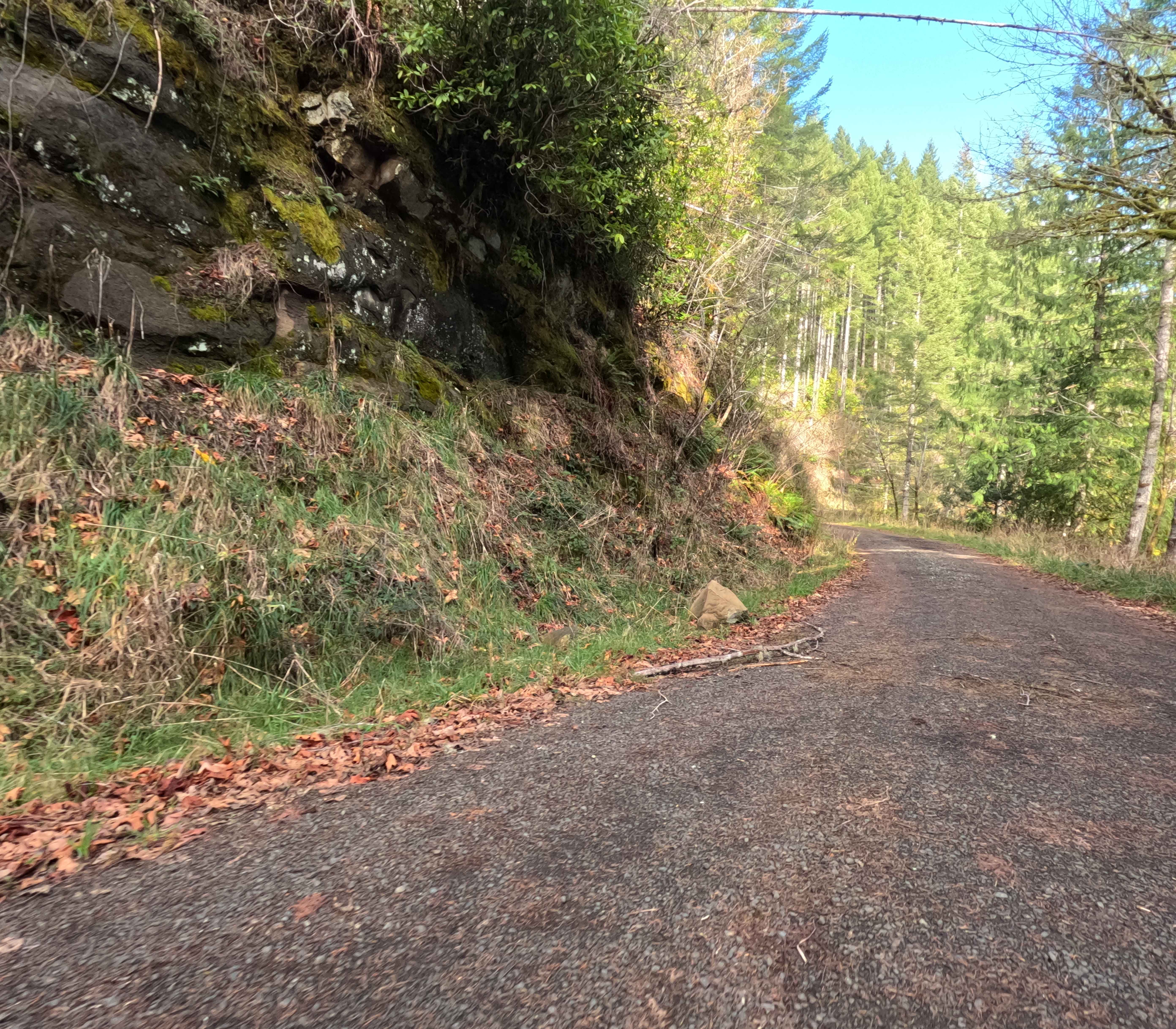
Off-Road Trails in Oregon
Discover off-road trails in Oregon
Learn more about Pickers to Triangle Hill
Pickers to Triangle Hill
Total Miles
4.4
Tech Rating
Moderate
Best Time
Spring, Summer, Fall
Learn more about Pillars of Rome
Pillars of Rome
Total Miles
17.4
Tech Rating
Easy
Best Time
Spring, Summer, Fall, Winter
Learn more about Pine Mountain Observatory Back Road
Pine Mountain Observatory Back Road
Total Miles
4.4
Tech Rating
Easy
Best Time
Spring, Summer, Fall
Learn more about Pioneer Gulch #2149
Pioneer Gulch #2149
Total Miles
12.4
Tech Rating
Easy
Best Time
Spring, Fall, Summer
Learn more about Pipeline #2215
Pipeline #2215
Total Miles
6.4
Tech Rating
Easy
Best Time
Spring, Summer, Fall
Learn more about Pistol Butte Summit
Pistol Butte Summit
Total Miles
3.7
Tech Rating
Difficult
Best Time
Spring, Summer, Fall
Learn more about Pittsburg Road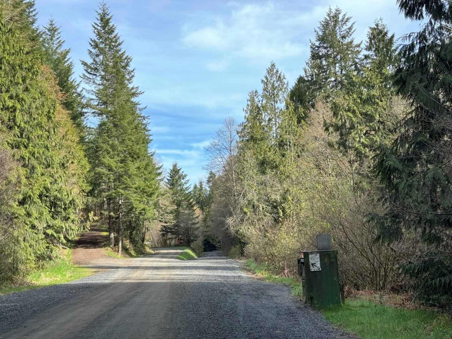
Pittsburg Road
Total Miles
10.2
Tech Rating
Easy
Best Time
Spring, Summer, Fall, Winter
Learn more about Platt Canyon Road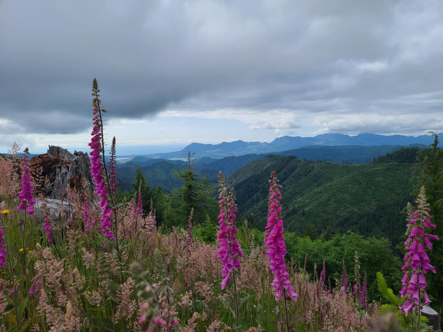
Platt Canyon Road
Total Miles
7.2
Tech Rating
Easy
Best Time
Spring, Summer, Fall
Learn more about Playa Vista Access Trail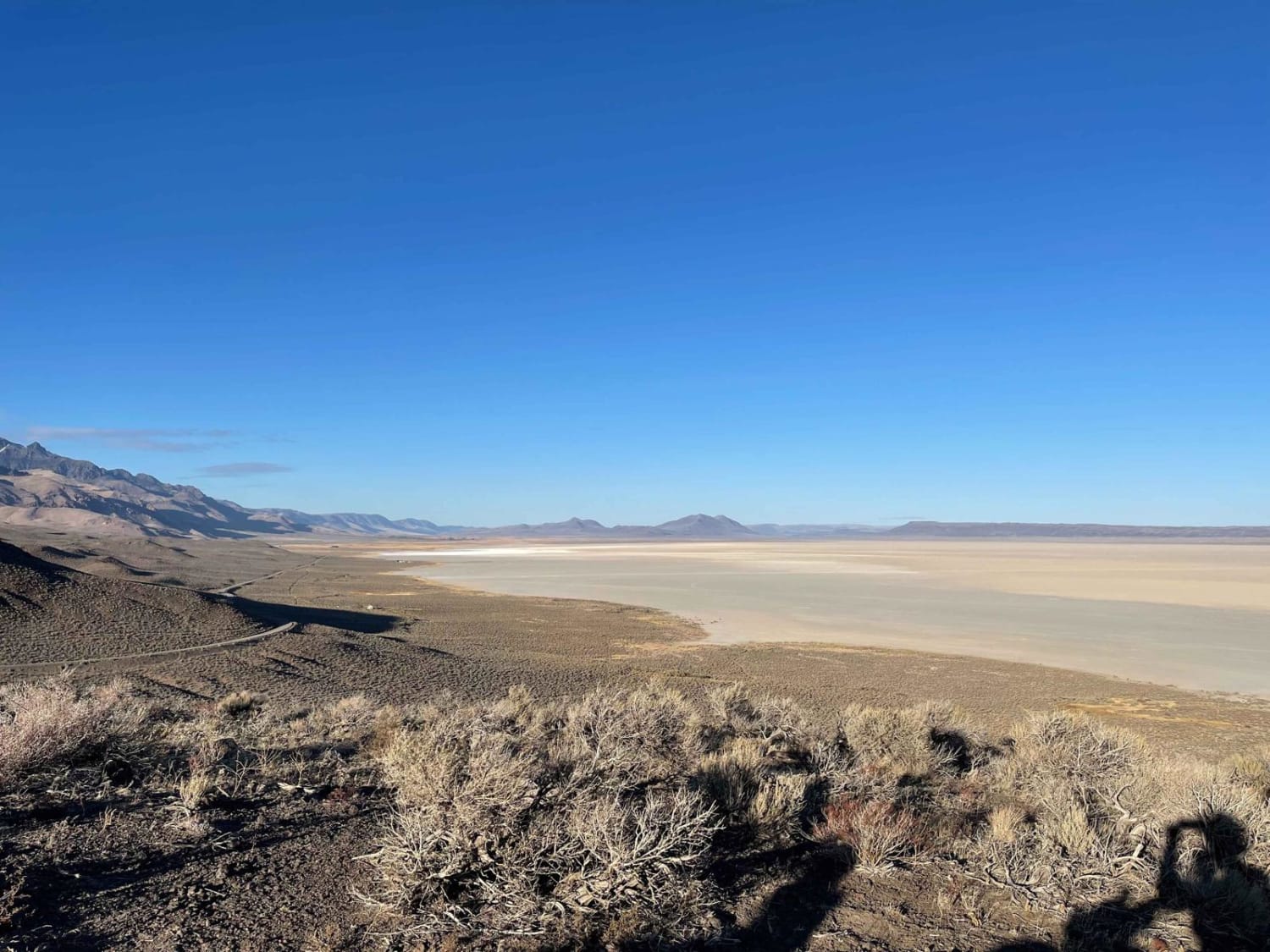
Playa Vista Access Trail
Total Miles
2.6
Tech Rating
Moderate
Best Time
Spring, Fall, Winter

Learn more about Portland Mill Rd
Portland Mill Rd
Total Miles
3.1
Tech Rating
Easy
Best Time
Spring, Summer, Fall
Learn more about Prairie Farm Creek
Prairie Farm Creek
Total Miles
8.1
Tech Rating
Easy
Best Time
Spring, Summer, Fall, Winter
Learn more about Prineville Dam Overlook
Prineville Dam Overlook
Total Miles
11.4
Tech Rating
Moderate
Best Time
Spring, Fall, Winter
Learn more about Prineville Reservoir BLM Trails
Prineville Reservoir BLM Trails
Total Miles
7.7
Tech Rating
Moderate
Best Time
Spring, Summer, Fall, Winter
Learn more about Pringle Butte Trail
Pringle Butte Trail
Total Miles
4.3
Tech Rating
Easy
Best Time
Spring, Summer, Fall
Learn more about Quarry Head Trail
Quarry Head Trail
Total Miles
2.7
Tech Rating
Easy
Best Time
Winter, Fall, Summer, Spring
ATV trails in Oregon


UTV/side-by-side trails in Oregon
Learn more about 10 Mile OHV Trail
10 Mile OHV Trail
Total Miles
1.6
Tech Rating
Easy
Best Time
Spring, Summer, Fall


The onX Offroad Difference
onX Offroad combines trail photos, descriptions, difficulty ratings, width restrictions, seasonality, and more in a user-friendly interface. Available on all devices, with offline access and full compatibility with CarPlay and Android Auto. Discover what you’re missing today!