Popo
Total Miles
10.6
Technical Rating
Best Time
Spring, Summer, Fall
Trail Type
Full-Width Road
Accessible By
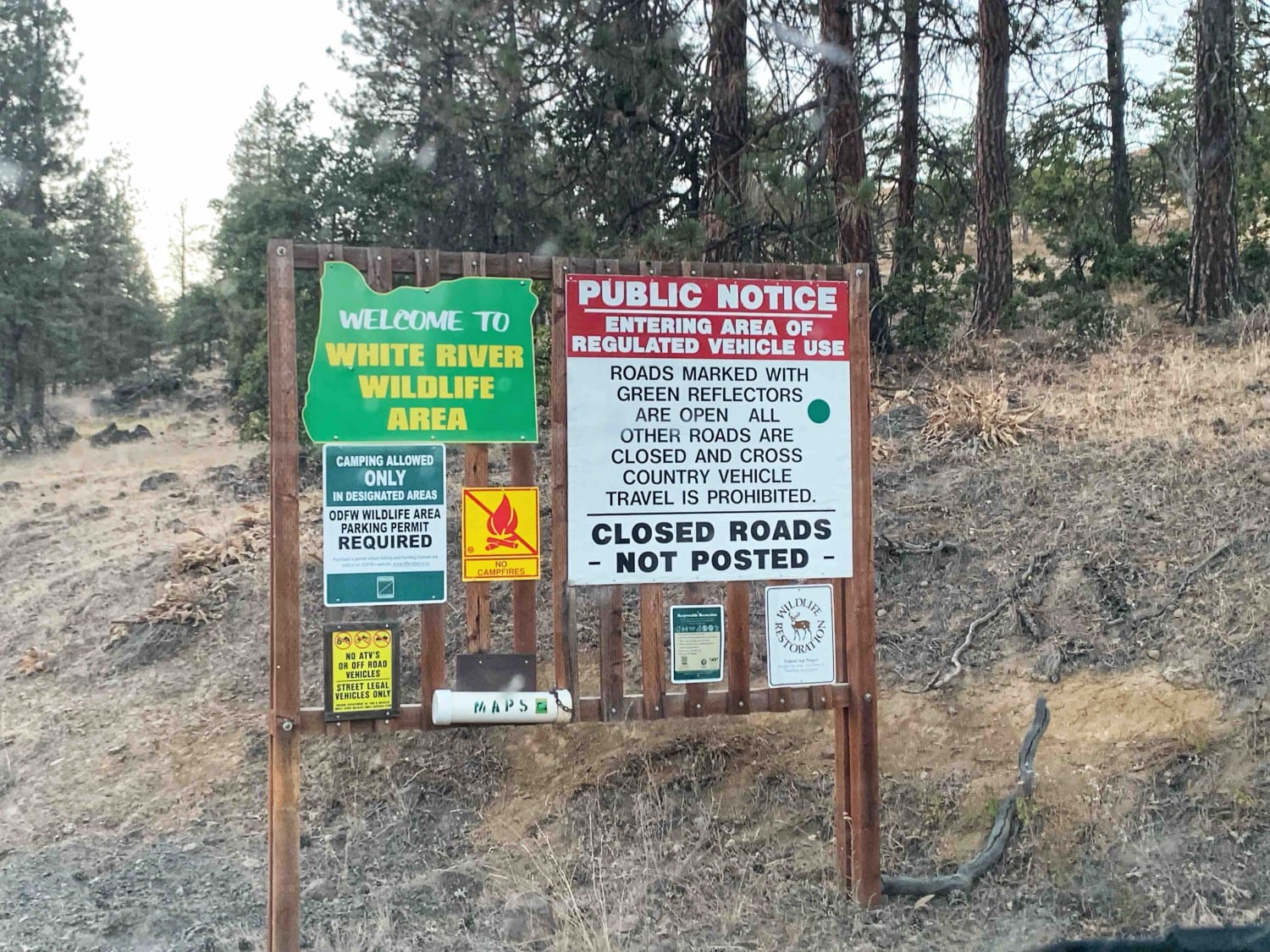
Trail Overview
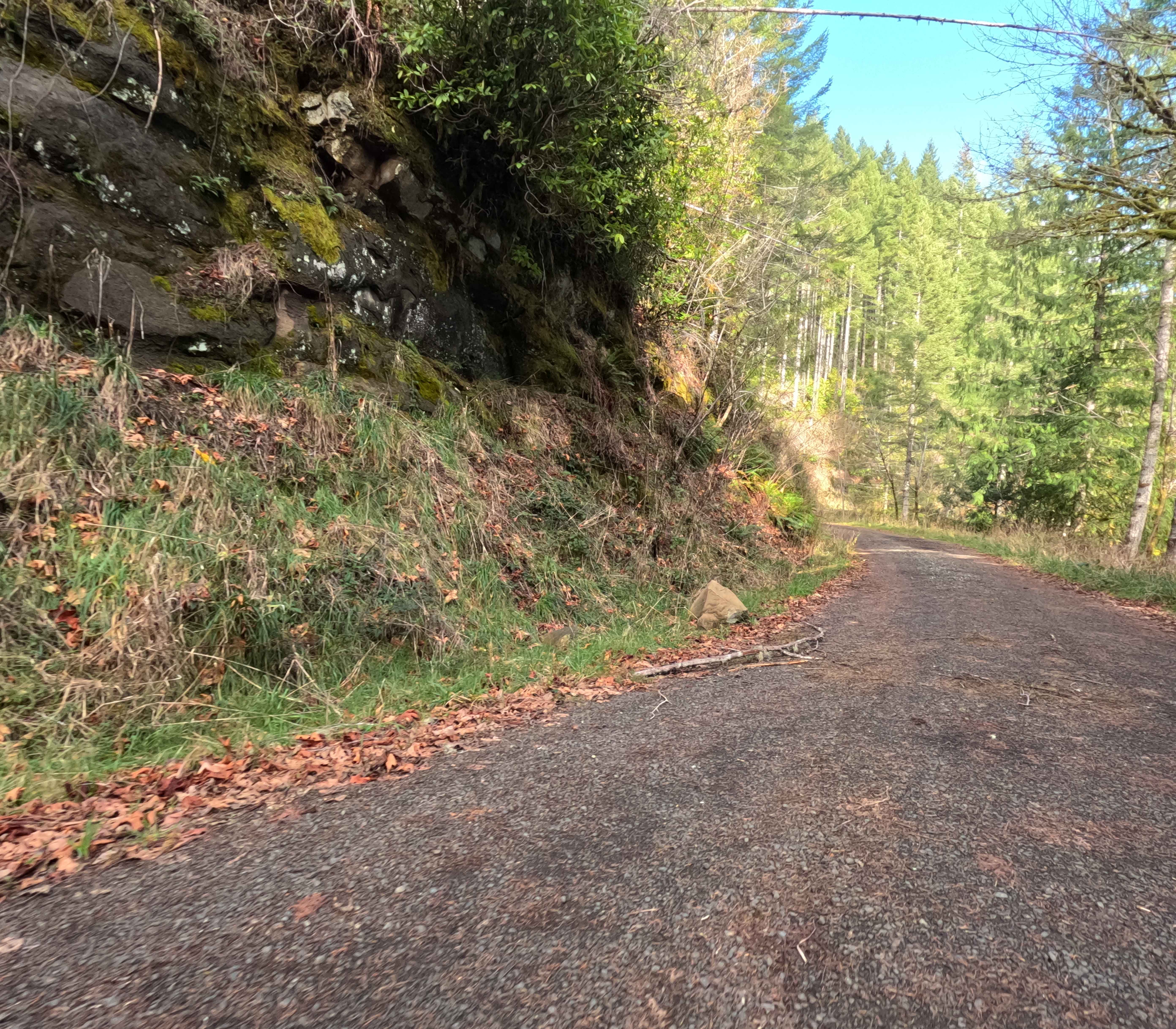
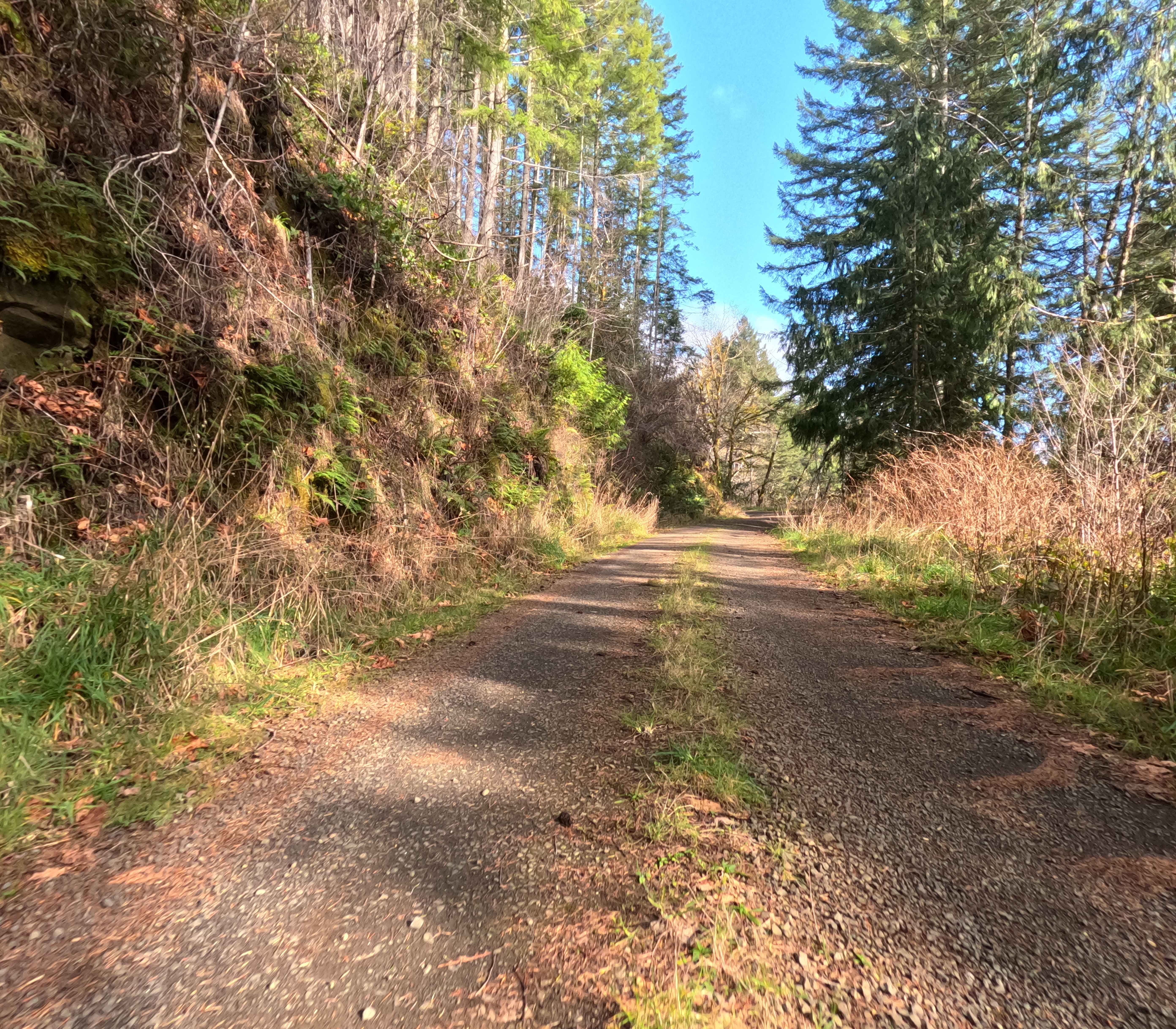
This fast, 10.5-mile gravel artery serves as a primary ascent from the coastal lowlands of South Canary Road into the rugged timberlands of the Siuslaw National Forest. The route is a well-graded, single-lane haul road that winds steadily upward through a mosaic of active commercial logging tracts. Travelers will experience a striking visual transition: starting among the industrial textures of clear-cuts and young plantation firs, the road eventually climbs across the forest boundary into the lush, moss-draped canopy of mature National Forest timber. The surface is surprisingly smooth and fast, allowing for a consistent pace, but the narrow track demands constant vigilance. Drivers must scan ahead for oncoming traffic and be prepared to utilize the occasional pullouts tucked into the fern-lined embankments.
Photos of Popo
Difficulty
While the road surface itself is often better than many paved city streets--smooth, hard-packed gravel--the difficulty lies in the single-lane width and the environment. This is likely an active logging corridor; the "2" rating cautions drivers against complacency. You must be prepared to reverse to a pullout if you encounter oncoming traffic or heavy equipment. Traction is excellent, and 4WD is rarely needed in dry conditions, but situational awareness around blind corners is mandatory.
Popo can be accessed by the following ride types:
- High-Clearance 4x4
- SUV
Popo Map
Popular Trails

Owyhee Oxbow Basin
Sisters to Trout Creek Butte Trails
Blue Mountains Trail 1972
Little Badger Creek
The onX Offroad Difference
onX Offroad combines trail photos, descriptions, difficulty ratings, width restrictions, seasonality, and more in a user-friendly interface. Available on all devices, with offline access and full compatibility with CarPlay and Android Auto. Discover what you’re missing today!