Off-Road Trails in Oregon
Discover off-road trails in Oregon
Learn more about Millican Plateau Trail 84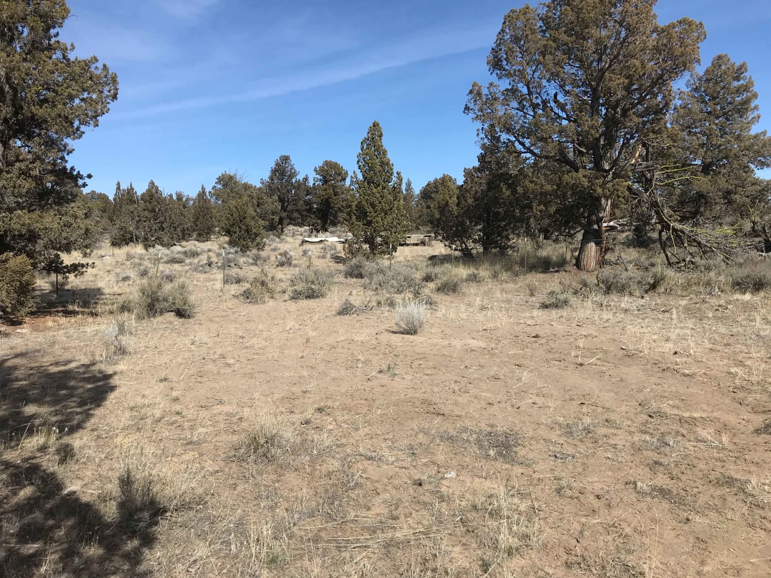
Millican Plateau Trail 84
Total Miles
4.1
Tech Rating
Moderate
Best Time
Fall, Spring
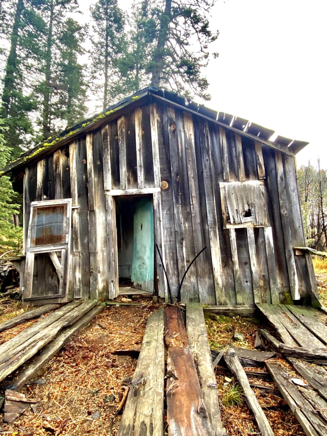
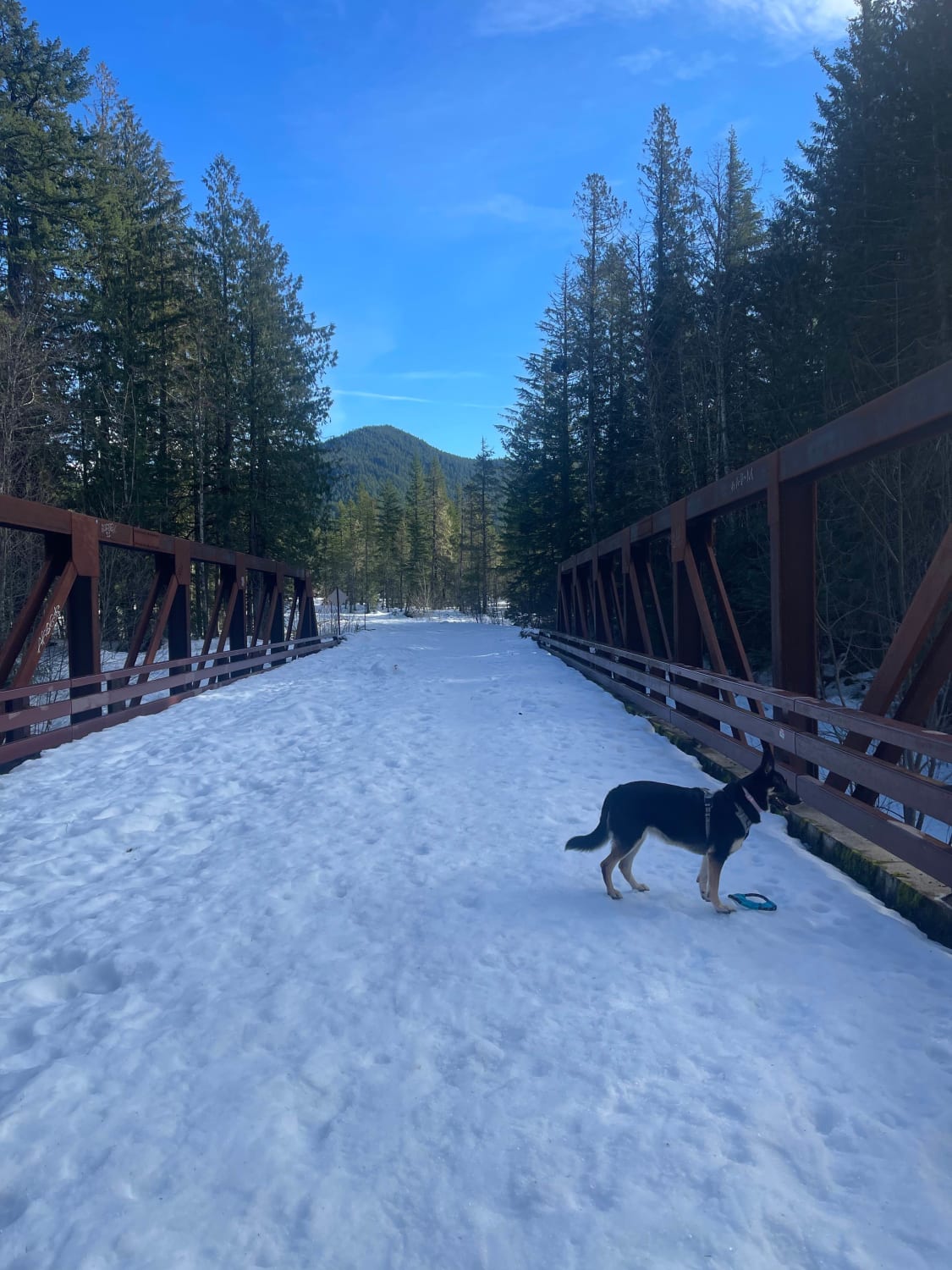
Learn more about Miner's Draw Cabin - FS 6175, 6145, 6105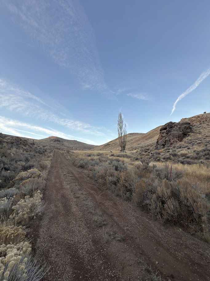
Miner's Draw Cabin - FS 6175, 6145, 6105
Total Miles
14.7
Tech Rating
Easy
Best Time
Spring, Summer, Fall
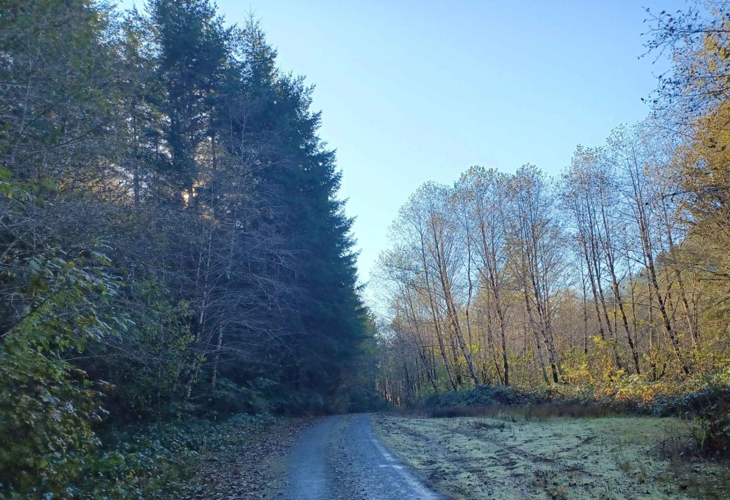
Learn more about Monon and Horseshoe Lakes Trail
Monon and Horseshoe Lakes Trail
Total Miles
1.8
Tech Rating
Easy
Best Time
Spring, Summer
Learn more about Moon Hill Road
Moon Hill Road
Total Miles
4.0
Tech Rating
Easy
Best Time
Summer, Fall, Spring
Learn more about Moon Hill to Dust Bowl Road
Moon Hill to Dust Bowl Road
Total Miles
39.0
Tech Rating
Easy
Best Time
Spring, Summer, Fall
Learn more about Moon Watch
Moon Watch
Total Miles
5.5
Tech Rating
Easy
Best Time
Winter, Fall, Spring, Summer
Learn more about Moose Mountain- FS 2027
Moose Mountain- FS 2027
Total Miles
16.5
Tech Rating
Easy
Best Time
Summer, Winter, Spring, Fall
Learn more about Mount Defiance - NF 2821000
Mount Defiance - NF 2821000
Total Miles
3.8
Tech Rating
Easy
Best Time
Summer, Fall
Learn more about Mt. Hood NFSR 4613000
Mt. Hood NFSR 4613000
Total Miles
4.7
Tech Rating
Easy
Best Time
Spring, Summer, Fall, Winter
Learn more about Mud Creek - Forest Road 309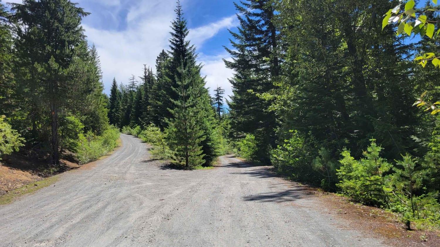
Mud Creek - Forest Road 309
Total Miles
4.0
Tech Rating
Easy
Best Time
Summer, Fall
Learn more about Mudlake Reservoir Road
Mudlake Reservoir Road
Total Miles
8.9
Tech Rating
Easy
Best Time
Fall
Learn more about Muesial Creek Road
Muesial Creek Road
Total Miles
4.5
Tech Rating
Easy
Best Time
Spring, Summer, Fall
Learn more about Murderers Creek Ranch
Murderers Creek Ranch
Total Miles
5.0
Tech Rating
Moderate
Best Time
Spring, Summer, Fall
Learn more about Murphy Guard Station Loop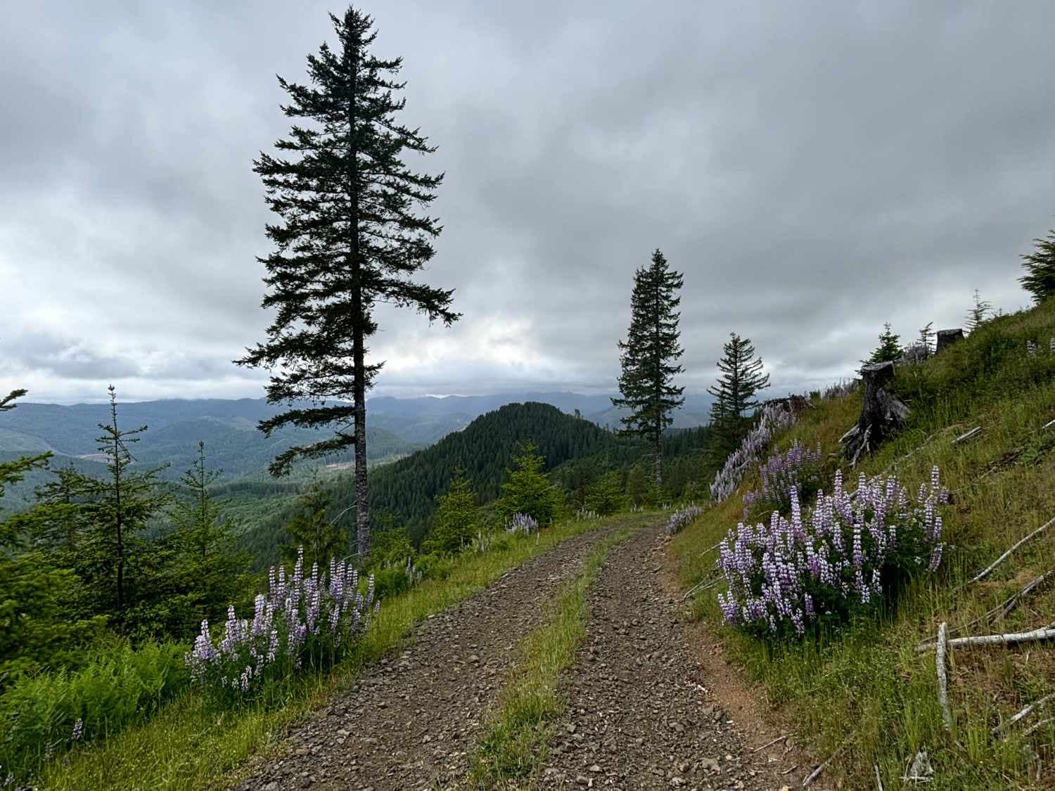
Murphy Guard Station Loop
Total Miles
9.0
Tech Rating
Easy
Best Time
Spring, Summer, Fall
ATV trails in Oregon


UTV/side-by-side trails in Oregon
Learn more about 10 Mile OHV Trail
10 Mile OHV Trail
Total Miles
1.6
Tech Rating
Easy
Best Time
Spring, Summer, Fall


The onX Offroad Difference
onX Offroad combines trail photos, descriptions, difficulty ratings, width restrictions, seasonality, and more in a user-friendly interface. Available on all devices, with offline access and full compatibility with CarPlay and Android Auto. Discover what you’re missing today!