Murderers Creek Ranch
Total Miles
5.0
Technical Rating
Best Time
Spring, Summer, Fall
Trail Type
Full-Width Road
Accessible By
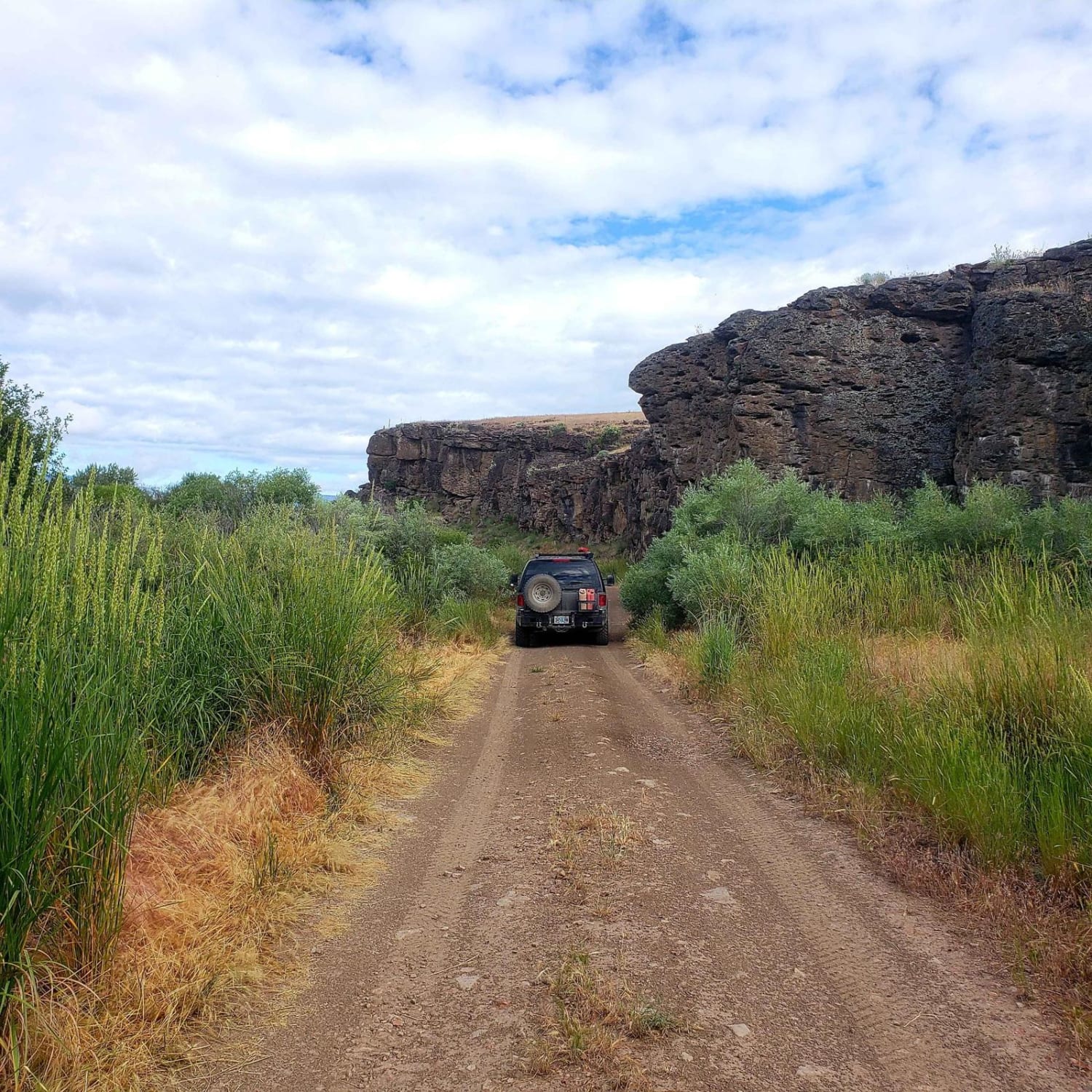
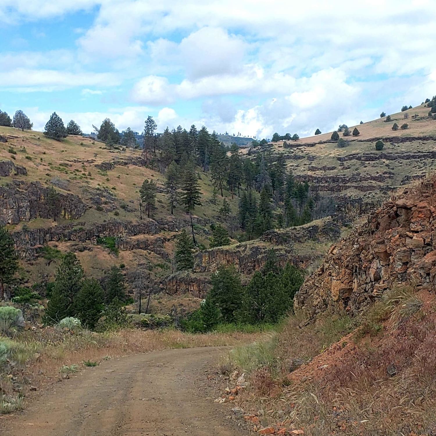
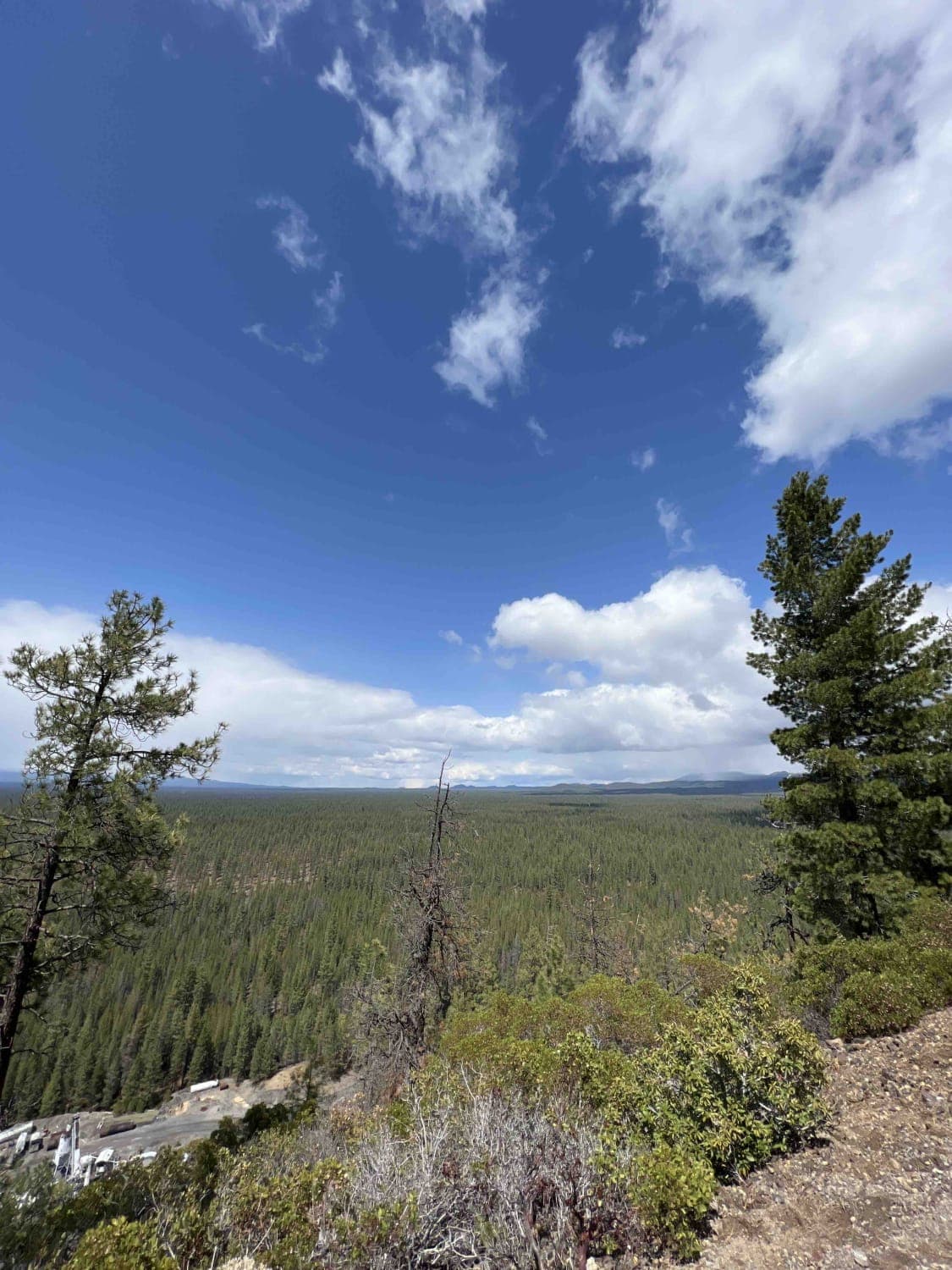
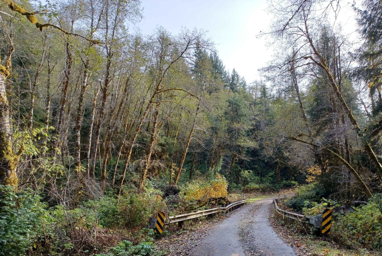
Trail Overview
This trail goes through the Phillip W. Schneider Wildlife Area to the abandoned Murderers Creek Ranch. The trail follows Murderers Creek, and there are many opportunities to wade in the creek or go for a hike. The route goes through the ponderosa pine forest, past juniper-choked canyons, and across the wide open high desert sagebrush steppe.
Photos of Murderers Creek Ranch
Difficulty
There is a water crossing over a foot deep through Murderers Creek, rocky and steep sections, deep potholes, and narrow sections.
Status Reports
Murderers Creek Ranch can be accessed by the following ride types:
- High-Clearance 4x4
- SUV
- SxS (60")
- ATV (50")
- Dirt Bike
Murderers Creek Ranch Map
Popular Trails
McPhillips Beach Trail
Kruger Rock Road
Finley Butte
Sourgrass Ridge
The onX Offroad Difference
onX Offroad combines trail photos, descriptions, difficulty ratings, width restrictions, seasonality, and more in a user-friendly interface. Available on all devices, with offline access and full compatibility with CarPlay and Android Auto. Discover what you’re missing today!