Off-Road Trails in Oregon
Discover off-road trails in Oregon
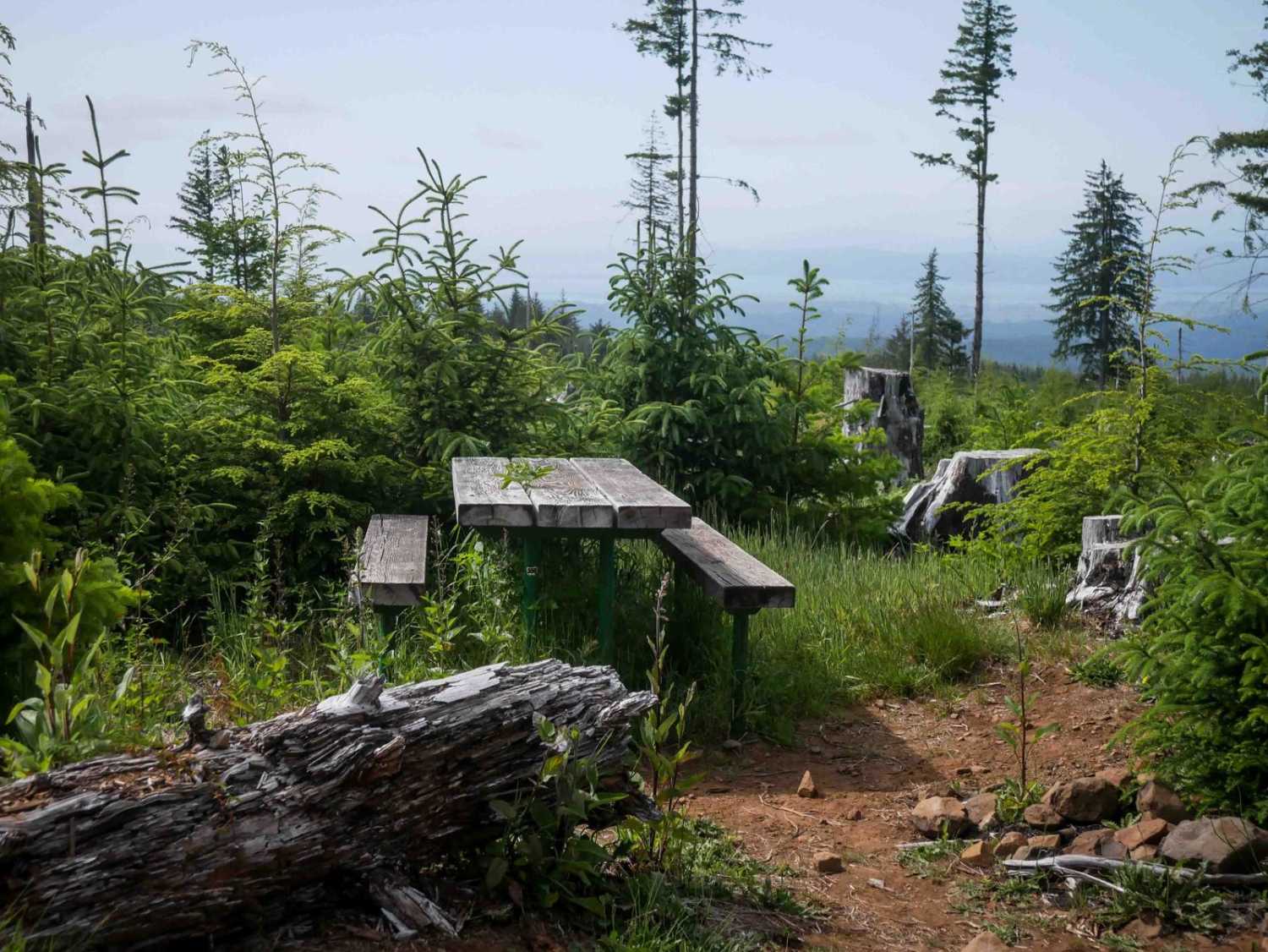
Learn more about McPherson Road
McPherson Road
Total Miles
3.4
Tech Rating
Easy
Best Time
Spring, Summer, Fall
Learn more about McPhillips Beach Trail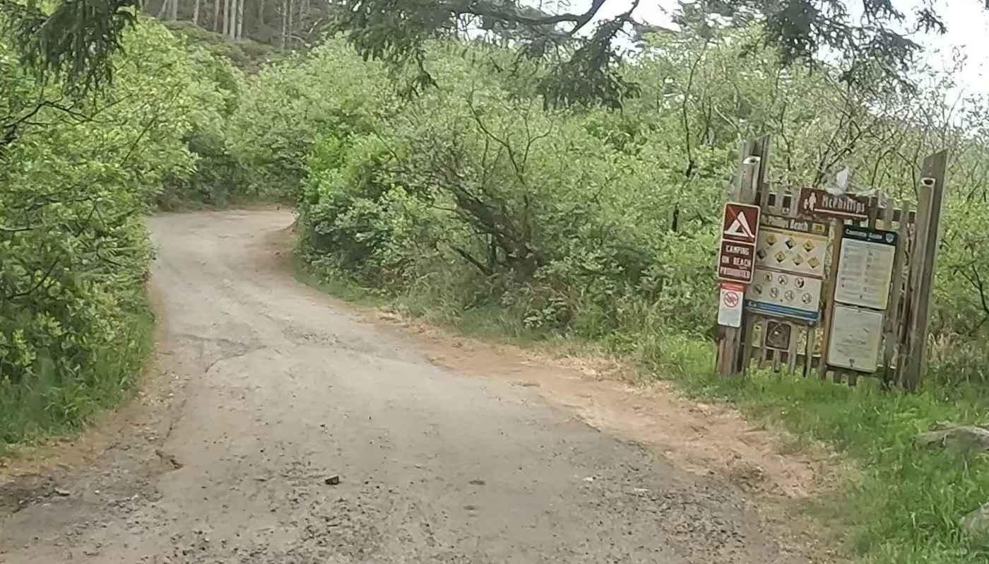
McPhillips Beach Trail
Total Miles
0.9
Tech Rating
Easy
Best Time
Winter, Fall, Summer, Spring
Learn more about McPhillips Beach Trail - North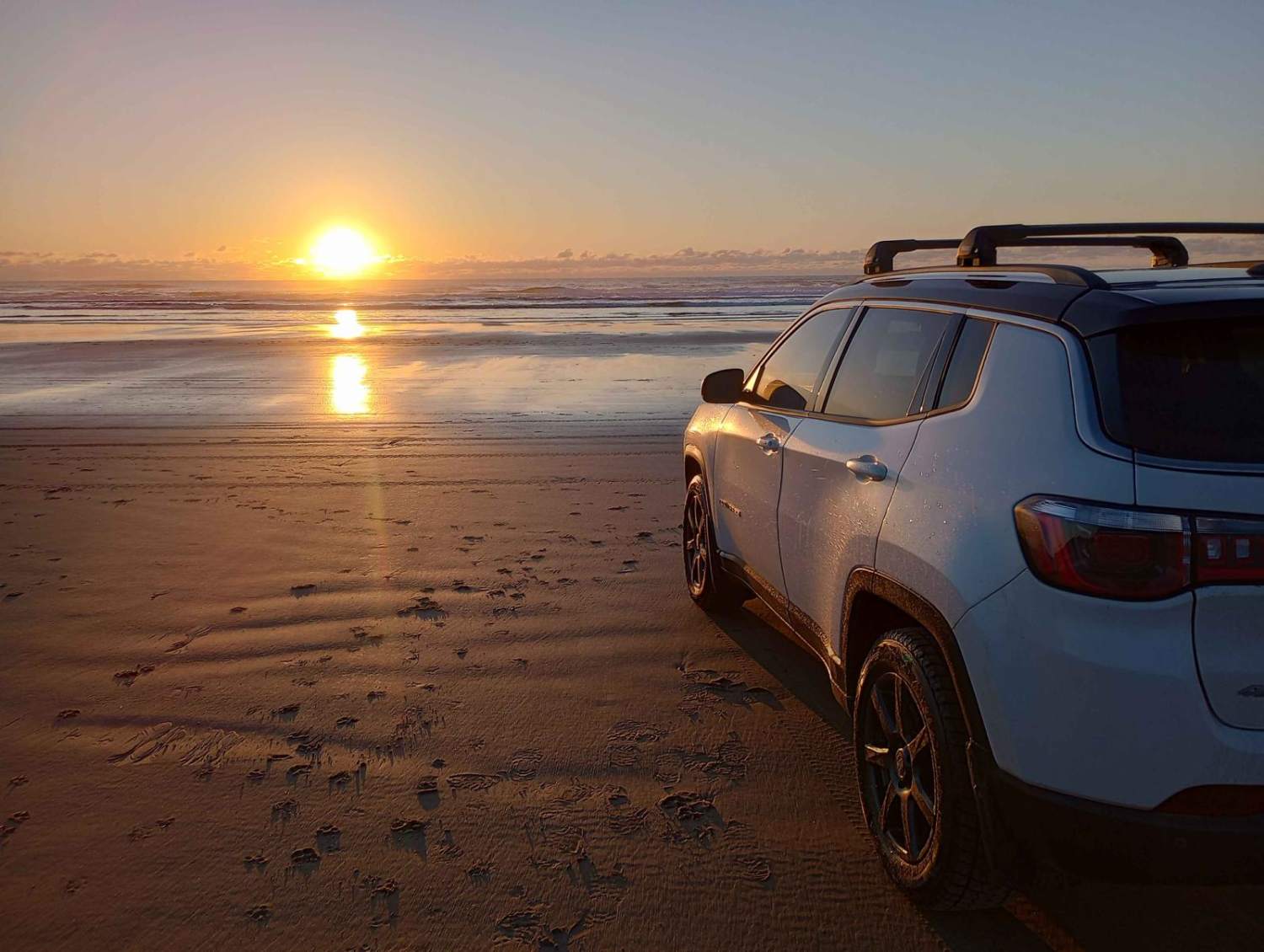
McPhillips Beach Trail - North
Total Miles
0.9
Tech Rating
Easy
Best Time
Spring, Summer, Fall, Winter
Learn more about Meat Pole Trail - 54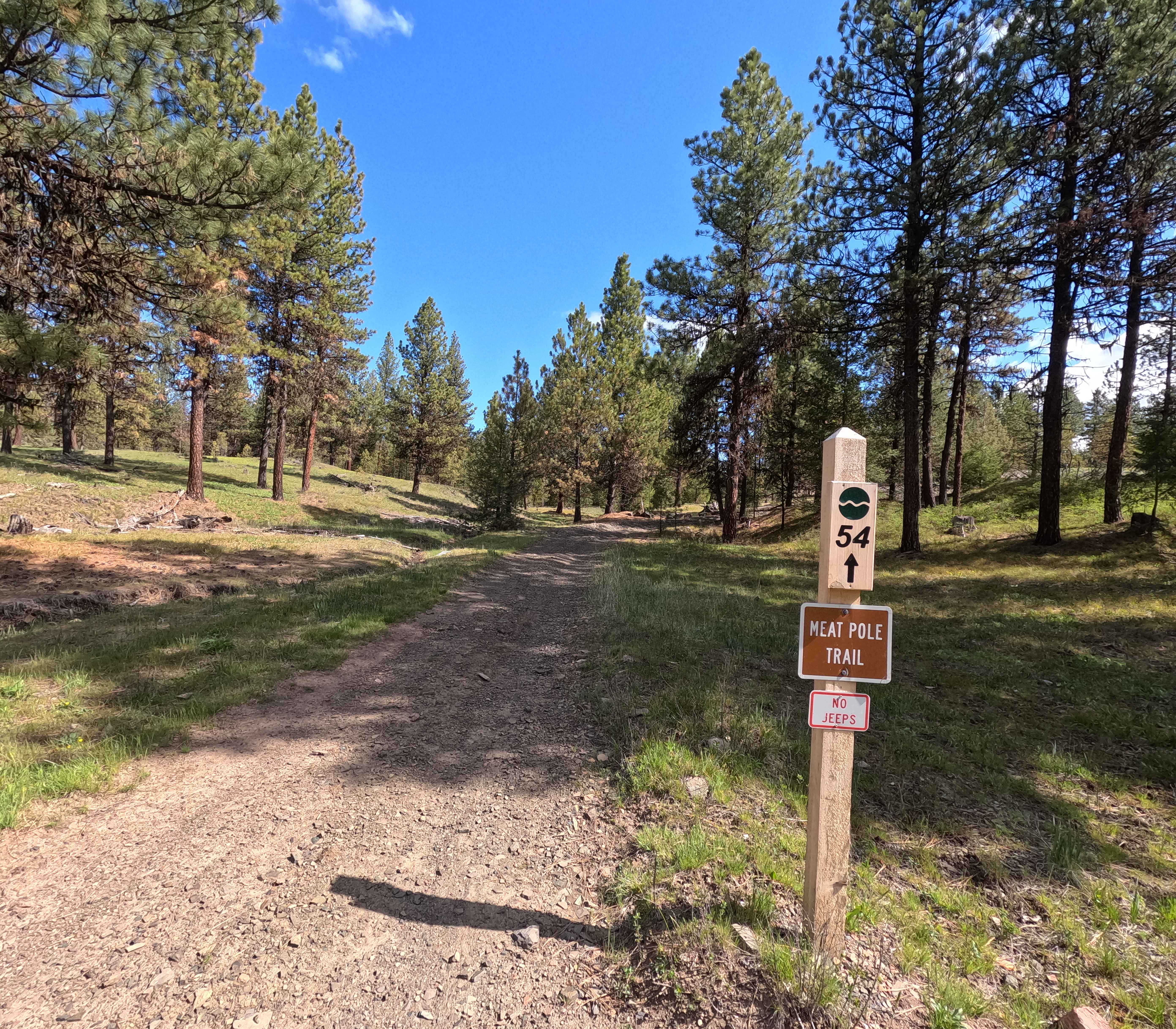
Meat Pole Trail - 54
Total Miles
3.1
Tech Rating
Easy
Best Time
Spring, Summer
Learn more about Miami River Forest Road
Miami River Forest Road
Total Miles
5.7
Tech Rating
Easy
Best Time
Spring, Summer, Fall
Learn more about Mickey Alvord Wells Road
Mickey Alvord Wells Road
Total Miles
14.5
Tech Rating
Easy
Best Time
Spring, Summer, Fall
Learn more about Mid Coast Ridge
Mid Coast Ridge
Total Miles
6.1
Tech Rating
Easy
Best Time
Spring, Summer, Fall, Winter
Learn more about Miller Canyon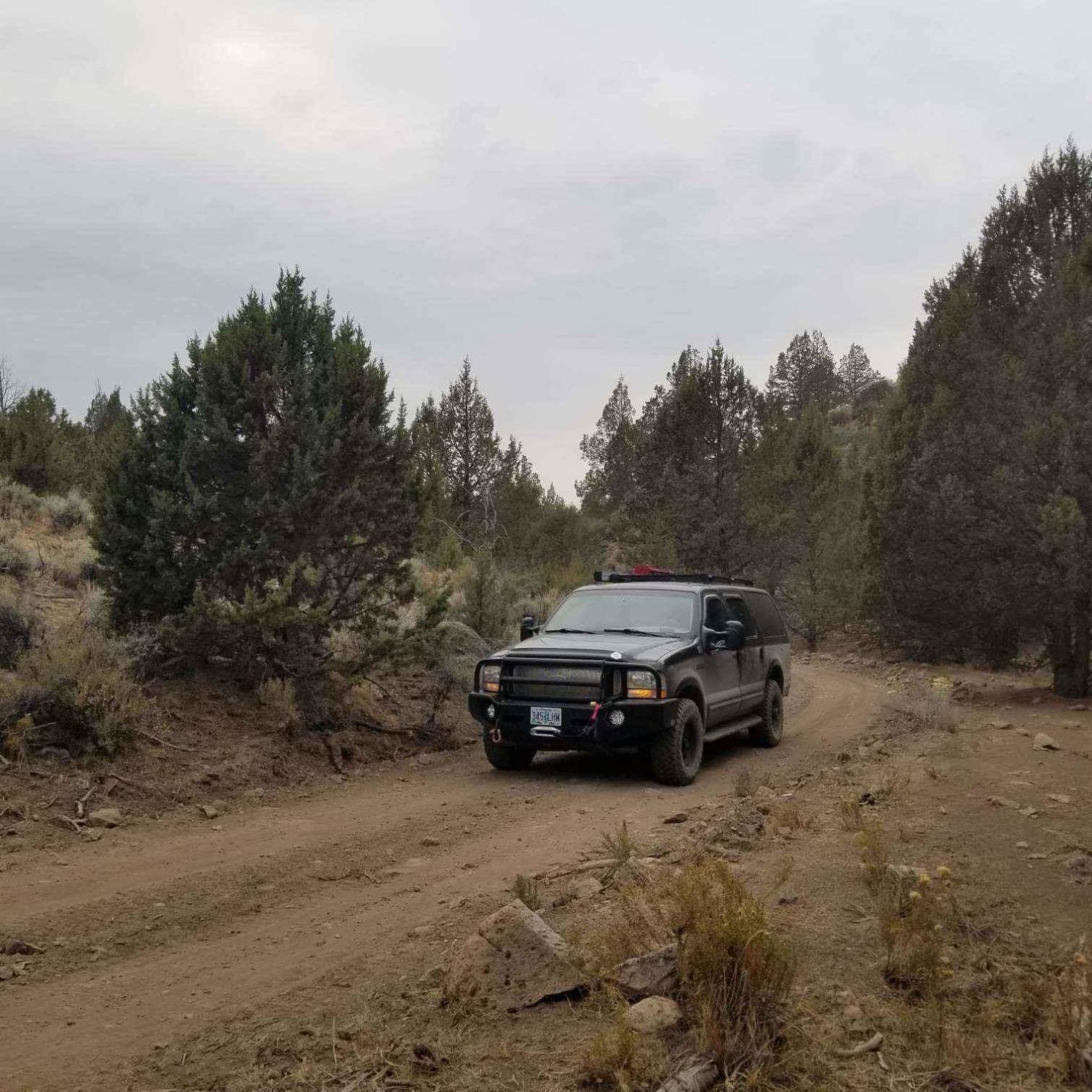
Miller Canyon
Total Miles
9.1
Tech Rating
Easy
Best Time
Summer, Spring, Fall
Learn more about Miller Lake and Digit Campground - FS 9772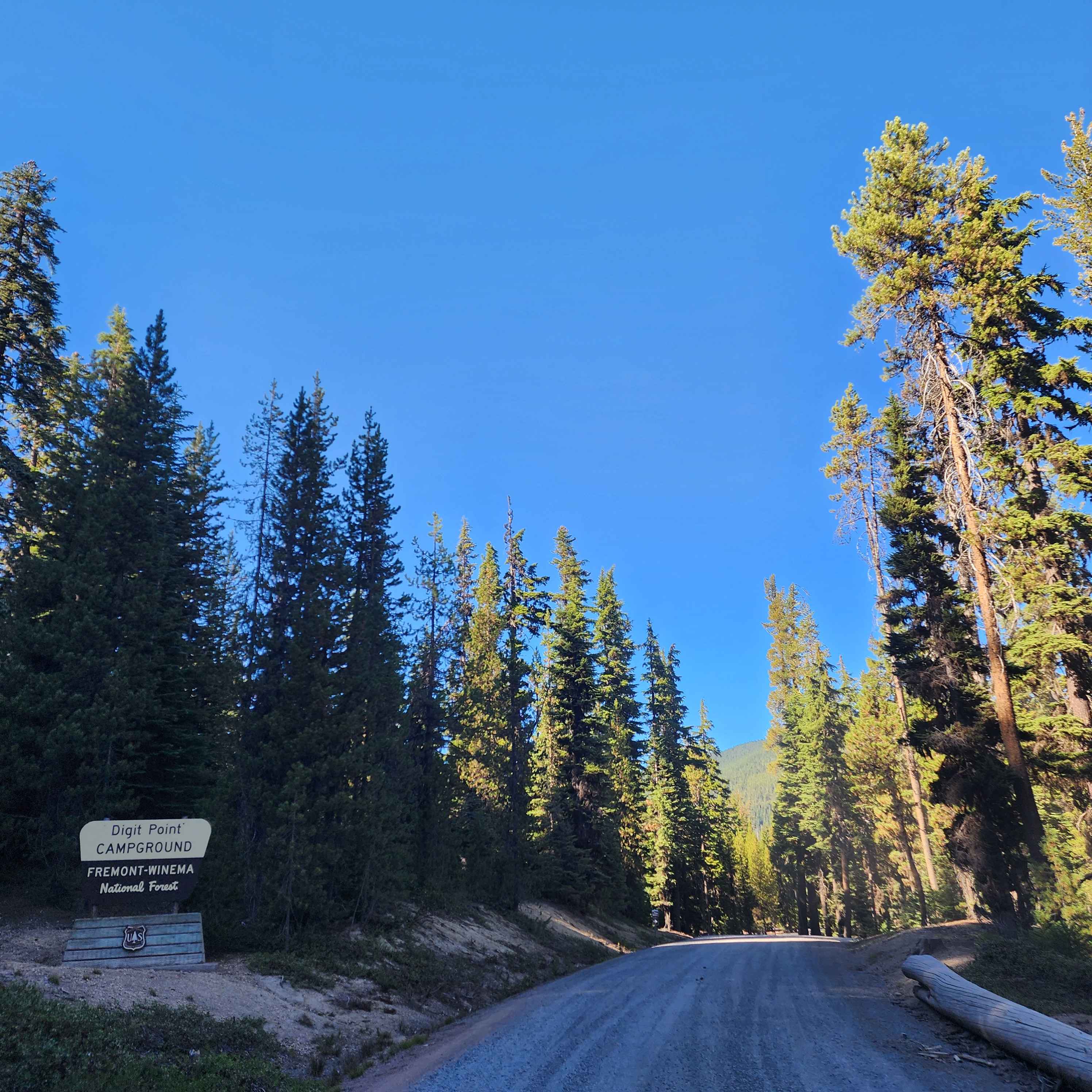
Miller Lake and Digit Campground - FS 9772
Total Miles
12.1
Tech Rating
Easy
Best Time
Spring, Summer, Fall
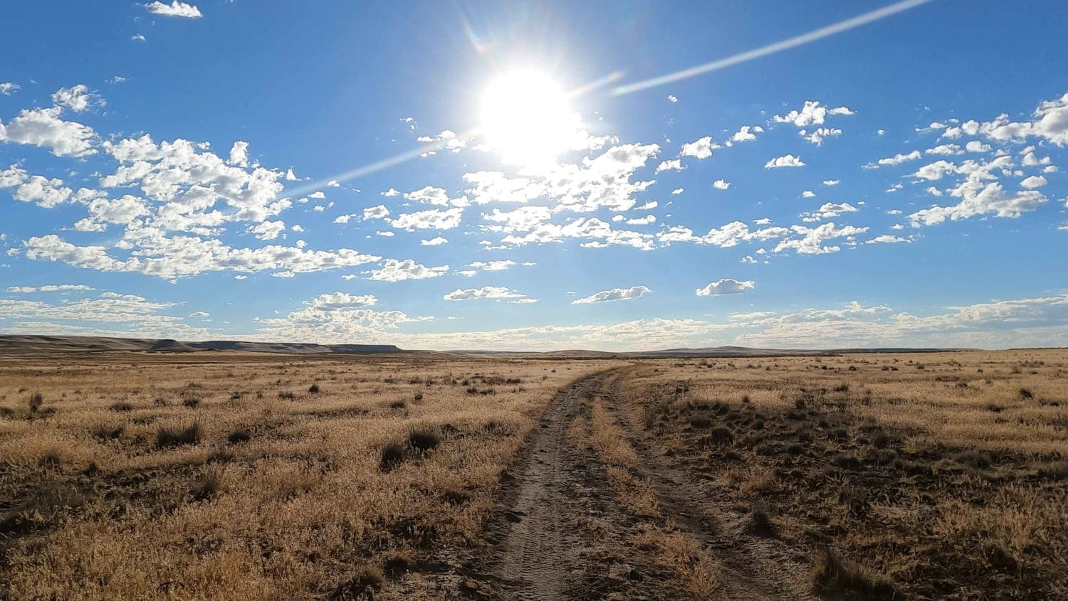
Learn more about Millican Plateau OHV Trail 17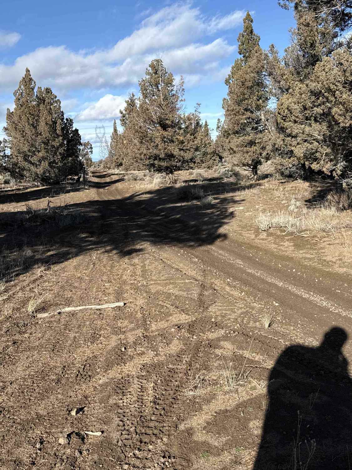
Millican Plateau OHV Trail 17
Total Miles
4.6
Tech Rating
Easy
Best Time
Spring, Summer, Fall, Winter
Learn more about Millican Plateau OHV Trail 55
Millican Plateau OHV Trail 55
Total Miles
8.2
Tech Rating
Moderate
Best Time
Spring, Summer, Fall, Winter
Learn more about Millican Plateau OHV Trail 83
Millican Plateau OHV Trail 83
Total Miles
9.3
Tech Rating
Easy
Best Time
Spring, Summer, Fall, Winter
Learn more about Millican Plateau OHV Trail 86
Millican Plateau OHV Trail 86
Total Miles
3.8
Tech Rating
Easy
Best Time
Summer, Spring
Learn more about Millican Plateau OHV Trail 90
Millican Plateau OHV Trail 90
Total Miles
6.1
Tech Rating
Easy
Best Time
Spring, Summer, Fall, Winter
Learn more about Millican Plateau Trail 82
Millican Plateau Trail 82
Total Miles
3.5
Tech Rating
Easy
Best Time
Spring, Fall
ATV trails in Oregon


UTV/side-by-side trails in Oregon
Learn more about 10 Mile OHV Trail
10 Mile OHV Trail
Total Miles
1.6
Tech Rating
Easy
Best Time
Spring, Summer, Fall


The onX Offroad Difference
onX Offroad combines trail photos, descriptions, difficulty ratings, width restrictions, seasonality, and more in a user-friendly interface. Available on all devices, with offline access and full compatibility with CarPlay and Android Auto. Discover what you’re missing today!