Miami River Forest Road
Total Miles
5.7
Technical Rating
Best Time
Spring, Summer, Fall
Trail Type
Full-Width Road
Accessible By
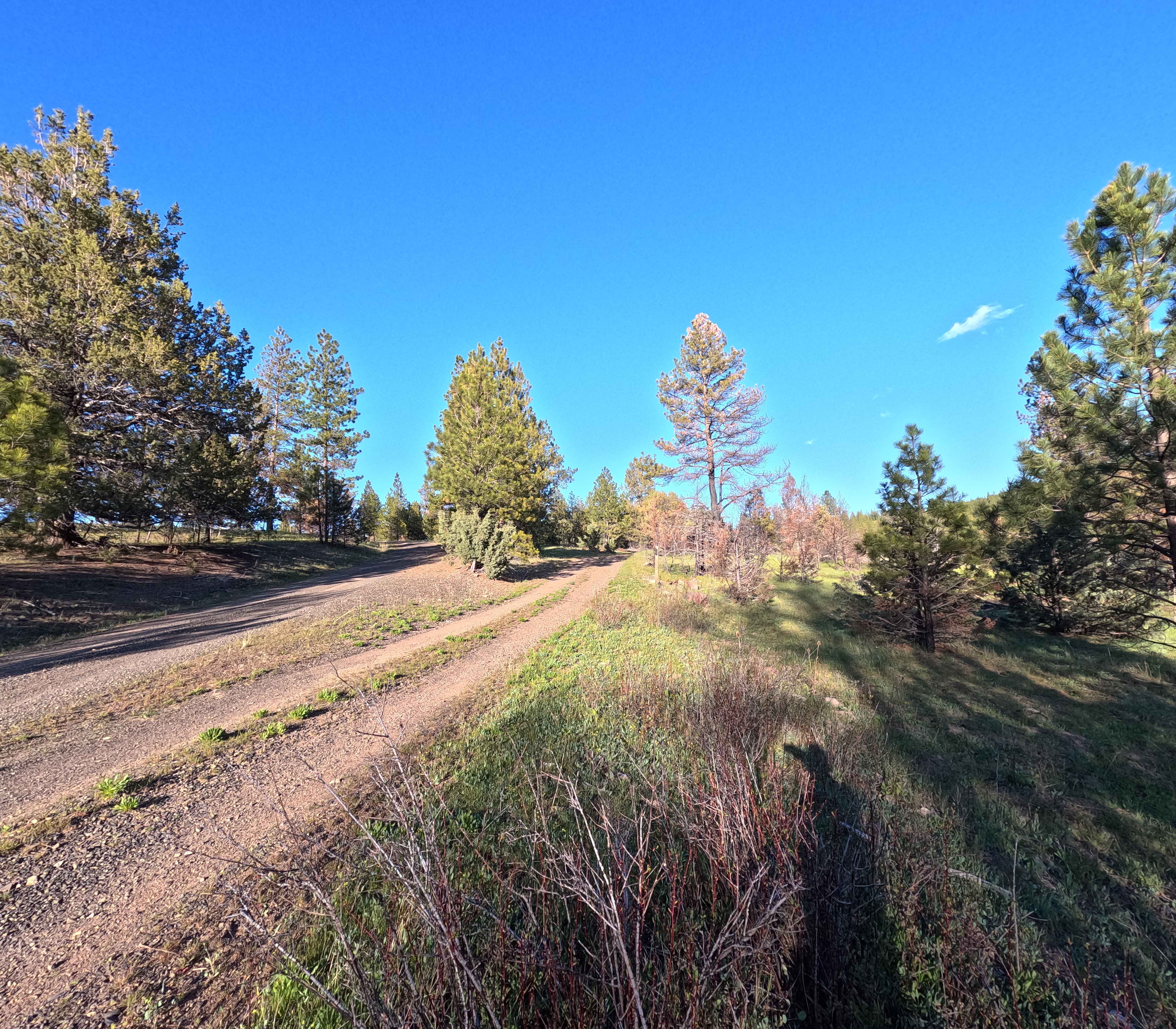
Trail Overview
Miami River Forest Road and Frank Crane Road are a 4-6 mile gravel route through Tillamook State Forest's second-growth Douglas-fir, along the Miami River, offering year-round access for hiking, fishing, and OHV, but expect variable conditions due to over 100 inches of annual rainfall: summer/fall brings dry, well-maintained gravel with minimal mud and vibrant foliage. Note that many maps (including onXoffroad) show the road intersecting the Miami-Foley Road, but there is a locked gate.
Photos of Miami River Forest Road


Difficulty
The Miami River Forest Road itself (the 4-6 mile stretch that actually runs along the Miami River) is flat, low-elevation, and usually smooth-to-moderately rutted gravel year-round.
History
Established in the late 1800s (with records from 1893 confirming public status) and expanded as a logging road in the mid-20th century after devastating wildfires (1933-1951) that wiped out the original old-growth forest. The area was replanted starting in 1949 as part of Oregon's largest reforestation effort. A 1989 court decision reaffirmed it as a public road, but segments have been decommissioned for environmental reasons (e.g., 2.15 miles removed along the river in the 2010s to reduce erosion and fish habitat impacts).
Miami River Forest Road can be accessed by the following ride types:
- High-Clearance 4x4
- SUV
Miami River Forest Road Map
Popular Trails
Madison Butte Lookout - FS 2119033


McPhillips Beach Trail - North
Long Green Mountain Lookout Loop
The onX Offroad Difference
onX Offroad combines trail photos, descriptions, difficulty ratings, width restrictions, seasonality, and more in a user-friendly interface. Available on all devices, with offline access and full compatibility with CarPlay and Android Auto. Discover what you’re missing today!