McNary Loop
Total Miles
2.1
Technical Rating
Best Time
Spring, Fall
Trail Type
60" Trail
Accessible By
Trail Overview
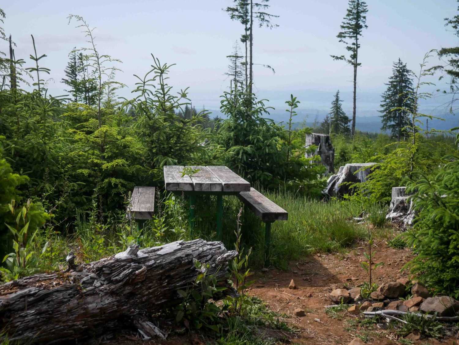
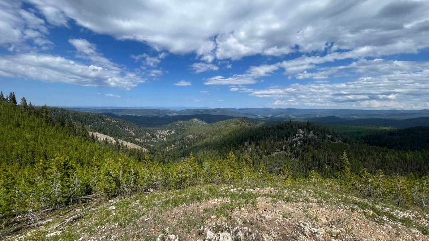
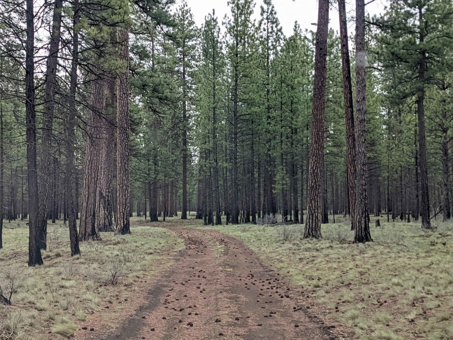
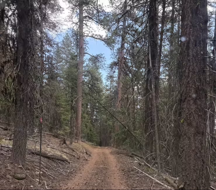
McNary Loop begins on the south end with fast, flowy terrain and a smooth surface. After crossing a road, the trail becomes more technical with embedded rock, root bands, and tight turns, all while gradually descending. The trail eventually curves out onto a logged hillside, where big loose rocks add some challenge, and it gets a bit steeper. A scenic overlook with a picnic table provides a stunning view all the way to the Columbia River. The steepest part of the trail is on the north end as it connects to Trunkline. It's overall manageable for average OHV users, with a bit more challenge from the rocks and grade.
Photos of McNary Loop

Difficulty
This is an easy trail overall, with minor technical features that add variety without raising the difficulty significantly.
Status Reports
McNary Loop can be accessed by the following ride types:
- SxS (60")
- ATV (50")
- Dirt Bike
McNary Loop Map
Popular Trails
Winom/Frazier OHV Loop

Black Butte Backdoor - NF1012-500
Wildcat Mountain Trail - FS 3350
The onX Offroad Difference
onX Offroad combines trail photos, descriptions, difficulty ratings, width restrictions, seasonality, and more in a user-friendly interface. Available on all devices, with offline access and full compatibility with CarPlay and Android Auto. Discover what you’re missing today!