Miller Lane
Total Miles
18.3
Technical Rating
Best Time
Fall
Trail Type
Full-Width Road
Accessible By
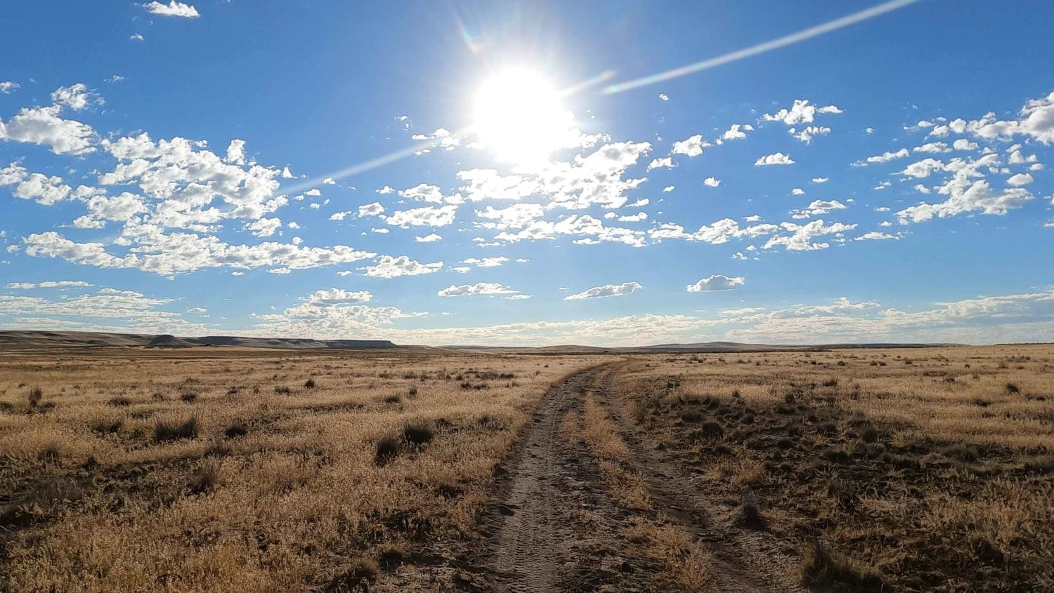
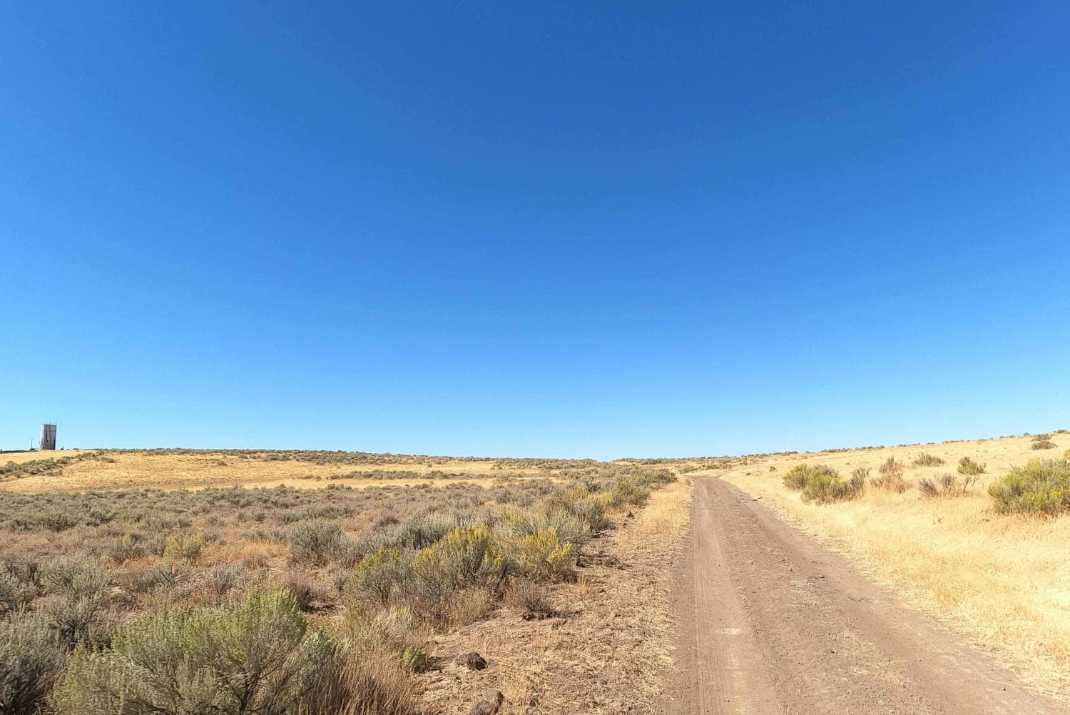
Trail Overview
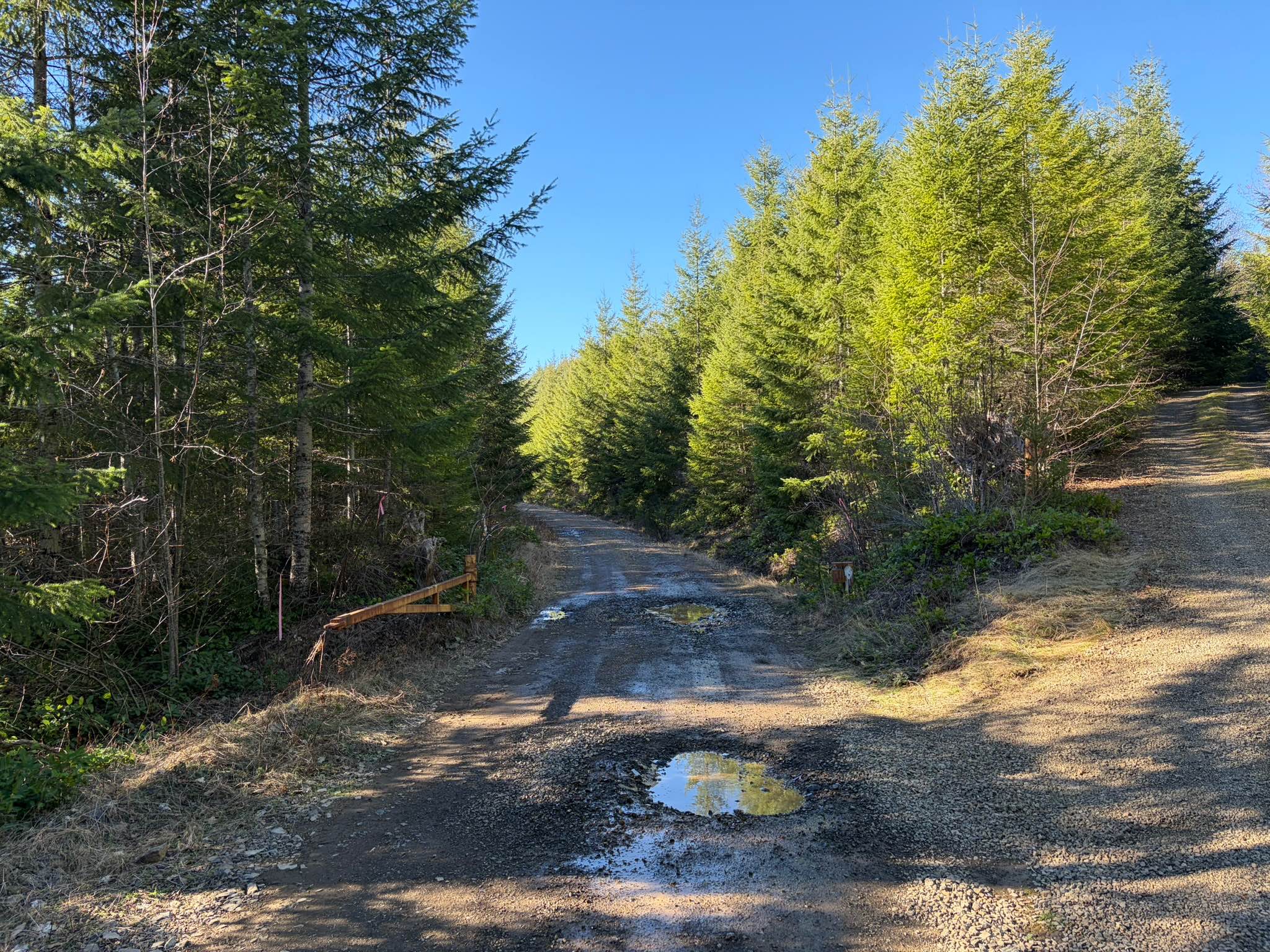
Miller Lane is a bumpy, dirt road that is an elongated "C" shape on the map, arcing out from the water tower at the center of the plateau to follow the curve of the edge of the Owyhee Canyon and then arcing back inward to terminate at Mudlake Reservoir Road. There is very little traffic out here. Bring extra fuel, water, and spare tires. There is a high silica content in the dirt in this region. When dry, it's fine talc dust that gets everywhere and in everything. When wet, it becomes a slippery mess and dries hard on your vehicle like concrete. Be prepared to hike out if traveling in this area during the wet season.
Photos of Miller Lane
Difficulty
rugged dirt and rock road
Status Reports
Miller Lane can be accessed by the following ride types:
- High-Clearance 4x4
- SUV
Miller Lane Map
Popular Trails
Arnold Ice Cave to Lava Butte
Wolf Creek Road

Firebreak 5 Jeep Badge of Honor Trail
The onX Offroad Difference
onX Offroad combines trail photos, descriptions, difficulty ratings, width restrictions, seasonality, and more in a user-friendly interface. Available on all devices, with offline access and full compatibility with CarPlay and Android Auto. Discover what you’re missing today!