MRS RD 4550000
Total Miles
14.1
Technical Rating
Best Time
Summer, Fall
Trail Type
Full-Width Road
Accessible By
Trail Overview
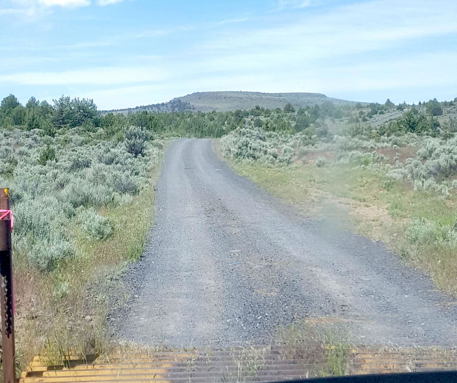
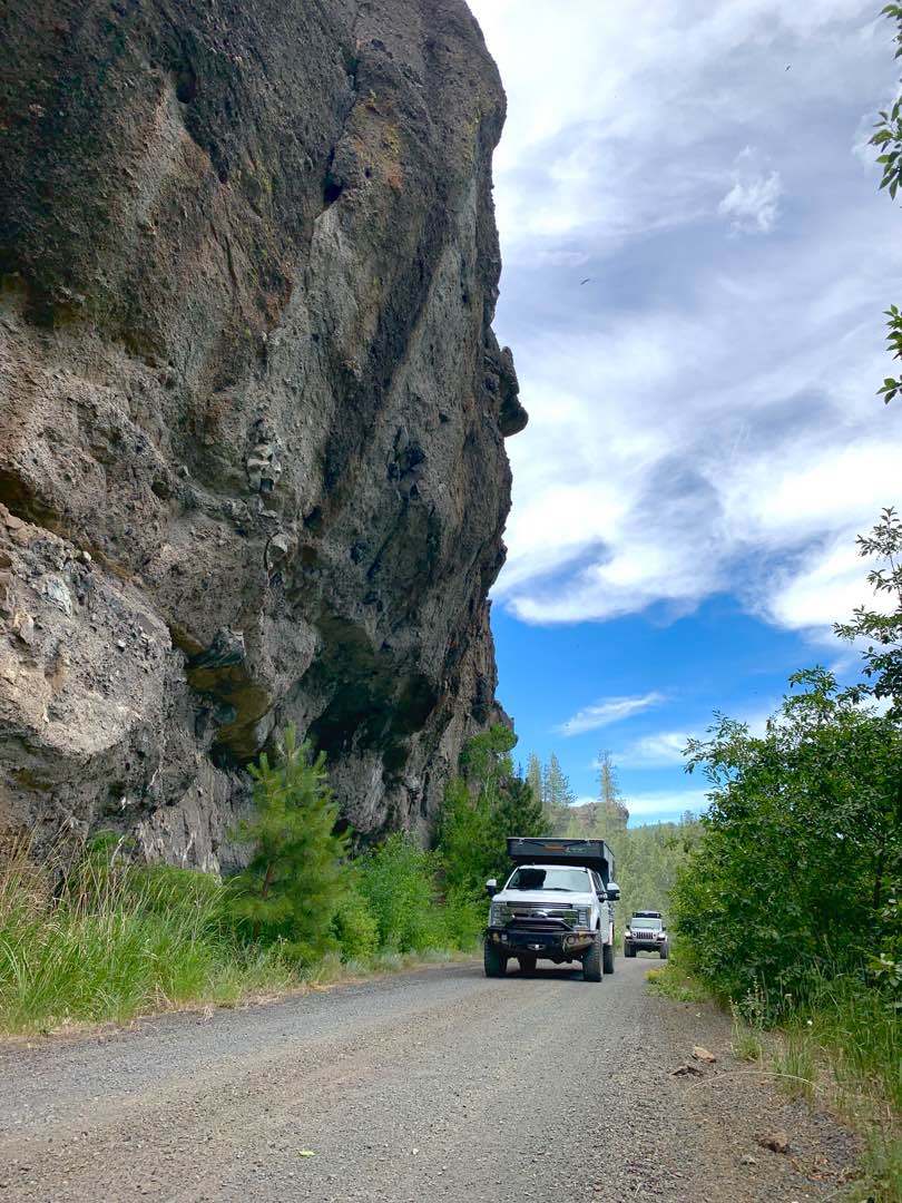
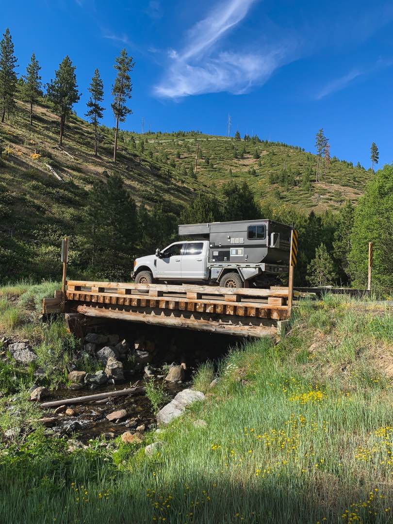
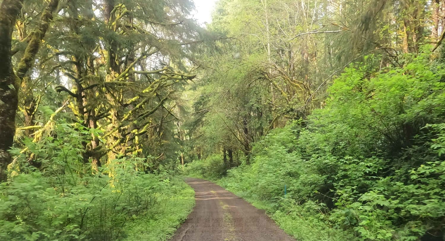
This route climbs to the northwest from the Middle Fork of Oregon's John Day River. Along the way, you'll encounter a handful of beautiful wild camp spots often used by local hunters. As the road climbs out of the valley, it narrows and winds as it climbs. Near the end before it connects with a well-maintained FS road, this road becomes a pretty narrow two-track trail that appears to be much less frequently traveled than the surrounding roads. It appears that rain or snow melt could create a bit of a challenge at times, but for the most part the entire route is fairly easy.
Photos of MRS RD 4550000
Difficulty
The road narrows with elevation, and rain and/or snow melt could potentially create very muddy conditions at the route's highest elevations.
Status Reports
MRS RD 4550000 can be accessed by the following ride types:
- High-Clearance 4x4
- SUV
- SxS (60")
- ATV (50")
- Dirt Bike
MRS RD 4550000 Map
Popular Trails

Three Fingers Loop West

Skull Creek to Horton MIll Connector

Cultus Mountain Trail
The onX Offroad Difference
onX Offroad combines trail photos, descriptions, difficulty ratings, width restrictions, seasonality, and more in a user-friendly interface. Available on all devices, with offline access and full compatibility with CarPlay and Android Auto. Discover what you’re missing today!


