Off-Road Trails in Oregon
Discover off-road trails in Oregon
Learn more about Quentin Creek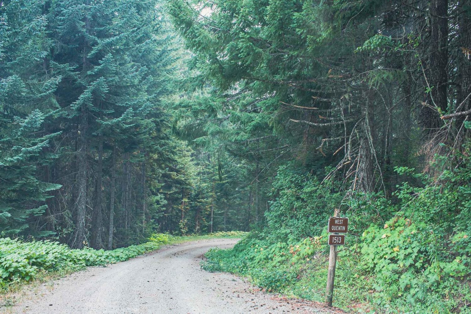
Quentin Creek
Total Miles
7.7
Tech Rating
Easy
Best Time
Spring, Summer, Fall
Learn more about Railbed Riot
Railbed Riot
Total Miles
12.8
Tech Rating
Easy
Best Time
Spring, Summer, Fall
Learn more about RD 2630 / Summit Trail
RD 2630 / Summit Trail
Total Miles
5.3
Tech Rating
Moderate
Best Time
Summer, Fall
Learn more about Recovery Ridge
Recovery Ridge
Total Miles
3.5
Tech Rating
Easy
Best Time
Spring, Summer, Fall
Learn more about Red Rock Trail - 41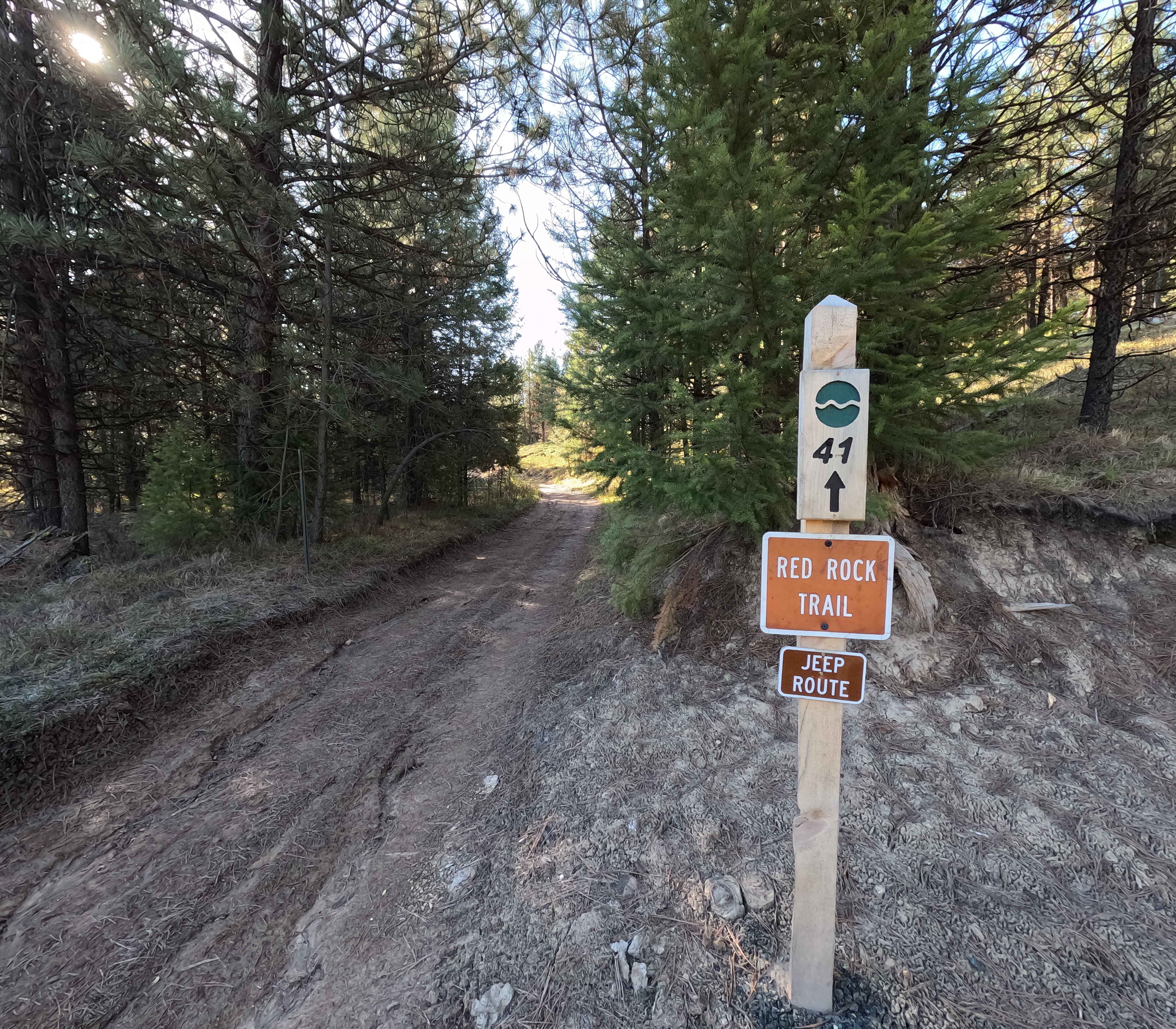
Red Rock Trail - 41
Total Miles
0.8
Tech Rating
Easy
Best Time
Spring, Summer, Fall
Learn more about Remington Ranch Road Loop
Remington Ranch Road Loop
Total Miles
5.2
Tech Rating
Moderate
Best Time
Spring, Summer, Fall
Learn more about Reservoir Road - FSR 44
Reservoir Road - FSR 44
Total Miles
15.8
Tech Rating
Easy
Best Time
Summer, Spring
Learn more about Riddle Brothers Ranch 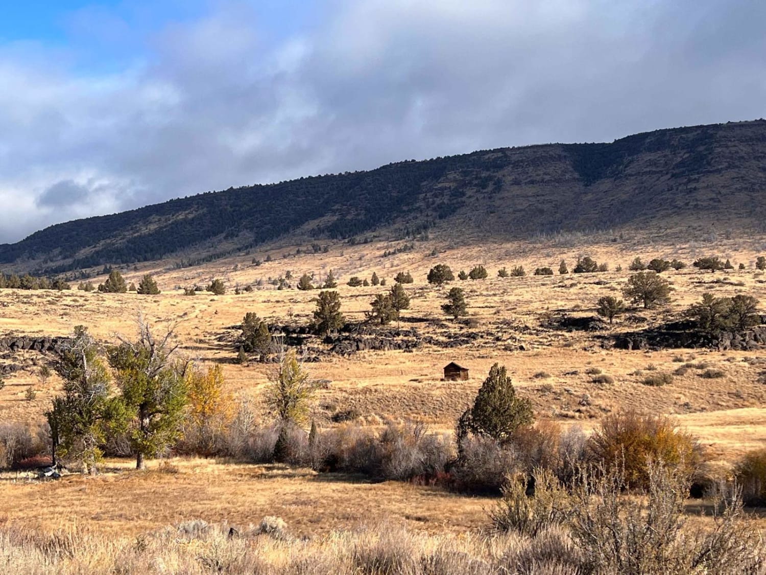
Riddle Brothers Ranch
Total Miles
2.5
Tech Rating
Easy
Best Time
Summer, Fall

Learn more about Right Fork Hellgate Recreation Site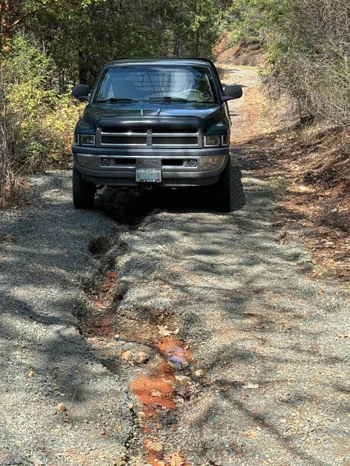
Right Fork Hellgate Recreation Site
Total Miles
1.7
Tech Rating
Easy
Best Time
Summer
Learn more about River to Sky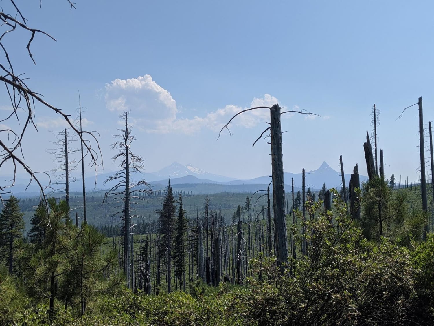
River to Sky
Total Miles
10.0
Tech Rating
Easy
Best Time
Spring, Summer, Fall
Learn more about Road to Zigzag Mountain Hiking Trail
Road to Zigzag Mountain Hiking Trail
Total Miles
0.5
Tech Rating
Easy
Best Time
Spring, Summer, Fall, Winter
Learn more about Rock Creek - 4811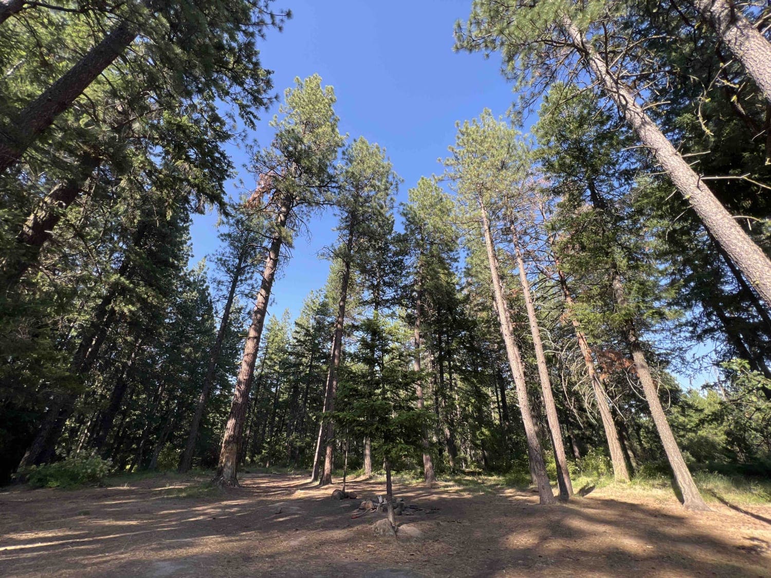
Rock Creek - 4811
Total Miles
15.0
Tech Rating
Easy
Best Time
Spring, Summer, Fall
Learn more about Rock the Ridge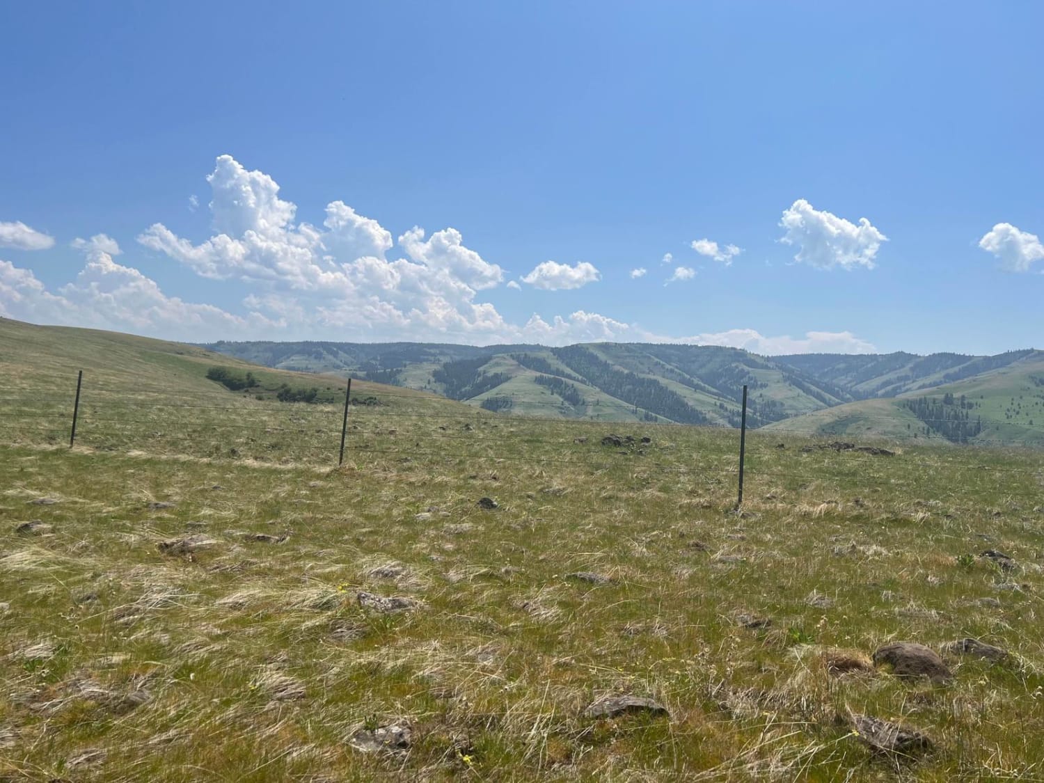
Rock the Ridge
Total Miles
19.0
Tech Rating
Easy
Best Time
Spring, Summer, Fall
Learn more about Rock Valley Lookout Road
Rock Valley Lookout Road
Total Miles
1.1
Tech Rating
Easy
Best Time
Spring, Summer, Fall
Learn more about Rocky Peak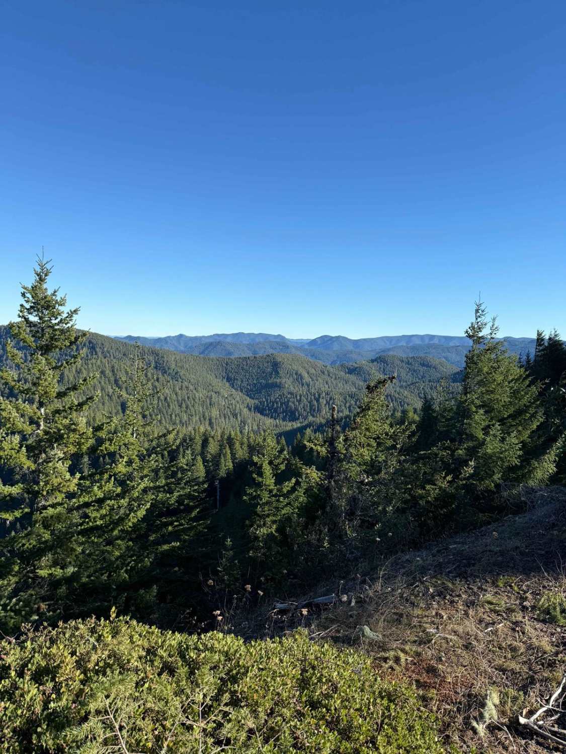
Rocky Peak
Total Miles
3.3
Tech Rating
Moderate
Best Time
Fall, Summer, Spring, Winter

Learn more about Rogers Camp Road #1 
Rogers Camp Road #1
Total Miles
2.0
Tech Rating
Easy
Best Time
Spring, Fall
Learn more about Rolling Grounds
Rolling Grounds
Total Miles
2.3
Tech Rating
Easy
Best Time
Spring, Summer, Fall
ATV trails in Oregon


UTV/side-by-side trails in Oregon
Learn more about 10 Mile OHV Trail
10 Mile OHV Trail
Total Miles
1.6
Tech Rating
Easy
Best Time
Spring, Summer, Fall


The onX Offroad Difference
onX Offroad combines trail photos, descriptions, difficulty ratings, width restrictions, seasonality, and more in a user-friendly interface. Available on all devices, with offline access and full compatibility with CarPlay and Android Auto. Discover what you’re missing today!