River to Sky
Total Miles
10.0
Technical Rating
Best Time
Spring, Summer, Fall
Trail Type
Full-Width Road
Accessible By
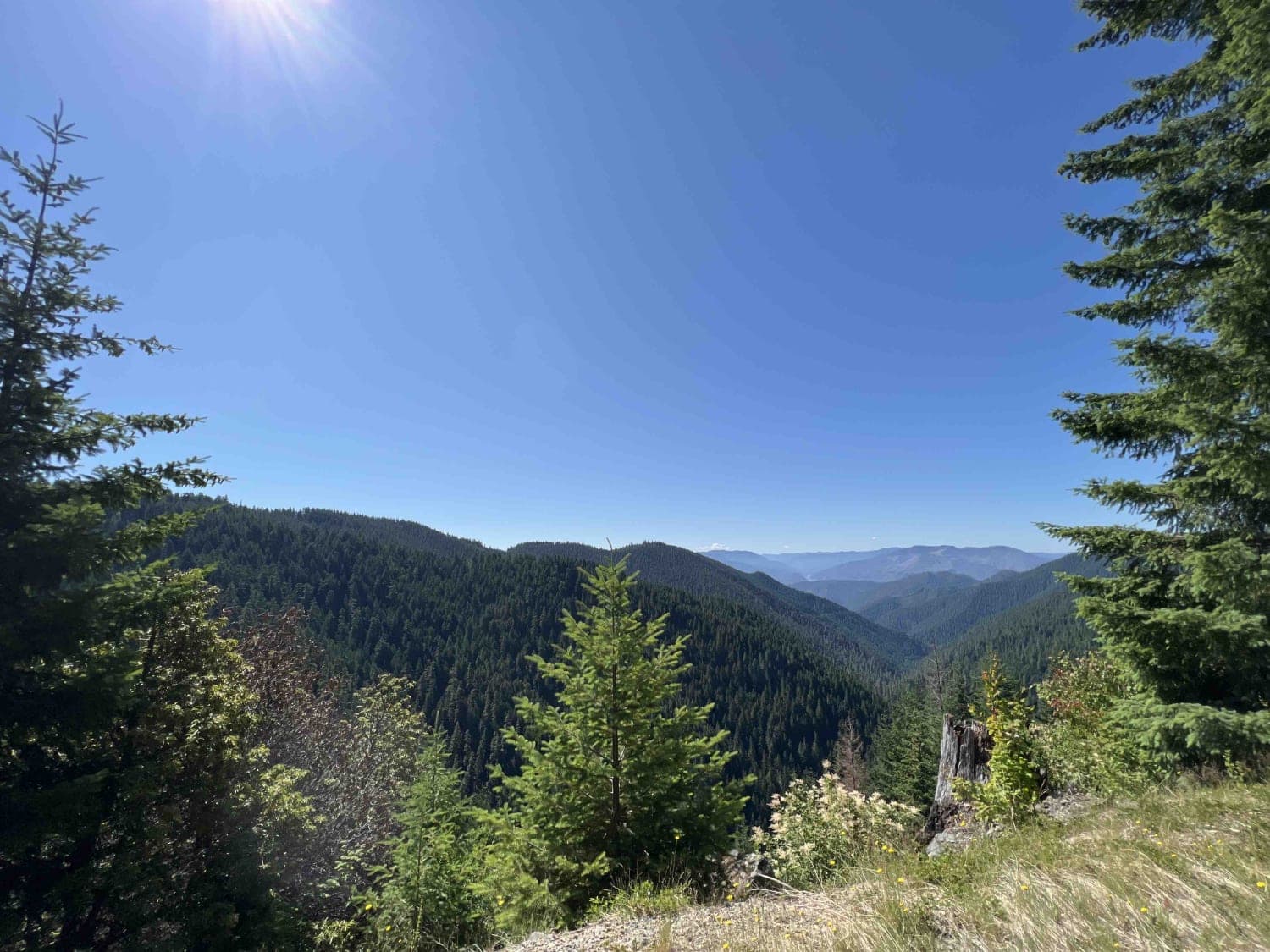
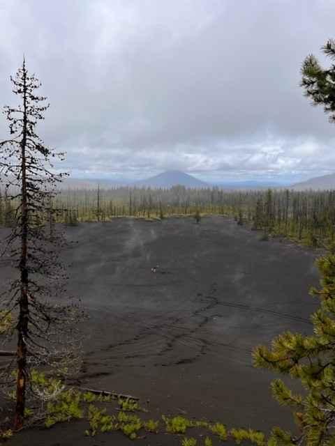
Trail Overview
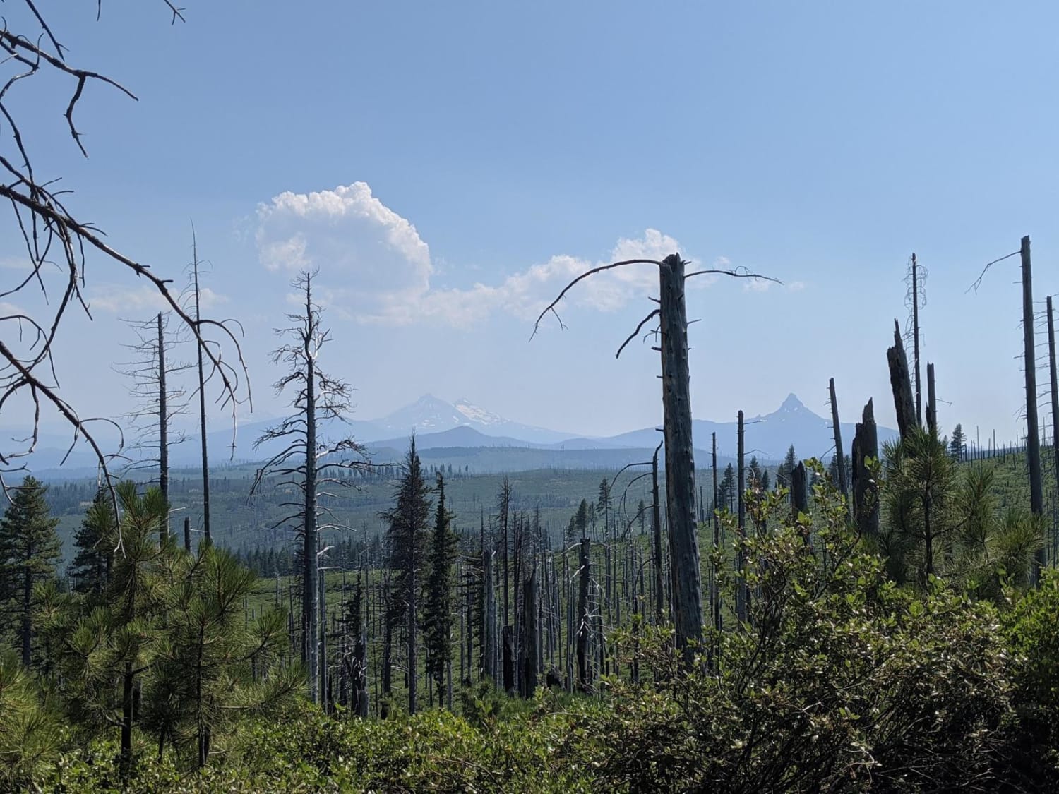
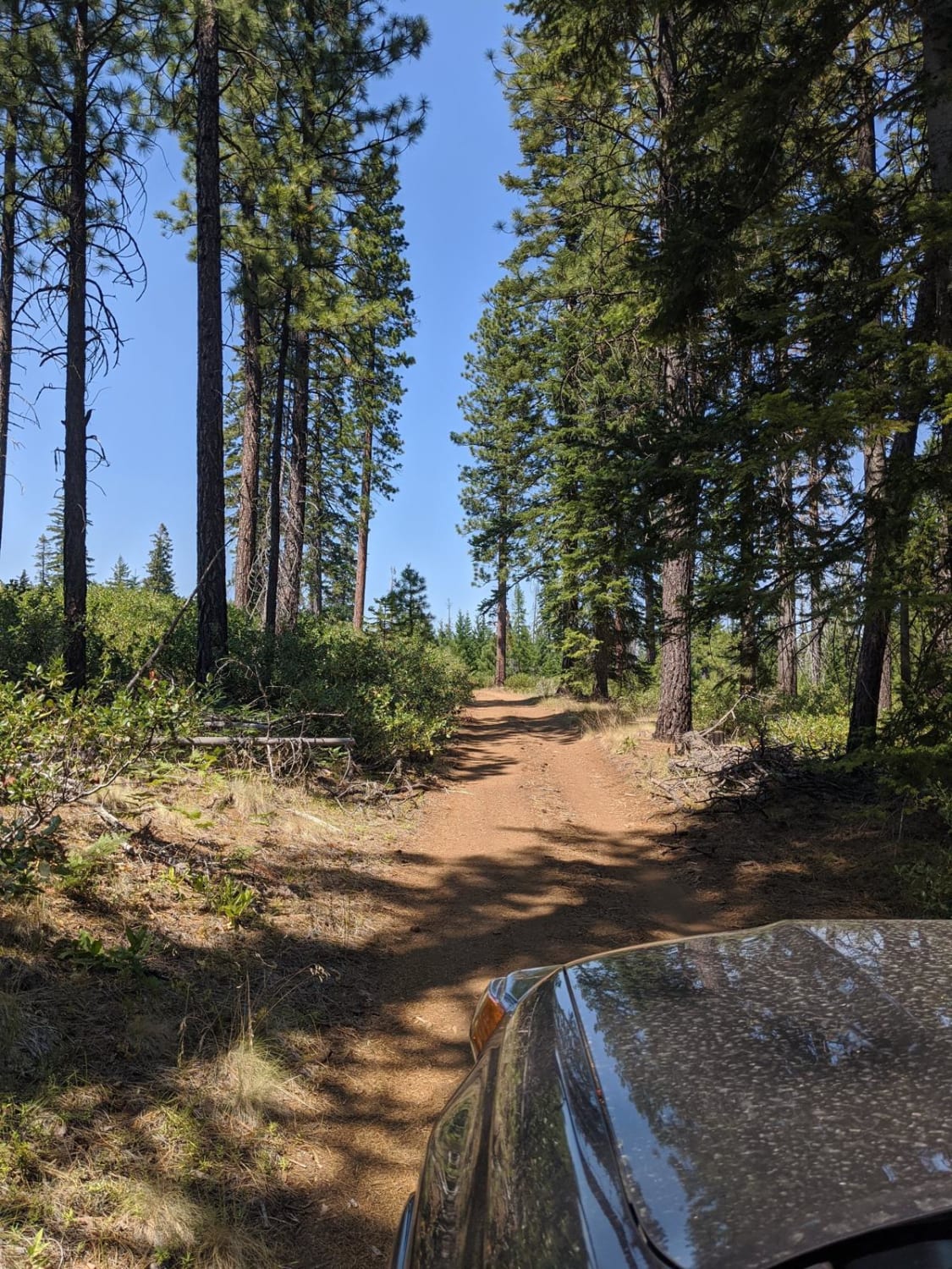
These are fun, wide and remote trails from Metolius river to Three Finger Jack area.
Photos of River to Sky
Difficulty
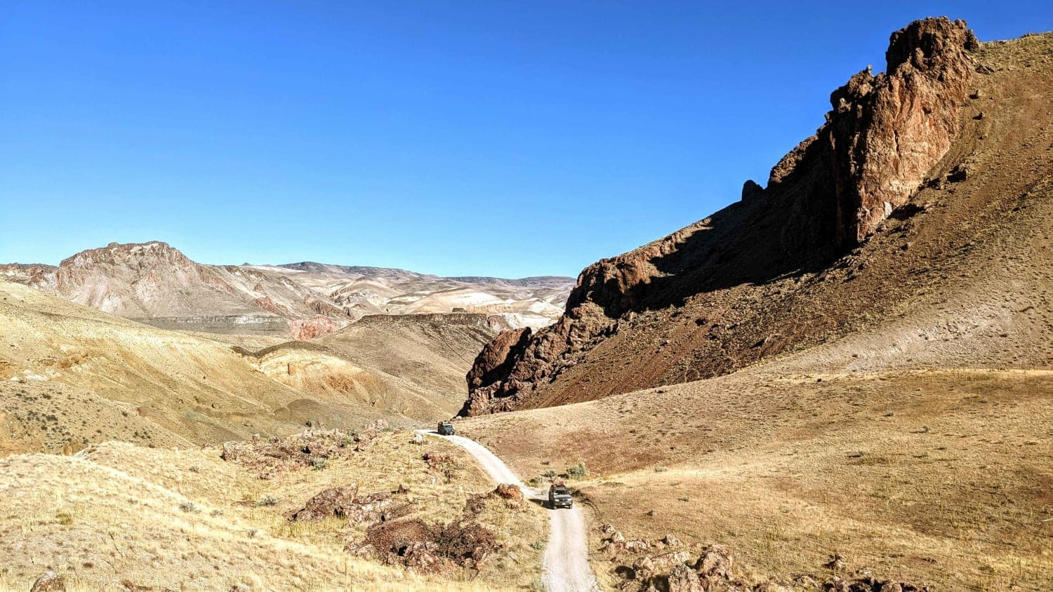
Most of the trail is easy. There are some long sections of washbaord near the top that are pretty rough. There are also some areas of loose sand and ruts. Large muddy puddles may be present in spring.
Status Reports
River to Sky can be accessed by the following ride types:
- High-Clearance 4x4
- SUV
- SxS (60")
- ATV (50")
- Dirt Bike
River to Sky Map
Popular Trails
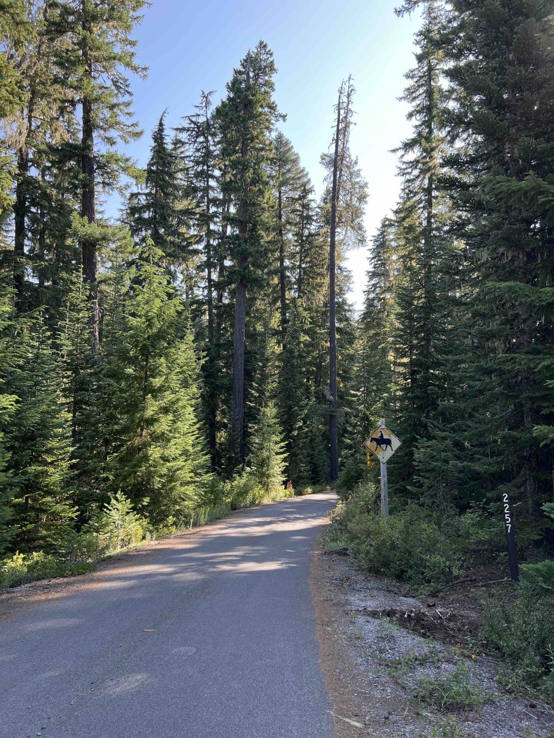
Horn Creek 2257
Bear Pass 1509
High Lakes to North Blowout Shelter
The onX Offroad Difference
onX Offroad combines trail photos, descriptions, difficulty ratings, width restrictions, seasonality, and more in a user-friendly interface. Available on all devices, with offline access and full compatibility with CarPlay and Android Auto. Discover what you’re missing today!