Rogers #36
Total Miles
1.1
Technical Rating
Best Time
Spring, Fall
Trail Type
Single Track
Accessible By
Trail Overview
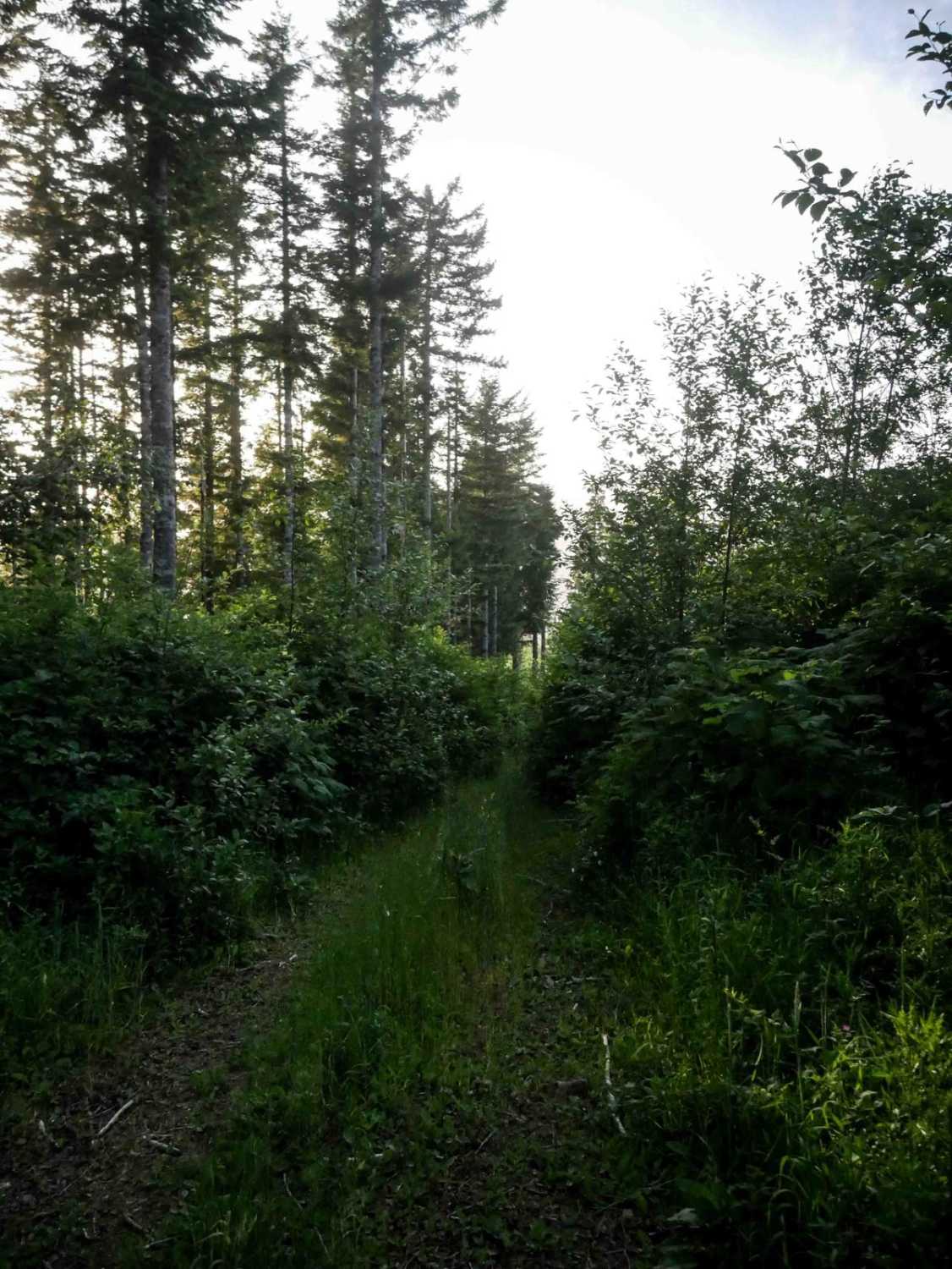
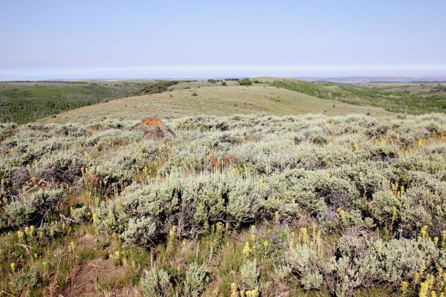
Rogers is an advanced directional singletrack from south to north, primarily due to its route-finding difficulty and extreme overgrowth. The entrance is nearly invisible, tucked into a wide grassy corridor with no signage, and quickly drops into a dense, brushy forest. The trail is narrow, faint, and overrun by brambles and overhanging branches, reducing visibility to near zero in sections. Riders will encounter tight turns, shelfy side-hilling, and intermittent ruts and troughs, along with occasional dug-out root obstacles. This trail is ideal for experienced riders seeking a remote, technical, and navigation-heavy ride through the rugged backcountry of Tillamook. After losing nearly 800 feet in less than a mile, it pops out on a forest road that takes you back to the main entrance into the Jordan Creek OHV area.
Photos of Rogers #36

Difficulty
This is an advanced trail due to its faint, overgrown nature, poor visibility, and the technical navigation required throughout.
Status Reports
Rogers #36 can be accessed by the following ride types:
- Dirt Bike
Rogers #36 Map
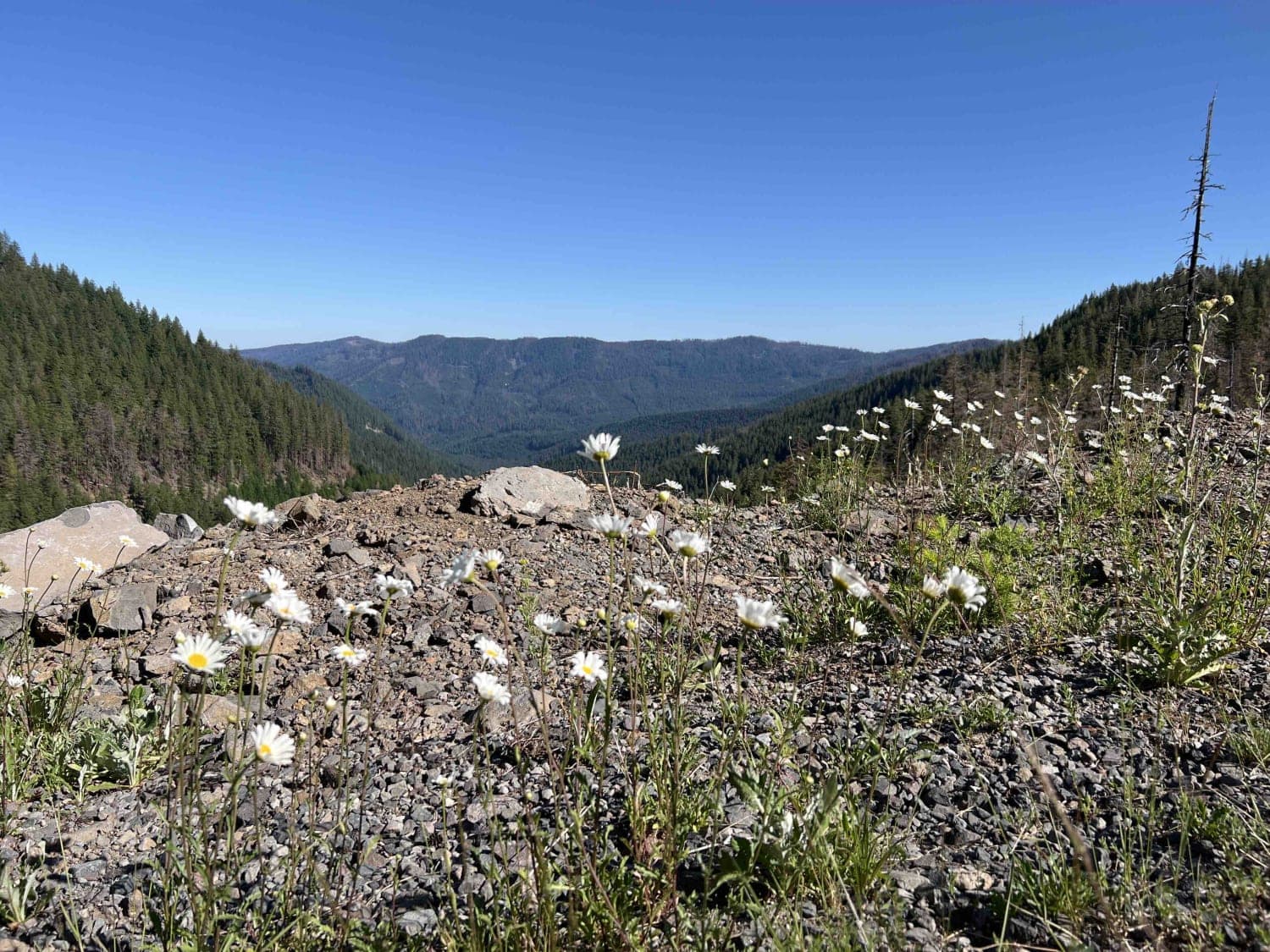
Popular Trails
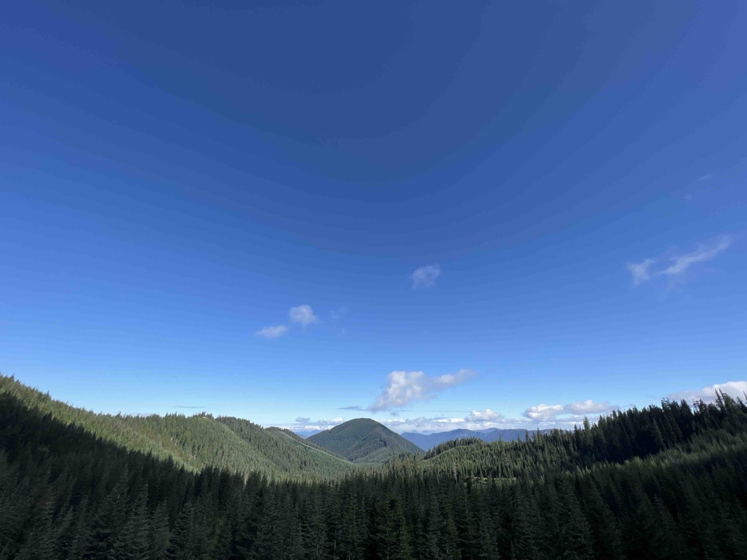
Wolf Mountain 2316
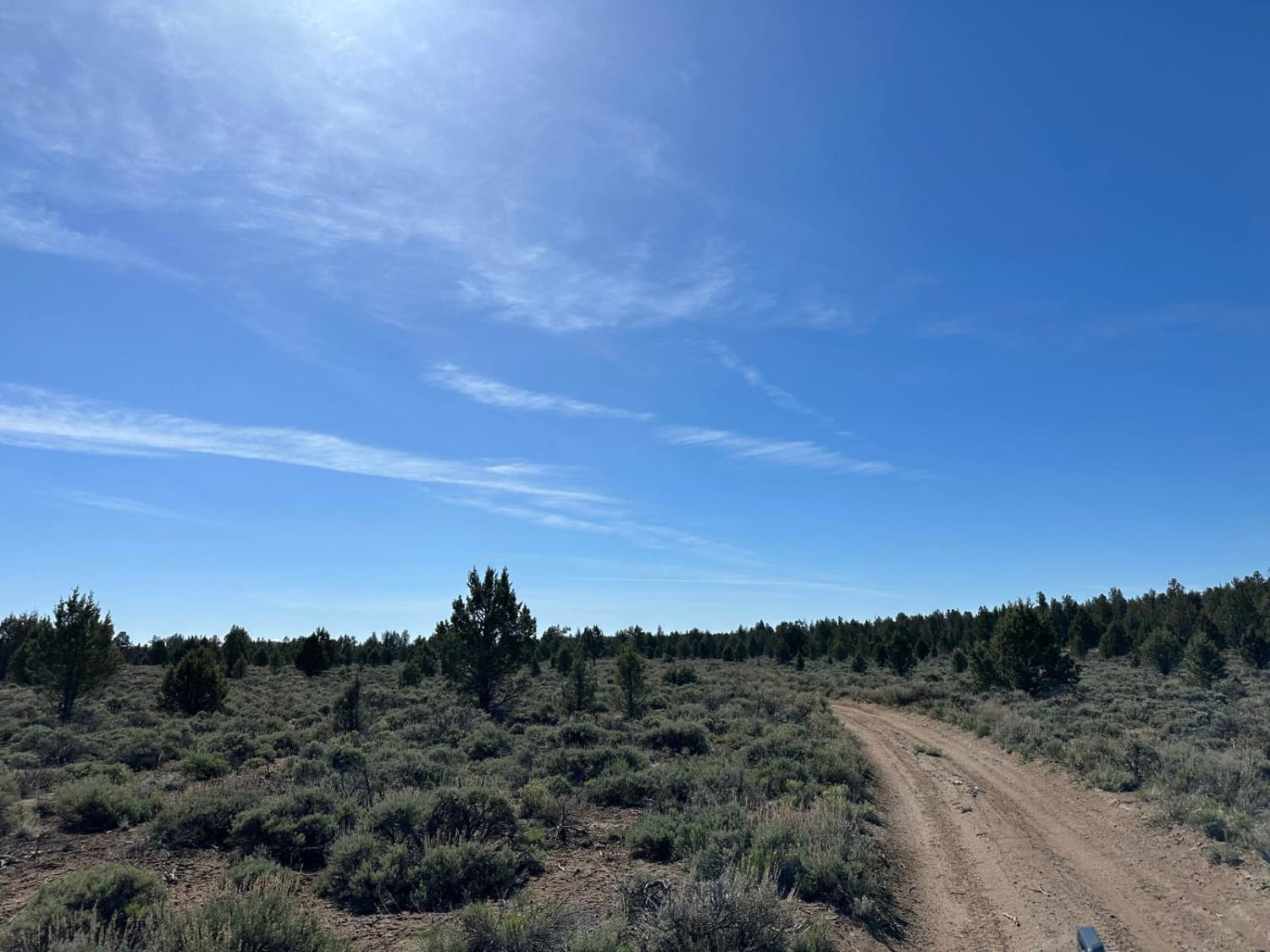
Cline Butte Meadow
Spirit Lake - FR 2422
Fish Creek Gorge Overlook
The onX Offroad Difference
onX Offroad combines trail photos, descriptions, difficulty ratings, width restrictions, seasonality, and more in a user-friendly interface. Available on all devices, with offline access and full compatibility with CarPlay and Android Auto. Discover what you’re missing today!