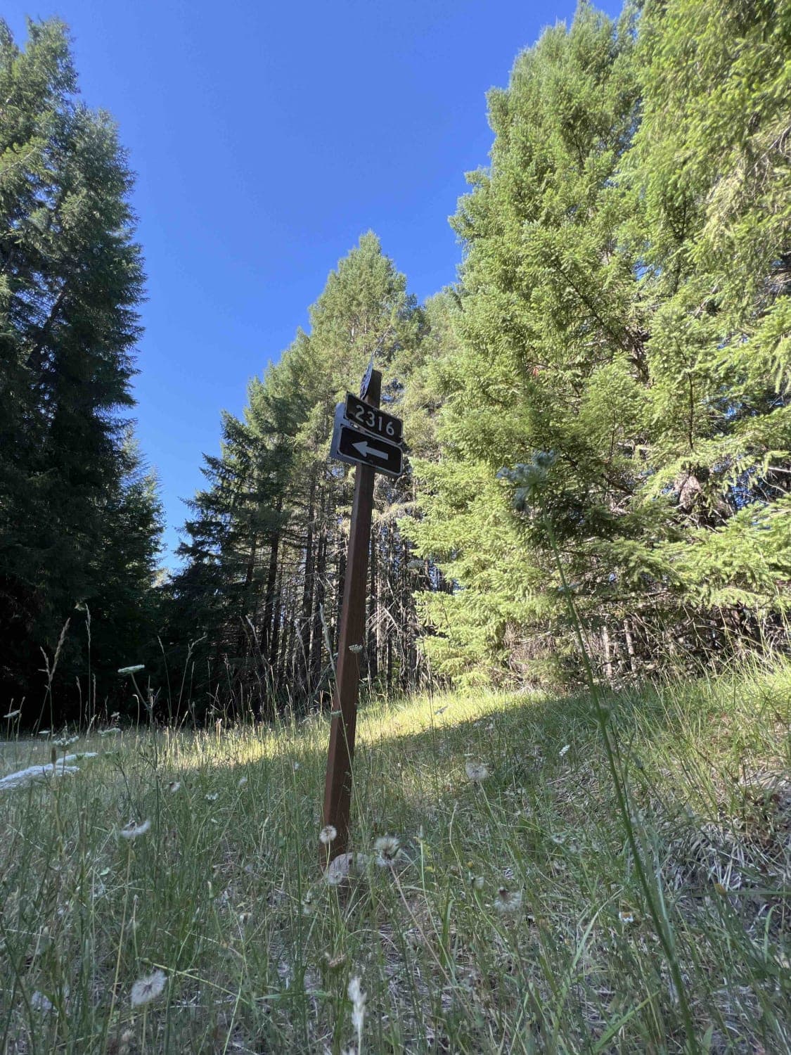
Wolf Mountain 2316
Total Miles
13.7
Technical Rating
Best Time
Spring, Summer, Fall
Trail Type
High-Clearance 4x4 Trail
Accessible By
Trail Overview
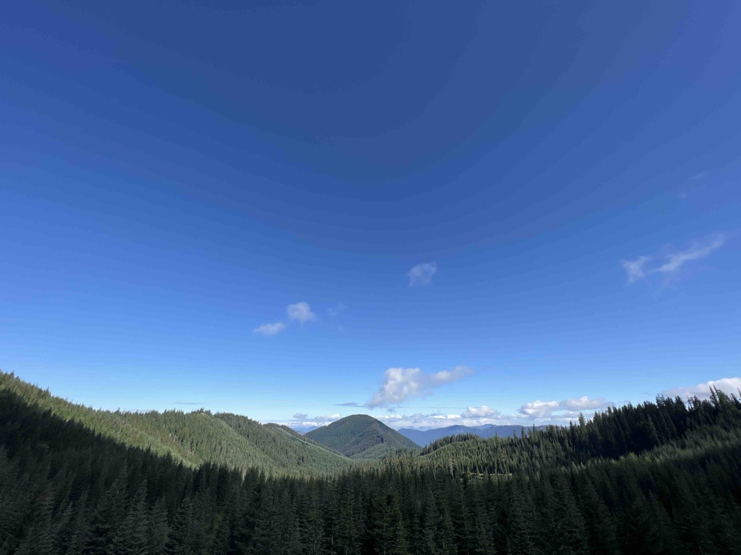
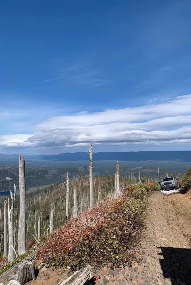
Wolf Mountain 2316 is a 13.8-mile route in the 1.7 million-acre Willamette National Forest located in Oregon's Cascade Mountain Range. Elevations range from 1,500 feet up to 10,000 feet at the tip of Mount Jefferson. Rich history runs through this area as early explorers scouted ways to navigate this steep terrain to bring settlers and wagons over the passes. As you embark along this route, it's still very primitive with boulders, overhanging trees, fallen trees, landslides, rockslides, flash floods, and waterfalls that flow over the road. Colorful scenic views of Cougar Mountain, Pinto Mountain, and Diamond Peak are around every corner. Douglas-fir and pine trees line these dusty gravel roads. Blue-grouse, black-tailed deer, black bear, northern spotted owl and chipmunk are some of the 300 species of wildlife that are seen in this region. The weather in the spring can bring rain and cold weather with summer bringing cool nights and warm days. Wolf Mountain sits at an elevation of 6,480 feet and can be accessed by service road 2316526, and the Pinto Mountain Trailhead can be accessed by taking service road 2316510. Dispersed camping is found all along this route but is primitive with no running water or restrooms. Willamette National Forest posts signs asking you to pack it in and pack it out along with tread lightly principles to protect habitats in this area. Northwest Forest Recreation passes are required at all trailheads and can be purchased online or by phone. Roads are closed by gate during the winter months due to heavy snowfall and rain.
Photos of Wolf Mountain 2316
Difficulty
This road is very treacherous due to sheer vertical cliffs, narrow roads, boulders, overhanging trees, fallen trees, landslides, rockslides, flash floods, pin striping, and waterfalls that flow over the road.
Status Reports
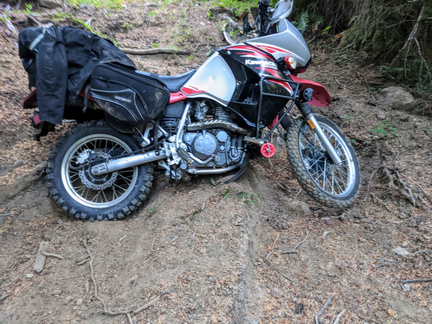
Wolf Mountain 2316 can be accessed by the following ride types:
- High-Clearance 4x4
- SxS (60")
- ATV (50")
- Dirt Bike
Wolf Mountain 2316 Map
Popular Trails

Dead Horse Revenge

The onX Offroad Difference
onX Offroad combines trail photos, descriptions, difficulty ratings, width restrictions, seasonality, and more in a user-friendly interface. Available on all devices, with offline access and full compatibility with CarPlay and Android Auto. Discover what you’re missing today!