Muesial Creek Road
Total Miles
4.5
Technical Rating
Best Time
Spring, Summer, Fall
Trail Type
Full-Width Road
Accessible By
Trail Overview
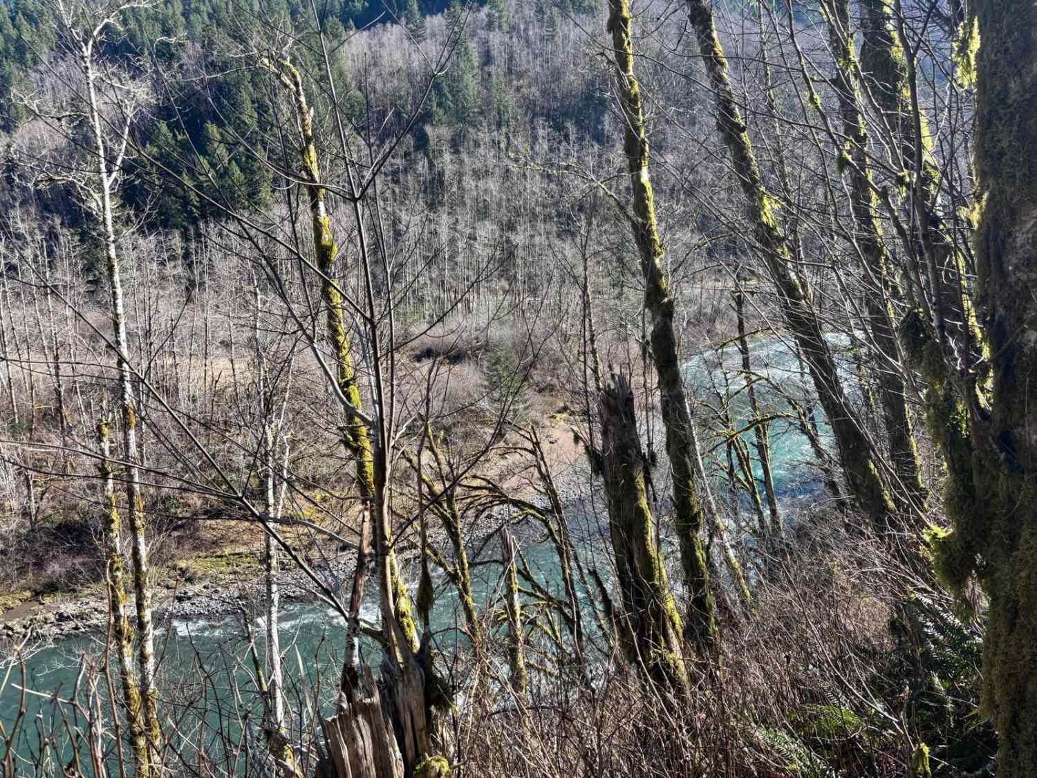
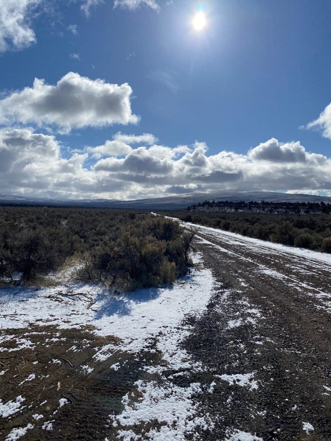
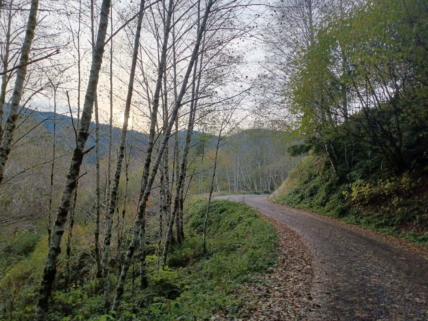
Start by turning off Highway 6 onto Cedar Butte Road, then take a left onto Wolf Creek Road, which eventually becomes Muesial Creek Road. You can also reach the opposite end of Muesial Creek Road by heading about 2 miles up Cedar Butte Road. Stretching roughly 4 miles, Muesial Creek Road crosses paths with Kilchis Lookout Road, which leads farther north into the Tillamook Forest. The route traces alongside Muesial Creek before climbing to meet Cedar Butte Road again. Along the way, you'll pass through a blend of forest and clear-cut areas. Muesial Creek Road is a standard logging road for the region--mostly smooth gravel with a series of switchbacks.
Photos of Muesial Creek Road

Difficulty
Muesial Creek Road is a typical logging road in the area, relatively smooth gravel with many switchbacks.
Status Reports
Muesial Creek Road can be accessed by the following ride types:
- High-Clearance 4x4
- SUV
Muesial Creek Road Map
Popular Trails


Hole In The Ground
Cinder Butte Viewpoint
The onX Offroad Difference
onX Offroad combines trail photos, descriptions, difficulty ratings, width restrictions, seasonality, and more in a user-friendly interface. Available on all devices, with offline access and full compatibility with CarPlay and Android Auto. Discover what you’re missing today!