Karth Road
Total Miles
4.1
Technical Rating
Best Time
Spring, Summer, Fall, Winter
Trail Type
Full-Width Road
Accessible By
Trail Overview
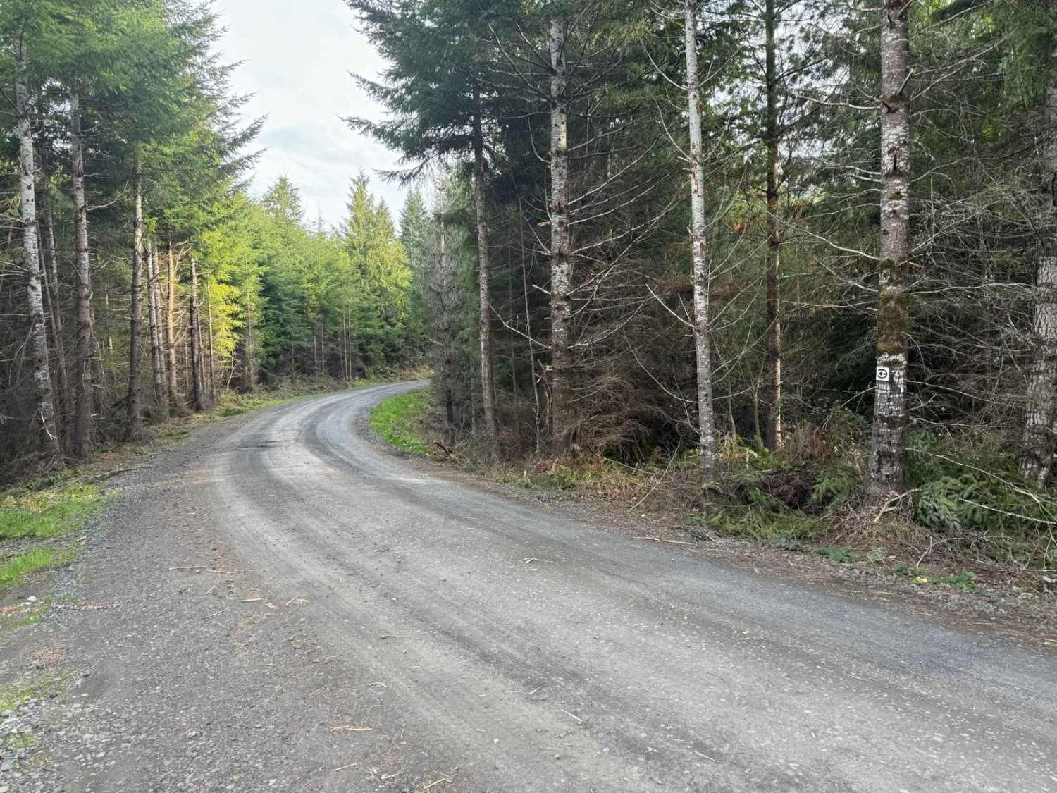
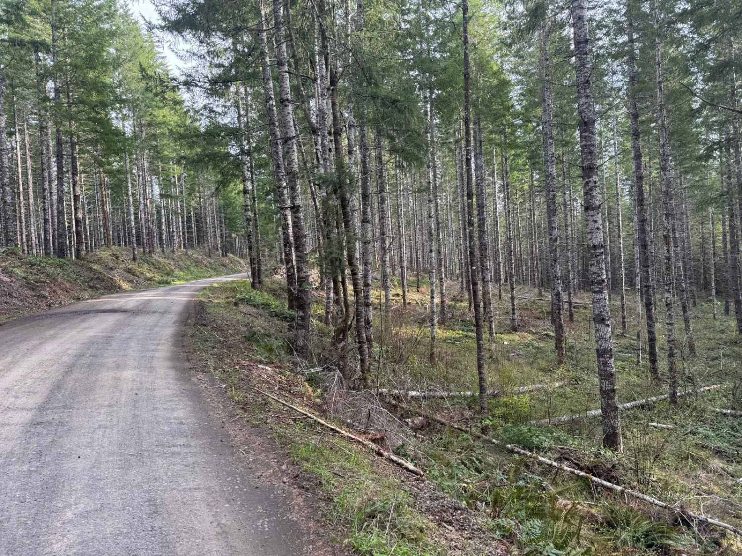
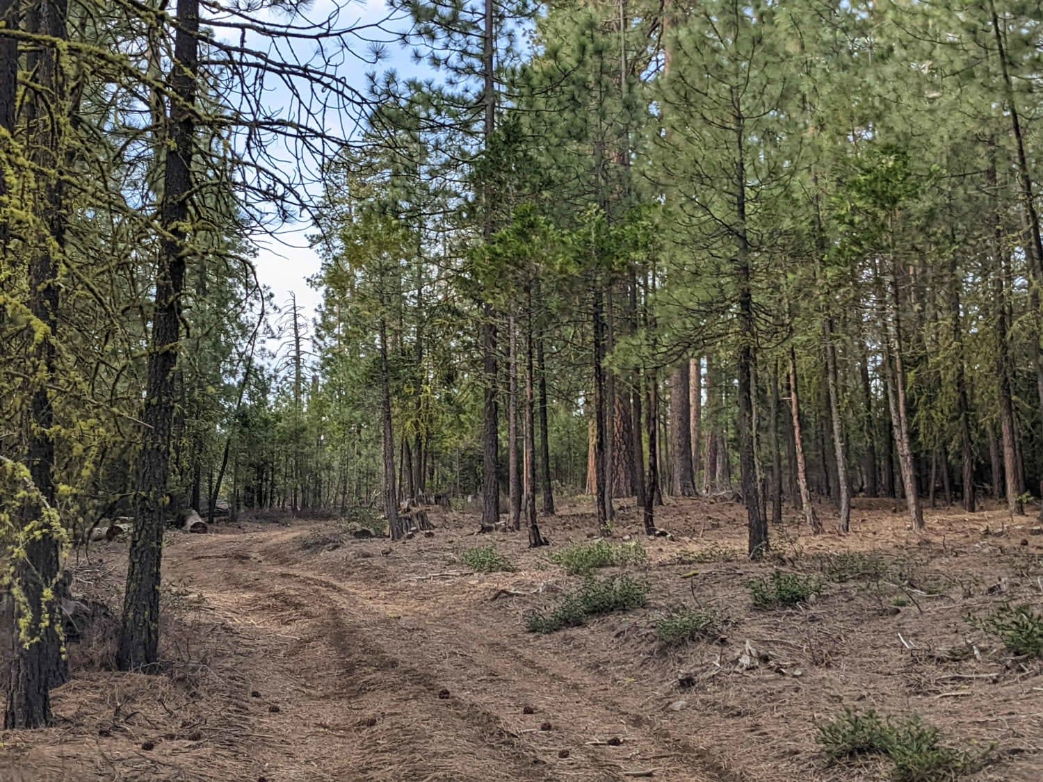
This forest road connects Apiary Road with Pittsburg Road and is relatively level. It is, however, a typical logging road with potholes, washboard, and the occasional windfall tree in the way. This route begins on Apiary Road adjacent to the Columbia County Park Camp Wilkerson. There's nothing extraordinary about this route except it provides access to a portion of Oregon State Forest that is not well known or heavily traveled.
Photos of Karth Road
Difficulty
As with most forest roads, be sure to keep right as you encounter blind curves and be prepared for oncoming traffic.
Status Reports
Karth Road can be accessed by the following ride types:
- High-Clearance 4x4
- SUV
- SxS (60")
- ATV (50")
- Dirt Bike
Karth Road Map
Popular Trails
Butler Creek Mainline

Marble Creek Pass
The onX Offroad Difference
onX Offroad combines trail photos, descriptions, difficulty ratings, width restrictions, seasonality, and more in a user-friendly interface. Available on all devices, with offline access and full compatibility with CarPlay and Android Auto. Discover what you’re missing today!
