Wickiup Butte Trail
Total Miles
2.9
Technical Rating
Best Time
Spring, Summer, Fall
Trail Type
High-Clearance 4x4 Trail
Accessible By
Trail Overview
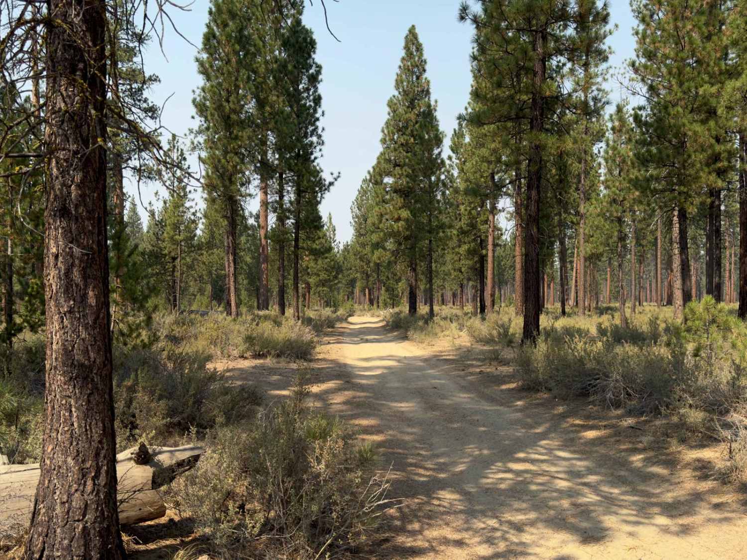
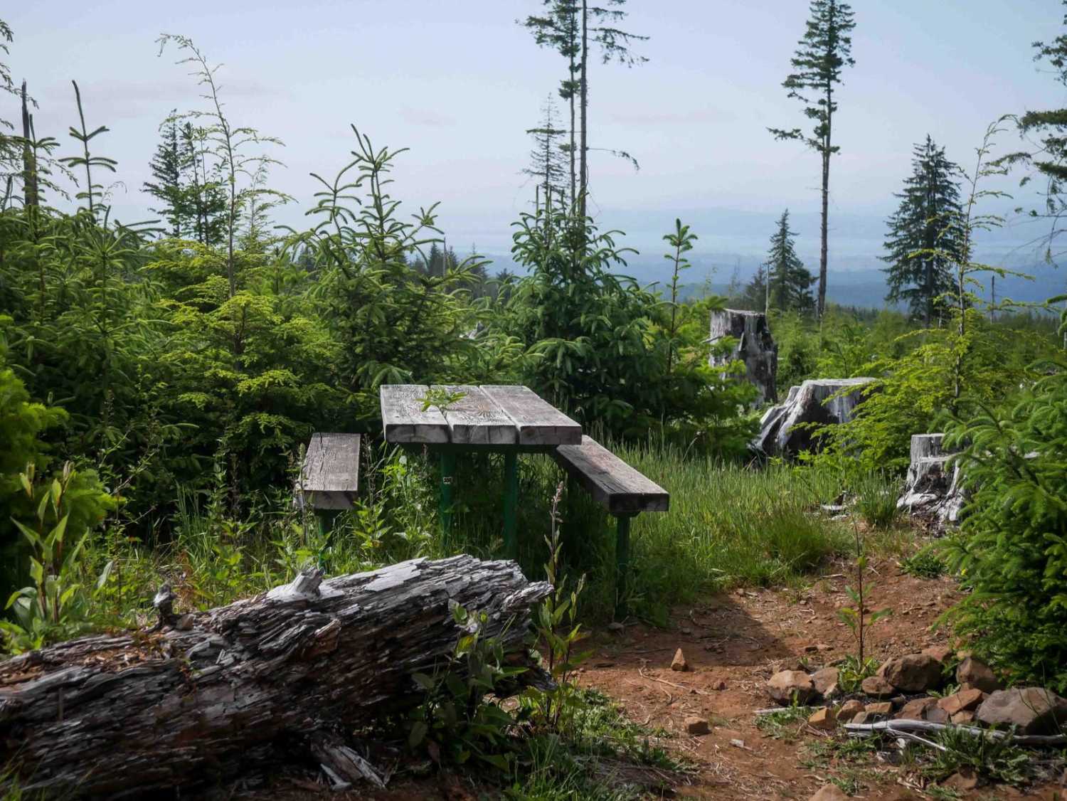
The trail to Wickiup Butte starts with washboard roads, so you might as well air down from the start. Once you are on the dirt it is a pretty mellow somewhat up-and-down forest road that will lead you to the summit base. If you have been lulled into a passive mood, the beginning of the summit will continue this attitude. The deception will quickly be realized as the incline and terrain become hostile. Speed and aggression are the best ways to handle this opposition, as it is short-lived but definitely challenging. Four-wheel low and rear axle lockers are your best allies as you conquer this summit. It flattens out to a lookout point on the left side of the false summit. A small trail leads forward to the actual peak. It is at the summit you will see a lone tree holding its ground in the center of a small turnaround. You have arrived. Add another notch to your conquest belt, the top of Wickiup Butte, set up camp, and enjoy the sunrise. Push Forward.
Photos of Wickiup Butte Trail
Difficulty
The last quarter mile is a rocky, uneven, steep incline, with numerous rock outcroppings.
History
Wickiup Butte is a 4,879 ft peak.
Status Reports
Wickiup Butte Trail can be accessed by the following ride types:
- High-Clearance 4x4
- SxS (60")
- ATV (50")
Wickiup Butte Trail Map
Popular Trails
Long Green Mountain Lookout Loop
Timpanogas 2154

Gray Butte Summit
The onX Offroad Difference
onX Offroad combines trail photos, descriptions, difficulty ratings, width restrictions, seasonality, and more in a user-friendly interface. Available on all devices, with offline access and full compatibility with CarPlay and Android Auto. Discover what you’re missing today!

