Thunder Mountain
Total Miles
9.9
Technical Rating
Best Time
Spring, Summer, Fall
Trail Type
Full-Width Road
Accessible By
Trail Overview
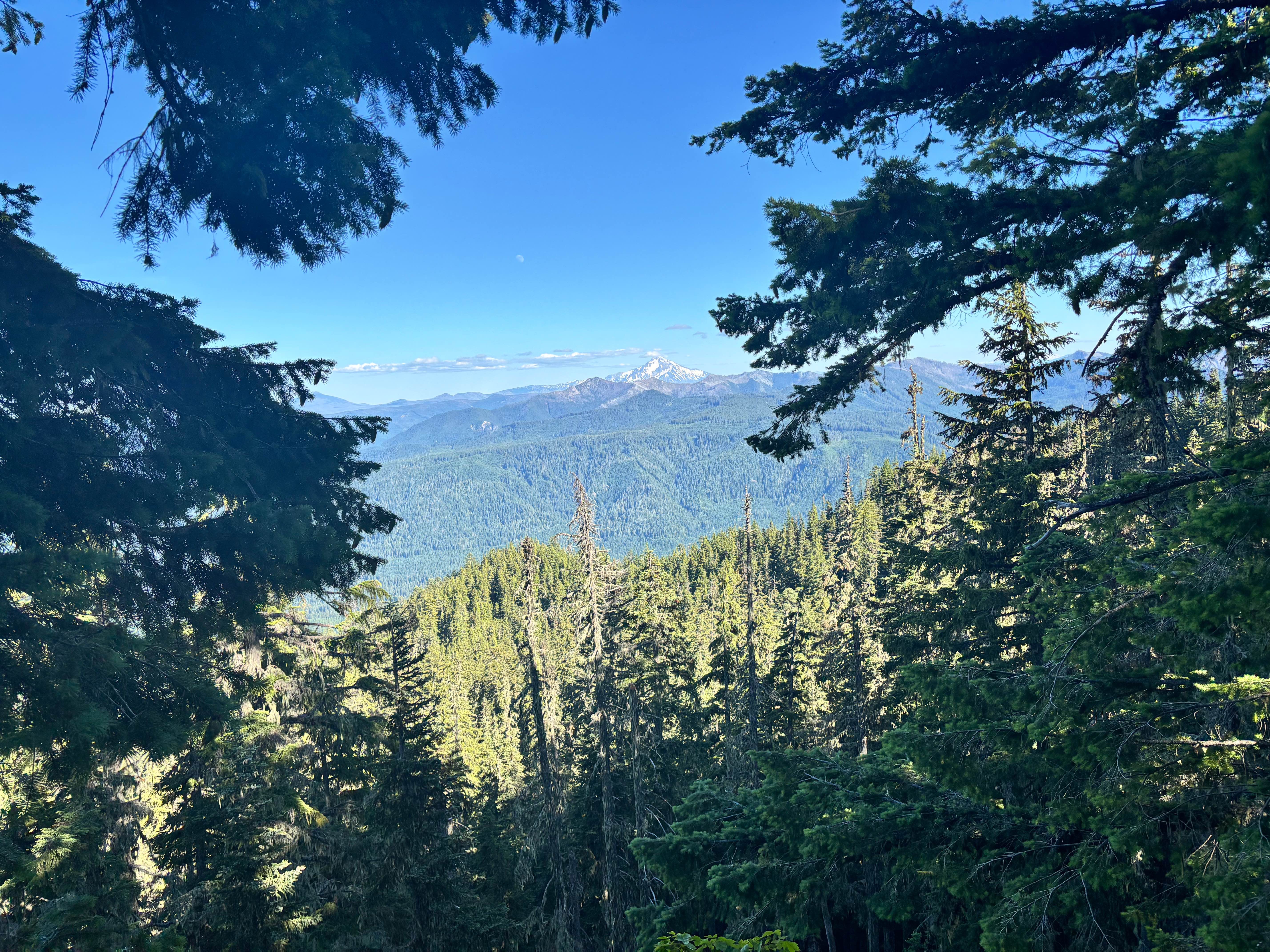
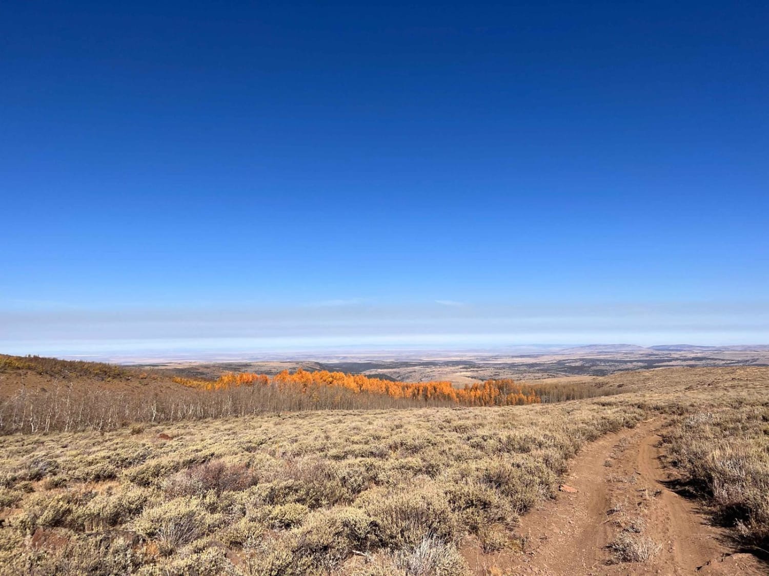
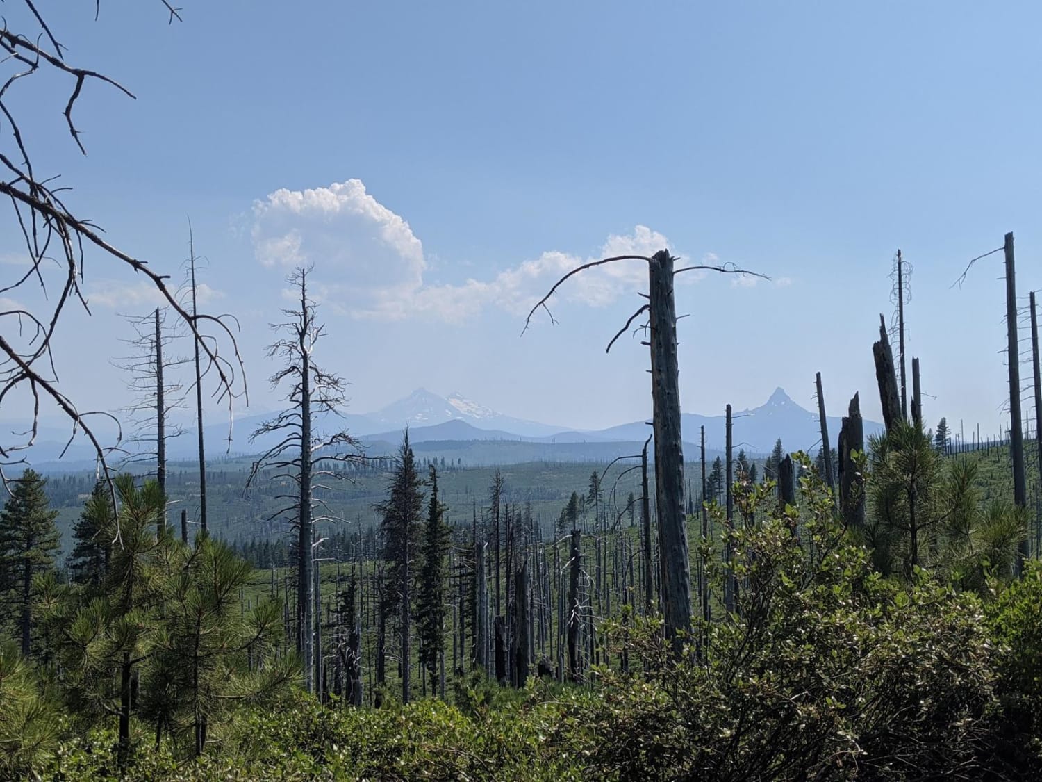
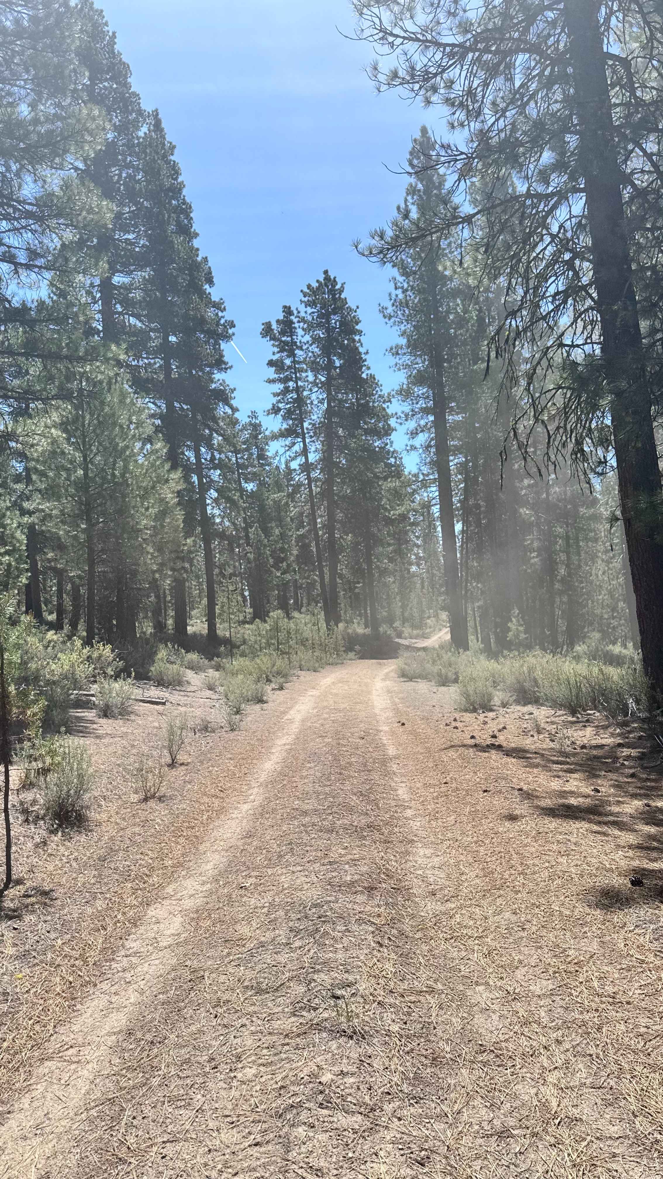
The Thunder Mountain Trail is actually a quiet forest road in the southern reaches of the Mount Hood National Forest, just north of Bagby Hot Springs. Much of the surrounding area still shows heavy damage from the 2020 Riverside Fire, and some connecting roads farther north remain closed. Begin on NF-6322 and follow it north, then west, until it joins NF-4620 (also called Sandstone Road). Turn west onto NF-4620 and enjoy increasingly open views of the Cascade peaks as you climb. About 8.8 miles from that junction, you'll reach the small Thunder Mountain Trailhead pullout on your left. Continue driving the same road (still NF-4620) as it gradually ascends to a broad, man-made plateau at the end. From there, expansive vistas open up across the burned and recovering forest, with Mount Jefferson rising prominently in the distance on clear days.
Photos of Thunder Mountain

Difficulty
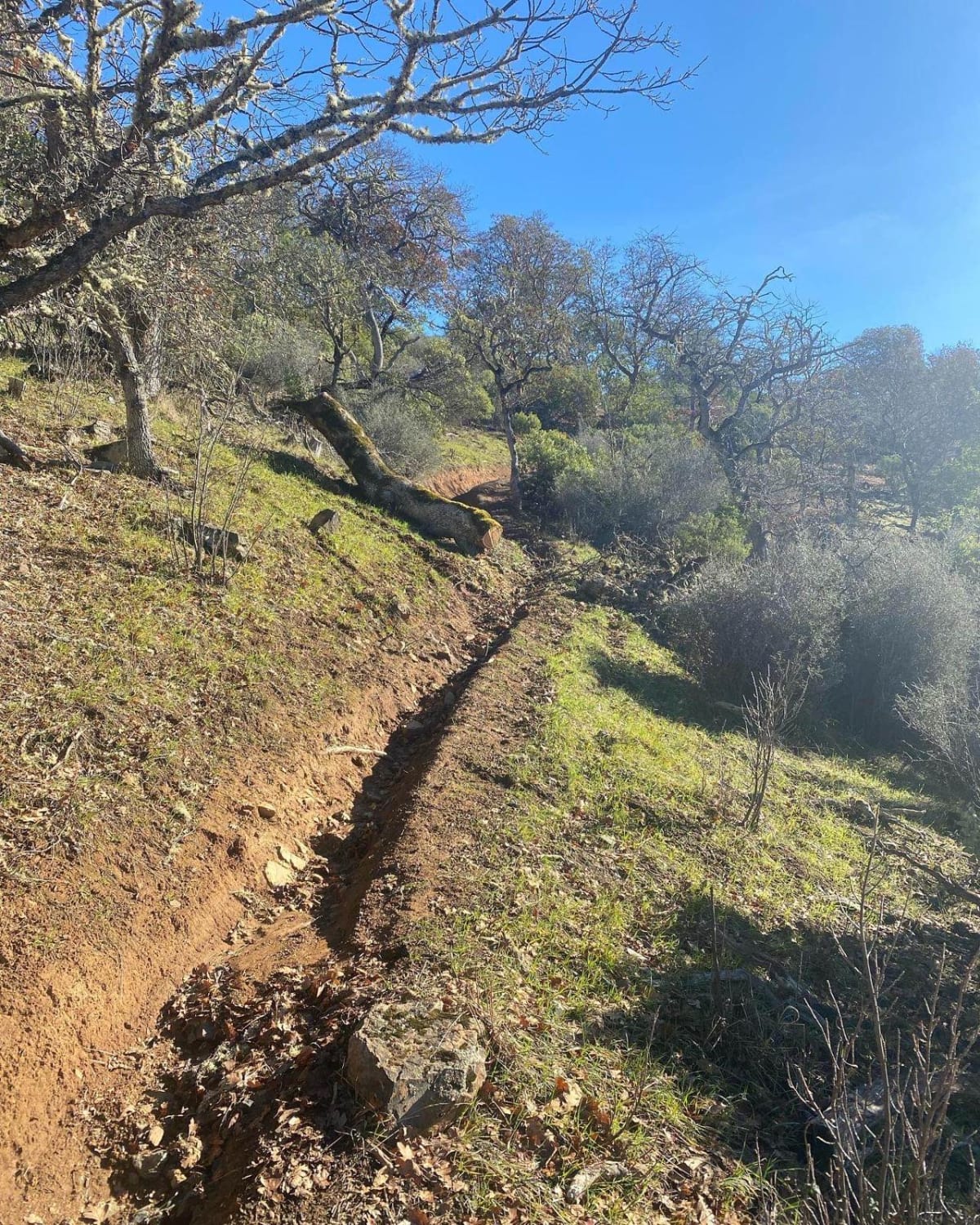
A relatively smooth forest road with minimal potholes.
Status Reports
Thunder Mountain can be accessed by the following ride types:
- High-Clearance 4x4
- SUV
Thunder Mountain Map
Popular Trails
Kiger's Rocky Ridge
Fugawe Loop
Dry Springs Trail - FS 4331000
The onX Offroad Difference
onX Offroad combines trail photos, descriptions, difficulty ratings, width restrictions, seasonality, and more in a user-friendly interface. Available on all devices, with offline access and full compatibility with CarPlay and Android Auto. Discover what you’re missing today!