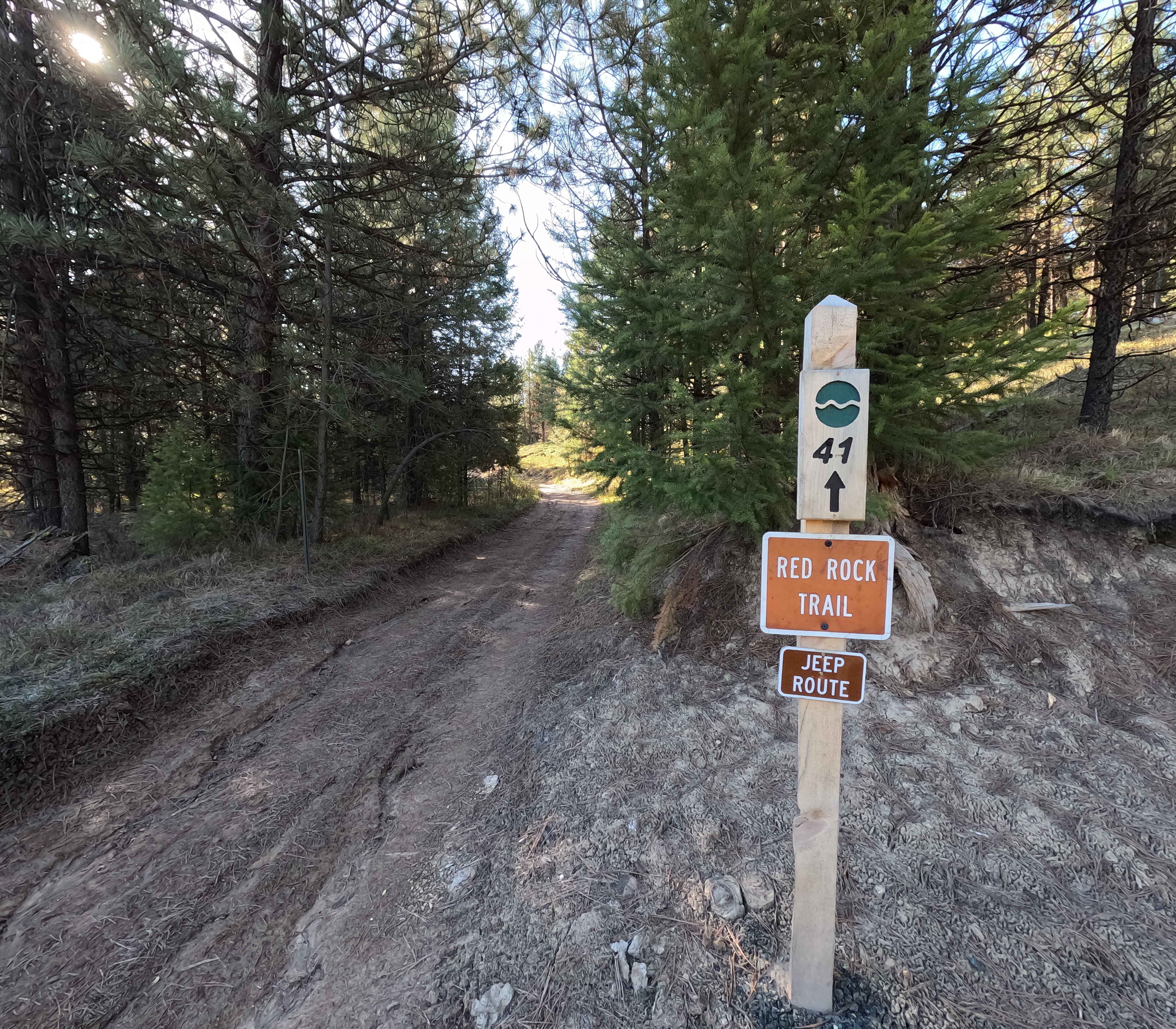
Red Rock Trail - 41
Total Miles
0.8
Technical Rating
Best Time
Spring, Summer, Fall
Trail Type
High-Clearance 4x4 Trail
Accessible By
Trail Overview
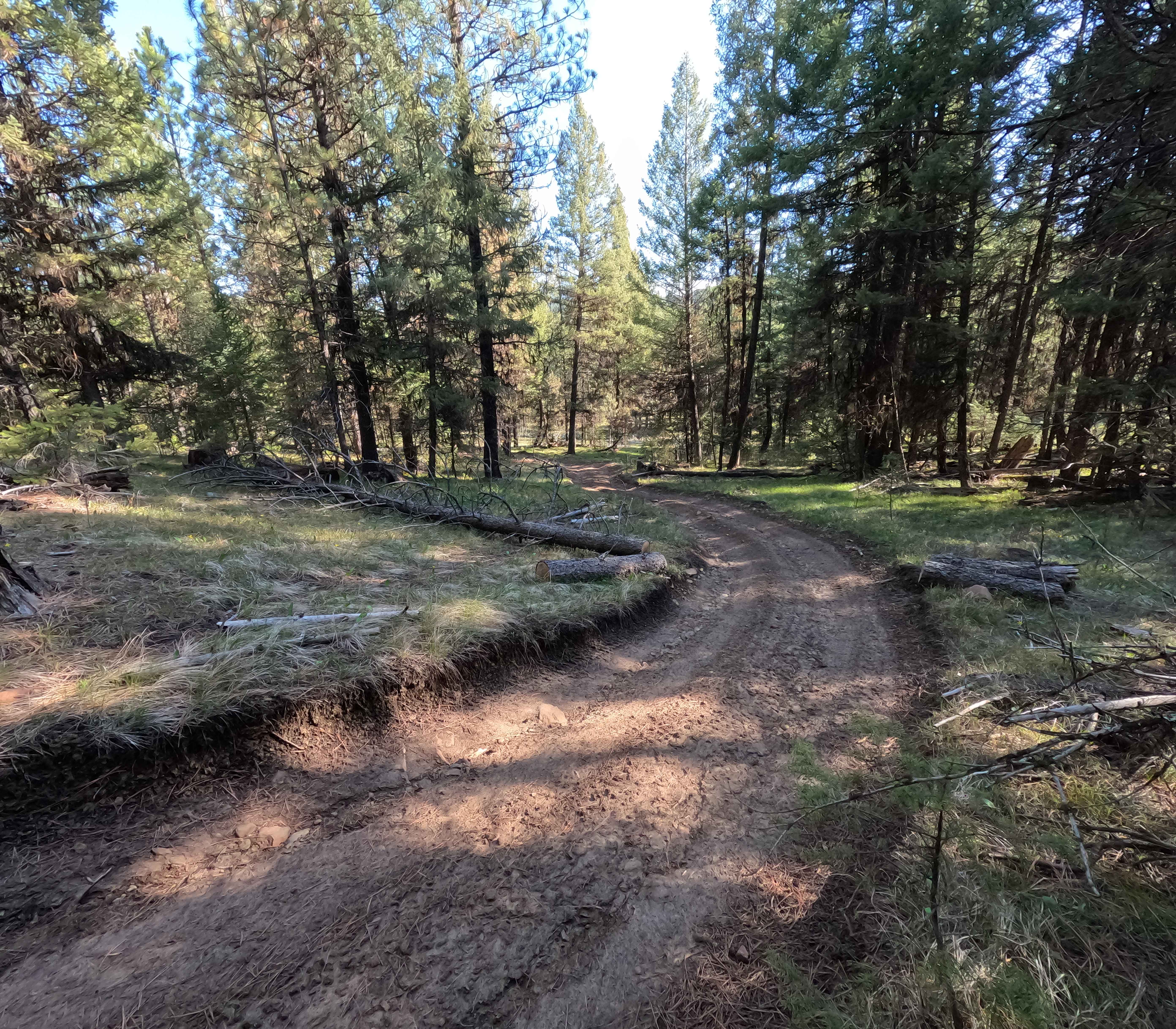
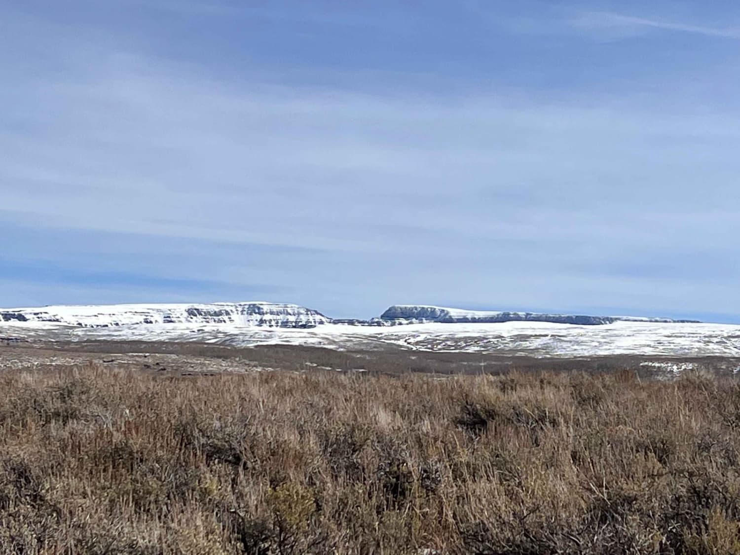
Trail 41 is a 0.8-mile point-to-point trail in the Morrow County OHV Park that connects Wilson Creek Road to Trail 40, before ending at an intersection with Trail 1. Starting from Wilson Creek Road, the trail is a narrow double track featuring a mix of embedded and loose rock before transitioning to a soft, muddy area near the intersection with Trail 40. Keeping to the right will lead to the intersection with Trail 1, with a steep descent just before reaching the junction. An Oregon State ATV operating permit is required for all vehicles inside the park.
Photos of Red Rock Trail - 41
Difficulty
Trail 41 is an easy-going connector with minimal technical challenge, with the primary obstacle being a short hill climb near the intersection with Trail 1. Weather conditions, such as rain or snow, may affect the difficulty. As with most trails in the area, bringing a chainsaw or other equipment to clear fallen trees is recommended.
Status Reports
Red Rock Trail - 41 can be accessed by the following ride types:
- High-Clearance 4x4
- SxS (60")
- ATV (50")
- Dirt Bike
Red Rock Trail - 41 Map
Popular Trails

Plympton Creek
Route 5506 - Siuslaw Natl Forest
Bohom - FS 1004155
The onX Offroad Difference
onX Offroad combines trail photos, descriptions, difficulty ratings, width restrictions, seasonality, and more in a user-friendly interface. Available on all devices, with offline access and full compatibility with CarPlay and Android Auto. Discover what you’re missing today!