Prairie Peak
Total Miles
2.4
Technical Rating
Best Time
Spring, Summer, Fall
Trail Type
Full-Width Road
Accessible By
Trail Overview
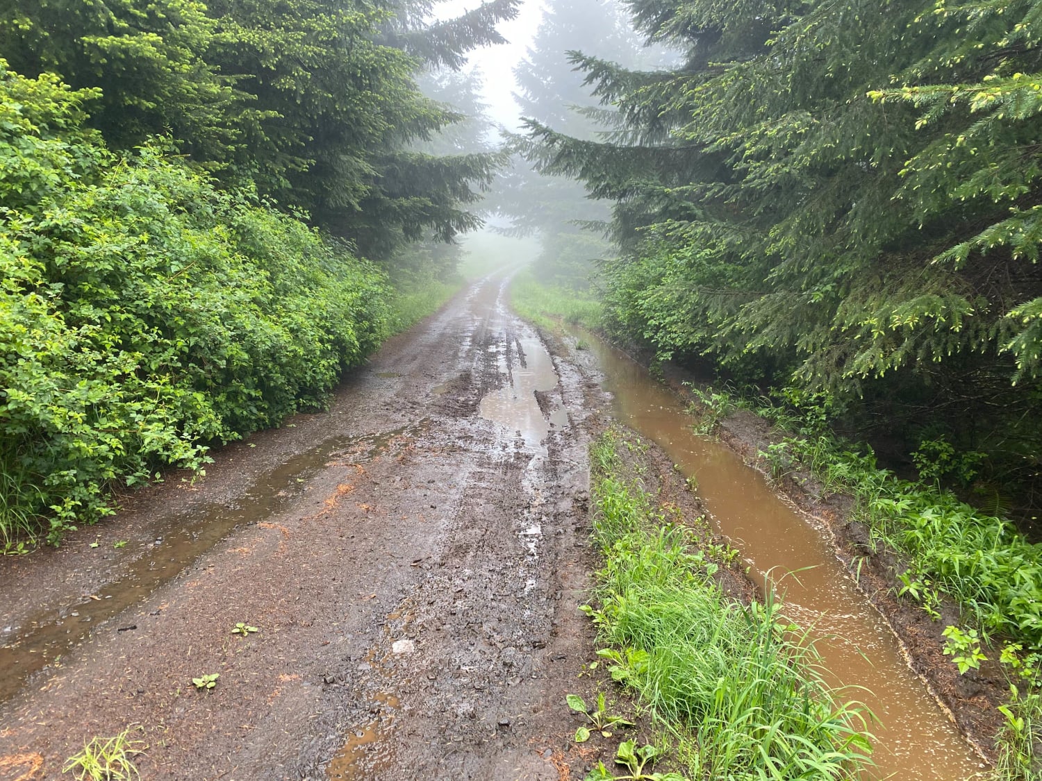
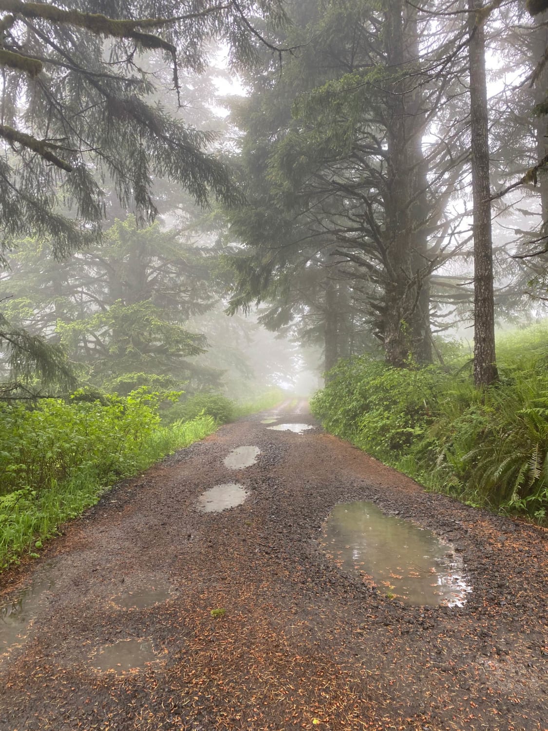
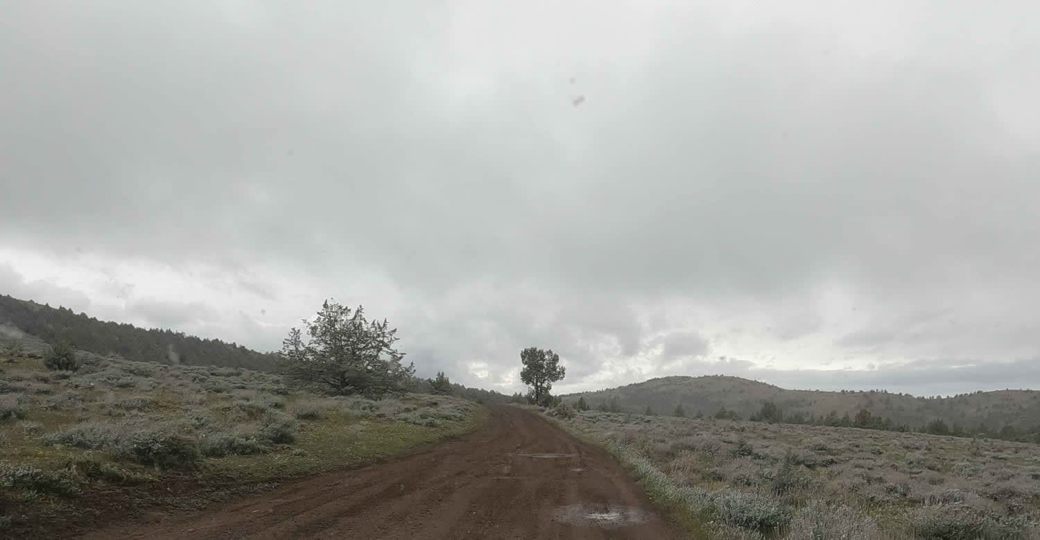
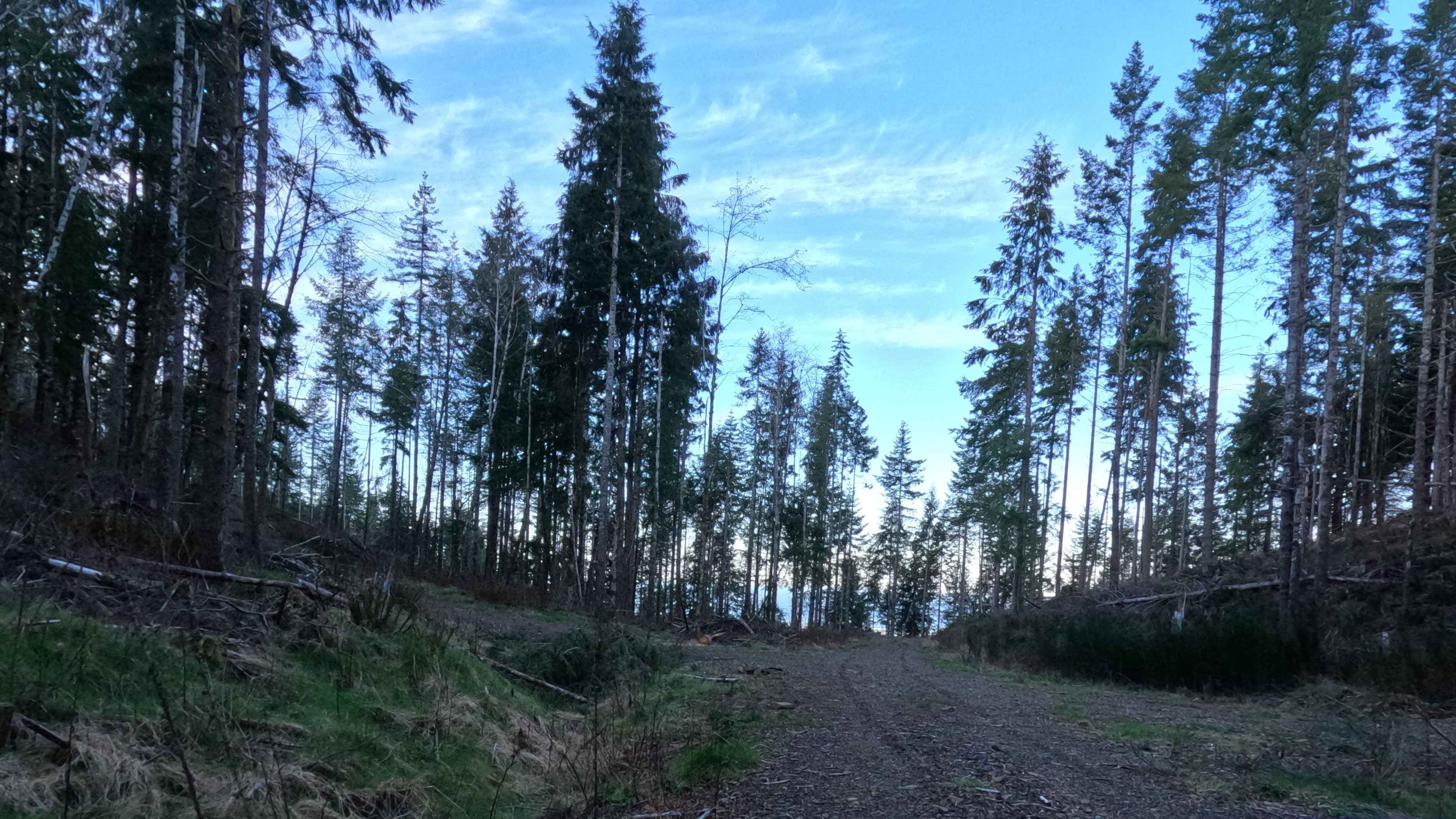
Prairie Peak is located on BLM land outside of Triangle Lake, Oregon. The area is a system of trails and dirt roads that wind their way up to a broadcast tower at the peak that can make for some easy riding and great scenic views. The trail leading up to the peak is a somewhat maintained dirt road with ruts up to 12 inches deep. When wet or raining the trail will retain a good amount of water within the ruts creating mud holes. High clearance and A/T or mud tires recommended. At certain points throughout the trail there are optional side trails with moderate inclines that connect the main trail. These can be tricky when wet. The majority of the trail is wide enough for two vehicles but tightens up to one at various points. At the base of the mountain there is the Hult reservoir and offers primitive camping/day use areas at the water's edge. Cell service is limited so I recommend downloading maps of the area or you can pick up a hand drawn map from the Horton Corner Market.
Photos of Prairie Peak
Difficulty
When wet or raining the trail retains a lot of water. This makes the ruts fill with water creating mud holes up to 12 inches deep as well as making the rest of the dirt road slick and muddy.
Status Reports
Prairie Peak can be accessed by the following ride types:
- High-Clearance 4x4
- SUV
- SxS (60")
- ATV (50")
- Dirt Bike
Prairie Peak Map
Popular Trails

Gray Butte - NF-5700
Bohom - FS 1004155

East Fort Rock OHV Trail 25
The onX Offroad Difference
onX Offroad combines trail photos, descriptions, difficulty ratings, width restrictions, seasonality, and more in a user-friendly interface. Available on all devices, with offline access and full compatibility with CarPlay and Android Auto. Discover what you’re missing today!