Skyline Road - FS 31
Total Miles
29.3
Technical Rating
Best Time
Spring, Summer, Fall
Trail Type
Full-Width Road
Accessible By
Trail Overview
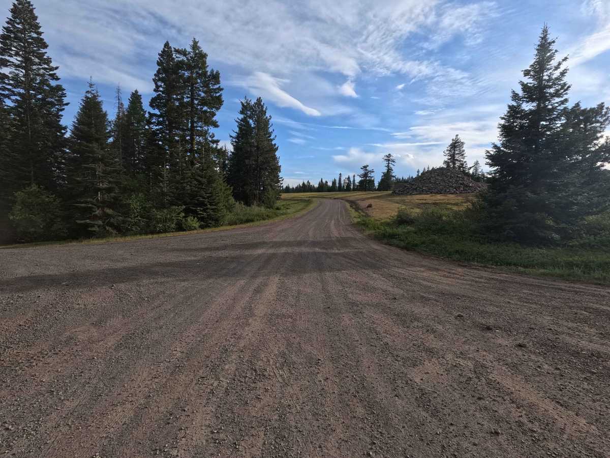
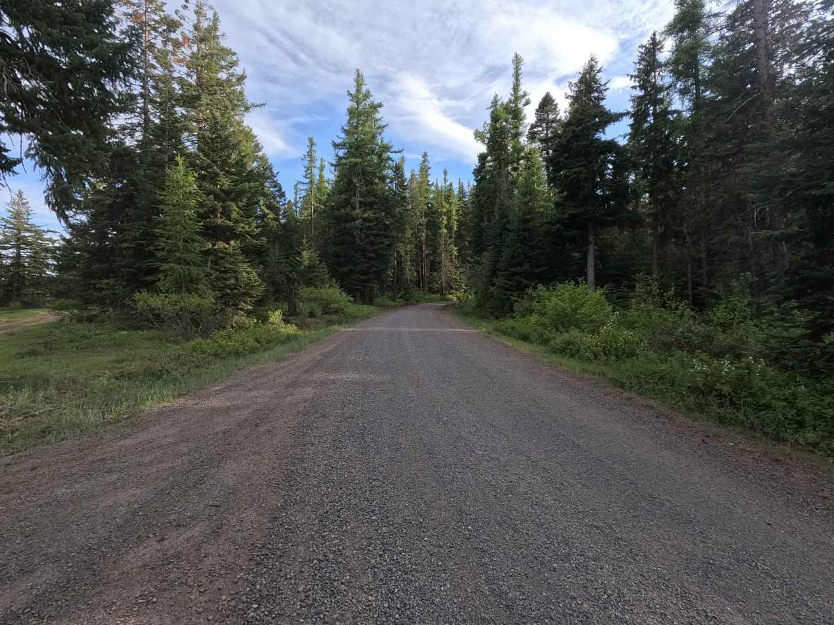
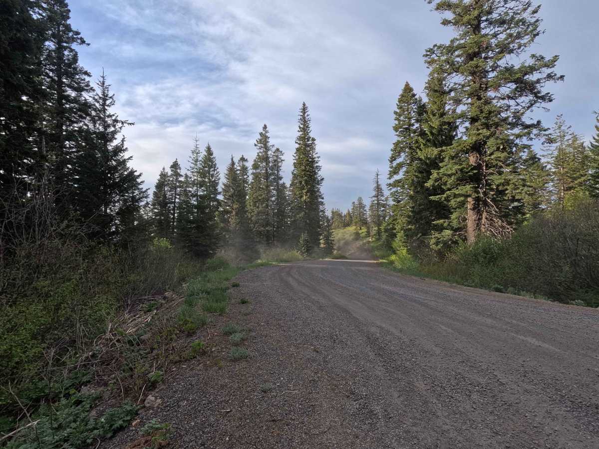
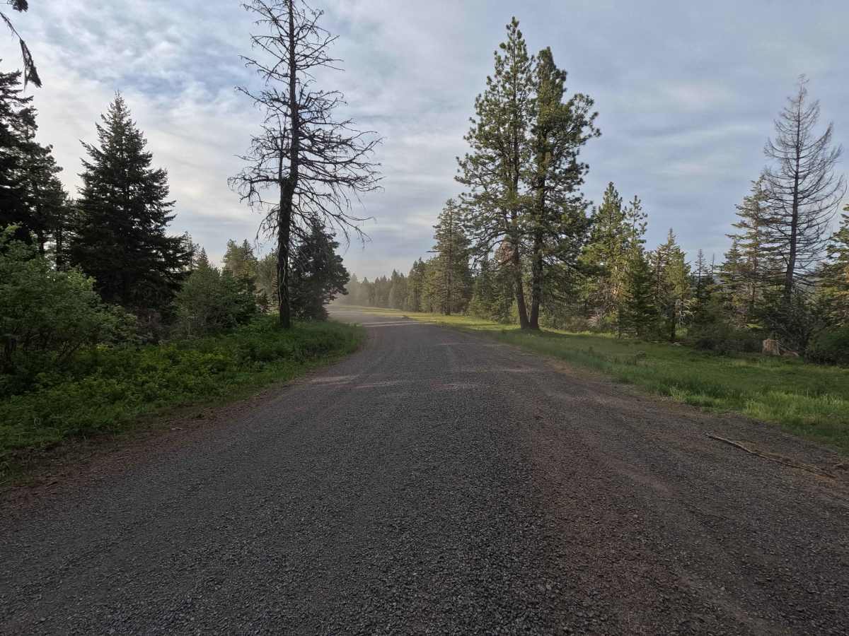
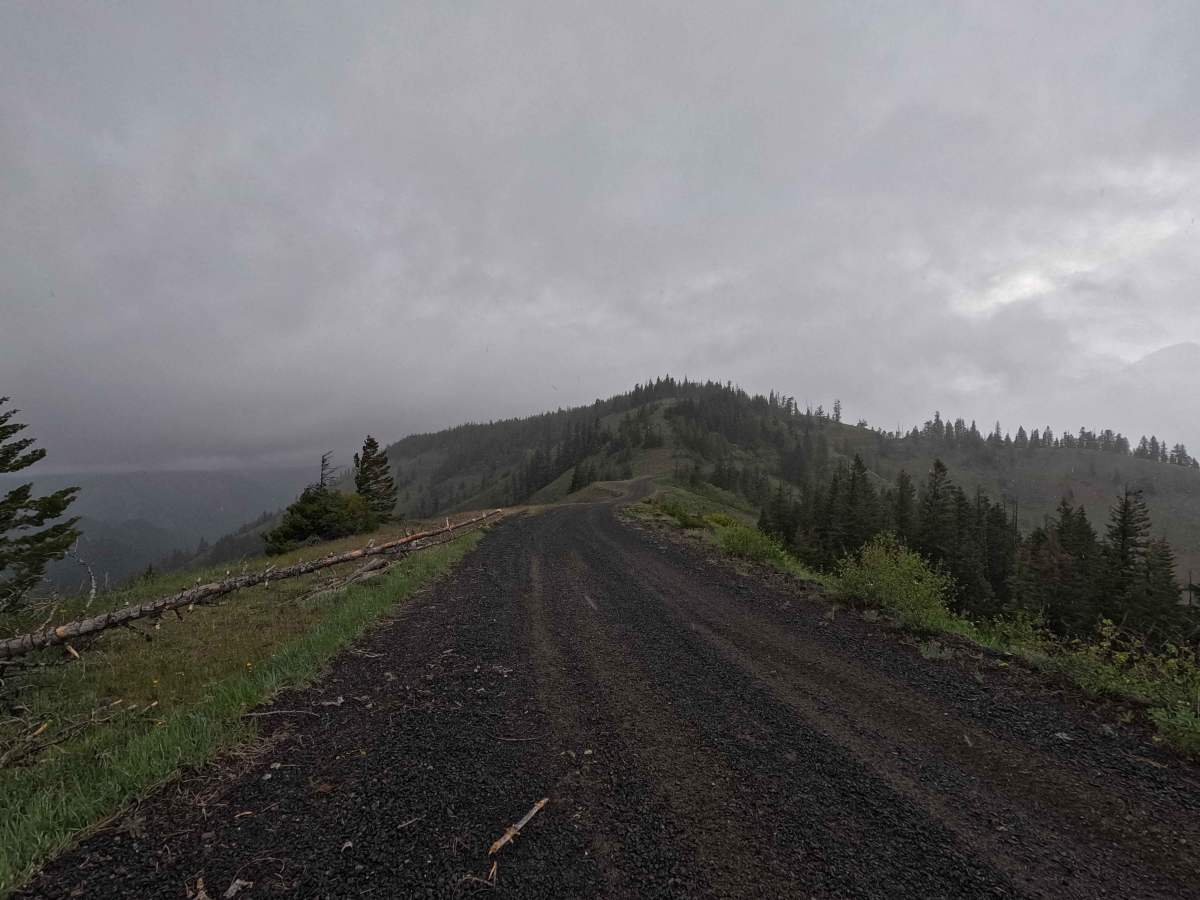
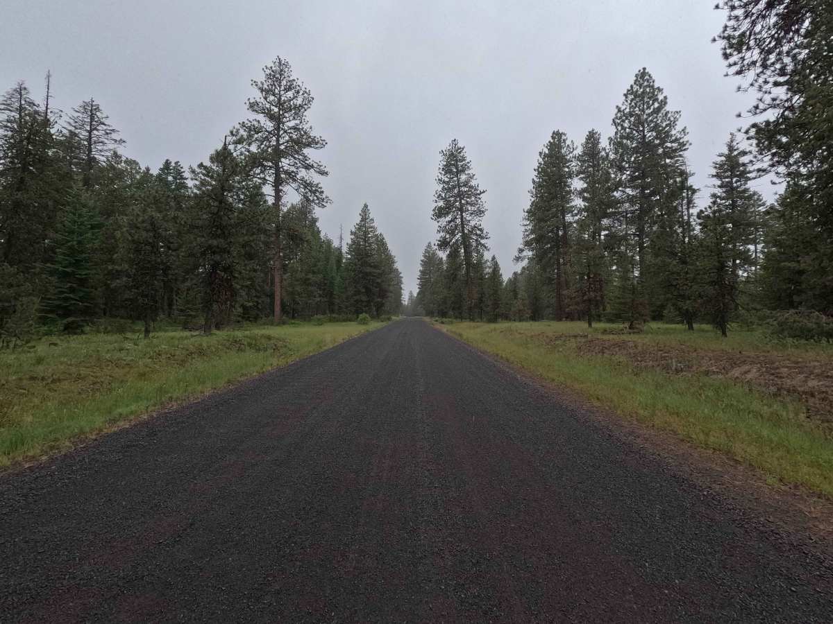
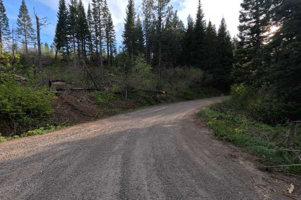
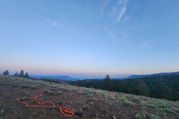
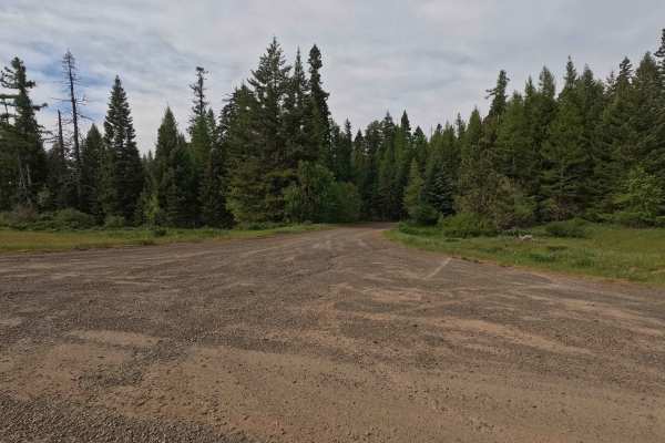
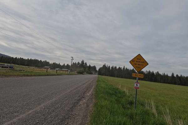
Skyline Road is a 29.3-mile point-to-point route that begins as a well-maintained two-lane gravel road before narrowing to a single-lane section at higher elevations, where the surface becomes rougher. The route climbs to approximately 5,816 feet, crossing multiple saddles along high ridgelines with expansive views, before widening again as it descends. OHVs are not permitted on this route. Skyline Road is open from April 1 to November 30.
Photos of Skyline Road - FS 31
Difficulty
Skyline Road is suitable for most 2WD and low-clearance vehicles, as it is generally well maintained for much of its length. The primary challenges occur in higher elevation sections where the road narrows to a single lane and becomes rougher. Weather conditions such as rain or snow can increase difficulty, particularly at higher elevations. As with most trails in the area, bringing a chainsaw or equipment to clear fallen trees is recommended.
Status Reports
Skyline Road - FS 31 can be accessed by the following ride types:
- High-Clearance 4x4
- SUV
Skyline Road - FS 31 Map
Popular Trails
Bun Creek - NF1004
Larch Mountain Road
The onX Offroad Difference
onX Offroad combines trail photos, descriptions, difficulty ratings, width restrictions, seasonality, and more in a user-friendly interface. Available on all devices, with offline access and full compatibility with CarPlay and Android Auto. Discover what you’re missing today!