Off-Road Trails in Oregon
Discover off-road trails in Oregon

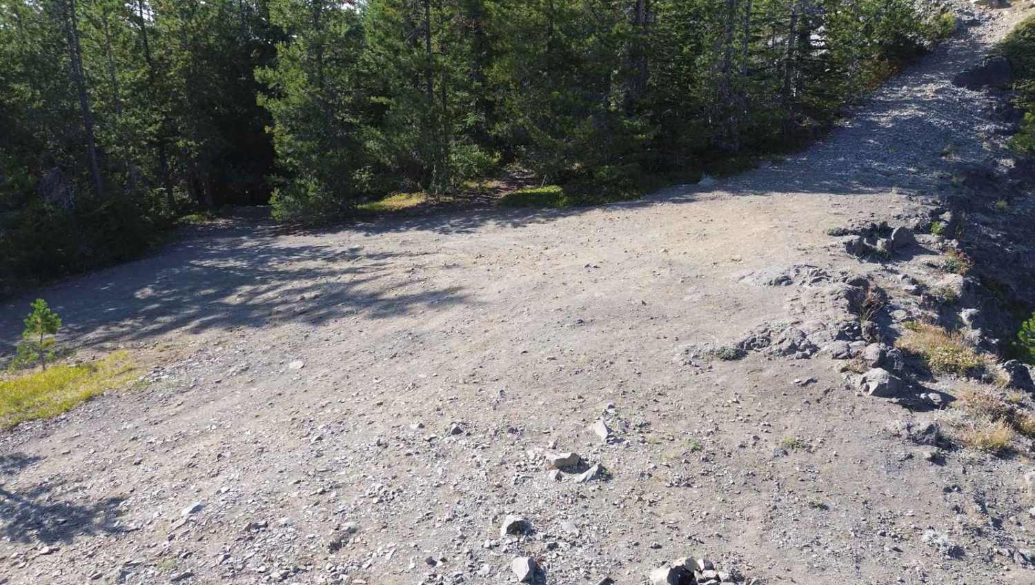
Learn more about Happy Jack - FS 24
Happy Jack - FS 24
Total Miles
18.3
Tech Rating
Easy
Best Time
Spring, Summer, Fall, Winter
Learn more about Happy Meal 4B
Happy Meal 4B
Total Miles
0.8
Tech Rating
Moderate
Best Time
Spring, Summer, Fall
Learn more about Harriet Lake 4630
Harriet Lake 4630
Total Miles
4.0
Tech Rating
Easy
Best Time
Spring, Summer, Fall
Learn more about Hart Mountain Antelope Refuge
Hart Mountain Antelope Refuge
Total Miles
45.6
Tech Rating
Easy
Best Time
Summer, Fall

Learn more about Hauser OHV Trail - 1341
Hauser OHV Trail - 1341
Total Miles
2.3
Tech Rating
Easy
Best Time
Spring, Summer, Fall, Winter
Learn more about Haynes Way Lane
Haynes Way Lane
Total Miles
3.4
Tech Rating
Easy
Best Time
Spring, Summer, Fall, Winter
Learn more about Haystack Overlook
Haystack Overlook
Total Miles
10.6
Tech Rating
Easy
Best Time
Spring, Summer, Fall
Learn more about Hellgate Recreation Site 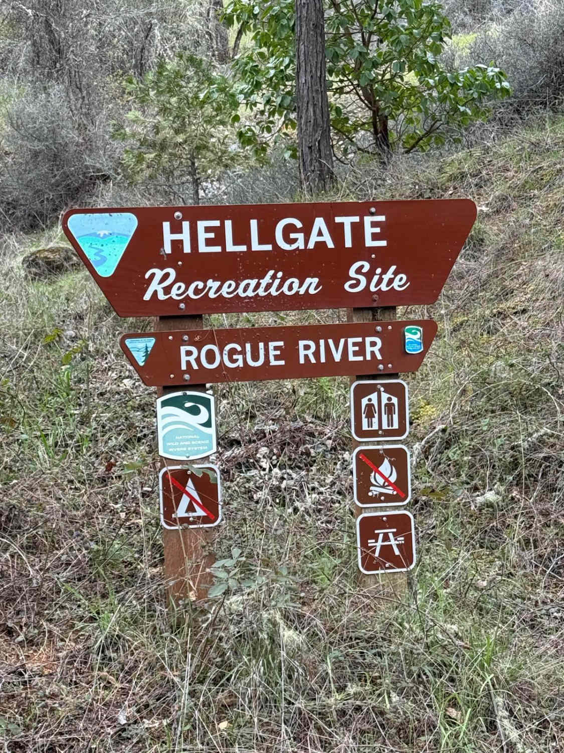
Hellgate Recreation Site
Total Miles
7.7
Tech Rating
Easy
Best Time
Spring
Learn more about Hells Canyon Overlook - Dirt Road Approach
Hells Canyon Overlook - Dirt Road Approach
Total Miles
8.1
Tech Rating
Easy
Best Time
Summer
Learn more about Hembre Ridge Road
Hembre Ridge Road
Total Miles
12.5
Tech Rating
Easy
Best Time
Summer, Spring, Fall

Learn more about Hideaway Lake - FR 5830
Hideaway Lake - FR 5830
Total Miles
7.7
Tech Rating
Easy
Best Time
Spring, Summer, Fall
Learn more about High Divide #5850
High Divide #5850
Total Miles
46.1
Tech Rating
Easy
Best Time
Spring, Summer, Fall
Learn more about High Lakes to North Blowout Shelter
High Lakes to North Blowout Shelter
Total Miles
4.1
Tech Rating
Moderate
Best Time
Summer, Fall
Learn more about High Prairie 1928
High Prairie 1928
Total Miles
7.6
Tech Rating
Easy
Best Time
Spring, Summer, Fall
ATV trails in Oregon


UTV/side-by-side trails in Oregon
Learn more about 10 Mile OHV Trail
10 Mile OHV Trail
Total Miles
1.6
Tech Rating
Easy
Best Time
Spring, Summer, Fall


The onX Offroad Difference
onX Offroad combines trail photos, descriptions, difficulty ratings, width restrictions, seasonality, and more in a user-friendly interface. Available on all devices, with offline access and full compatibility with CarPlay and Android Auto. Discover what you’re missing today!