Kwiskwis - FR 5871
Total Miles
7.6
Technical Rating
Best Time
Spring, Summer, Fall
Trail Type
Full-Width Road
Accessible By
Trail Overview
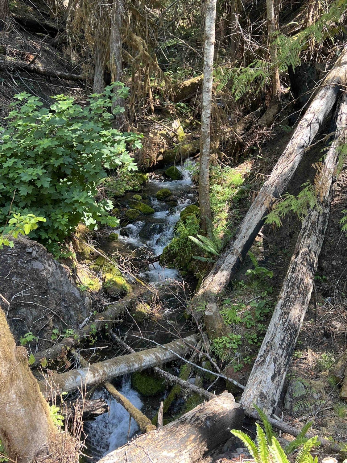
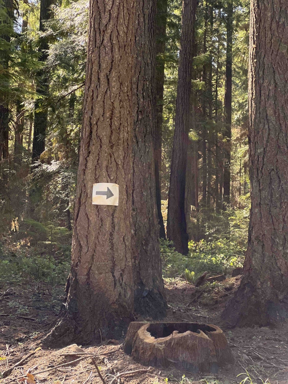
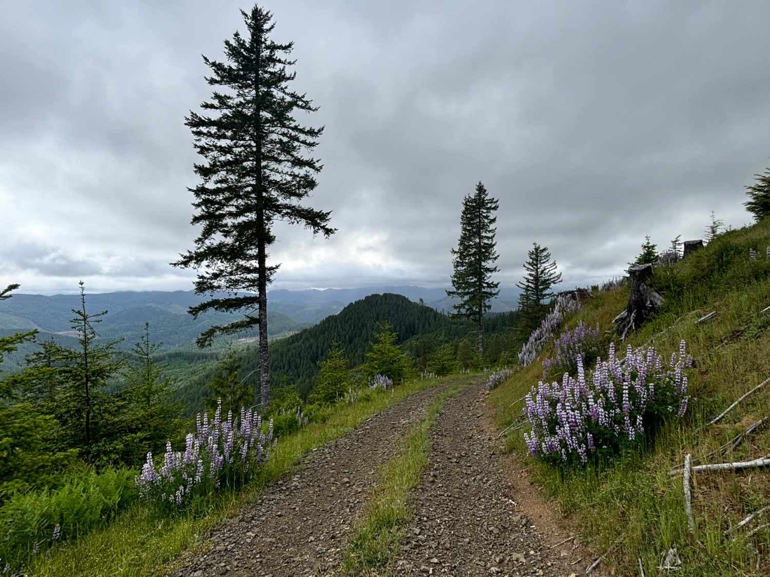
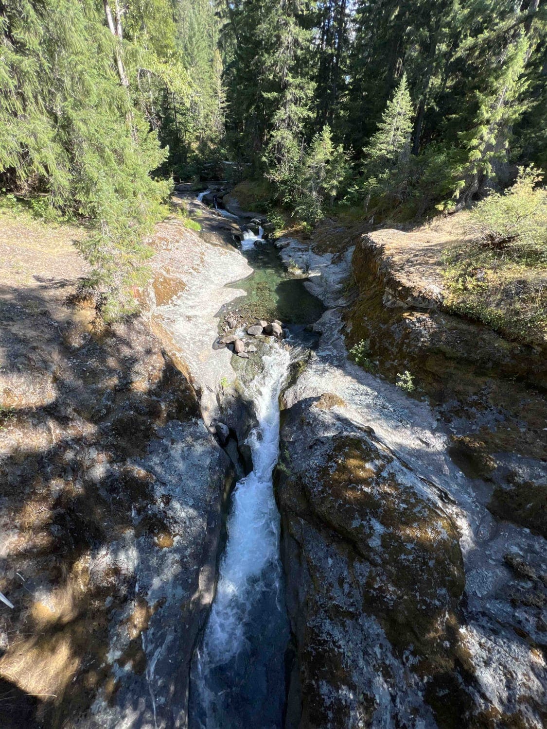
Kwiskwis 5871 is in the heart of the Willamette National Forest which accounts for 1.7 million acres in Oregon. This route is part of the 2020 Beachie Creek, Holiday Farm, and Lionshead Fires which burned over 176,000 acres. There are signs when entering warning adventurers that there is falling debris, rockslides, landslides, flash floods, and falling trees. Use extreme caution when it's raining or windy as this heightens the threat level. Low-clearance vehicles aren't advised due to the large rocks in the middle of the road in several locations on this route. The great aspect of nature is the ability for regrowth which is seen by the amounts of wildflowers that line this road. Lupine, Indian Paintbrush, white and yellow daisies, ferns, Red Rock Penstemon, Mountain Cat's Ear, Larkspur, and Glacier Lily are just some of the 300 different plant species here. Douglas-fir is the most prominent tree in this forest with abundant old-growth areas that survived the fires. Dispersed camping is available along this route however they are primitive with no restrooms, however, some of these sites are right next to creeks where you can boil water. The Eugene to Pacific Crest Trail can be accessed on this route which has a staging and parking area along with signs and trail markers. Cell phone service in the WNF is almost obsolete. The best time to enjoy this area is late spring through the early fall when temperatures are warm, calm, and enjoyable. The late fall through early spring brings rain, wind, snow, and strong offshore storms. The WNF has a pack it in and pack it out rule along with tread lightly principles.
Photos of Kwiskwis - FR 5871
Difficulty
Due to the fires in 2020, this area is subject to landslides, falling debris, rocks, and trees. Large boulders and rocks are in the middle of the road and can't be moved due to their size. The road is narrow in places with some big potholes and washed-out sections. This area receives several feet of snowfall during the winter time and roads are impassable.
History
The Pacific Crest Trail goes through California, Oregon, and Washington, and was eventually designated one of the first scenic trails in the National Trails System authorized by Congress in 1968, and dedicated in 1993. Here is some more information on the PCT. https://www.oregonencyclopedia.org/articles/willamette_national_forest/
Status Reports
Kwiskwis - FR 5871 can be accessed by the following ride types:
- High-Clearance 4x4
- SUV
- SxS (60")
- ATV (50")
- Dirt Bike
Kwiskwis - FR 5871 Map
Popular Trails
Murphy Guard Station Loop
Corral Creek Road
Stanley Creek 2136
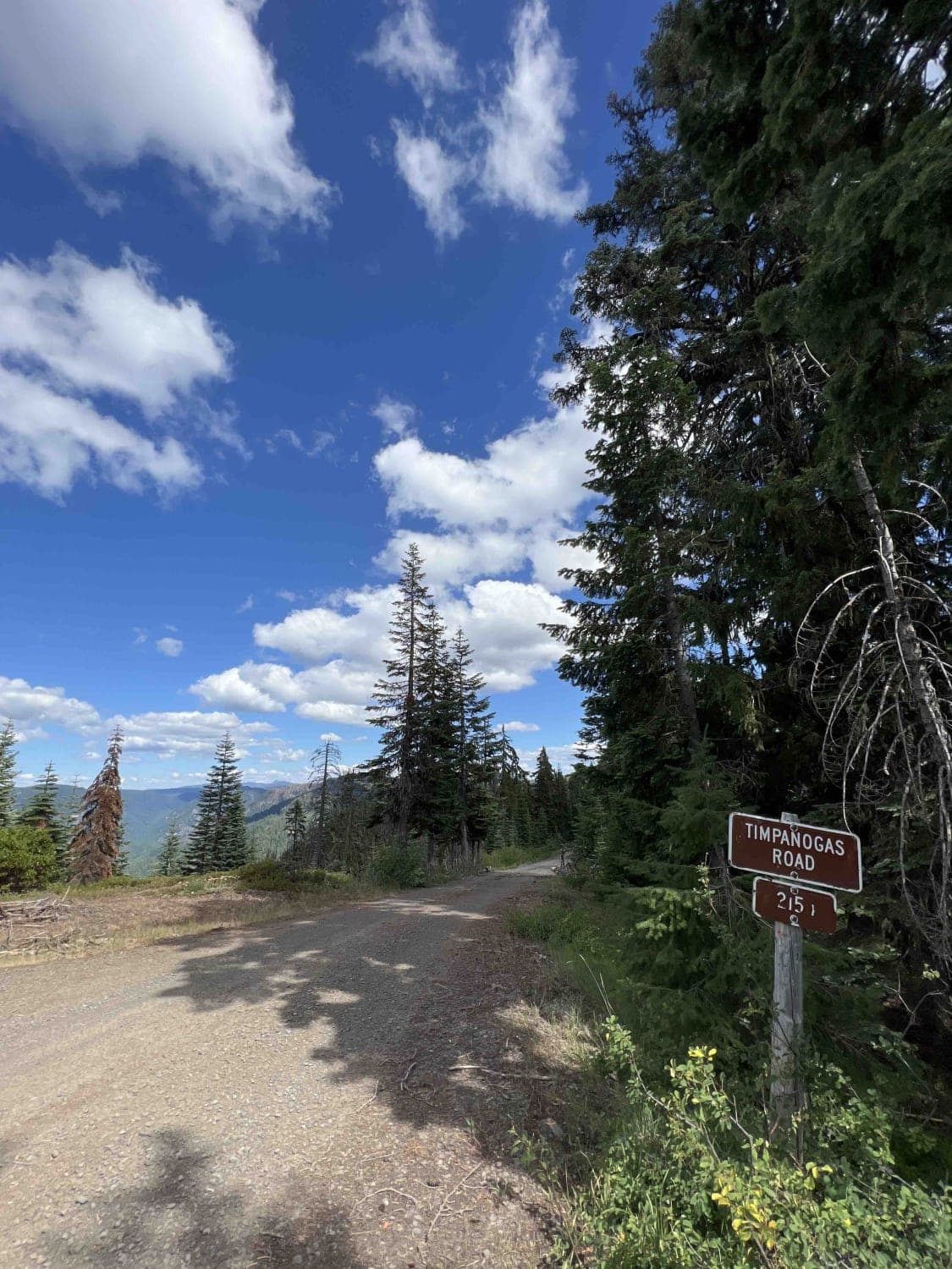
Timpanogas 2154
The onX Offroad Difference
onX Offroad combines trail photos, descriptions, difficulty ratings, width restrictions, seasonality, and more in a user-friendly interface. Available on all devices, with offline access and full compatibility with CarPlay and Android Auto. Discover what you’re missing today!