211
Total Miles
10.7
Technical Rating
Best Time
Spring, Summer, Fall
Trail Type
Full-Width Road
Accessible By
Trail Overview
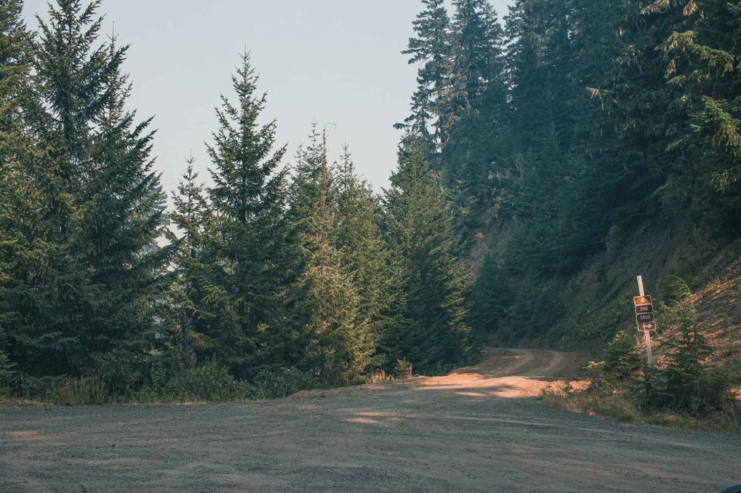
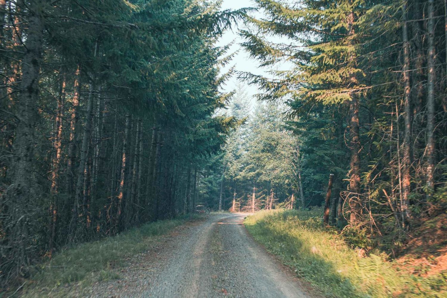
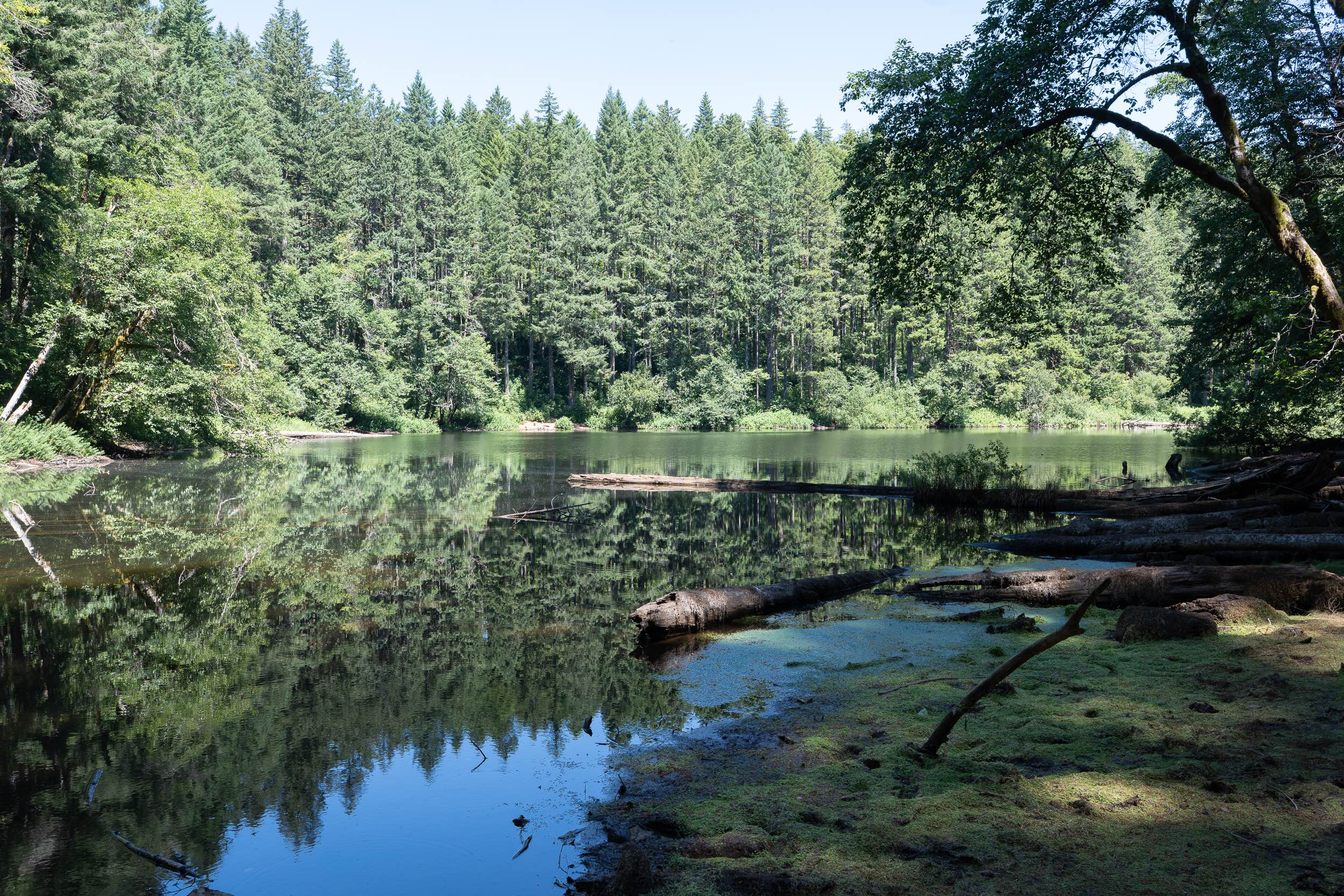
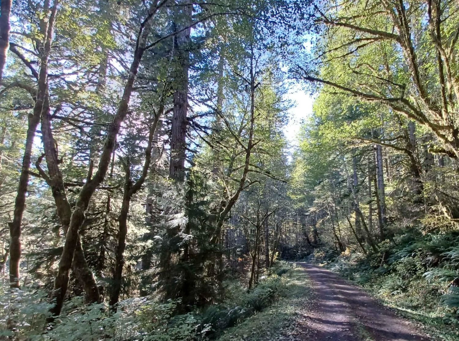
2110 road number 5850 is an easy gravel road. Depending on the route the road either starts/ends in Umpqua National Forest, or the road starts/ends in the Willamette National Forest, but most of the road runs through a timber property. Hills Creek Lake can be found after or before the road if your looking for an area to camp Packard Creek Campground is near the lake.
Photos of 211
Difficulty
typically unmaintained after rain or snow
Status Reports
211 can be accessed by the following ride types:
- High-Clearance 4x4
- SUV
- SxS (60")
- ATV (50")
- Dirt Bike
211 Map
Popular Trails
Trail 16 (Cline Bute OHV)
The onX Offroad Difference
onX Offroad combines trail photos, descriptions, difficulty ratings, width restrictions, seasonality, and more in a user-friendly interface. Available on all devices, with offline access and full compatibility with CarPlay and Android Auto. Discover what you’re missing today!
