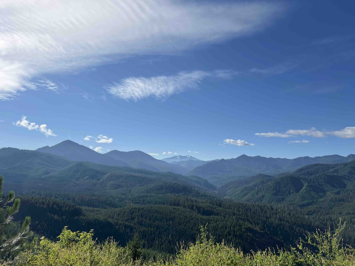
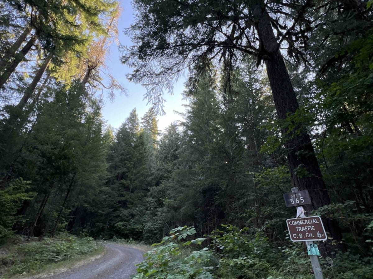
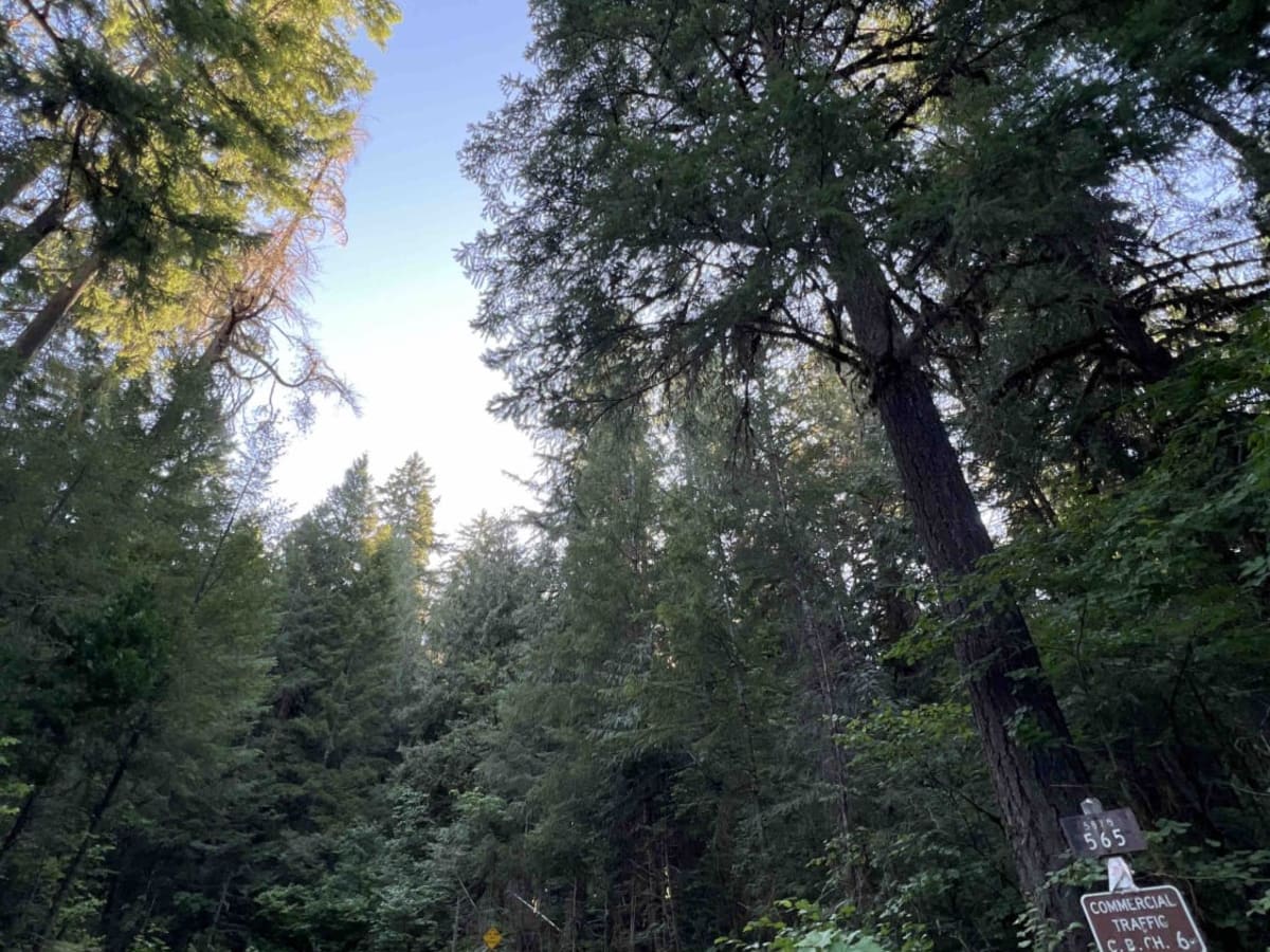
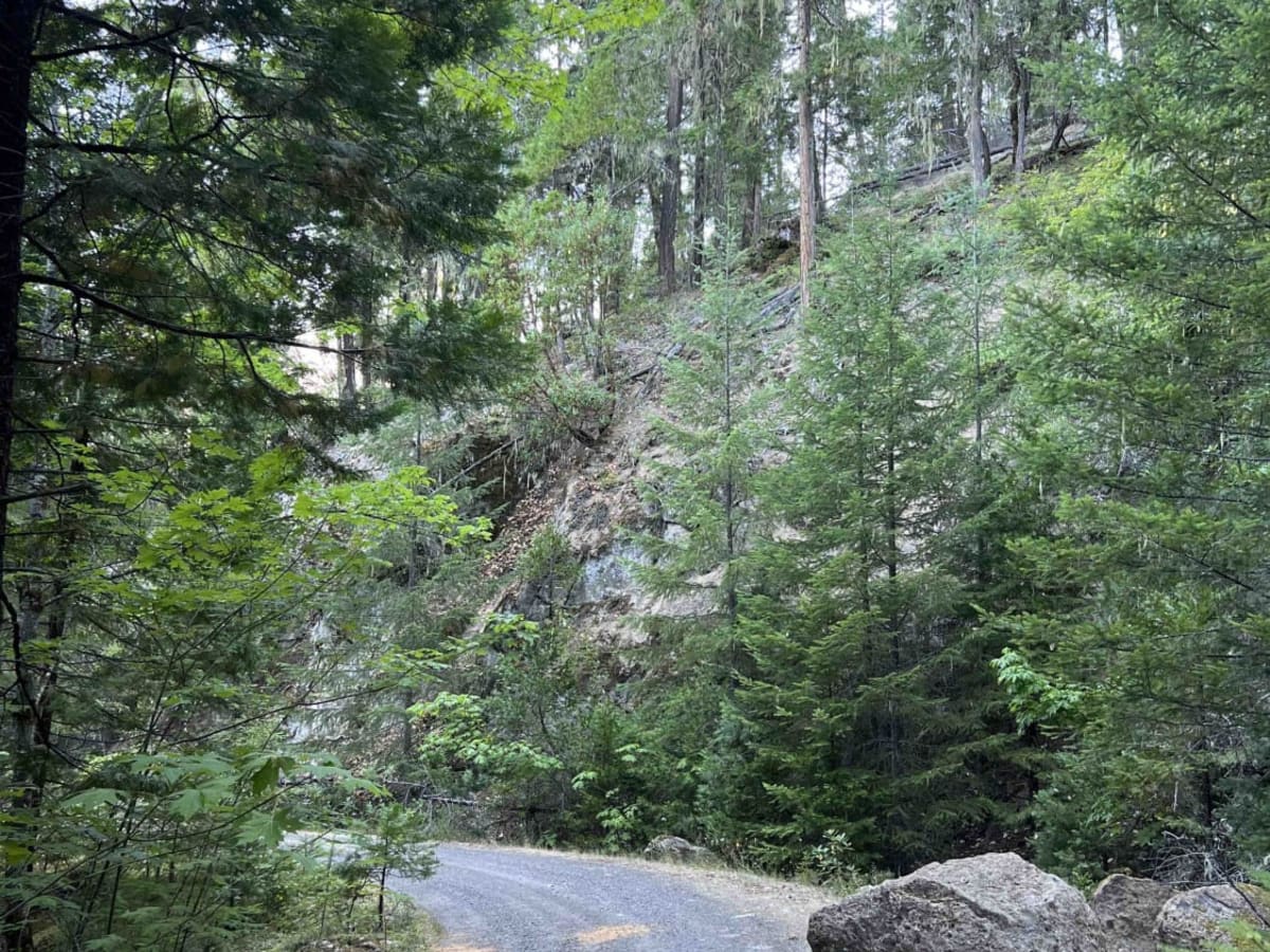
Trail Overview
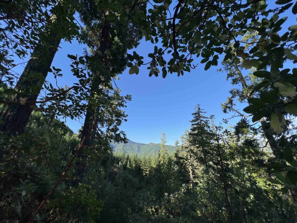
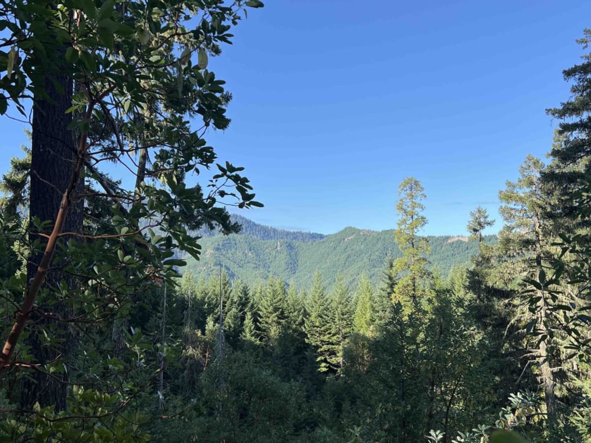
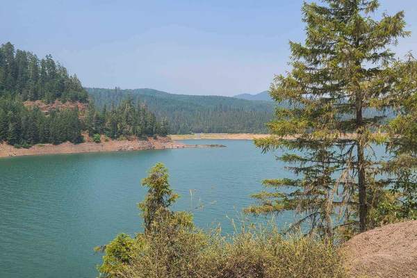
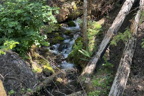
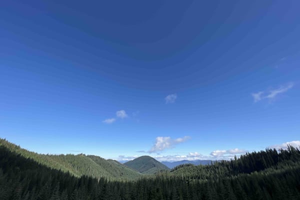
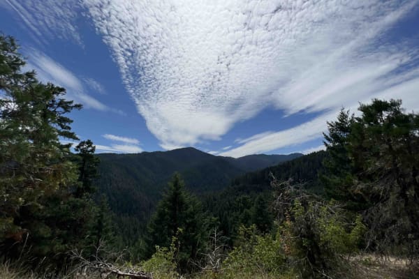
Gate Creek Road, named after the creek that runs underneath this beautiful scenic route, is located in the 1.7-million-acre Willamette National Forest. This route is a bypass to Wolf Mountain where you will find hiking, mountain biking, and horseback riding trails. The base of this trail is the Hills Creek Reservoir, which is enjoyed by the public with several recreation areas with vault toilets. Turning onto the main trail, it starts a steep incline up through Douglas-fir-lined forest. Low clearance vehicles aren't recommended due to steep inclines, steep drop-offs, boulders the size of cars, falling trees, overhanging trees, landslides that change the camber of the road, pin striping due to narrowness, and in one section the possibility of rollovers. 4x4 is recommended to maneuver around landslides that block the road and force vehicles to be on the edge of the trail. There are dispersed campsites that are first come, first serve. These campsites are primitive and have no restrooms or running water. There are creeks with non-potable water that can be boiled. Wildlife seen in this area includes blue-grouse, chipmunk, black-tailed deer, black bear, northern spotted owl, woodpeckers, and 300 other species of wildlife. Flora is stunning with fields of newly flowered blooms with colors of purple, white, yellow, pink, and white. The best time to set out for an adventure here would be March through November due to the heavy snowpack that takes time to melt off. Gates are closed and roads are inaccessible from November 1st through March 1st. Northwest Forest Recreation passes are required at all trailheads or a day-use fee is required. The Willamette National Forest asks that you pack it in and pack it out, along with following tread lightly principles.
Difficulty
Low clearance vehicles aren't recommended due to steep inclines, steep drop-offs, boulders the size of cars, falling trees, overhanging trees, landslides that change the camber of the road, pinstriping due to narrowness, and in one section the possibility of rollovers. 4x4 is recommended to maneuver around landslides that block the road and force vehicles to be on the edge of the trail.