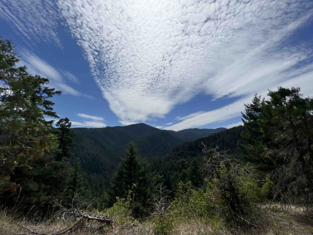
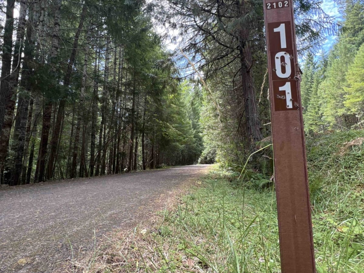
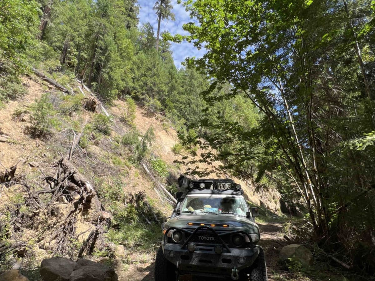
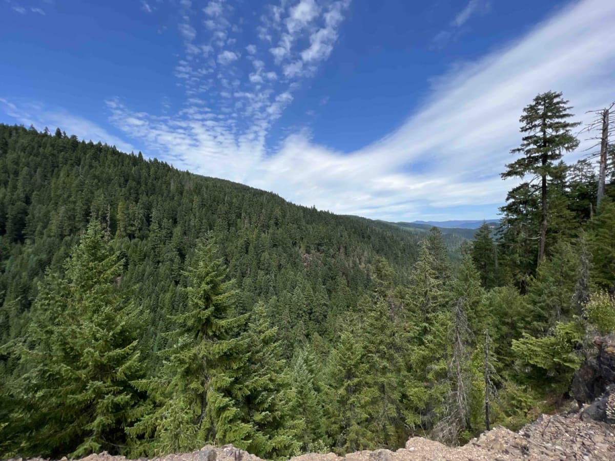
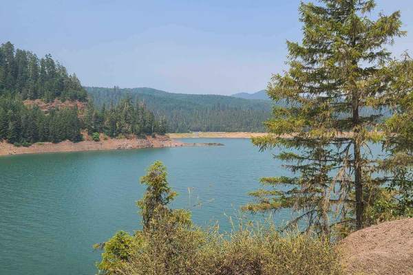
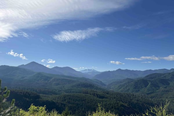
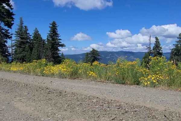
Larison Creek Trailhead Upper 1202-101

Total Miles 11.1
Technical Rating
7 Difficult
Best Time Spring, Summer, Fall
Trail Type High-Clearance 4x4 Trail
Accessible By
Open Trail Map

Trail Overview

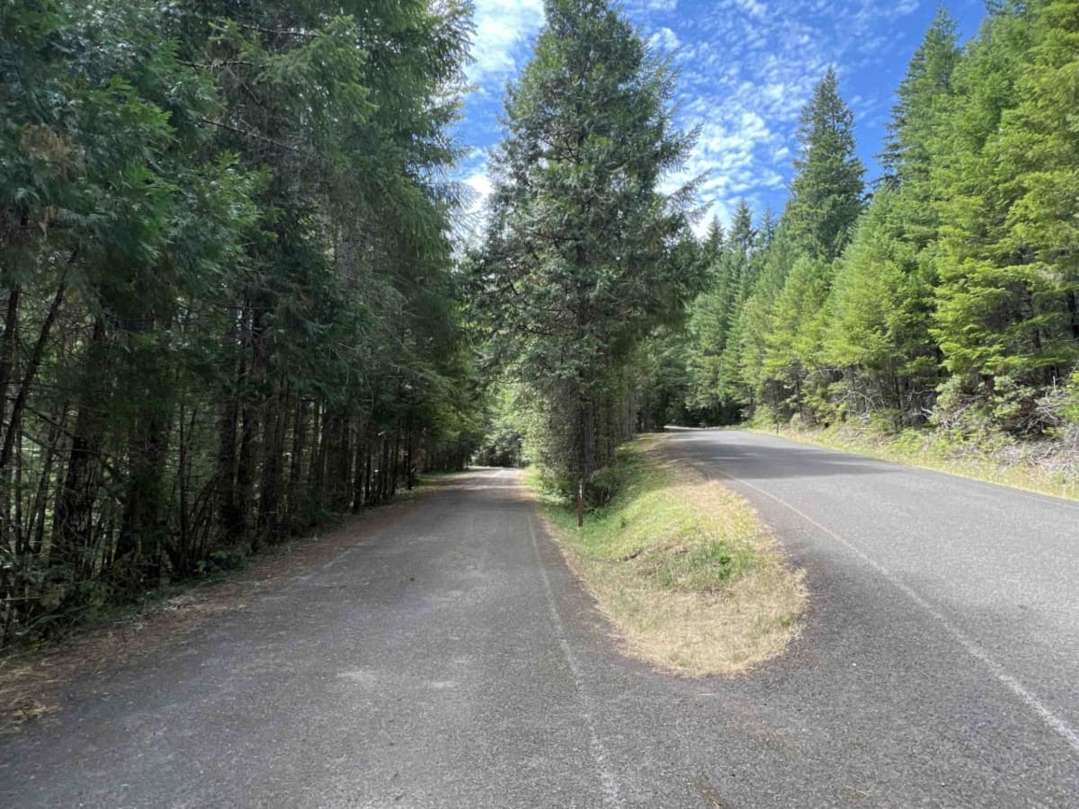
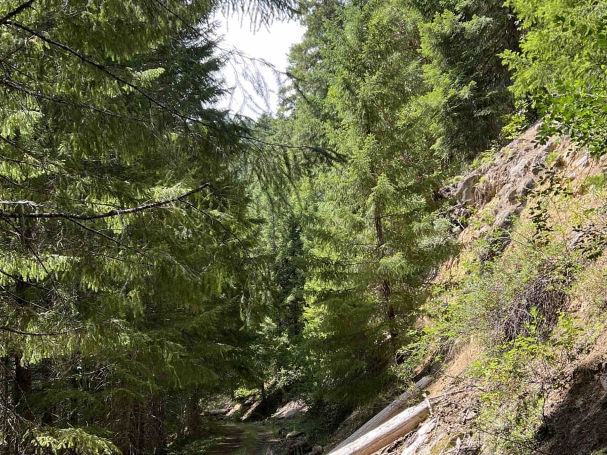
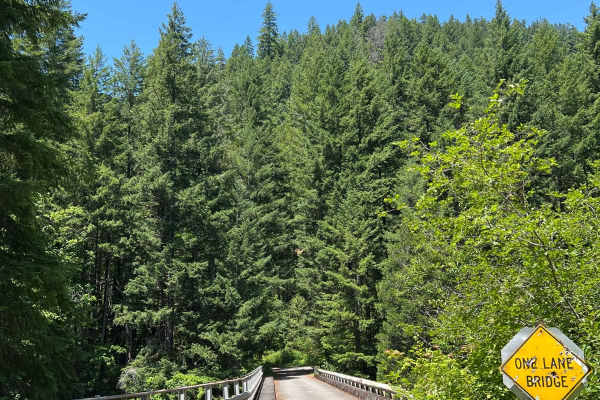
Larison Creek Trailhead is the gateway to a very popular motorized/non-motorized riding trail system in the 1.7 million-acre Willamette National Forest. Located 42 miles south of Oakridge, Oregon, this route leads you through an 11.4-mile endless scenic landscape of the Cascade Mountain Range. This road is very narrow with lots of trees overhanging, branches in the road, big rocks, potholes, landslides, rockslides, and very steep cliffs. This is not recommended for cars as major damage can occur, including pin striping. This area is a popular destination for mountain bikers and is known as the mountain biking capital of the Pacific Northwest. There are two major trail systems, Larison Trailhead Upper which is for both motorized and non-motorized, and Larison Rock, which is for hiking, mountain biking, and horseback riding. While exploring this area, you will find blue grouse, black-tailed deer, bald eagles, hawks, cougars, black bears, and raccoons. This area is accessible from March through November only due to weather impacts. The WNF has a pack it in and pack it out rule along with tread lightly principles to ensure habitats remain untouched and free from the trash. Let's all keep the forests green. Enjoy.

Photos of Larison Creek Trailhead Upper 1202-101

Difficulty

This trail and most trails in the Willamette National Forest have rock slides, boulder slides, landslides, falling trees, boulders the size of cars, flash flooding, and deep snow during winter. This road at times requires 4x4 and 4-low. Use extreme caution when navigating this area. Cliffs with drop-offs of 1,000 feet or more are along this route. There are no barriers or signs to help navigate this route.

Technical Rating

7

Status Reports

Add Status Report
Hunter F
Nov 01, 2025
Open
James McCormick
Sep 17, 2025
Open
the trail is open, but a lot of trees leaning into the tail. there were quite a few rock-falls to navigate around. they weren't hard, but might be more difficult if towing. great views into the valley below and the road feels as if it's not traveled very often. pretty fun
Nate T
Aug 08, 2025
Open
Nothing too serious, clear road all the way.
Dakota Williamson
Jul 08, 2025
Open
Me and my friend went up to this trail no problems at all. In fact we were able to cruise at 15mph lowest to about mid 30mph. There were some trees and branches in the road but my car was able to keep going and I only have a 2in lift on very basic all terrain tires. It was a fun trail I do recommend to people looking for a good drive through forest.
Ryan Honein
May 18, 2025
Open
This trail was mislabeled as 7/10 difficulty. It is a groomed road with zero technicality. Don’t make the drive if you are expecting anything fun.
Katie M
Jul 24, 2024
Open
Trail is open until you get to the hiking trailhead, then there are many trees down. Not sure what the trail would be like past the hiking trail access, but it is 2/10 at most from the road to that point.

Larison Creek Trailhead Upper 1202-101 Trail can be accessed by the following ride types:

  • Single Track
  • 50 Inch
  • 60 Inch
  • High Clearance

Larison Creek Trailhead Upper 1202-101 Map

The onX Offroad Difference

onX Offroad combines trail photos, descriptions, difficulty ratings, width restrictions, seasonality, and more in a user-friendly interface. Available on all devices, with offline access and full compatibility with CarPlay and Android Auto. Discover what you're missing today!

Open Trail Map