Jeff's Reservoir
Total Miles
4.1
Technical Rating
Best Time
Summer
Trail Type
60" Trail
Accessible By
Trail Overview
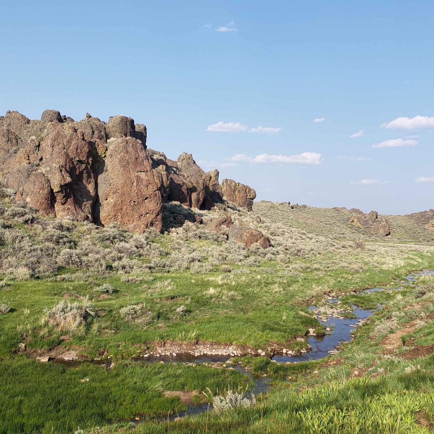
The trail to Jeff's Reservoir is rocky, rugged, and remote. Proper planning and preparation are crucial for going out in this area and weather is a major factor in travel in the area. The trail crosses a rocky high ridge and drops down into first one, and then a second draw with water from springs. These areas can get muddy. These draws are beautiful and warrant hikes and exploration themselves. Continuing along, you will cross another high, rocky, and dry ridge until you begin the descent into Massey Canyon, which holds Jeff's Reservoir. The trail up to the descent can be done by a 4x4 vehicle but from the rim down is ATV/SxS or hike-in access only. During the descent, anticipate off-camber corners with dangerous exposures, very steep sections of road, and no room to turn around until the bottom. There are many large rocks, deep ruts, and some slickrock sections.
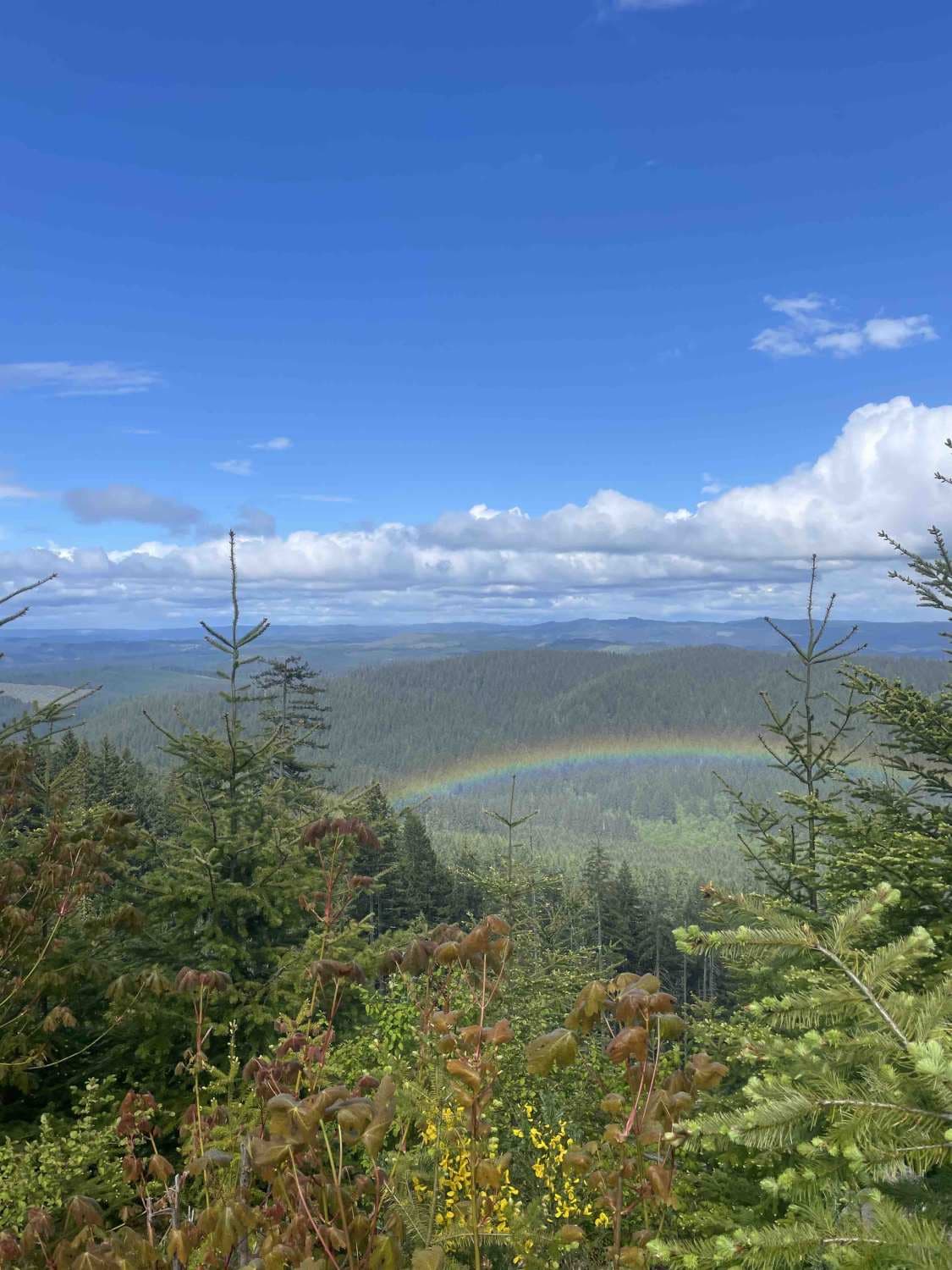
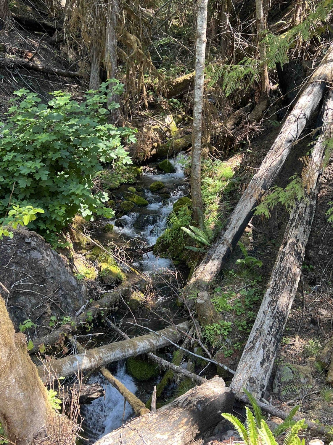
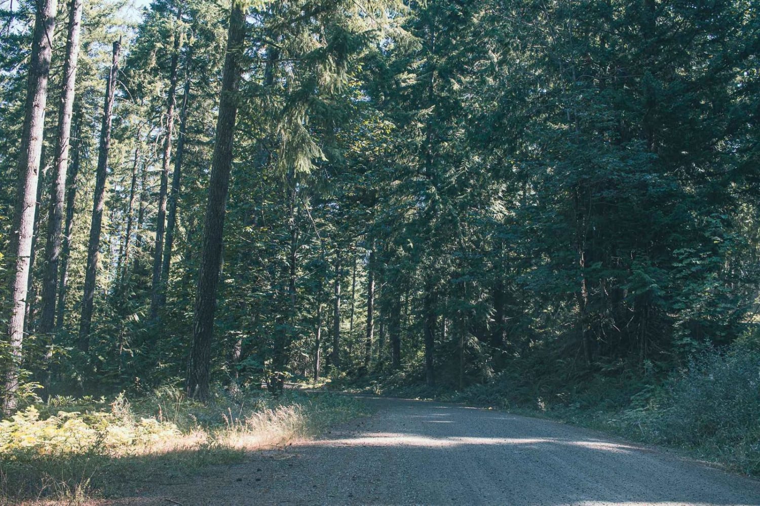
Photos of Jeff's Reservoir
Difficulty
This location is remote with no cell phone reception. There are chances of rollover in places as well as exposure to cliffs. Expect many rocks, ledges, and deep ruts.
Status Reports
Jeff's Reservoir can be accessed by the following ride types:
- SxS (60")
- ATV (50")
- Dirt Bike
Jeff's Reservoir Map
Popular Trails

Round Top Road

Kwiskwis - FR 5871

Dirt Road Dash
The onX Offroad Difference
onX Offroad combines trail photos, descriptions, difficulty ratings, width restrictions, seasonality, and more in a user-friendly interface. Available on all devices, with offline access and full compatibility with CarPlay and Android Auto. Discover what you’re missing today!


