Jump Off Joe
Total Miles
18.3
Technical Rating
Best Time
Summer
Trail Type
Full-Width Road
Accessible By
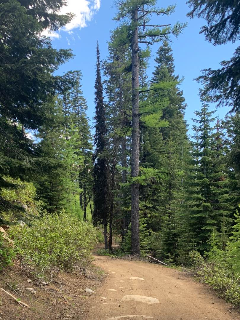
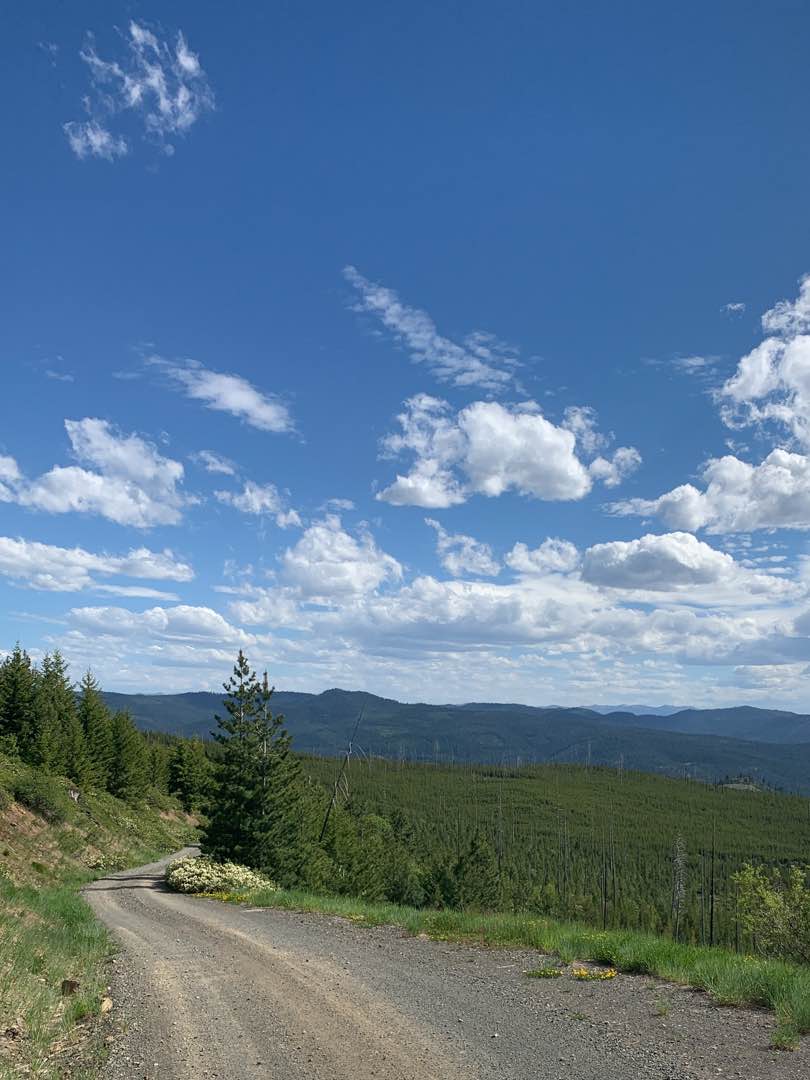
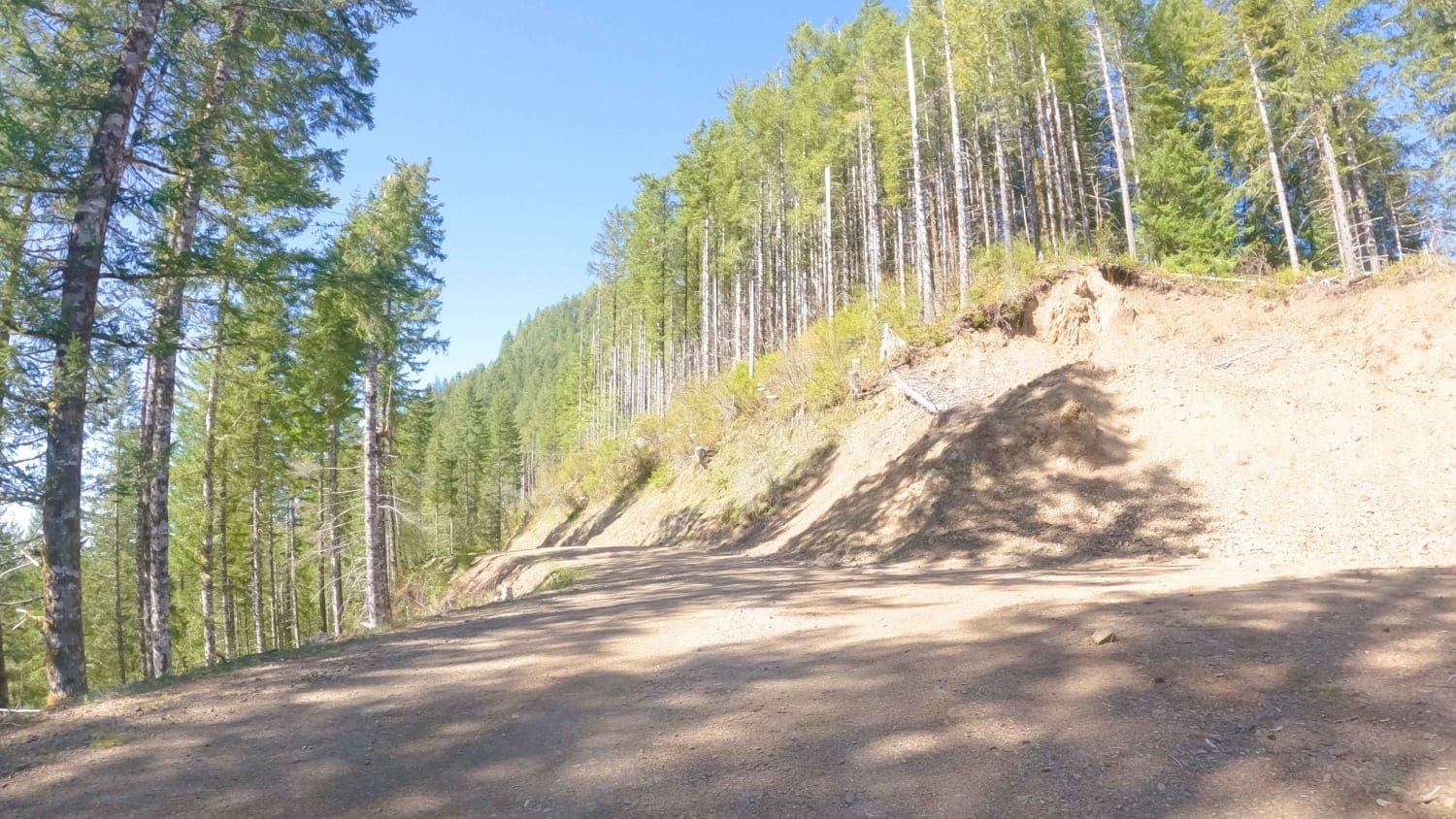
Trail Overview
This scenic nearly nineteen mile route climbs to an elevation of 6,436 feet above sea level. And, as you probably know that translates to incredible views. To the south a valley that cradles the middle fork of the John Day River. To the north lies the Umatilla National Forest and its 212,000 plus acres of mountains, lakes, streams, and trails. The route is free of obstacles and appears to be fairly well traveled and maintained. Near the halfway point you'll pass a fire lookout atop Indian Rock, which rises to an elevation of more than 7,300 feet.
Photos of Jump Off Joe
Difficulty
The only things that warrants a "2" rating is the narrow road. Other than that the only obstacles you'll encounter are occasional puddles and fallen trees.
Status Reports
Jump Off Joe can be accessed by the following ride types:
- High-Clearance 4x4
- SUV
- SxS (60")
- ATV (50")
- Dirt Bike
Jump Off Joe Map
Popular Trails

Cedar Butte Road
Gravel Pit Camp Road

McPherson Road
The onX Offroad Difference
onX Offroad combines trail photos, descriptions, difficulty ratings, width restrictions, seasonality, and more in a user-friendly interface. Available on all devices, with offline access and full compatibility with CarPlay and Android Auto. Discover what you’re missing today!