Cedar Butte Road
Total Miles
6.7
Technical Rating
Best Time
Spring, Summer, Fall
Trail Type
Full-Width Road
Accessible By
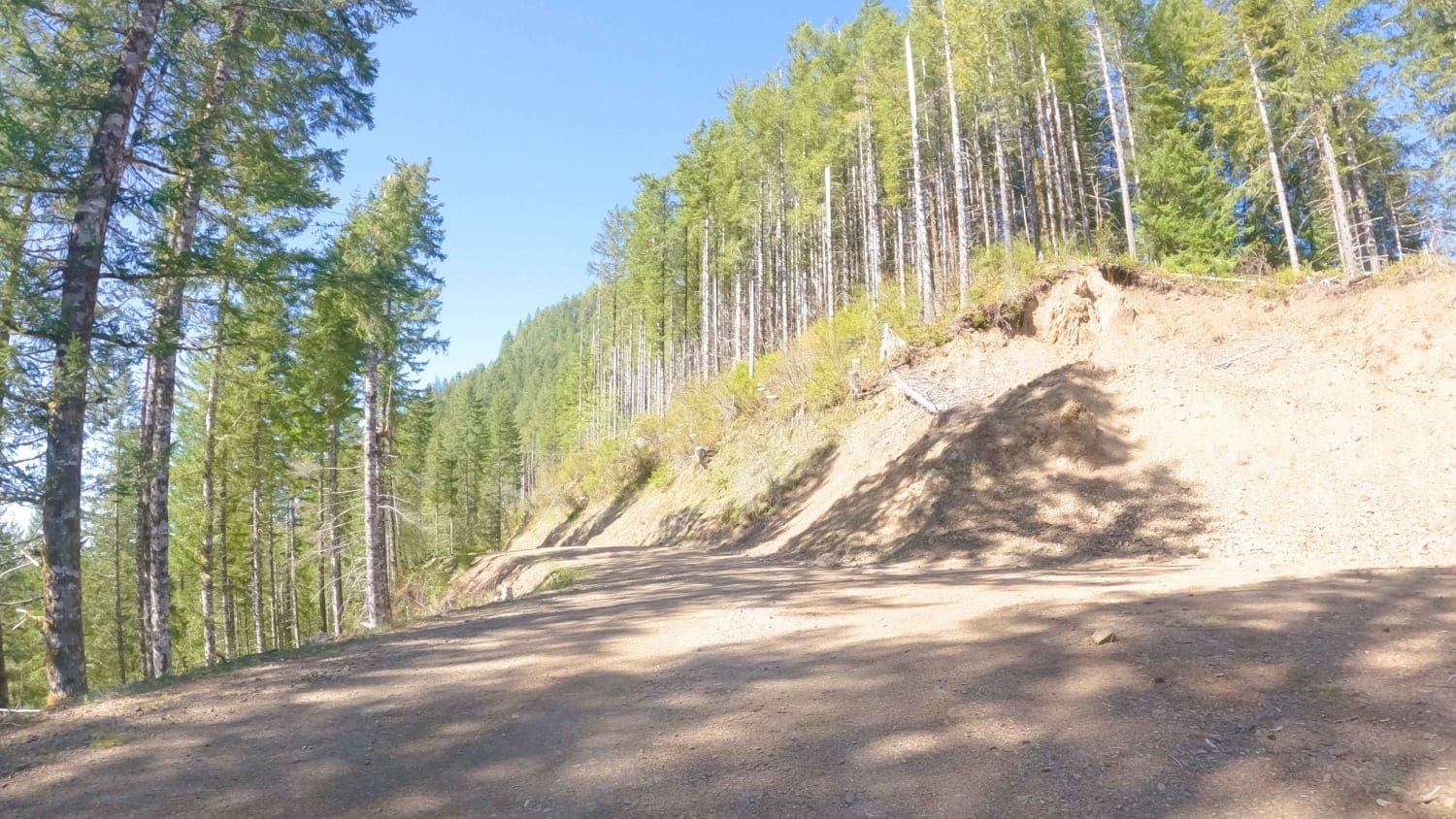
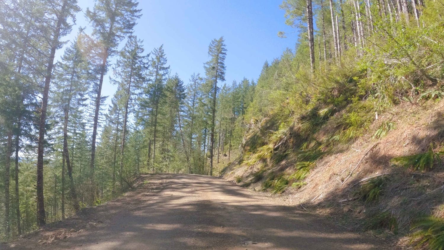
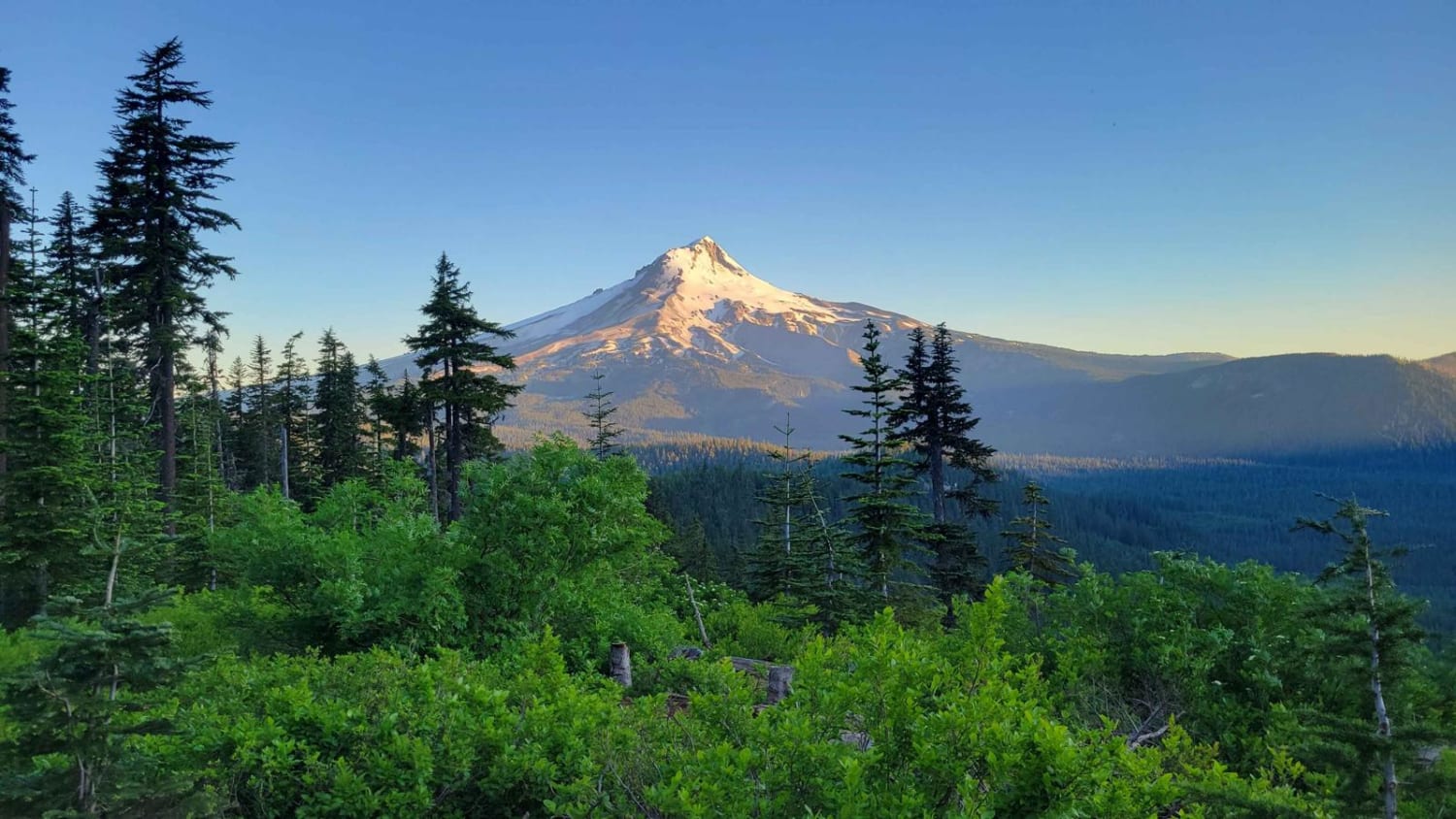
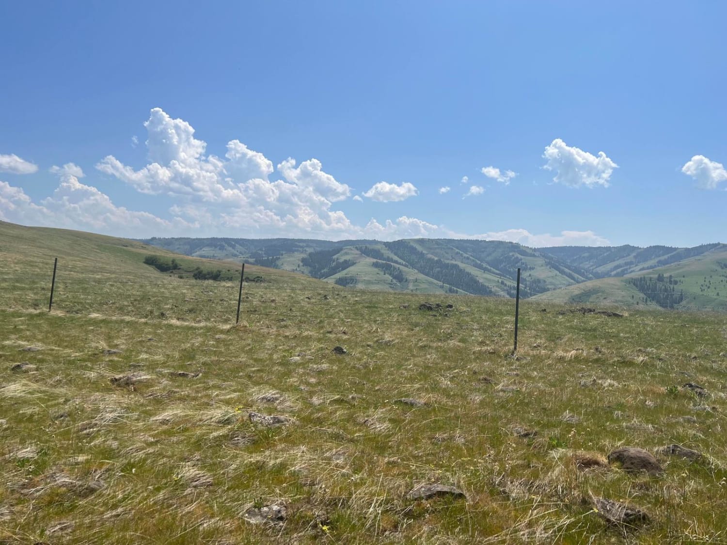
Trail Overview
Cedar Butte Road crosses the Wilson River as it begins at Highway 6 and climbs over 2,500' over 6.5 miles up into the Tillamook Range to a saddle just below Cedar Butte where it meets up with Cedar Creek Road, Kilchis River Road, and Wolf Point Road. It is one of the main access roads into this section of the Tillamook Range and is also used to access popular MX/ATV trails like Cedar Creek Trail and Frankenstein Trail. Be wary of MX/ATV, 4x4, and logging truck traffic along this access road. It is steep in sections with numerous blind corners.
Photos of Cedar Butte Road
Difficulty
This is an easy gravel forest road.
Status Reports
Cedar Butte Road can be accessed by the following ride types:
- High-Clearance 4x4
- SUV
- SxS (60")
- ATV (50")
- Dirt Bike
Cedar Butte Road Map
Popular Trails
Haynes Way Lane
Bennett Pass 2
Rock the Ridge
The onX Offroad Difference
onX Offroad combines trail photos, descriptions, difficulty ratings, width restrictions, seasonality, and more in a user-friendly interface. Available on all devices, with offline access and full compatibility with CarPlay and Android Auto. Discover what you’re missing today!