Lower Cross District Trail
Total Miles
5.8
Technical Rating
Best Time
Summer, Fall, Spring
Trail Type
Full-Width Road
Accessible By
Trail Overview
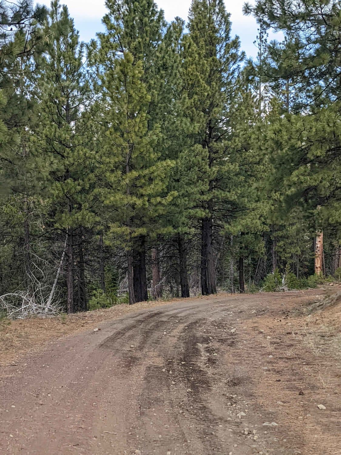
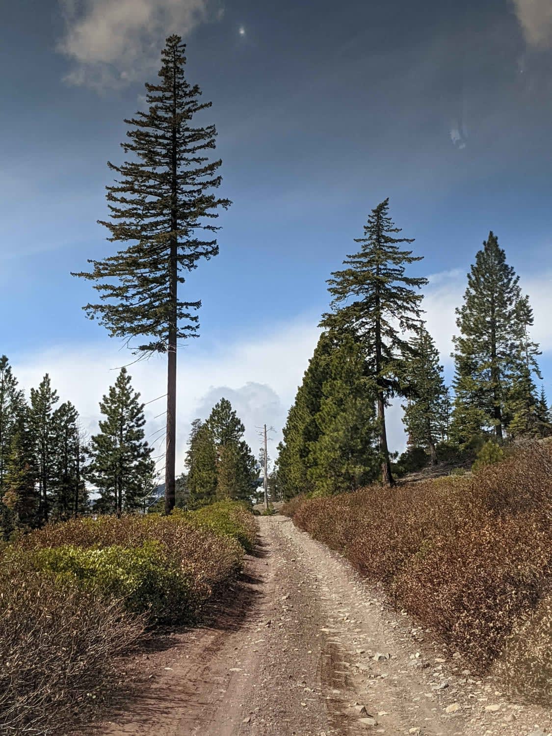
Wide, graded cinder Forest Service Road with occasional rocky sections. This road runs North - South between historic McKenzie Highway and the historic Old Santiam Road. Spur roads to the West dead-end shortly at the Eastern edge of the Mount Washington Wilderness. These roads are snowbound from December through April, not maintained in winter and are popular spots for the Central Oregon snow-wheeling crowd.
Photos of Lower Cross District Trail
Difficulty
Easy forest service road
Status Reports
Lower Cross District Trail can be accessed by the following ride types:
- High-Clearance 4x4
- SUV
- SxS (60")
- ATV (50")
- Dirt Bike
Lower Cross District Trail Map
Popular Trails

#104 (Moderate)

37 Spring Trail
The onX Offroad Difference
onX Offroad combines trail photos, descriptions, difficulty ratings, width restrictions, seasonality, and more in a user-friendly interface. Available on all devices, with offline access and full compatibility with CarPlay and Android Auto. Discover what you’re missing today!


