Hole in the Ground Loop - FS 3130
Total Miles
3.0
Technical Rating
Best Time
Spring, Summer, Fall
Trail Type
Full-Width Road
Accessible By
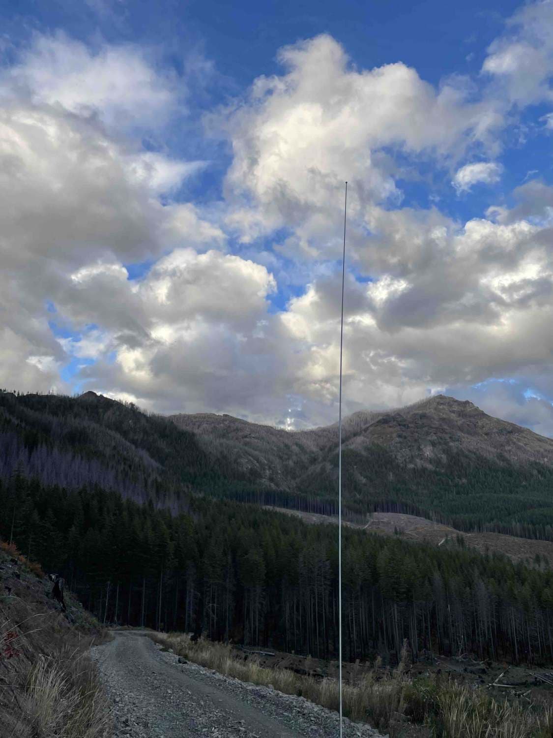
Trail Overview
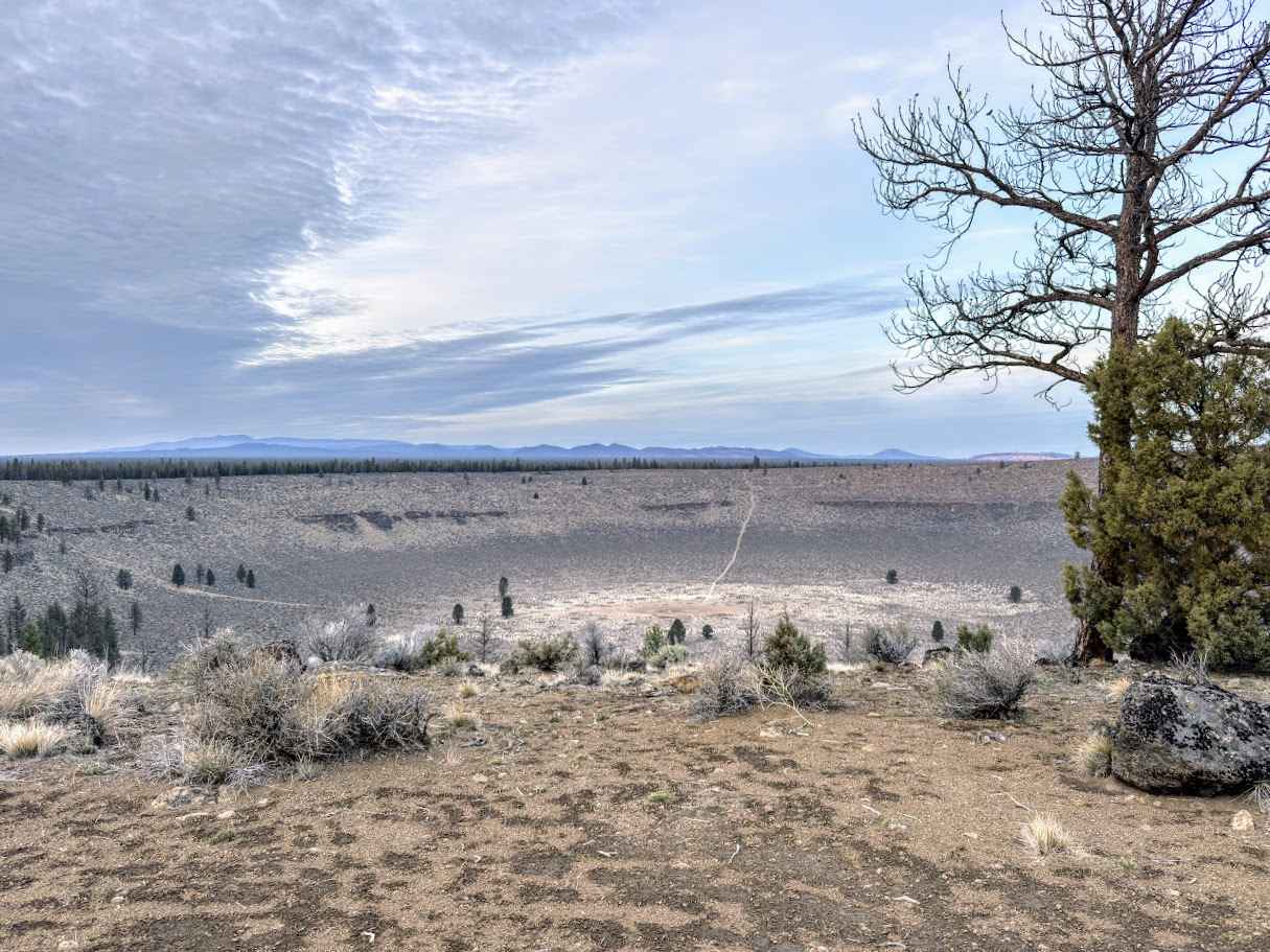
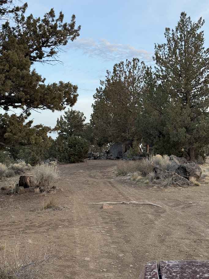
Forest Service Road 3130 makes a scenic loop around the rim of Hole in the Ground, a massive volcanic crater in Oregon's Fort Rock Basin. The drive offers constant high-desert views and frequent pullouts where you can look hundreds of feet down into the bowl or out toward Fort Rock and Newberry Volcano. Short walks from the rim lead to even better overlooks, and the open terrain gives the route a wide, expansive feel. The road itself is unpaved and typical of Central Oregon forest routes--loose volcanic cinders, washboard, ruts, and occasional gullies. It's generally manageable for high-clearance vehicles, with 4x4 helpful when conditions are wet. Check for seasonal closures before venturing out. Dispersed camping is plentiful along the rim and on spur roads branching from 3130. Many established sites sit tucked among the pines with big-sky views and easy access to sunrise or sunset walks. Choose existing sites, respect fire restrictions, and pack out all waste to help keep this unique volcanic landscape pristine.
Photos of Hole in the Ground Loop - FS 3130
Difficulty
Easy to drive most of this area in just about any vehicle.
History
Hole in the Ground is a large volcanic explosion crater (maar) in the Fort Rock-Christmas Lake Valley basin of central Oregon, formed during the late Pleistocene, roughly 13,500-18,000 years ago. At that time, the basin was covered by a lake, and rising basaltic magma encountered groundwater near the surface. The rapid conversion of water to steam caused powerful phreatomagmatic explosions that blasted rock and soil outward, producing a crater about 1,600 meters across with a floor about 150 meters below the surrounding terrain and a rim rising up to roughly 35 to 55 meters above it. Large blocks were flung as far as several kilometers from the vent during repeated blasts. Hole in the Ground lies near other volcanic features like Big Hole, another maar, and is part of the broader volcanic landscape of the region, shaped by Basin and Range and Cascade tectonics. (Wikipedia) Native and Human History: While specific written records tying Native American groups directly to Hole in the Ground itself are limited, the wider Fort Rock Basin region has a deep Indigenous history. Archaeological sites in the basin, such as Fort Rock Cave, have yielded some of the oldest well-dated human artifacts in Oregon, including sagebrush sandals and tools dating back around 10,000 years, indicating long-term human presence and use of the landscape by Native peoples. Other prehistoric village sites with stone house rings and artifacts in the basin reflect thousands of years of habitation and land use by Indigenous groups in the Great Basin region. (Wikipedia) Today, Hole in the Ground stands as a striking reminder of the region's volcanic past and its place within a landscape long inhabited and traveled by Native peoples long before European settlement.
Status Reports
Hole in the Ground Loop - FS 3130 can be accessed by the following ride types:
- High-Clearance 4x4
- SUV
- SxS (60")
- ATV (50")
- Dirt Bike
Hole in the Ground Loop - FS 3130 Map
Popular Trails
Bennett Pass 2
Shady Gap #5875
Cache Mountain - NF 2067900
The onX Offroad Difference
onX Offroad combines trail photos, descriptions, difficulty ratings, width restrictions, seasonality, and more in a user-friendly interface. Available on all devices, with offline access and full compatibility with CarPlay and Android Auto. Discover what you’re missing today!