Horn Creek 2257
Total Miles
11.7
Technical Rating
Best Time
Summer, Spring, Fall, Winter
Trail Type
Full-Width Road
Accessible By
Trail Overview
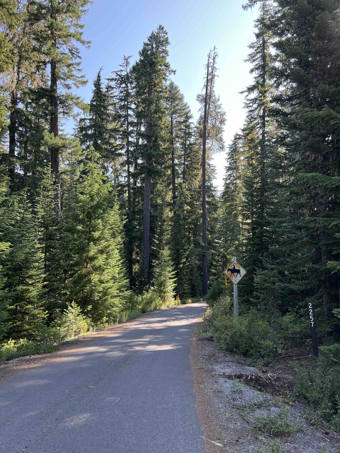
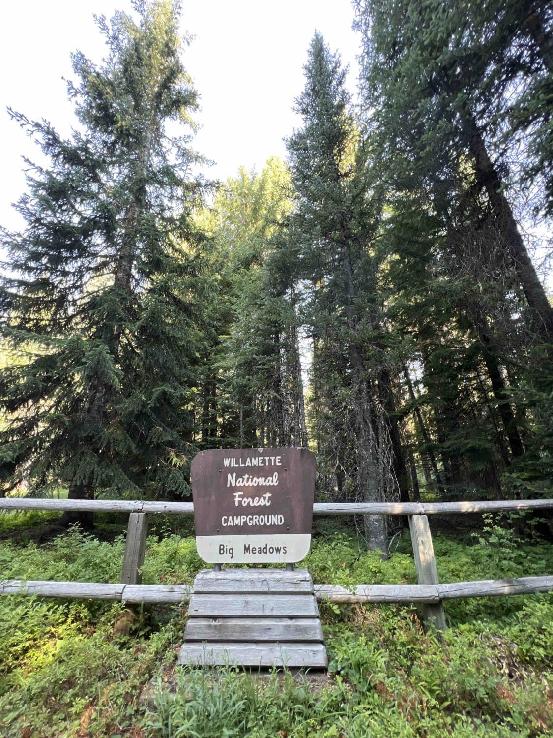
Horn Creek 2257 is located just west of the Mount Jefferson Wilderness area in the heart of the 1.7 million-acre Willamette National Forest. This starts and ends as a paved route, however, the pavement is in bad shape. This route is not recommended for low clearance vehicles due to the very technical, slow-moving maneuverability issues with off-camber roads, boulders in the middle of the road, over-hanging trees, fallen debris, landslides, flash floods, sunken grades, washed-out sections, and narrow roads that cause pin striping. Elevation gain on this trail is roughly 1,600 feet from Highway 22. Several spur trails lead off this route to hiking, biking, and horseback riding trails which consist of miles of backcountry activities. Beautiful lakes with dispersed camping are found off spur trails, however, they are primitive with no running water or restrooms. Northwest Forest Pass is required at all trailheads unless you have the recreation.gov/mobile-app where fees can be paid. The WNF gives out free firewood cutting permits for up to 6 cords of wood per year and is available through your local ranger station. There is a lot of wildlife in this area, including chipmunks, black bears, northern spotted owls, mule deer, bald eagles, Chinook salmon, black-tailed deer, bull trout, black bear, cougar, southern red-backed vole, elk, and wolverine. Plants such as Pacific Trillium, beargrass western bunchberry, pacific rhododendron, Douglas-fir, and cascade Oregon-grape abound. This route is best enjoyed from March 1st through November 1st. The gates close for the winter due to weather conditions, however the trail is still accessible by cross-country skiing or snowshoeing.
Photos of Horn Creek 2257
Difficulty
The road is primitive and unmaintained, with rocks, fallen trees with low height clearance, narrow roads that cause pinstriping, sunken grades, and washouts. Signs are posted warning adventurers of said issues.
Status Reports
Horn Creek 2257 can be accessed by the following ride types:
- High-Clearance 4x4
- SUV
- SxS (60")
- ATV (50")
- Dirt Bike
Horn Creek 2257 Map
Popular Trails


Upside - Trail 490
The onX Offroad Difference
onX Offroad combines trail photos, descriptions, difficulty ratings, width restrictions, seasonality, and more in a user-friendly interface. Available on all devices, with offline access and full compatibility with CarPlay and Android Auto. Discover what you’re missing today!