Harriet Lake 4630
Total Miles
4.0
Technical Rating
Best Time
Spring, Summer, Fall
Trail Type
Full-Width Road
Accessible By
Trail Overview
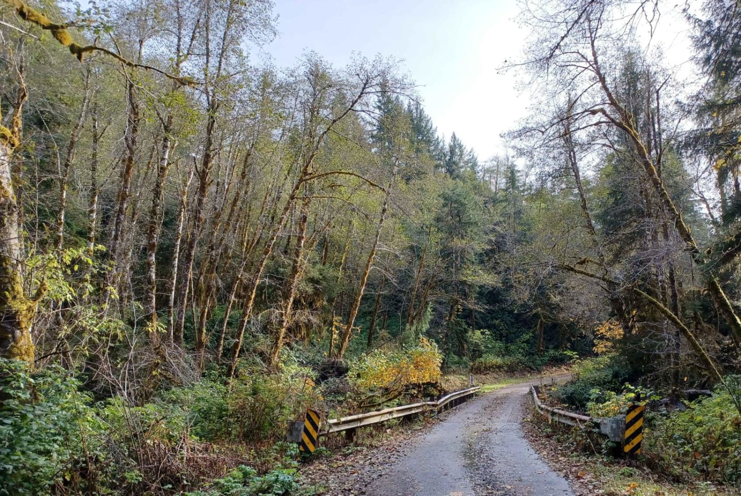
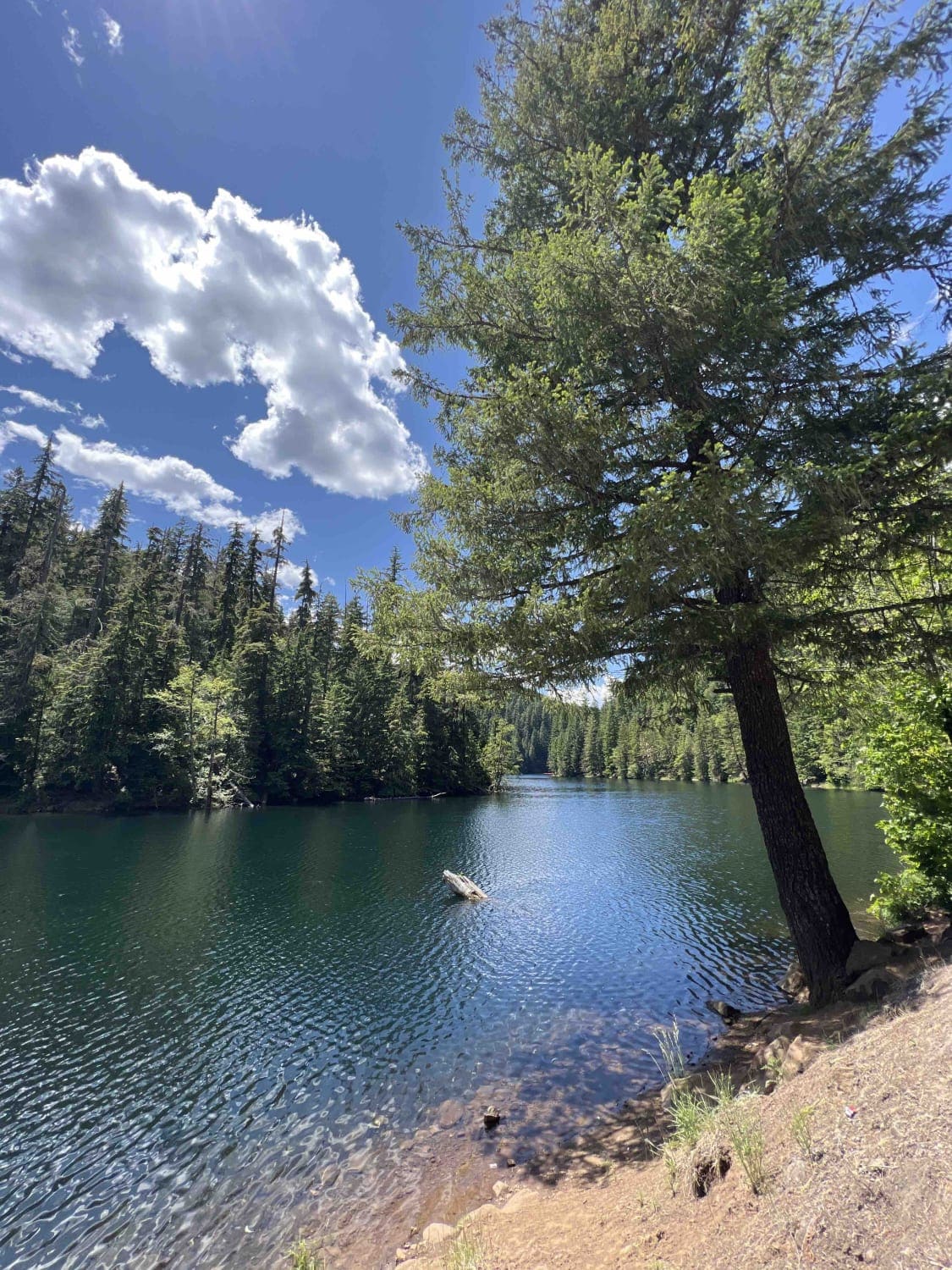
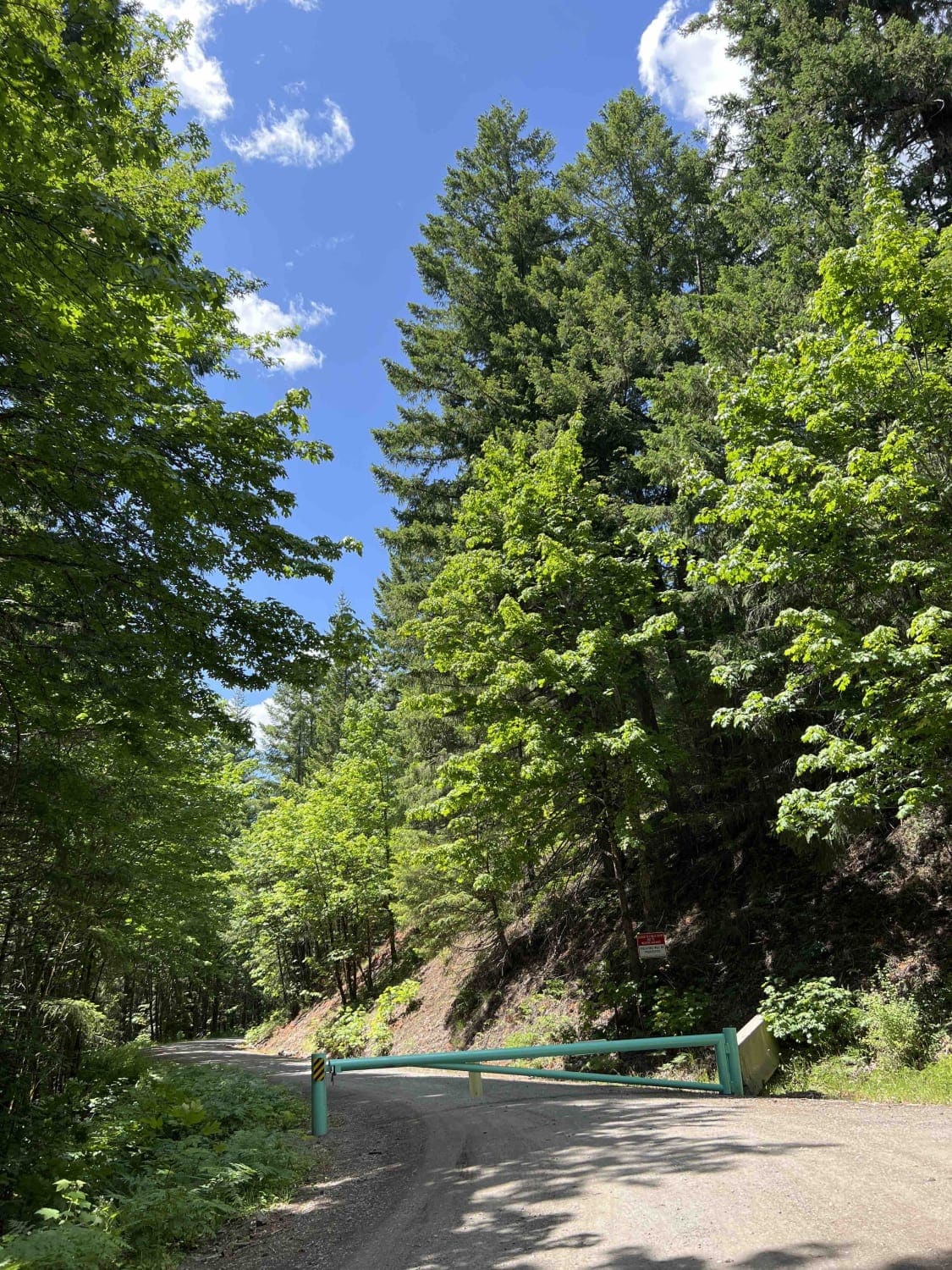
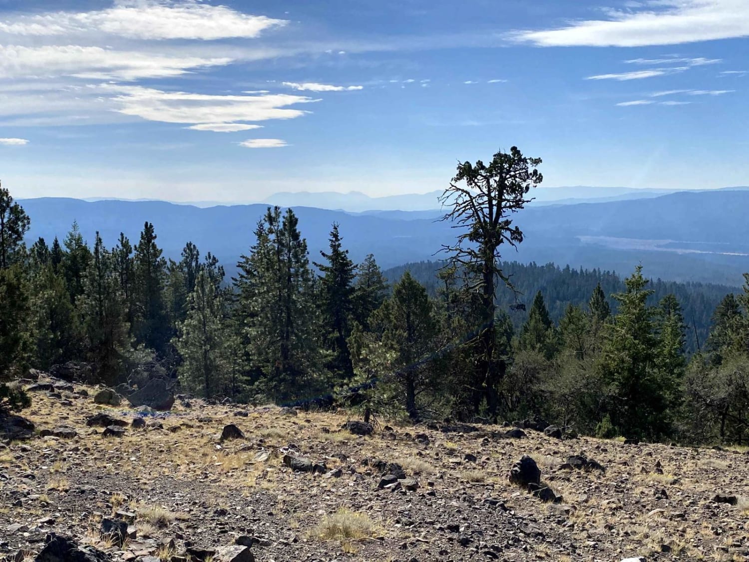
Harriet Lake 4630 is an easy gravel road which is situated in the Mount Hood National Forest off Forest Road 57. The Mount Hood National Forest encompasses 1.1 million acres and is located in the Cascade Mountain Range in Oregon. This route takes you on a four-mile trek through the forest where the glacier-fed Harriet Lake sits and parallels this route. You can find activities like camping fishing, hiking, biking, boating, kayaking, and swimming. There are pit restrooms at the campsites along with another pit restroom at the day-use area. There is a $26.00 fee to camp and a $10.00 fee for the day-use area. The Mount Hood Recreation Pass is required in certain areas beyond this point and at trailheads in this forest. Please see your local ranger station in Welches, Oregon. There you can pay for your pass and also get local information regarding hikes, camping and other trail information. Be mindful that we are in a beautiful forest that we share with hundreds of different plant and wildlife species. Pack it in and pack it out rules apply here along with tread lightly. Bears, wolves, elk, deer, and beaver can all be found in this forest. Mount Hood is an active but dormant volcano so be mindful that an eruption at any point could happen, however, there hasn't been activity in over 200 years.
Photos of Harriet Lake 4630
Difficulty
Road is well maintained but there are a few pot holes, road is one lane with areas to pass.
Status Reports
Harriet Lake 4630 can be accessed by the following ride types:
- High-Clearance 4x4
- SUV
- SxS (60")
- ATV (50")
- Dirt Bike
Harriet Lake 4630 Map
Popular Trails

Sourgrass Ridge
The onX Offroad Difference
onX Offroad combines trail photos, descriptions, difficulty ratings, width restrictions, seasonality, and more in a user-friendly interface. Available on all devices, with offline access and full compatibility with CarPlay and Android Auto. Discover what you’re missing today!


