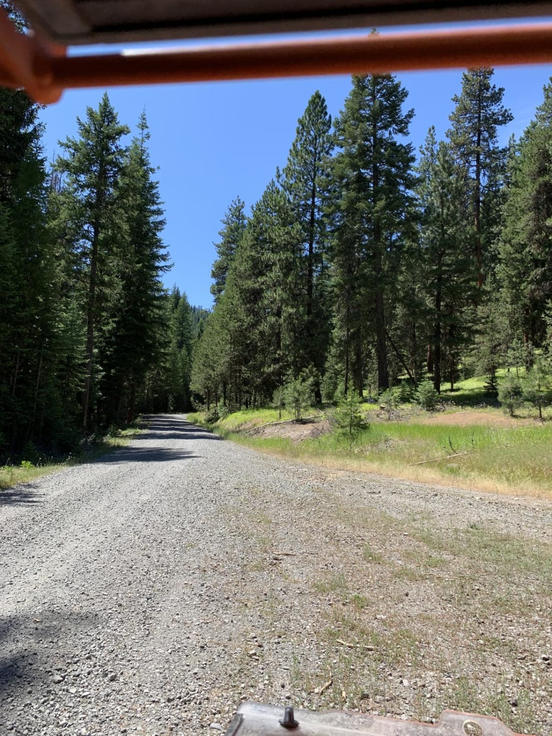
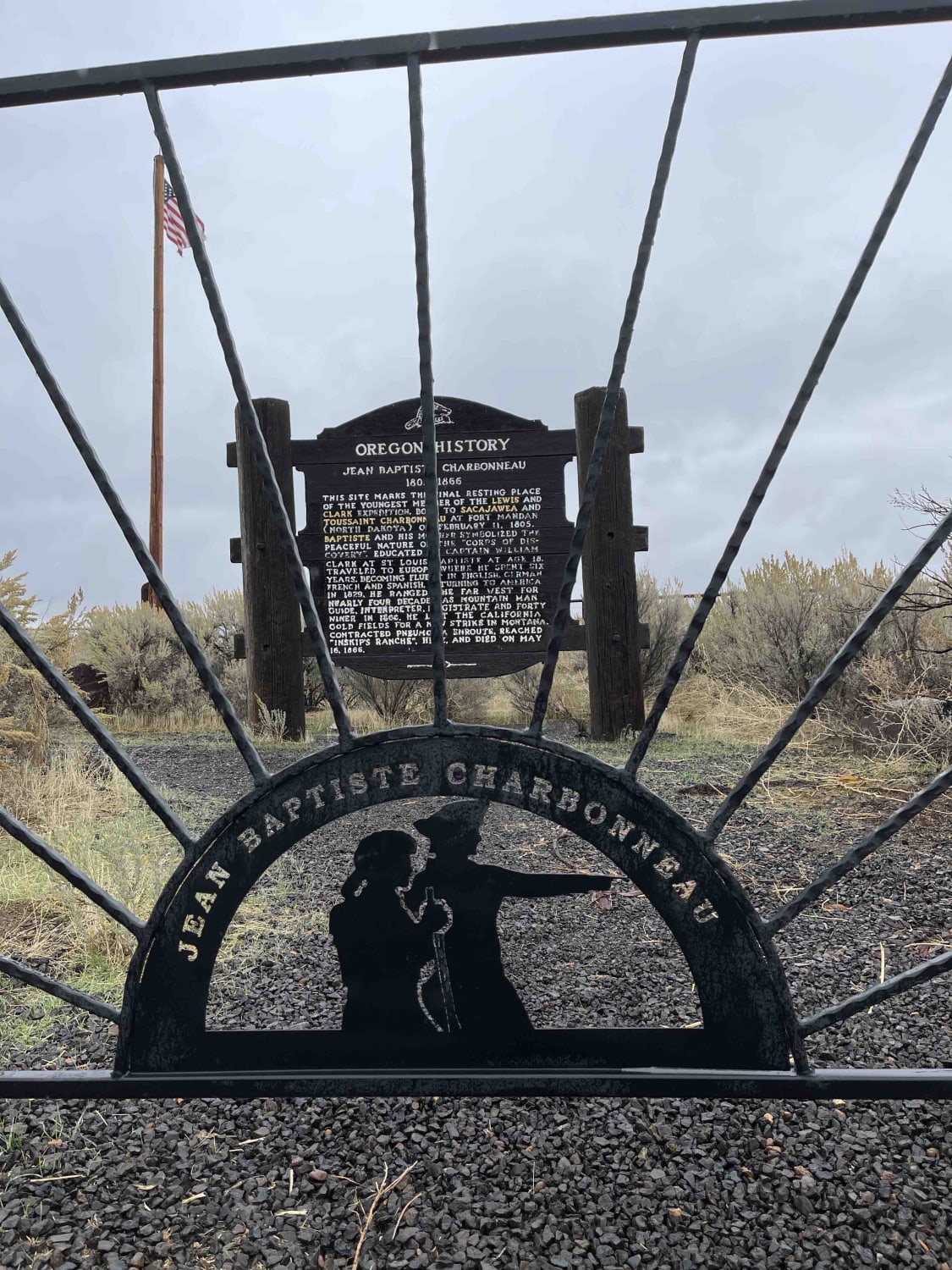
Off-Road Trails in Oregon
Discover off-road trails in Oregon
Learn more about Crescent Lake Trail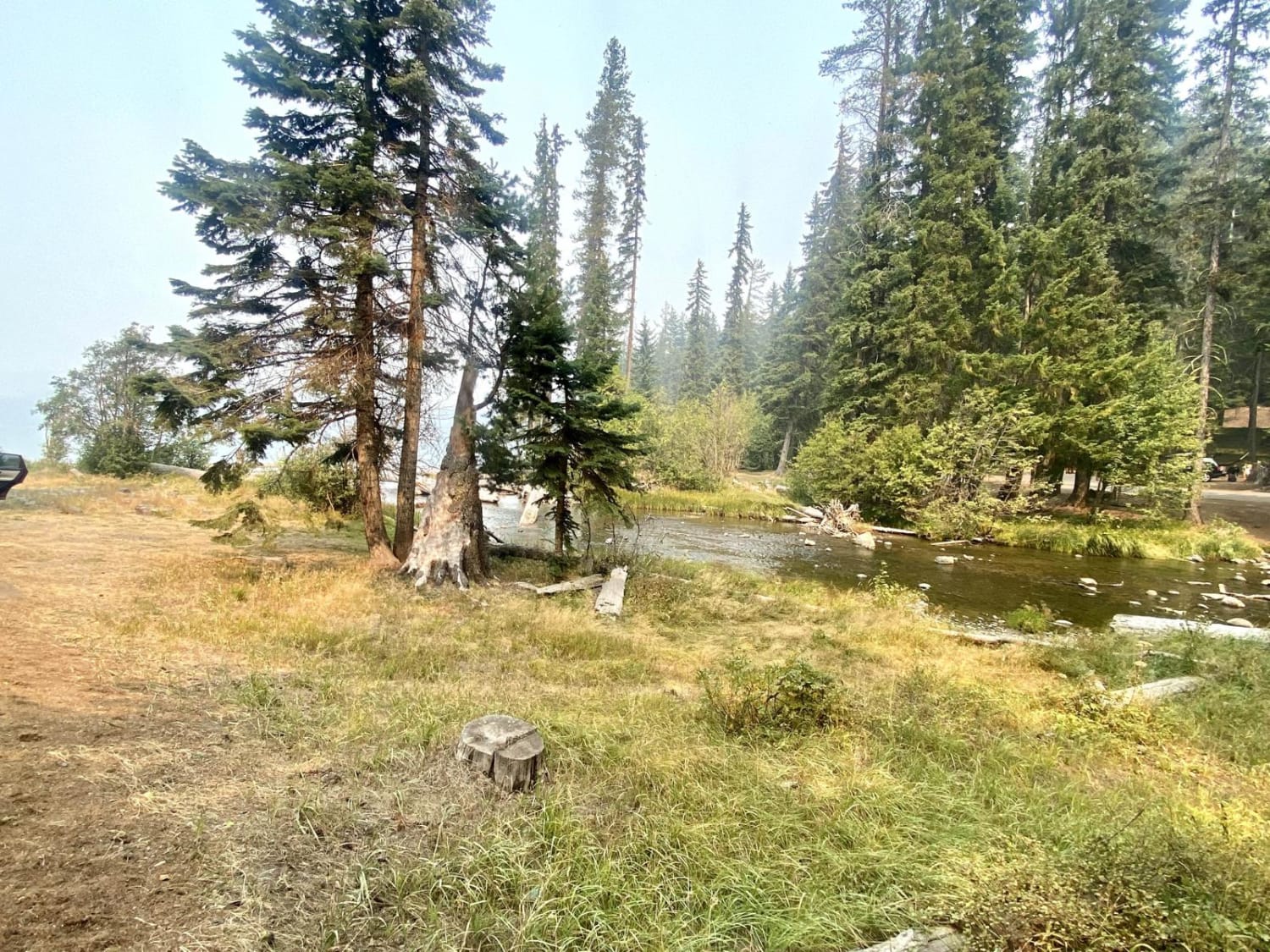
Crescent Lake Trail
Total Miles
12.7
Tech Rating
Easy
Best Time
Spring, Summer
Learn more about Crooked Bridge #3
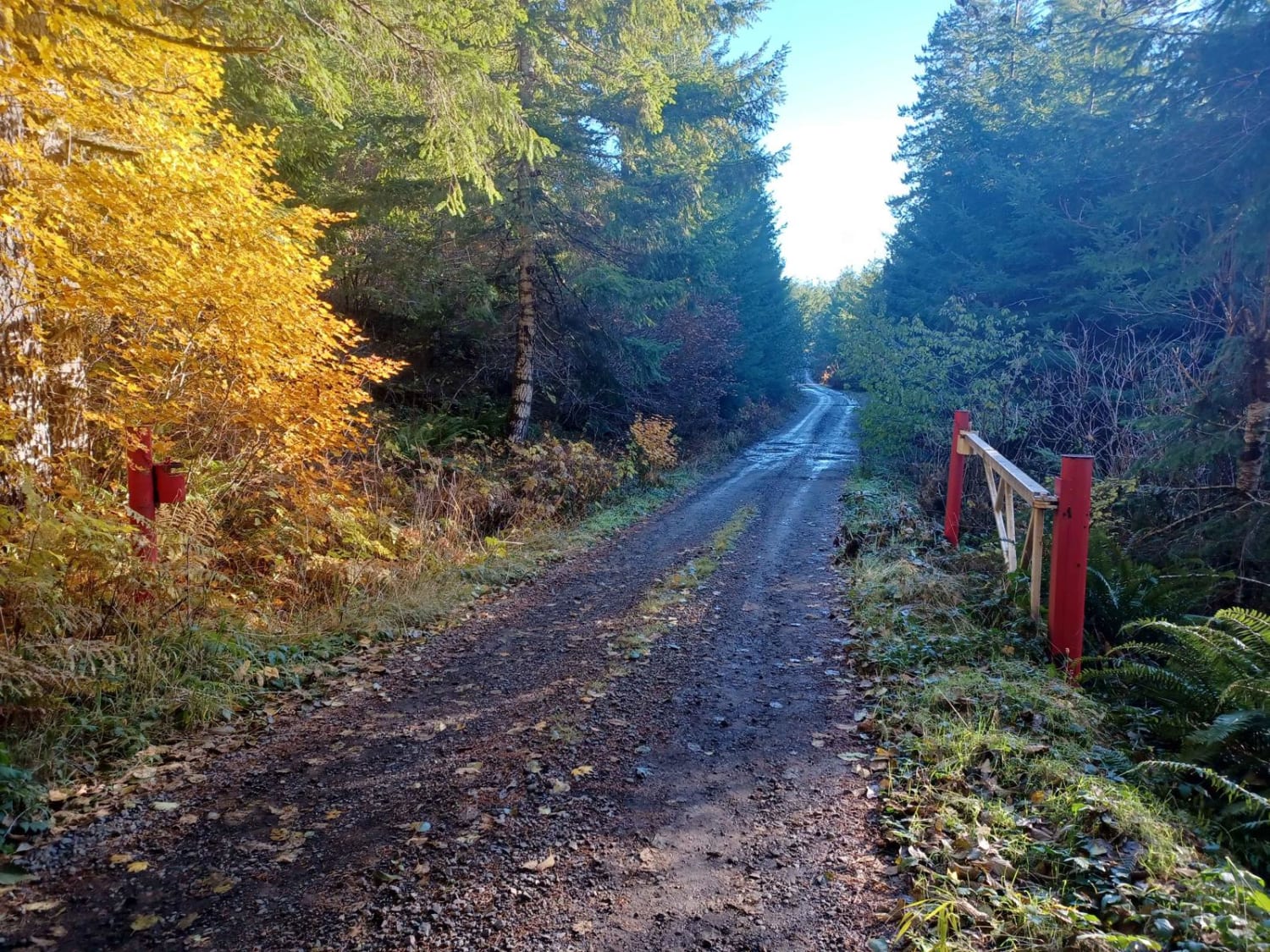
Crooked Bridge #3
Total Miles
1.3
Tech Rating
Easy
Best Time
Spring, Fall
Learn more about Cross Canyon - FS 6217
Cross Canyon - FS 6217
Total Miles
5.5
Tech Rating
Easy
Best Time
Spring, Summer, Fall
Learn more about Cross Over Road
Cross Over Road
Total Miles
2.0
Tech Rating
Easy
Best Time
Spring, Summer, Fall, Winter
Learn more about Cultus Mountain Trail
Cultus Mountain Trail
Total Miles
15.3
Tech Rating
Moderate
Best Time
Spring, Summer, Fall
Learn more about Danner Loop to Cow Creek
Danner Loop to Cow Creek
Total Miles
8.5
Tech Rating
Easy
Best Time
Fall, Summer, Spring
Learn more about Dead Horse Revenge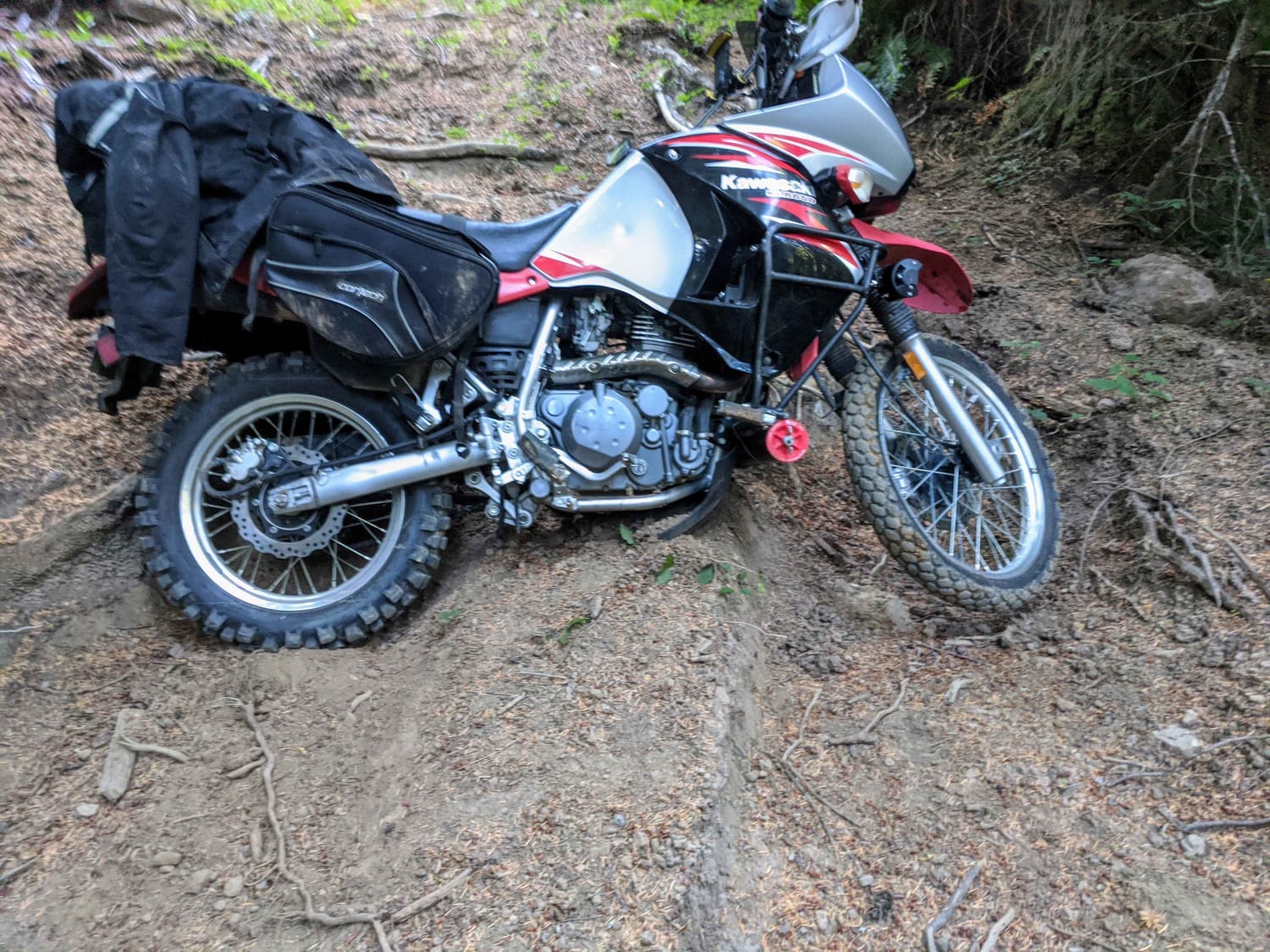
Dead Horse Revenge
Total Miles
3.5
Tech Rating
Moderate
Best Time
Summer, Fall
Learn more about Dead Point - FS 2820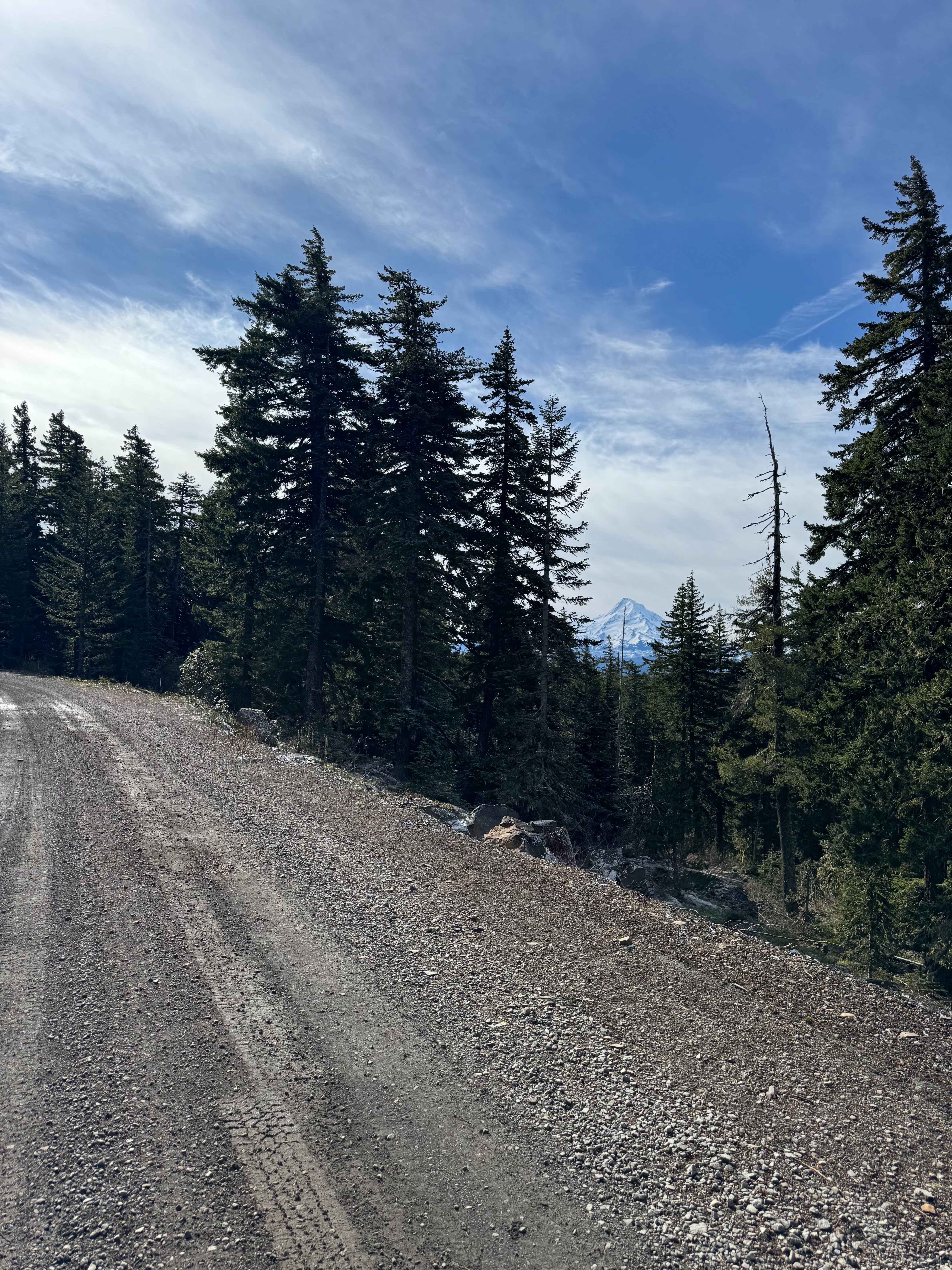
Dead Point - FS 2820
Total Miles
5.7
Tech Rating
Easy
Best Time
Spring, Summer, Fall
Learn more about Deception Butte
Deception Butte
Total Miles
4.8
Tech Rating
Easy
Best Time
Spring, Summer, Fall, Winter

Learn more about Delaura Dune Trail
Delaura Dune Trail
Total Miles
0.5
Tech Rating
Difficult
Best Time
Spring, Summer, Fall
Learn more about Derby Creek Road
Derby Creek Road
Total Miles
5.8
Tech Rating
Easy
Best Time
Spring, Summer, Fall, Winter
Learn more about Devils Garden 2
Devils Garden 2
Total Miles
5.8
Tech Rating
Easy
Best Time
Spring, Summer, Fall
Learn more about Diamond Craters Auto Tour Route
Diamond Craters Auto Tour Route
Total Miles
4.9
Tech Rating
Easy
Best Time
Spring, Summer, Fall

Learn more about Dirt Road Dash
Dirt Road Dash
Total Miles
5.1
Tech Rating
Easy
Best Time
Spring, Summer, Fall
Learn more about Doe Head Mountain
Doe Head Mountain
Total Miles
2.0
Tech Rating
Easy
Best Time
Spring, Summer, Fall
ATV trails in Oregon


UTV/side-by-side trails in Oregon
Learn more about 10 Mile OHV Trail
10 Mile OHV Trail
Total Miles
1.6
Tech Rating
Easy
Best Time
Spring, Summer, Fall


The onX Offroad Difference
onX Offroad combines trail photos, descriptions, difficulty ratings, width restrictions, seasonality, and more in a user-friendly interface. Available on all devices, with offline access and full compatibility with CarPlay and Android Auto. Discover what you’re missing today!