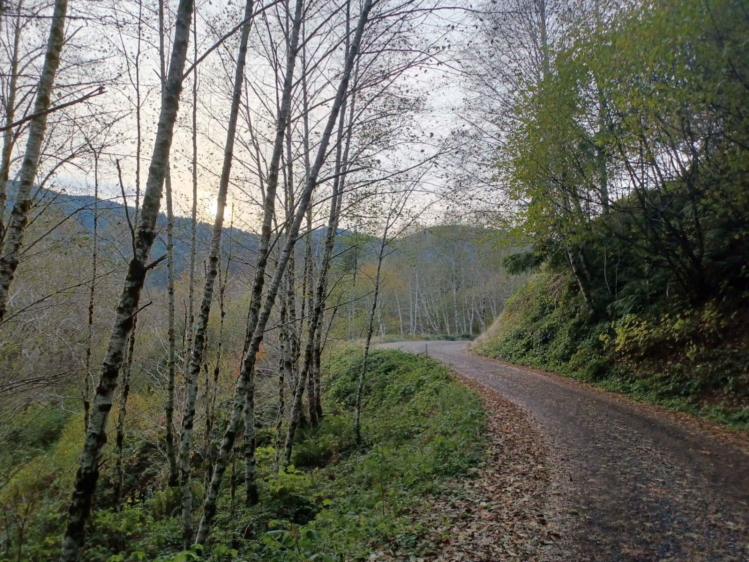
Off-Road Trails in Oregon
Discover off-road trails in Oregon
Learn more about Calfhead T.S.
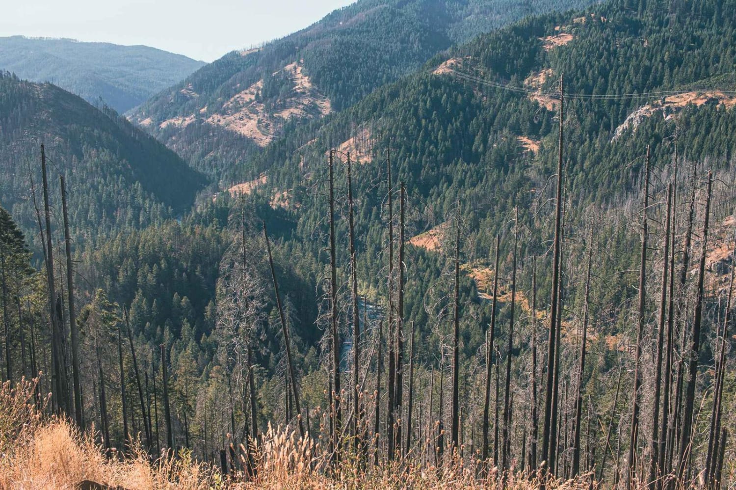
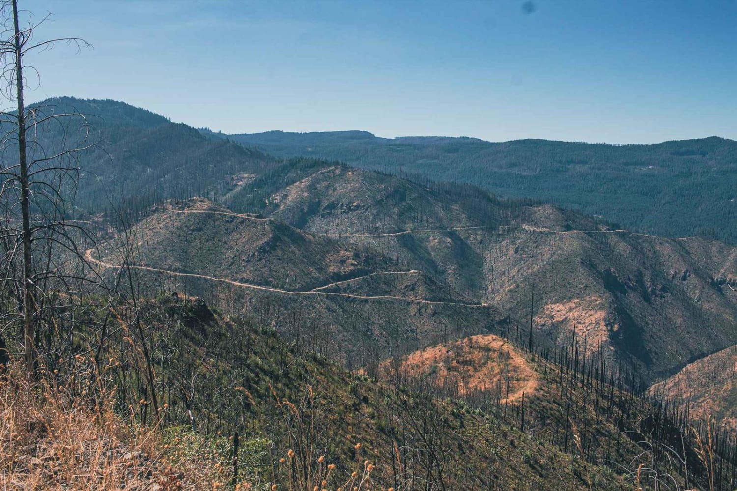
Calfhead T.S.
Total Miles
2.4
Tech Rating
Easy
Best Time
Spring, Summer, Fall
Learn more about Calfhead T.S.
Calfhead T.S.
Total Miles
2.4
Tech Rating
Easy
Best Time
Spring, Summer, Fall
Learn more about Camp Kettle Creek Road Trail
Camp Kettle Creek Road Trail
Total Miles
2.9
Tech Rating
Easy
Best Time
Summer, Spring, Fall
Learn more about Cape Creek - FS 1057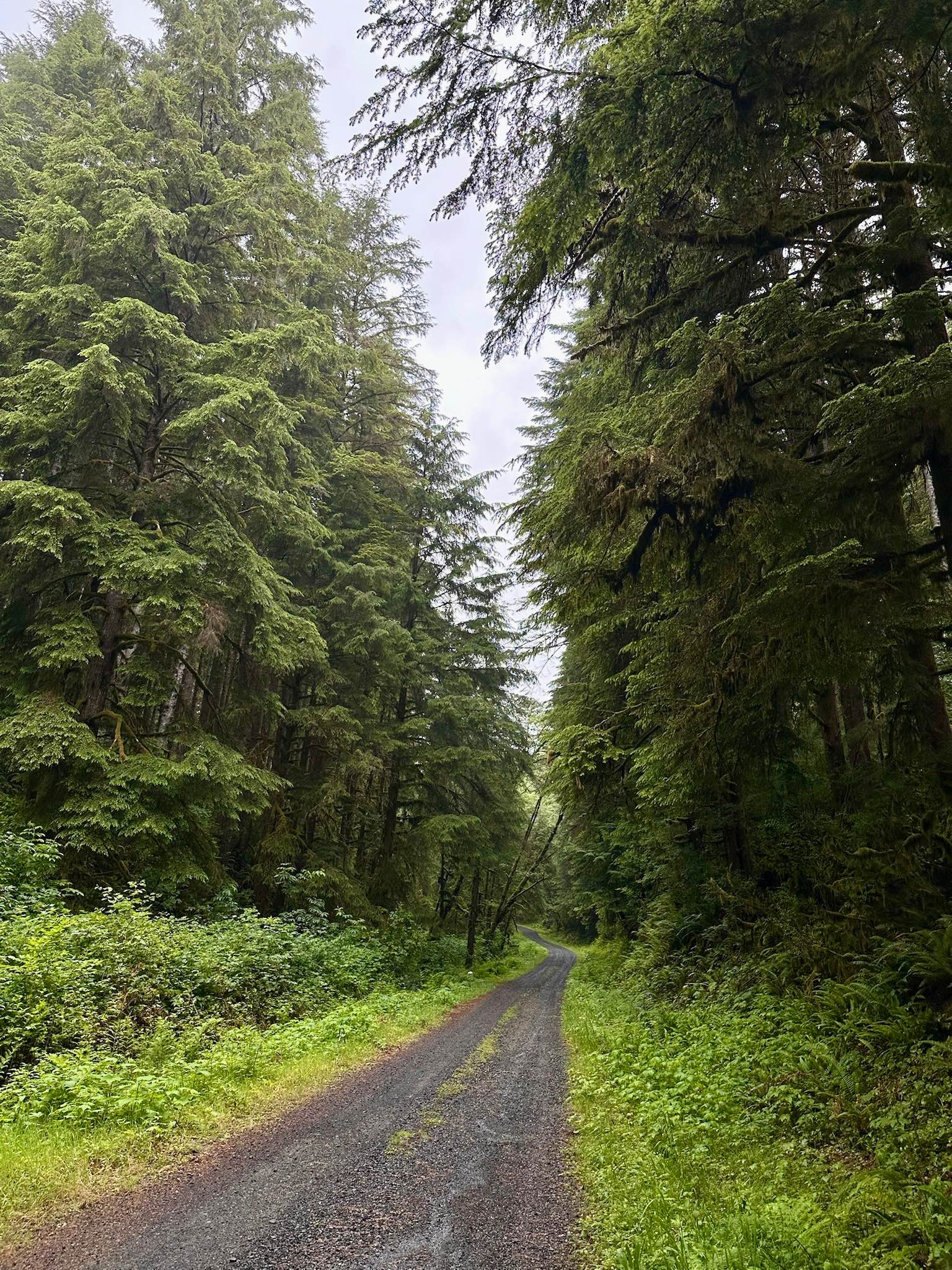
Cape Creek - FS 1057
Total Miles
8.8
Tech Rating
Moderate
Best Time
Spring, Summer, Fall
Learn more about Carlson Creek Road
Carlson Creek Road
Total Miles
2.9
Tech Rating
Easy
Best Time
Spring, Summer, Fall, Winter
Learn more about Cedar Butte Road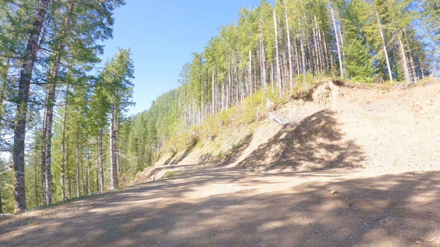
Cedar Butte Road
Total Miles
6.7
Tech Rating
Easy
Best Time
Spring, Summer, Fall
Learn more about Cedar Tree - Jeep Badge of Honor Trail
Cedar Tree - Jeep Badge of Honor Trail
Total Miles
3.9
Tech Rating
Moderate
Best Time
Spring, Summer, Fall, Winter
Learn more about Chesley's Challenge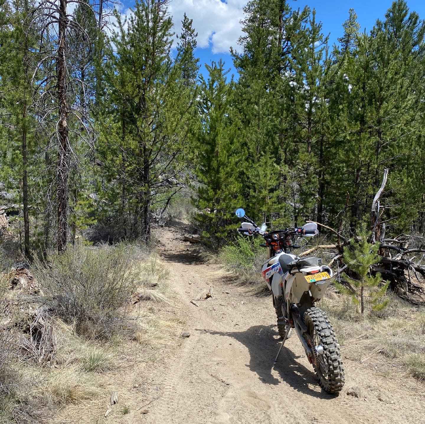
Chesley's Challenge
Total Miles
40.1
Tech Rating
Difficult
Best Time
Spring, Fall
Learn more about Christmas Lake Valley and Fossil Lake
Christmas Lake Valley and Fossil Lake
Total Miles
17.6
Tech Rating
Easy
Best Time
Spring, Summer, Fall
Learn more about Christmas Valley Desert Crossing
Christmas Valley Desert Crossing
Total Miles
31.8
Tech Rating
Easy
Best Time
Spring, Summer, Fall
Learn more about Cinder Butte Viewpoint
Cinder Butte Viewpoint
Total Miles
13.9
Tech Rating
Moderate
Best Time
Spring, Fall, Winter

Learn more about Clear Lake 2660
Clear Lake 2660
Total Miles
7.9
Tech Rating
Easy
Best Time
Fall, Summer, Spring
Learn more about Cline Butes Flow Trail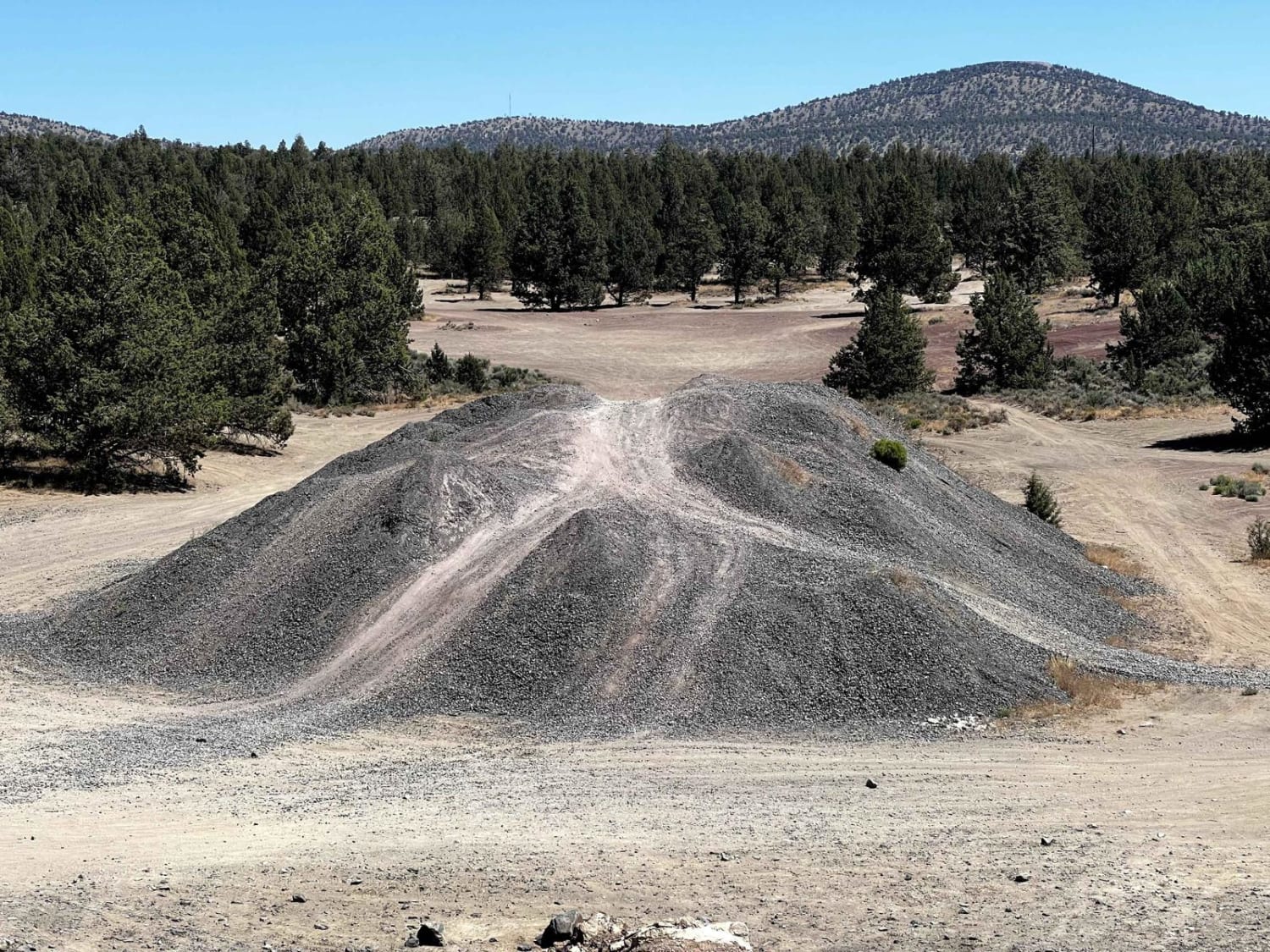
Cline Butes Flow Trail
Total Miles
1.6
Tech Rating
Easy
Best Time
Summer, Spring, Fall
Learn more about Cline Butte Meadow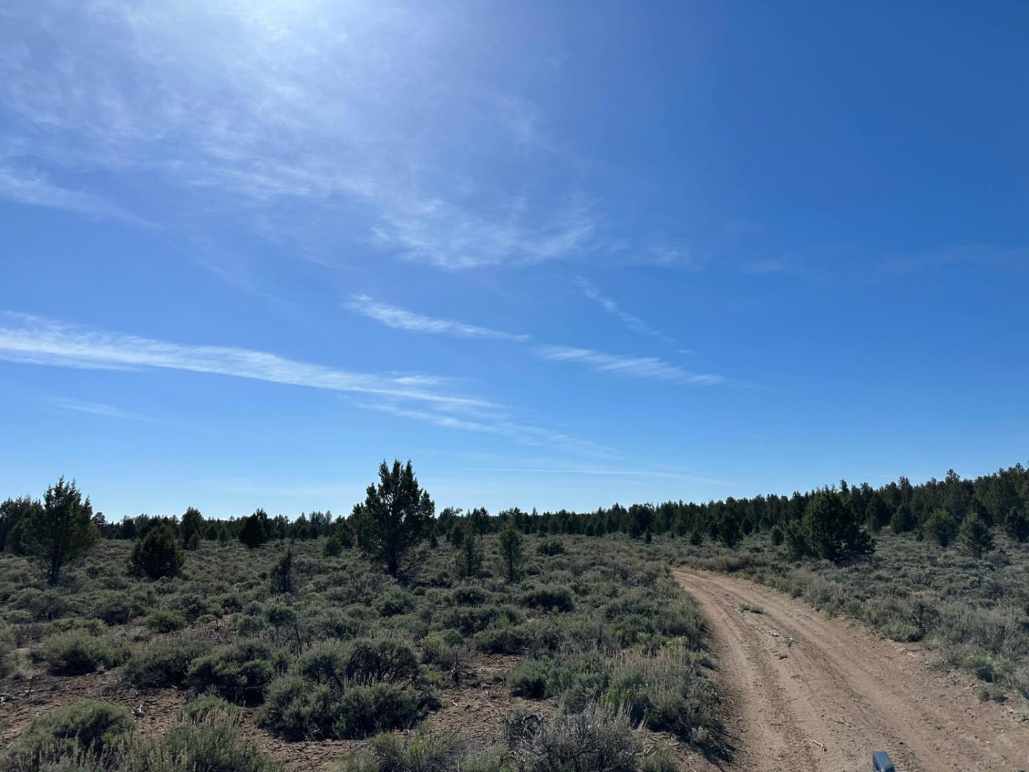
Cline Butte Meadow
Total Miles
2.0
Tech Rating
Easy
Best Time
Spring, Summer, Fall, Winter
Learn more about Cline Butte Trail 31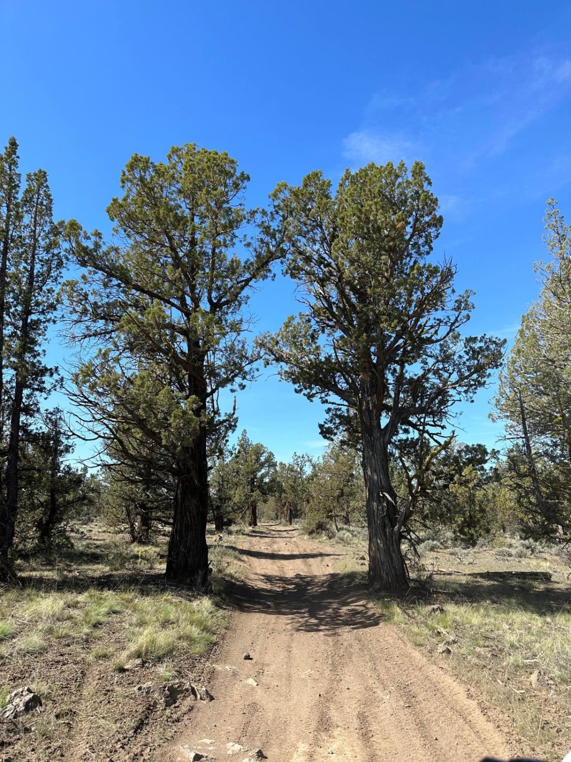
Cline Butte Trail 31
Total Miles
4.1
Tech Rating
Easy
Best Time
Spring, Summer, Fall, Winter
Learn more about Clinger Trail Hood NF
Clinger Trail Hood NF
Total Miles
6.2
Tech Rating
Easy
Best Time
Summer, Fall
ATV trails in Oregon


UTV/side-by-side trails in Oregon
Learn more about 10 Mile OHV Trail
10 Mile OHV Trail
Total Miles
1.6
Tech Rating
Easy
Best Time
Spring, Summer, Fall


The onX Offroad Difference
onX Offroad combines trail photos, descriptions, difficulty ratings, width restrictions, seasonality, and more in a user-friendly interface. Available on all devices, with offline access and full compatibility with CarPlay and Android Auto. Discover what you’re missing today!