Clear Lake 2660
Total Miles
7.9
Technical Rating
Best Time
Fall, Summer, Spring
Trail Type
Full-Width Road
Accessible By
Trail Overview
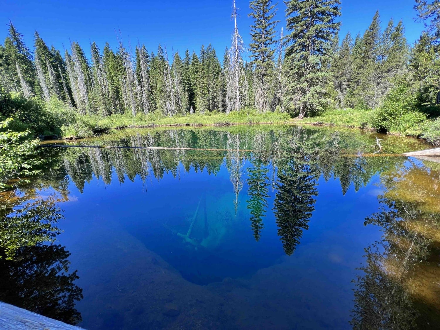
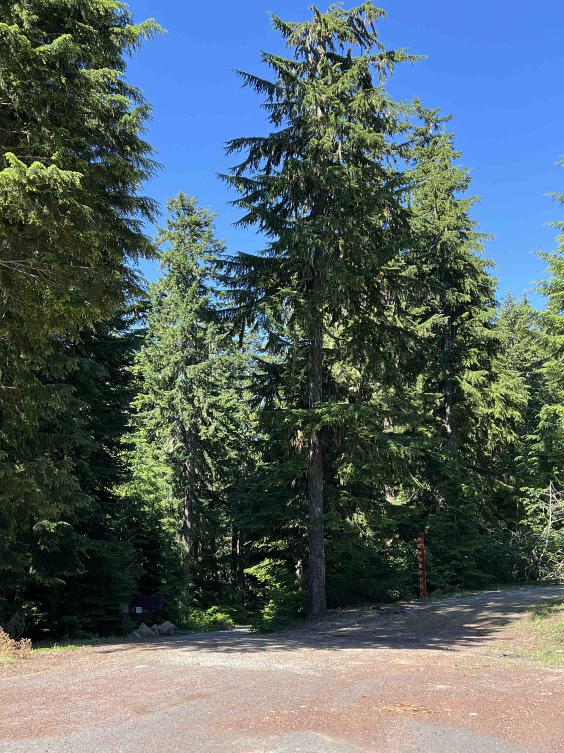
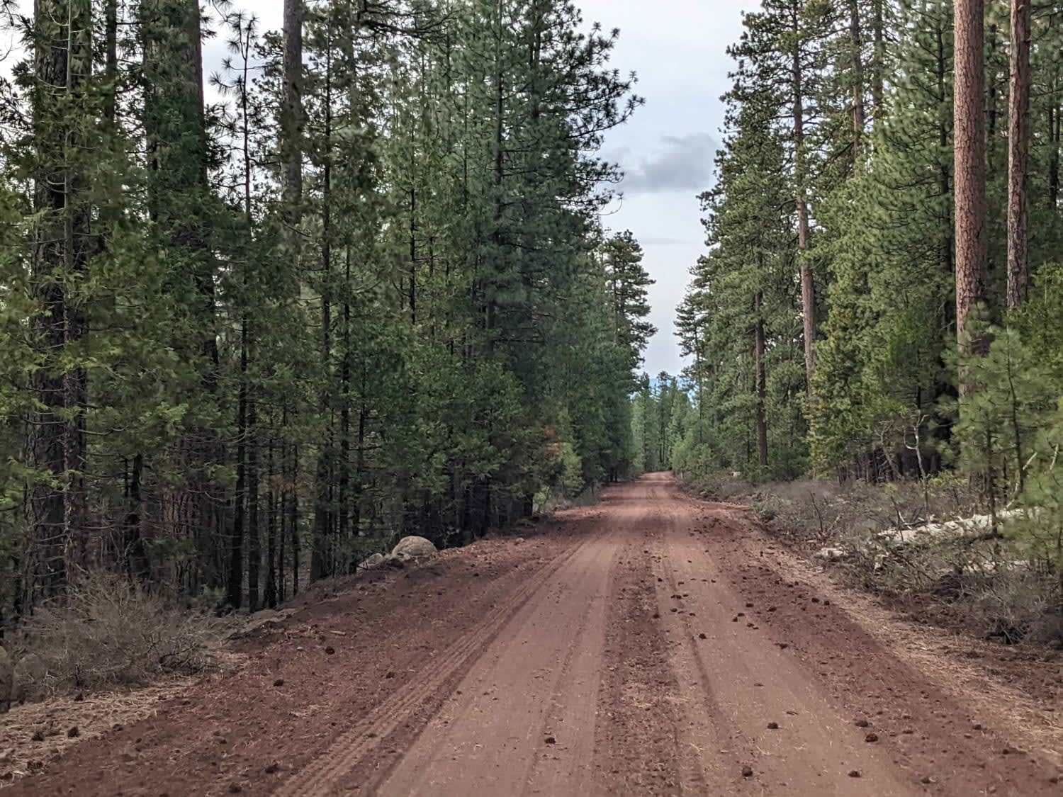
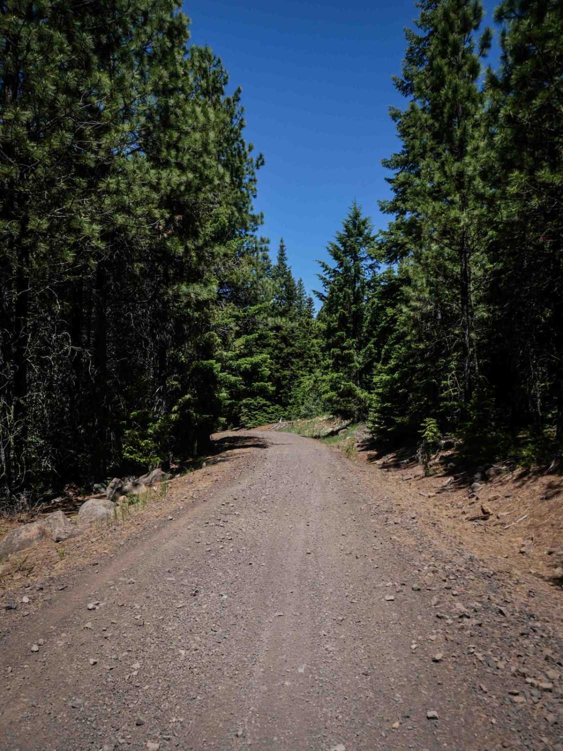
Clear Lake 2660 is the gateway to one of the most beautifully colored and historic lakes in the United States called Little Crater Lake which was named after Crater Lake. This route is about 7 miles long and winds through the Mount Hood National Forest which encompasses 1.1 million acres in the Cascade Mountain Range in northwest Oregon. It's an easy gravel road, however, the last section is paved but is in need of serious repair. There are large potholes so low clearance vehicles aren't advised. Once you turn off of Highway 26 your first area of interest will be the Blue Box Trail which is a 3.7-mile hiking trail that connects to the Pacific Crest Trail. Going east on this trail will lead you to the famous Clear Lake where there is a designated state campsite to include restrooms, day use, a boat launch, picnic tables, fire pits, and barbeques for the public to use. The fees for camping are $26.00 a night and day-use fees are $10.00 unless you have the Mount Hood Recreation Pass. This route leads you on a scenic journey with views of Mount Hood which is lined on the western side with Douglas Fir, Western Red Cedar, and Noble Fir. On the eastern side, you will find Ponderosa Pine, Big-leaf Maple, Vine Maple, and Black Cottonwood. Elk, deer, wolves, cougar, bobcats, spotted owls, woodpeckers, and crawdads are some of the wildlife you will see out here while visiting. The MHNF has a pack it in and pack it out rule so be mindful and prepare to take your trash with you when you leave. There are dumpsters at the Clear Lake Campground if needed. The MHNF in this area sits at an elevation of 3,114 feet and isn't accessible during the winter and early spring months due to snow accumulation. This area is best enjoyed during the late spring, summer, and fall months. Also always remember to tread lightly for the next adventurer.
Photos of Clear Lake 2660
Difficulty
Road is mostly gravel with a paved section at the end that needs serious repair and has big chunks of the pavement missing. There are spray painted areas to warn you of an upcoming hole but the holes are more than a foot deep in areas. Not advised for any low clearance vehicle.
History
This area is rich with history as early settlers explored this area and also created one of the most hiked trails in the North America's called the Pacific Crest Trail. The PCT was first put on a map in 1939 by Catherine Montgomery, Clinton Clark, Fred Cleator and Warren Rogers. Also historically is the Oregon Trail which also ran through this area in the late 1800's. Here is an interactive website with pictures of the Oregon Trail exploration. https://oregontrail-barlowroad.org/
Status Reports
Clear Lake 2660 can be accessed by the following ride types:
- High-Clearance 4x4
- SUV
- SxS (60")
- ATV (50")
- Dirt Bike
Clear Lake 2660 Map
Popular Trails
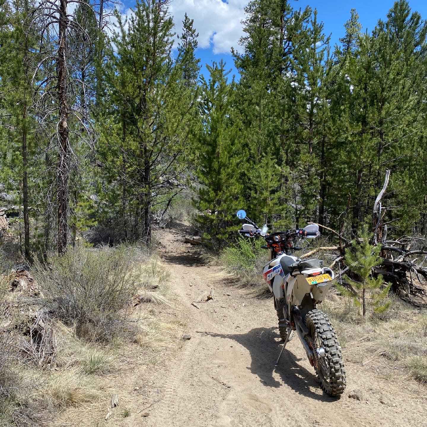
Chesley's Challenge
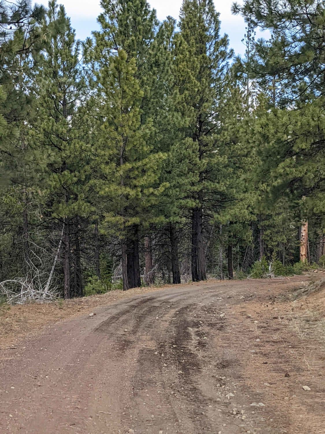
Lower Cross District Trail
The onX Offroad Difference
onX Offroad combines trail photos, descriptions, difficulty ratings, width restrictions, seasonality, and more in a user-friendly interface. Available on all devices, with offline access and full compatibility with CarPlay and Android Auto. Discover what you’re missing today!
