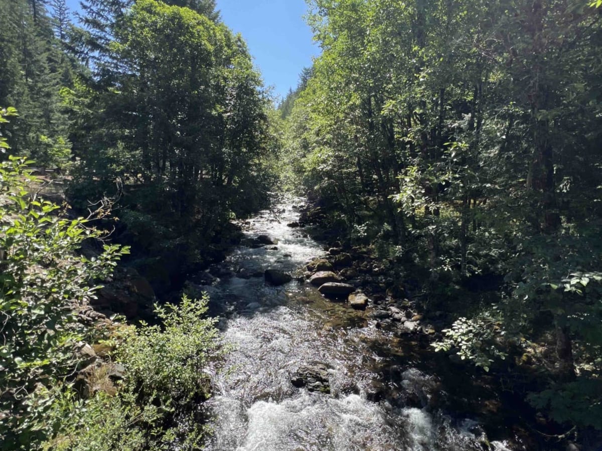
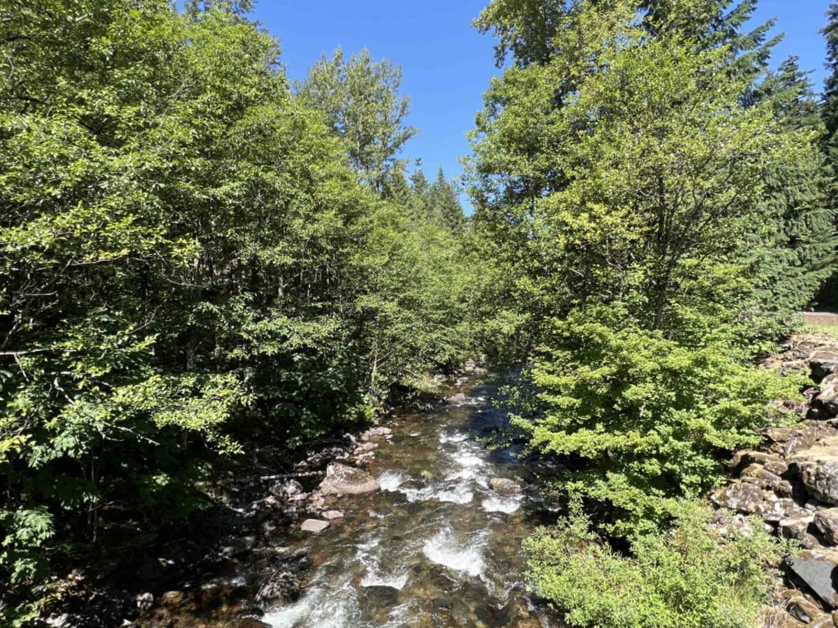
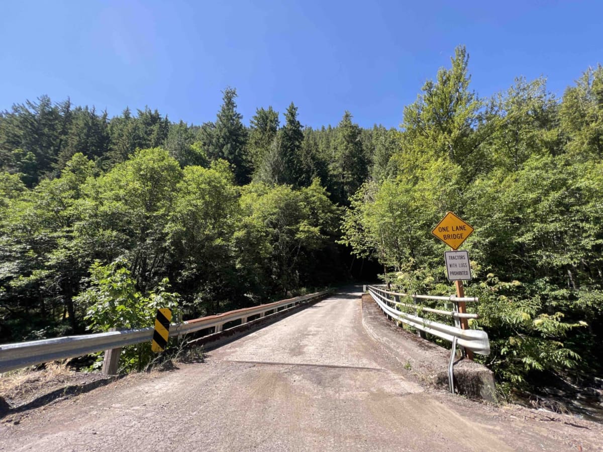
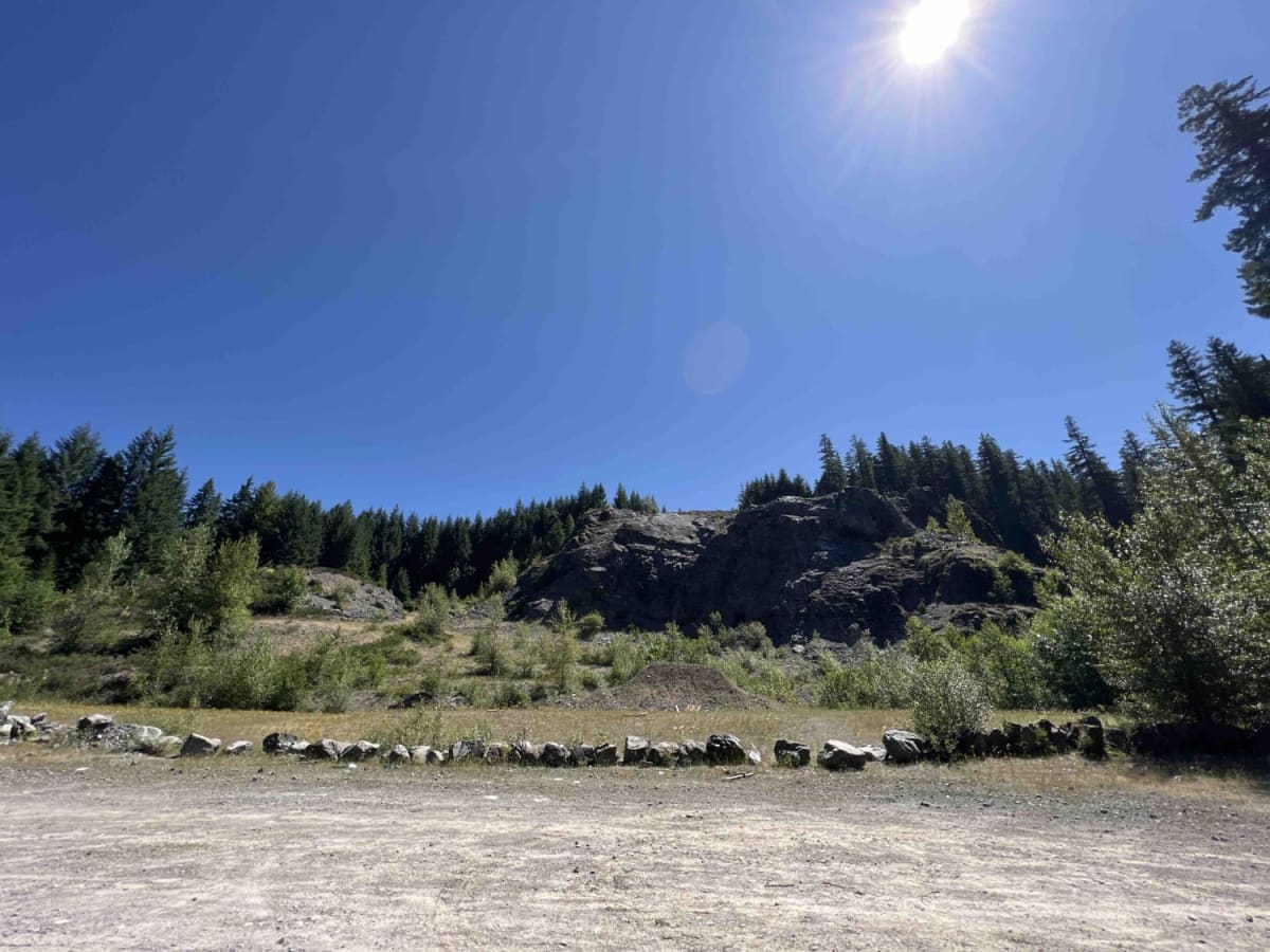
Trail Overview
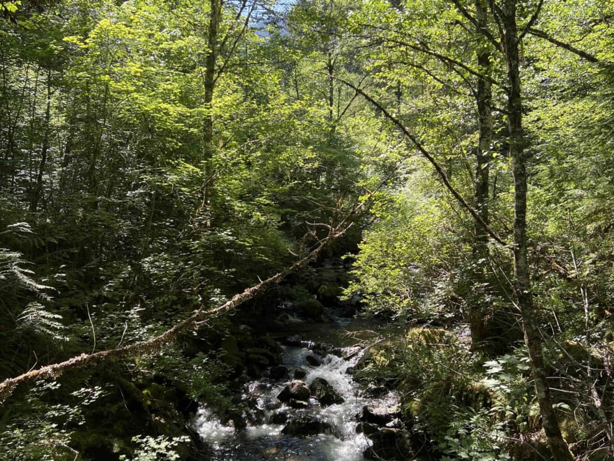
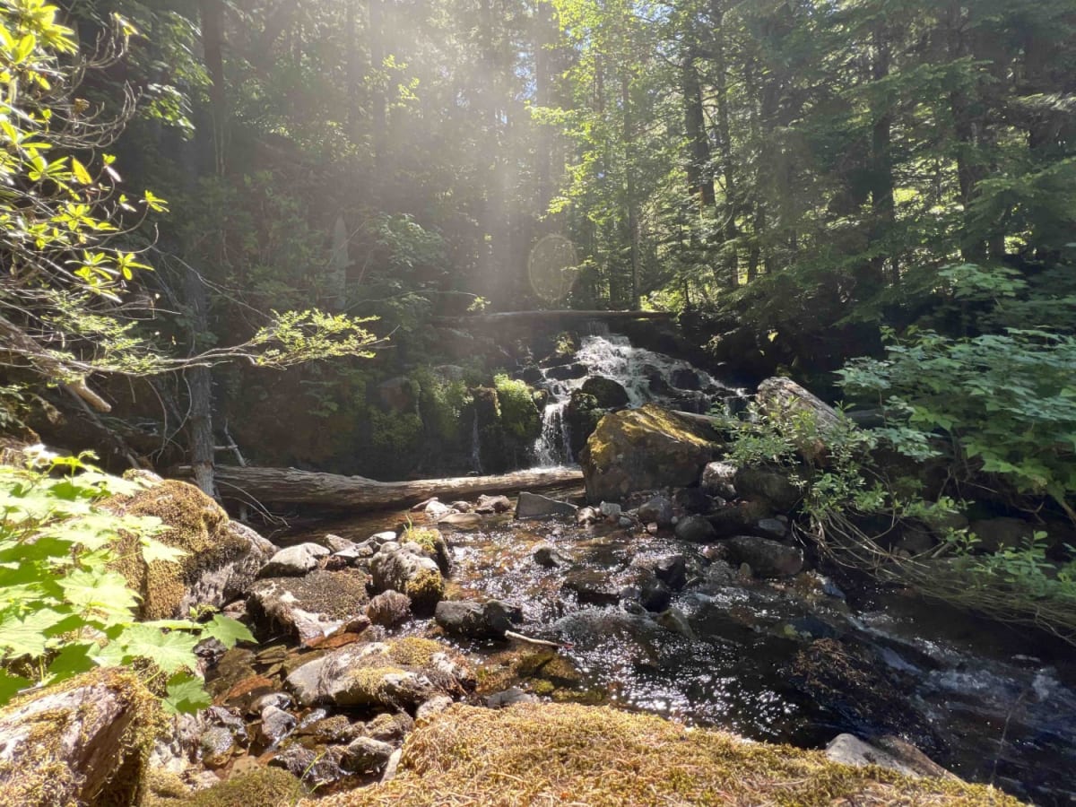
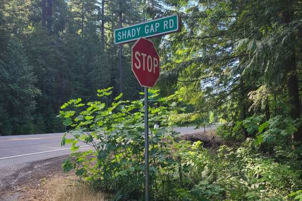
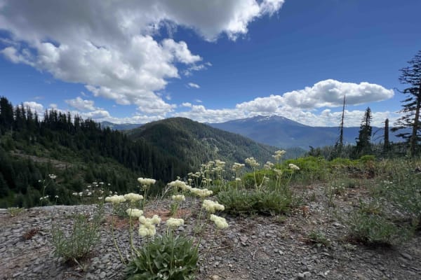
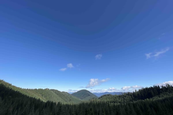
Devils Garden 2 is a 1,300-foot elevation gain trail on a winding gravel road in the 1.7 million-acre Willamette National Forest. This route leads you on a spectacular drive through the Douglas-fir forests. Waterfalls are endless and capture your attention as you take in the fresh air along the way. The gravel road is well maintained by the Forest Service, however, once you turn onto 5884390 to get to the trailhead, it's steep with large gravel and rock. There is a dispersed campsite along with lots of areas to park. Railroad workers can be in the area at any time, so make sure to not block their path to the railroad. Once at the top, there is an old tunnel that was made in 1926 with a magnificent waterfall that staircases over 1,000 feet. The Devil's Garden Trailhead begins at a rocky knob above the railroad that leads you on a 1.7-mile hike through the WNF. The WNF has over 300 different species of wildlife, including bears, so take your bear precautions and bring some spray and a whistle if you're going to hike. Most of the roads in the WNF are old and current logging roads could be in operation at any moment. Spur trails will lead to these operations, some of which are private property. The WNF allows 6 cords a year to be taken out of the forest with a permit for free which can be obtained over the phone. The weather here is pretty temperate from the late spring through early fall; it's warm and dry with some rain. This area is hard to reach during the winter due to deep snow and bad weather conditions and gates to this area can be closed without notice.