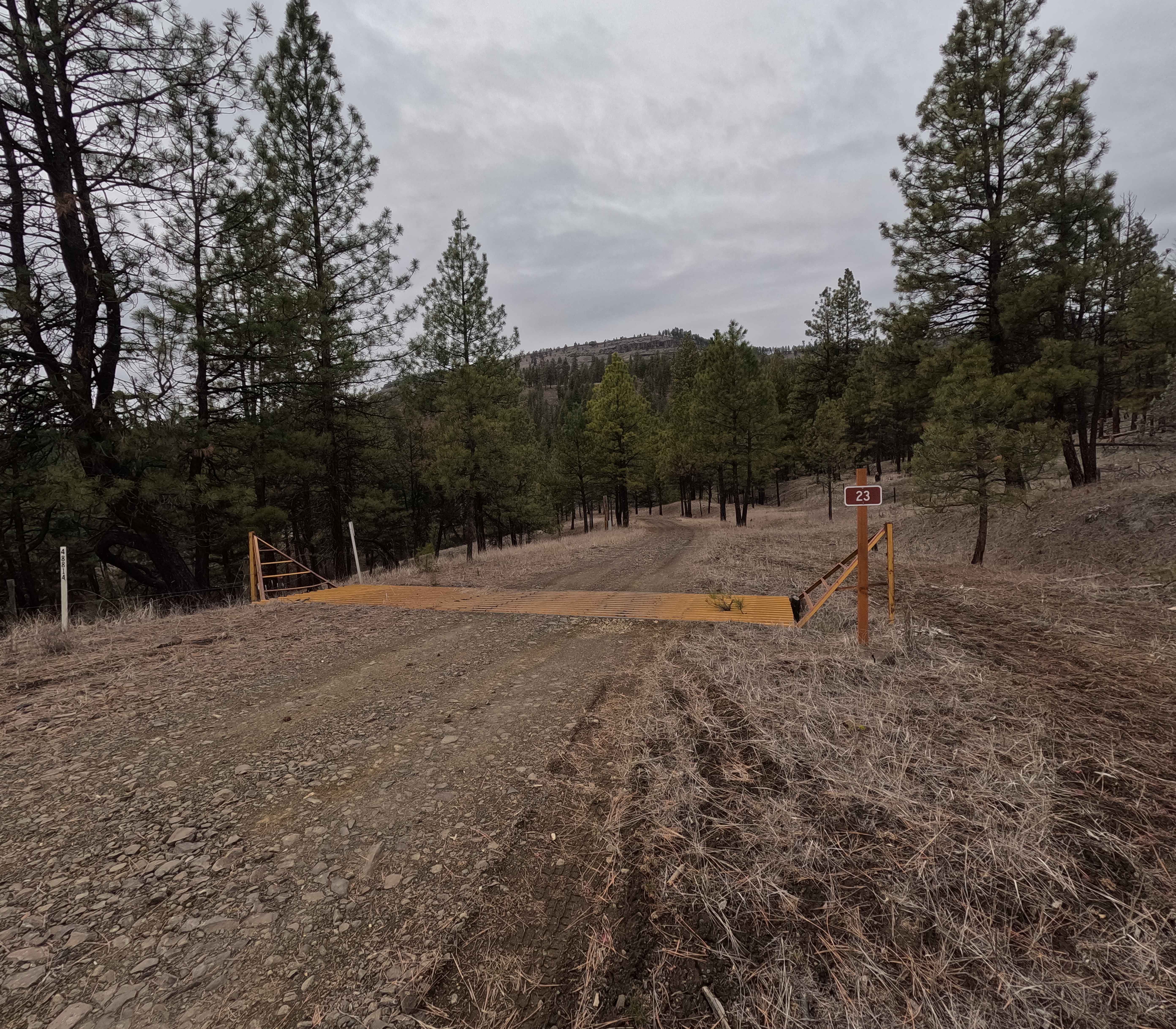
FS 23 East
Total Miles
3.2
Technical Rating
Best Time
Spring, Summer, Fall, Winter
Trail Type
Full-Width Road
Accessible By
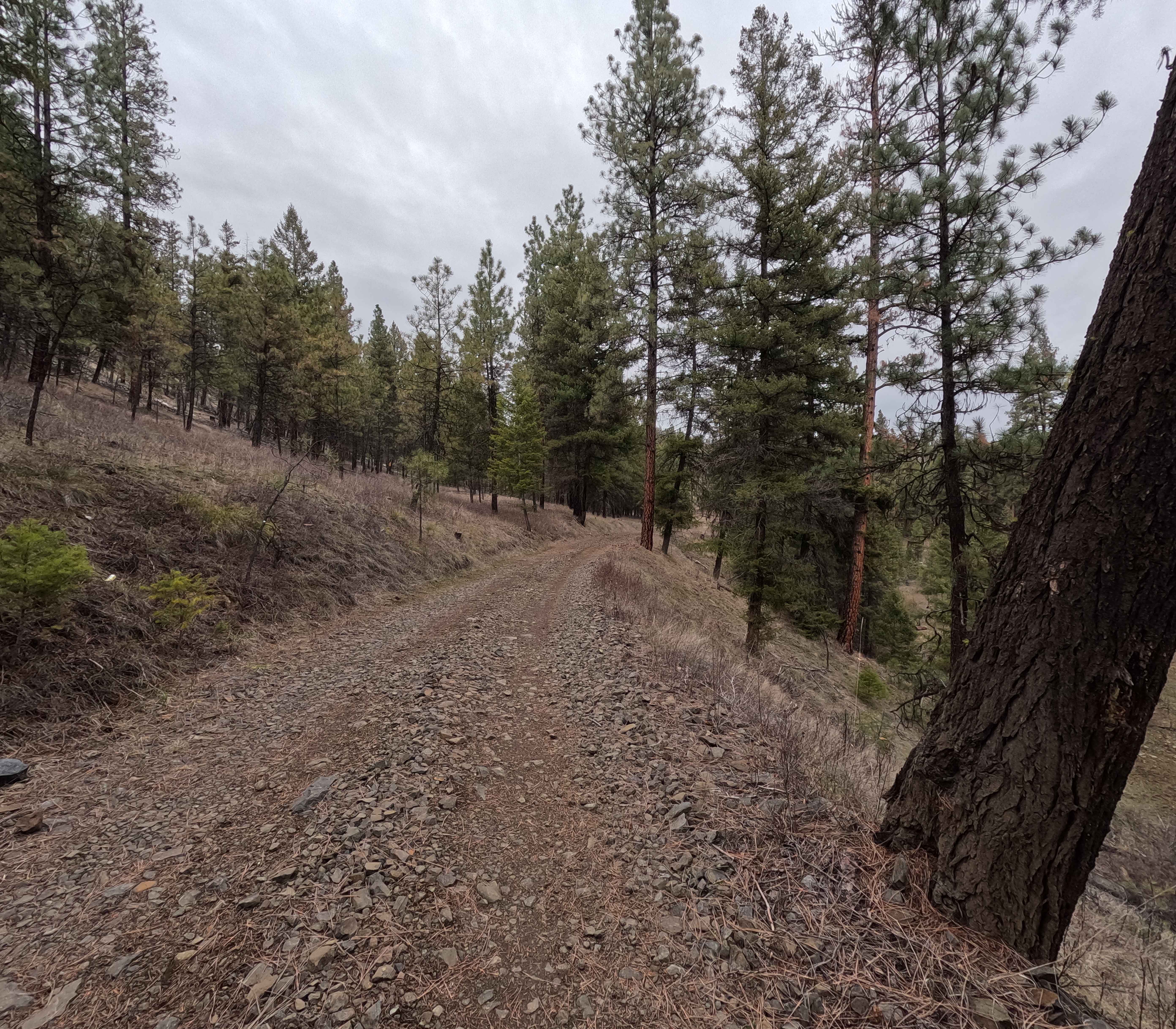
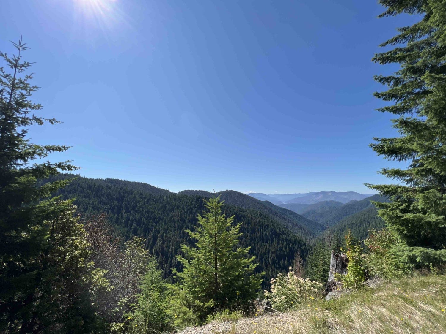
Trail Overview
A short but technical route, FS 23 East is a 3.2 mile shelf road that wraps around the base of Tamarack Mountain. Starting in the east from FS 22, the trail descends into a canyon towards Big Wall Creek. At 2.3 miles, FS 23 East crosses Big Wall Creek before climbing back out of the canyon and ending at an intersection with Wilson Creek Road and FS 23 West. FS 23 East is accessible year-round, and all OHVs (non-street legal) require an Oregon Parks ATV permit.
Photos of FS 23 East
Difficulty
This trail features consistent rock gardens along a narrow shelf road, but the main challenge is the Big Wall Creek water crossing. In springtime, this crossing can exceed 3 feet in depth, requiring high clearance, quality tires, and confident driving. Weather conditions such as rain and snow can greatly affect the difficulty. A chainsaw or other equipment for clearing fallen trees is highly recommended.
Status Reports
FS 23 East can be accessed by the following ride types:
- High-Clearance 4x4
- SUV
- SxS (60")
- ATV (50")
- Dirt Bike
FS 23 East Map
Popular Trails

Dirt Road Dash

Little Badger Creek South Road

Bear Pass 1509
The onX Offroad Difference
onX Offroad combines trail photos, descriptions, difficulty ratings, width restrictions, seasonality, and more in a user-friendly interface. Available on all devices, with offline access and full compatibility with CarPlay and Android Auto. Discover what you’re missing today!