FS 2110
Total Miles
7.6
Technical Rating
Best Time
Spring, Summer, Fall, Winter
Trail Type
Full-Width Road
Accessible By
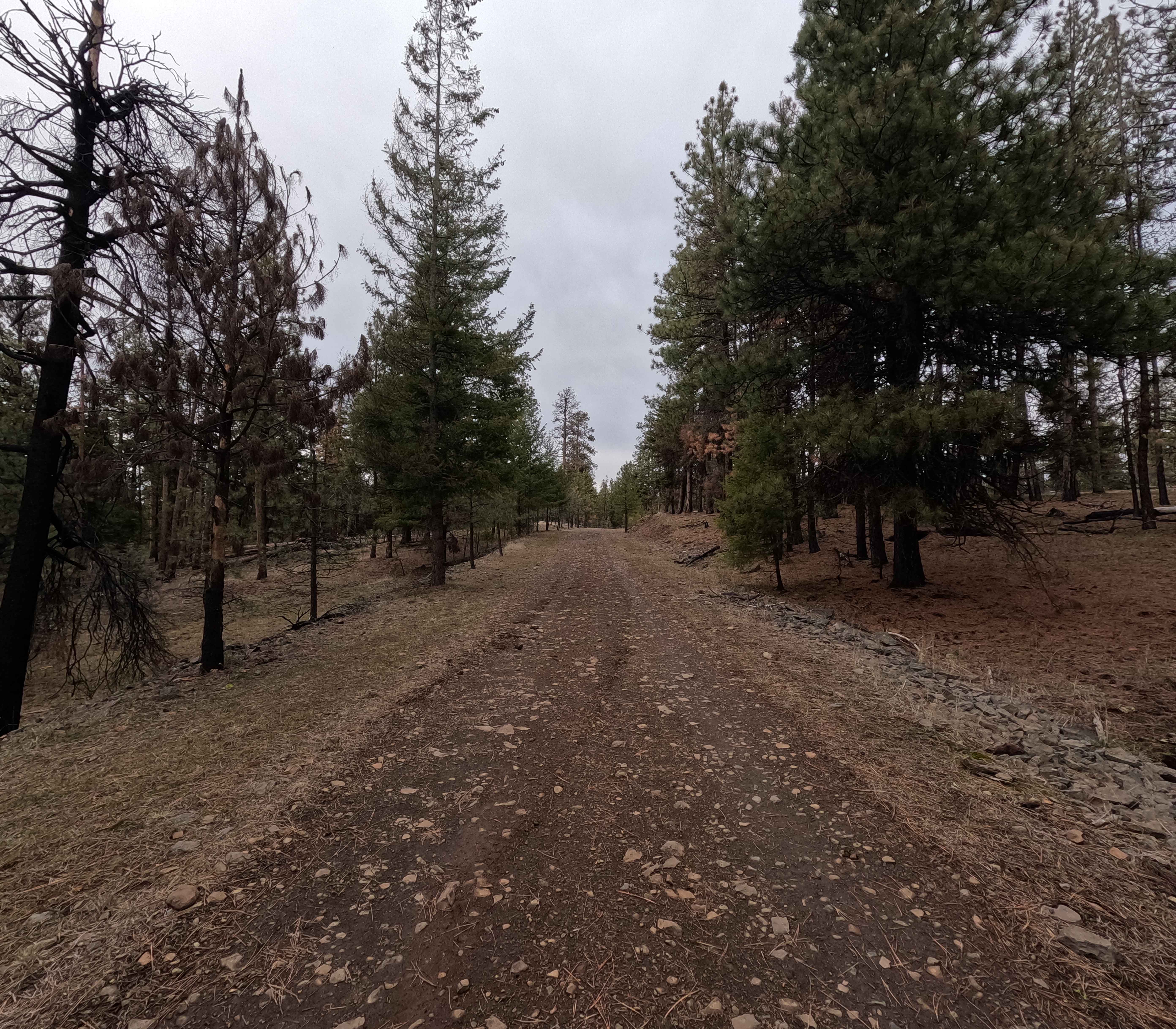
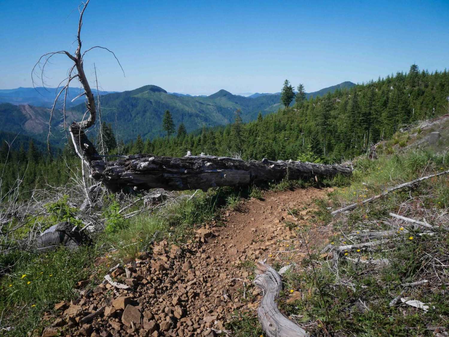
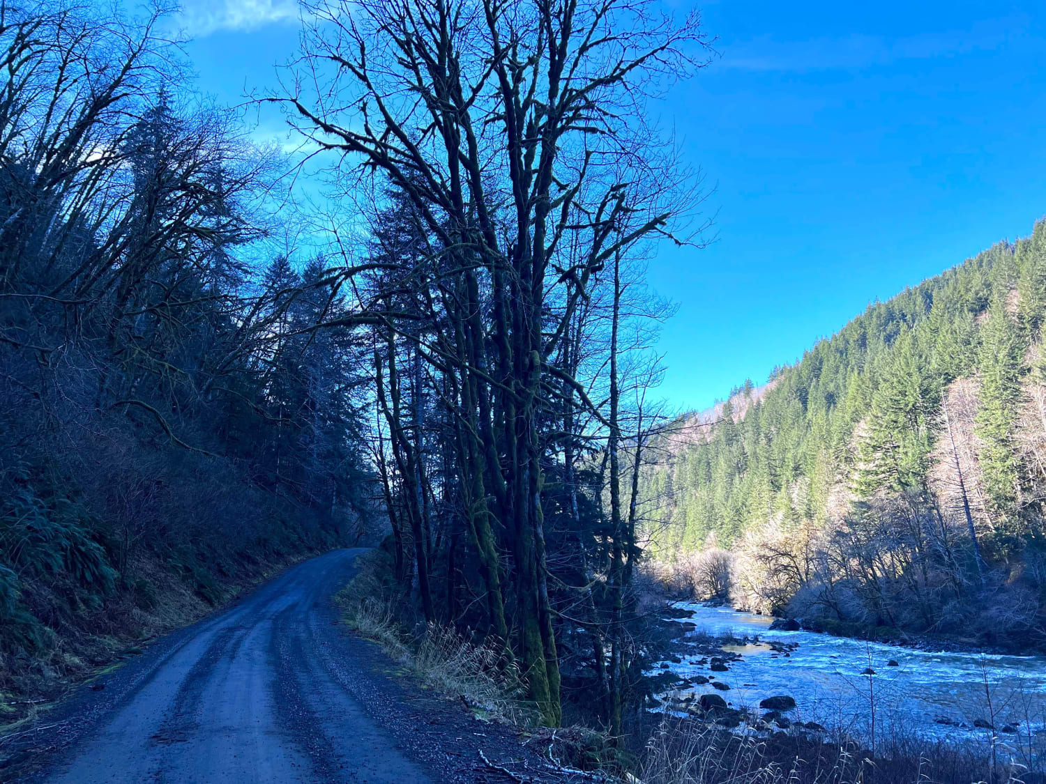
Trail Overview
FS 2110 is a 7.8-mile point-to-point trail beginning at FS 21. Starting as a wide gravel road, FS 2110 soon becomes steep, rocky, rutted, and off-camber, making it a slow-going route. The trail begins in the Umatilla National Forest and follows the top of a ridgeline descending toward the town of Monument. The trail terminates at its intersection with Forest Development Road 160, at the border between BLM and National Forest Land. FDR 160 is seasonally closed from December 1st through April 15th. FS 2110 is accessible year-round.
Photos of FS 2110

Difficulty
With deep ruts, steep sections, rock gardens, and muddy whoops that will test breakover angles, FS 2110 is a challenging option to descend out of Umatilla NF. Low clearance and 2WD vehicles should avoid this trail. Weather conditions such as rain and snow can significantly affect trail difficulty. Equipment
Status Reports
FS 2110 can be accessed by the following ride types:
- High-Clearance 4x4
- SUV
- SxS (60")
- ATV (50")
- Dirt Bike
FS 2110 Map
Popular Trails


Millican Plateau Trail 82
Lower Nehalem Road Beach Route
The onX Offroad Difference
onX Offroad combines trail photos, descriptions, difficulty ratings, width restrictions, seasonality, and more in a user-friendly interface. Available on all devices, with offline access and full compatibility with CarPlay and Android Auto. Discover what you’re missing today!