Burnt Car Road
Total Miles
7.4
Technical Rating
Best Time
Summer, Fall
Trail Type
Full-Width Road
Accessible By
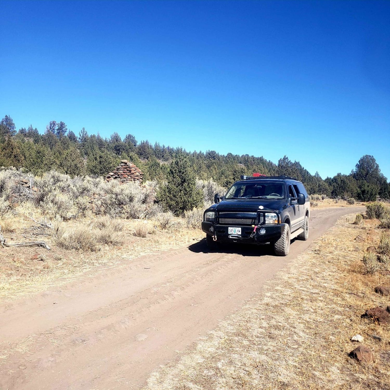
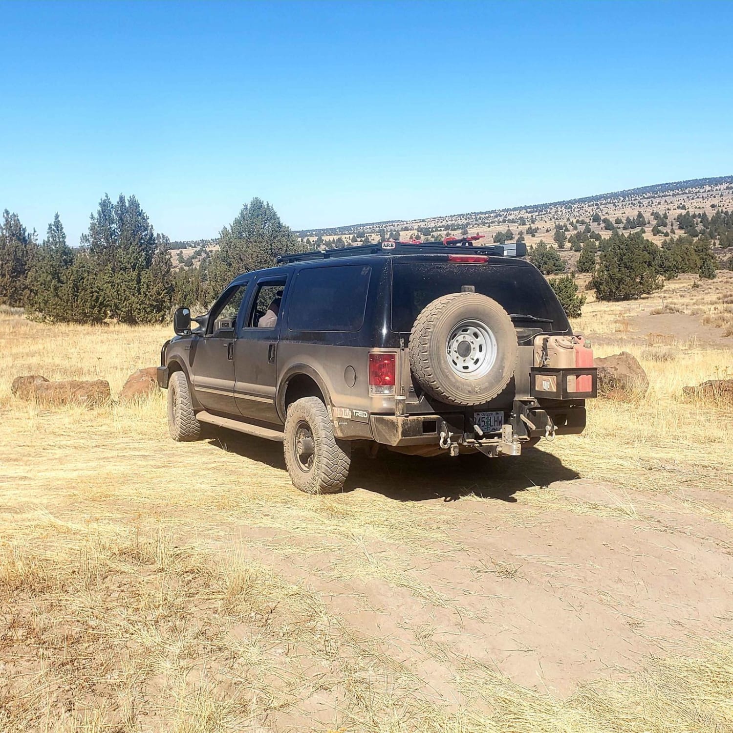
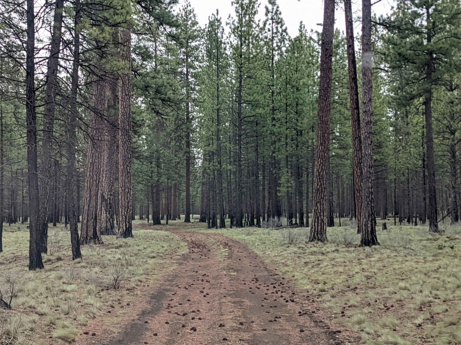
Trail Overview
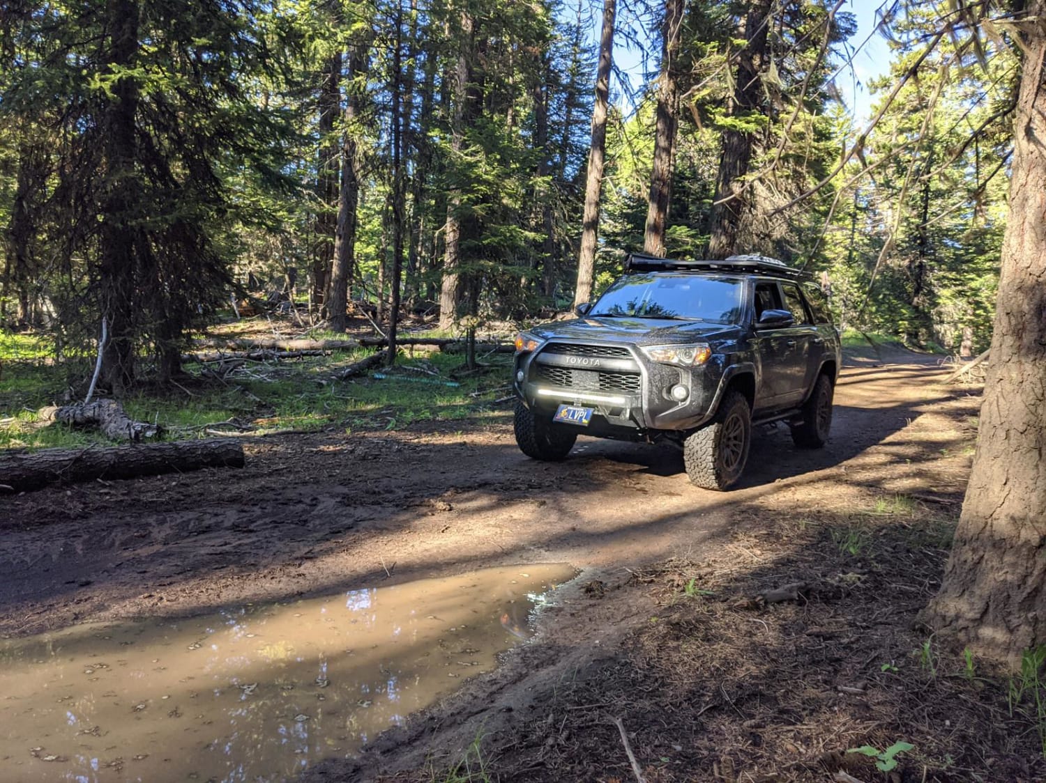
This road accesses the Steens Mountain wilderness. It is a rugged route that takes you 8 miles out to a remote area that is often used to access the wilderness area or for people to get out and see the country. In this area is important to stay on the roads and be respectful of the landscape. The route goes through sagebrush flats, Juniper stands, and across many basalt rocks. The trail has steep loose grades, large rocks, narrow passages, and many other features to navigate, and should not be attempted with any recent precipitation. High clearance is necessary and 4x4 is recommended. There is no cell reception in this area. Keep a lookout in this area for old building foundations and chimneys as well as the burnt car that the area gets its name from.
Photos of Burnt Car Road
Difficulty
Steep grade with loose dirt and rock, large rocks, deep ruts, and off camber sections. Extreme mud with any precipitation. Area is remote and lacks any services.
Burnt Car Road can be accessed by the following ride types:
- High-Clearance 4x4
- SUV
- SxS (60")
- ATV (50")
- Dirt Bike
Burnt Car Road Map
Popular Trails
Black Butte Backdoor - NF1012-500
RD 2630 / Summit Trail
The onX Offroad Difference
onX Offroad combines trail photos, descriptions, difficulty ratings, width restrictions, seasonality, and more in a user-friendly interface. Available on all devices, with offline access and full compatibility with CarPlay and Android Auto. Discover what you’re missing today!