Backway to Hole-in-the-Ground from Flat Top
Total Miles
7.7
Technical Rating
Best Time
Spring, Summer, Fall
Trail Type
Full-Width Road
Accessible By
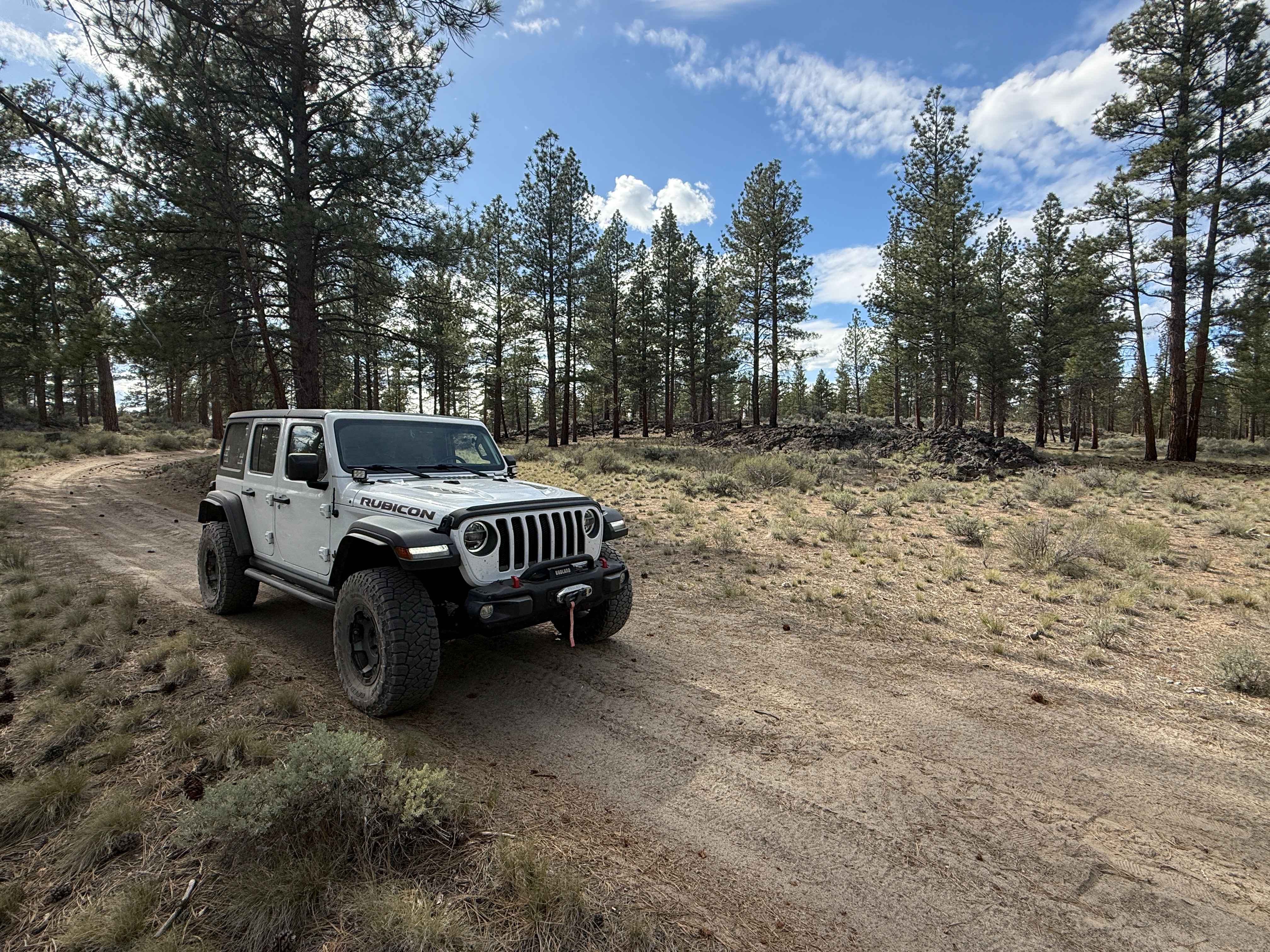
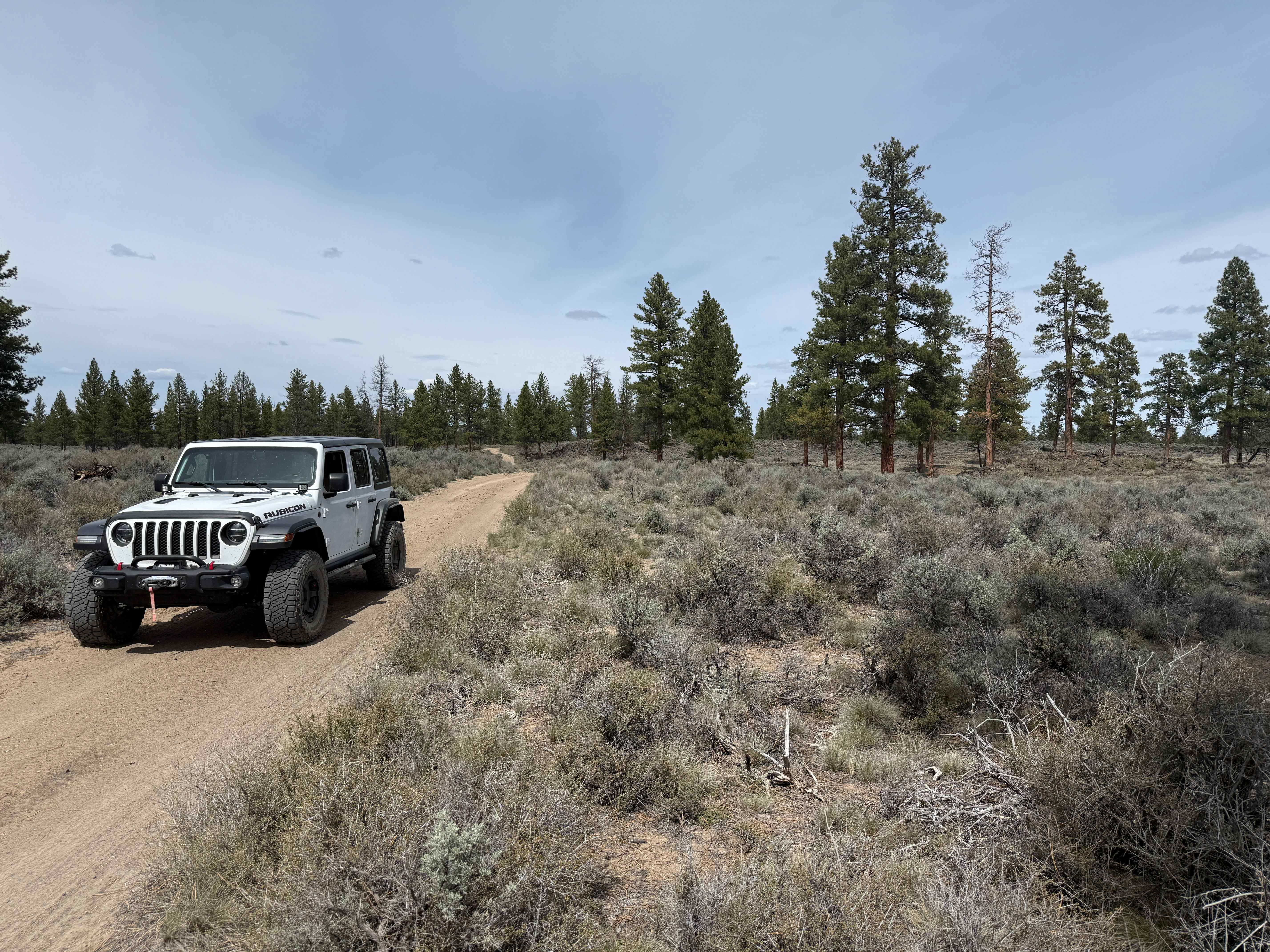
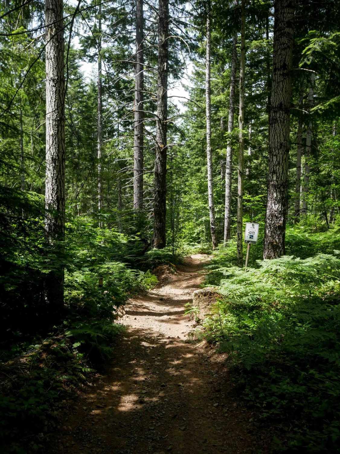
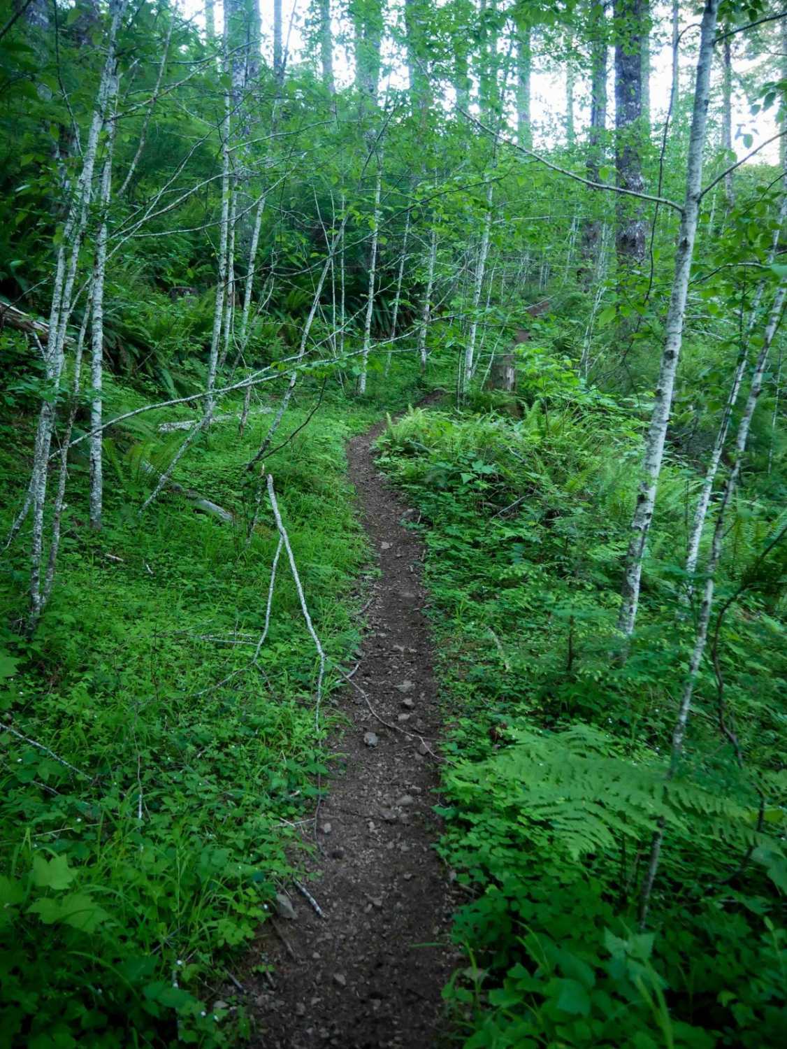
Trail Overview
This is an alternate route to Hole-in-the-Ground, which, in my opinion, provides more scenery and remoteness within the Deschutes National Forest than the commonly used and much shorter trail off Highway 31. Begins by forking off Flat Top trail just east of Flat Top Butte, heading southwesterly along the edge of the forest, and ends up climbing up on the rim of Hole-in-the-Ground crater. While an easy drive on unpaved forest trails, a high clearance SUV or truck would be ideal.
Photos of Backway to Hole-in-the-Ground from Flat Top
Difficulty
Primarily an easy unpaved, dirt two-track with occasional rocks 6-8 inches high or exposed tree roots.
Status Reports
Backway to Hole-in-the-Ground from Flat Top can be accessed by the following ride types:
- High-Clearance 4x4
- SUV
- SxS (60")
- ATV (50")
- Dirt Bike
Backway to Hole-in-the-Ground from Flat Top Map
Popular Trails
Maddogs Pumpkin Patch #38 (Extreme)
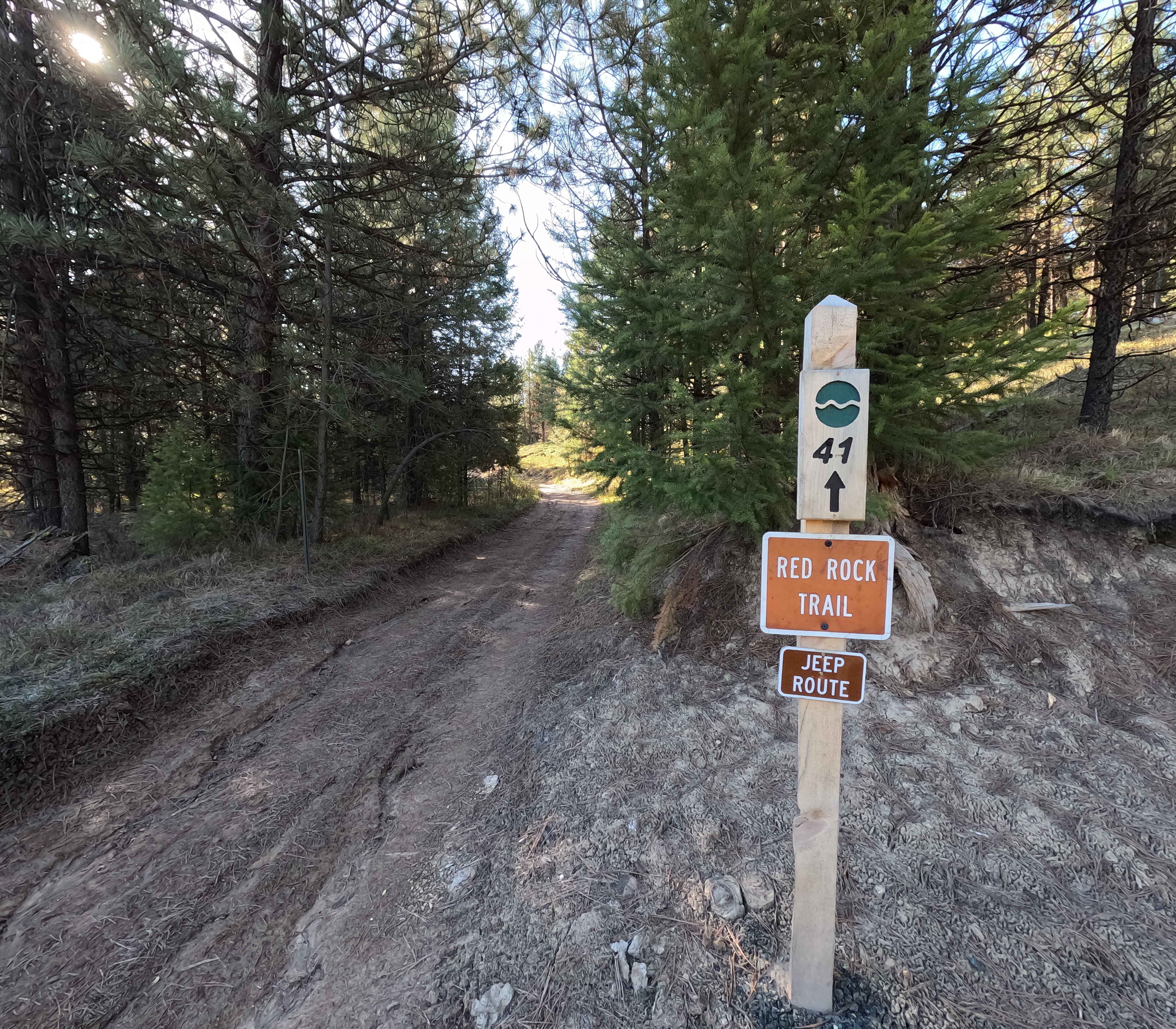
Red Rock Trail - 41
The onX Offroad Difference
onX Offroad combines trail photos, descriptions, difficulty ratings, width restrictions, seasonality, and more in a user-friendly interface. Available on all devices, with offline access and full compatibility with CarPlay and Android Auto. Discover what you’re missing today!