Black Creek - FR 2421
Total Miles
8.2
Technical Rating
Best Time
Spring, Summer, Fall
Trail Type
Full-Width Road
Accessible By
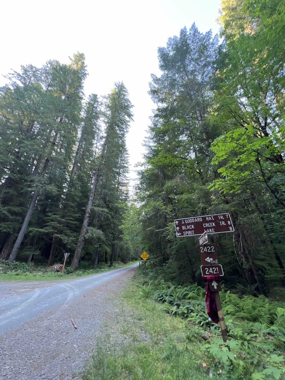
Trail Overview
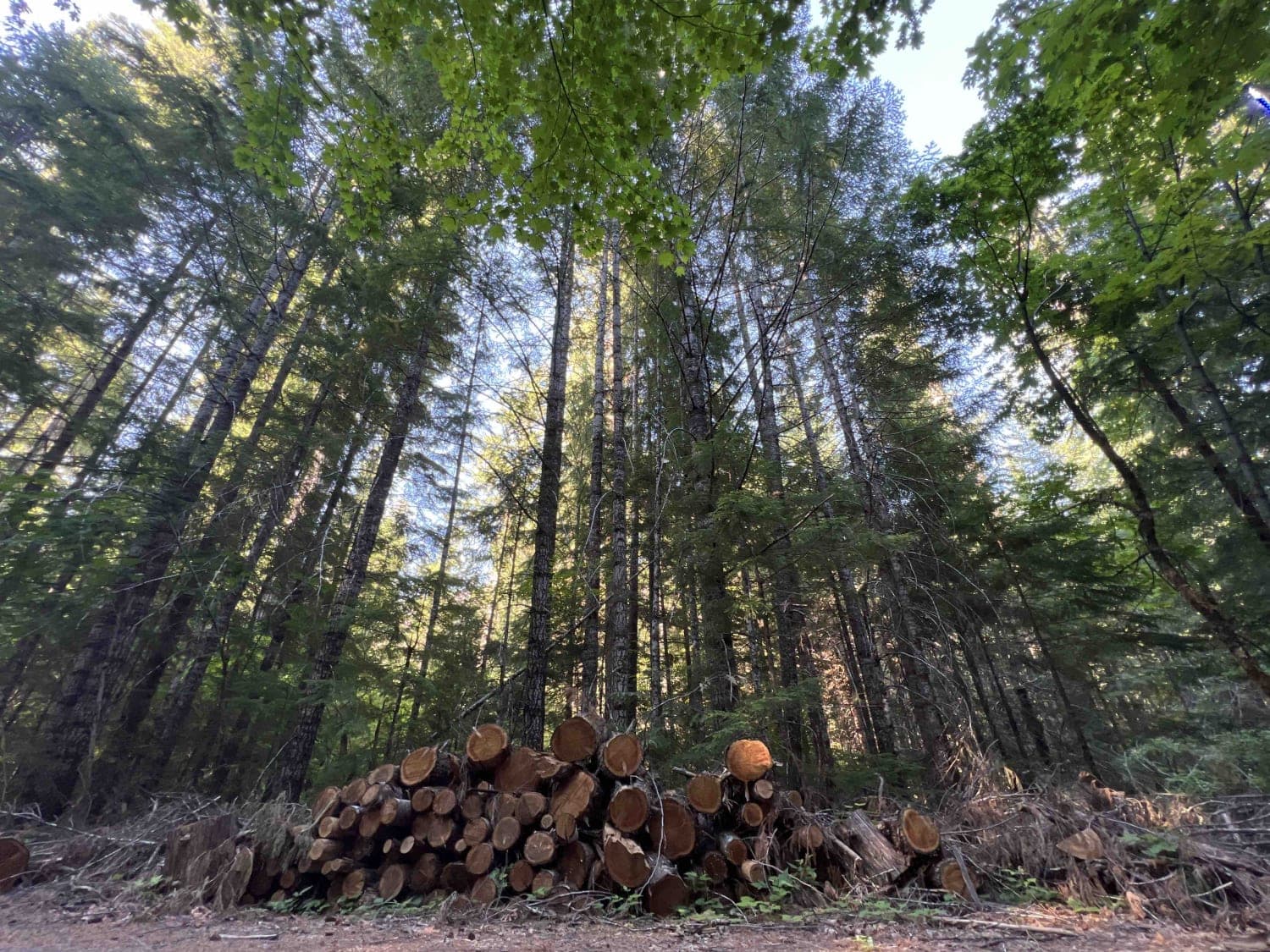
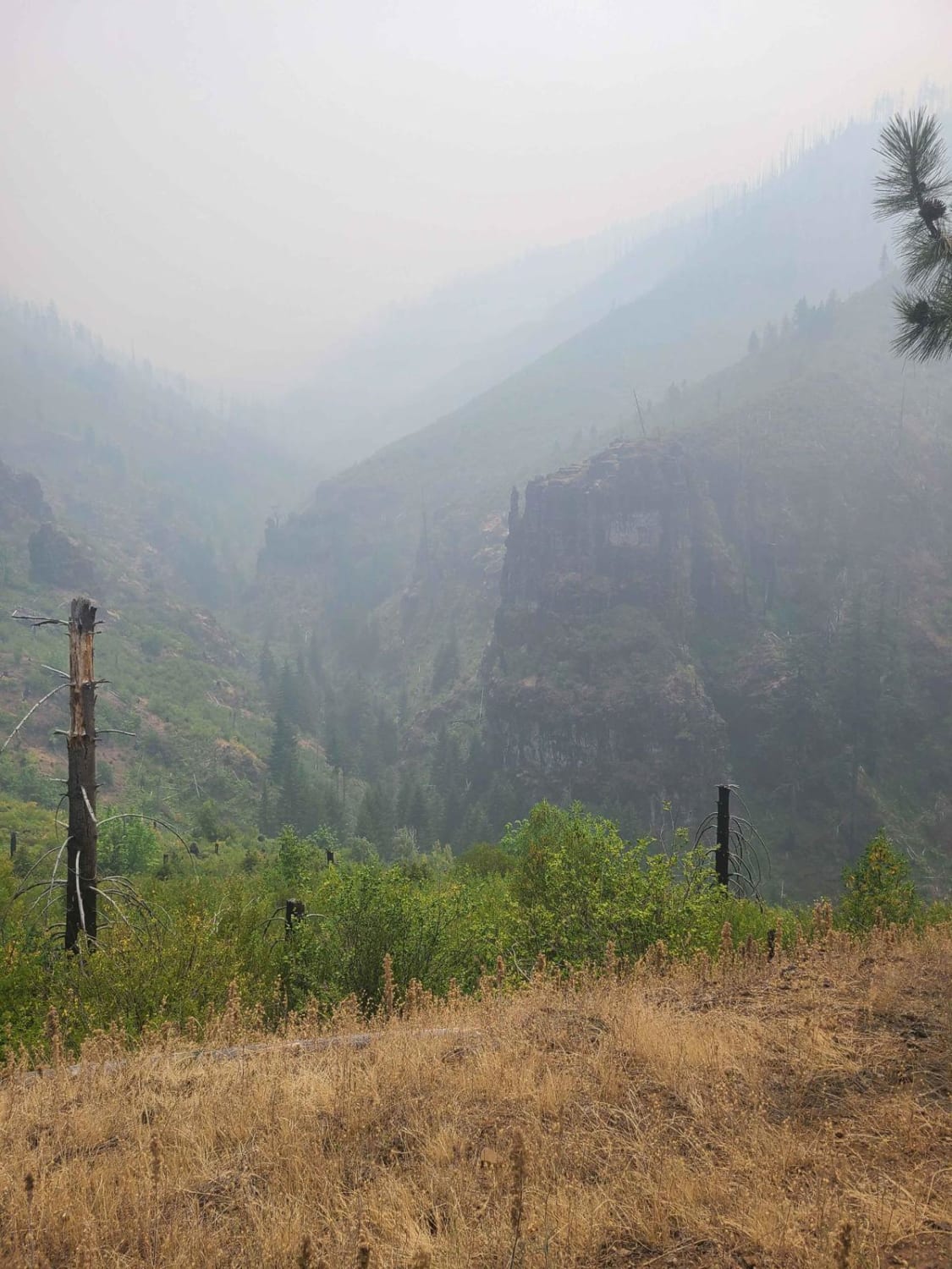
Black Creek - FR 2421 takes you down an 8.2-mile gravel road that winds through a draw in the 1.7 million-acre Willamette National Forest. In 2020, fire ripped through this area causing massive devastation to the surrounding forest. Since then, the forest service has worked hard to clear roads, plant trees and bring back the wildlife that once flourished here. Signs are posted that warn of flash flooding, falling trees, debris, landslides, and rockslides. There is an area along this route with evidence that flash flooding occurs during heavy rains. The pavement to get to the trail has been damaged as well with several holes in it which have tree branches sticking out to warn drivers of the hazards. This trail only climbs in elevation by 1000 feet. Once on this route, you will find dispersed camping however it is primitive with no running water or restrooms. There are several areas where wood has been cut and stacked on the side of the road. Due to the fires, the WNF has made it legal with a permit to collect six cords of wood per person per year. Black Creek parallels this route and can be accessed from the main road in several locations. The WNF is home to over three hundred wildlife species including northern spotted owl, mule deer, bald eagle, Chinook salmon, black-tailed deer, bull trout, black bear, cougar, southern red-backed vole, elk, and wolverine. Once at the end of this trail, you will find the Black Creek Trailhead which is a 3.7-mile hike that takes you past Lillian Falls and onto Waldo Lake. The WNF asks that you pack it in and pack it out and tread lightly on the trails. This area is best enjoyed from late spring to early fall. The winter months bring heavy rain and roads may be closed due to weather conditions.
Photos of Black Creek - FR 2421
Difficulty
This route is an easy gravel road, however, there are lots of downed or low-lying trees, trees that cross the road at low levels, branches overhanging, narrow areas, and flash flooding evidence.
Status Reports
Black Creek - FR 2421 can be accessed by the following ride types:
- High-Clearance 4x4
- SUV
- SxS (60")
- ATV (50")
- Dirt Bike
Black Creek - FR 2421 Map
Popular Trails
Views and Falls #2143


Imnaha to Wallowa Mountain Loop
The onX Offroad Difference
onX Offroad combines trail photos, descriptions, difficulty ratings, width restrictions, seasonality, and more in a user-friendly interface. Available on all devices, with offline access and full compatibility with CarPlay and Android Auto. Discover what you’re missing today!