Alder Springs
Total Miles
5.3
Technical Rating
Best Time
Spring, Summer, Fall
Trail Type
Full-Width Road
Accessible By
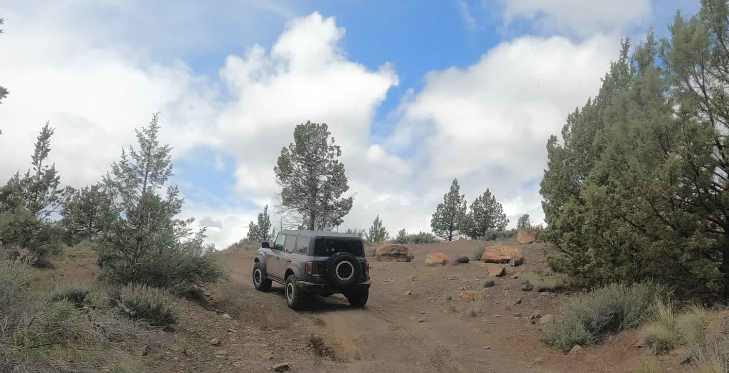
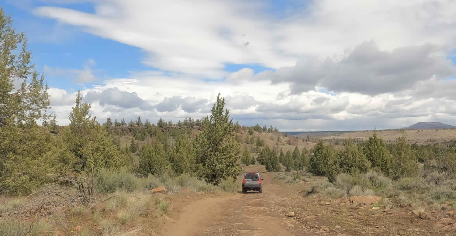
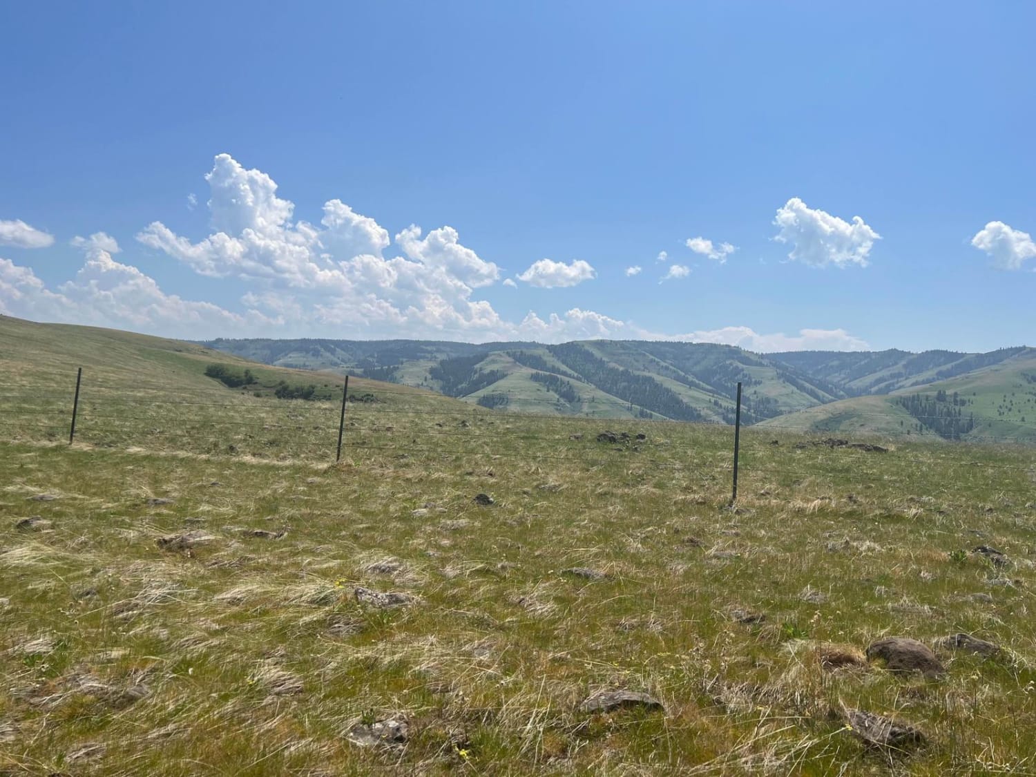
Trail Overview
Rough dirt and rock road accessing Alder Springs Trailhead and Wychus Creek. This road passes through a seasonal gate (and then through a private land easement) to access a section of the Crooked River National Grasslands, which is closed seasonally to protect large game winter range. Additional details on the Alder Springs trail (and general access ) are here: https://www.fs.usda.gov/recarea/ochoco/recarea/?recid=38278
Photos of Alder Springs
Difficulty
rough dirt and rock road
Status Reports
Alder Springs can be accessed by the following ride types:
- High-Clearance 4x4
- SUV
Alder Springs Map
Popular Trails
Long Prairie 17

McPhillips Beach Trail - North
Upper Cross District Trail - NF 103000
Rock the Ridge
The onX Offroad Difference
onX Offroad combines trail photos, descriptions, difficulty ratings, width restrictions, seasonality, and more in a user-friendly interface. Available on all devices, with offline access and full compatibility with CarPlay and Android Auto. Discover what you’re missing today!