High Divide #5850
Total Miles
46.1
Technical Rating
Best Time
Spring, Summer, Fall
Trail Type
Full-Width Road
Accessible By
Trail Overview
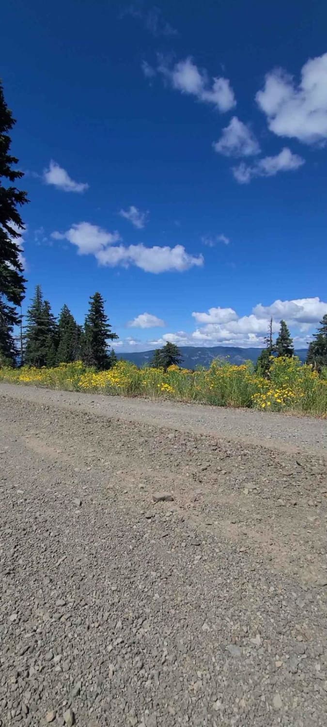
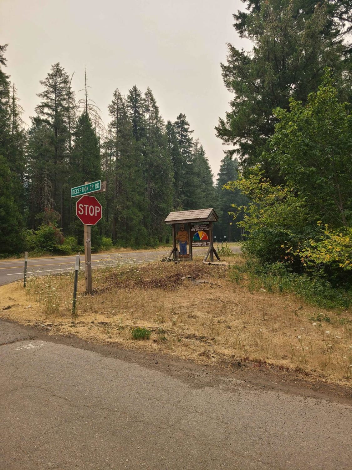
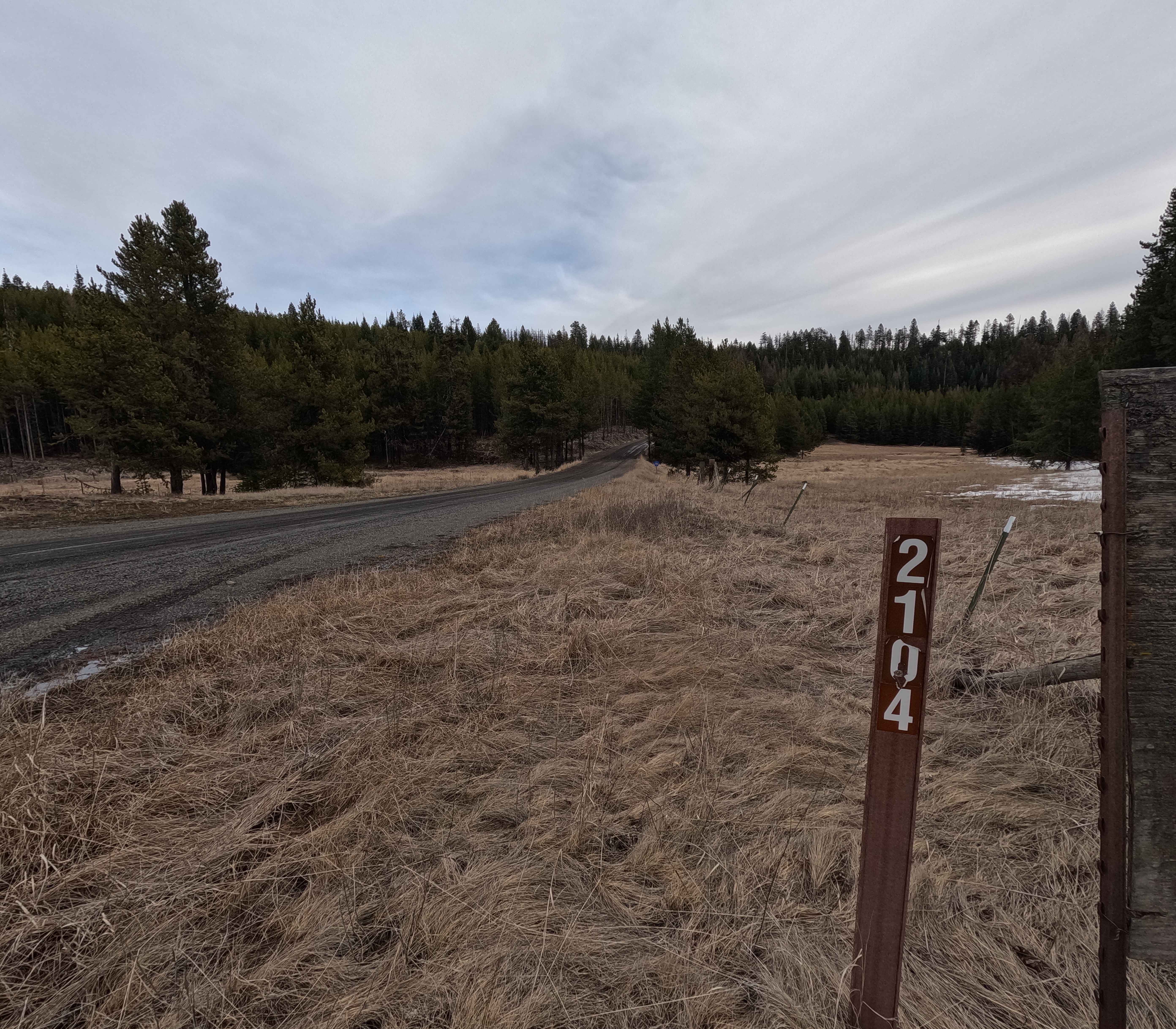
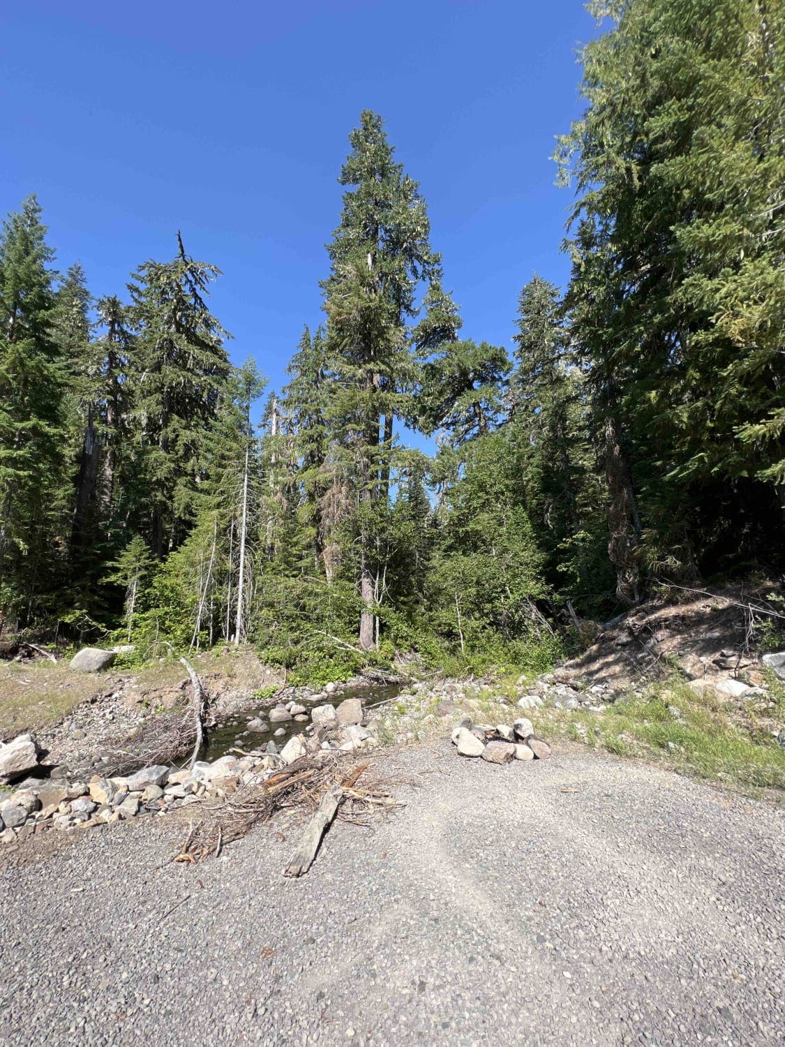
Are you looking for a backcountry adventure with views? Then I recommend checking out High Divide, a 45-mile-long forest road ride! Most will start this road right outside the town of Oakridge. There is little to no cellphone service in this area. If you need reception, the Dairy Queen near Chevron offers wifi, a stop for breakfast, or a full menu all day. Once you get to the trail, you will notice the road sign says Deception CR Rd don't let this fool you, this is the right path. For the first eight miles High Divide is dirt, then it turns to the pavement for ten miles. I know we all want to speed through the mountains like we are race car drivers, but be aware this road is a high-traffic road and is not maintained; there are very large cracks, potholes, and dips; please drive carefully. The pavement ends at a 4-way intersection and will be dirt for the rest of the route. There are a couple of camp spots, one of them has a small pond, but don't swim in it, you will find yourself covered in leeches, it is a stagnant body of water, regardless it is still a beautiful spot to camp. When driving, be mindful of falling trees and large rocks. This area is known for large deadfalls that can sometimes block the road and make maneuvering the forest difficult, after a large storm, you may find some roads will have multiple downed trees and rock slides. The views are amazing on this route, both the large vast forest, with rolling hills and the multiple different flowers that line sections of this drive. If you enjoy hiking, you will find Wren Loop #3655 trailhead, it is a short 1 Mile hike, open to Horse, Bike, and Foot traffic.
Photos of High Divide #5850
Difficulty
Minimum difficulty on this road, you will run into downed trees that can block the road, and you will need to drive over the debris. Due to this, a lower clearance vehicle is not recommended. There is also a chance of falling rocks, some may even be in the middle of the road. Careful placement of tires when passing these rocks can make for some technical maneuvers. The pavement section of this road is not kept up, there are large potholes, dips, and cracks, be mindful and drive slowly. The road is typically untainted during winter and can be subject to closures.
Status Reports
High Divide #5850 can be accessed by the following ride types:
- High-Clearance 4x4
- SUV
- SxS (60")
- ATV (50")
- Dirt Bike
High Divide #5850 Map
Popular Trails

Fisher Point 1164

The onX Offroad Difference
onX Offroad combines trail photos, descriptions, difficulty ratings, width restrictions, seasonality, and more in a user-friendly interface. Available on all devices, with offline access and full compatibility with CarPlay and Android Auto. Discover what you’re missing today!