Oregon Redwoods Trail
Total Miles
4.1
Technical Rating
Best Time
Spring, Summer, Fall, Winter
Trail Type
Full-Width Road
Accessible By
Trail Overview
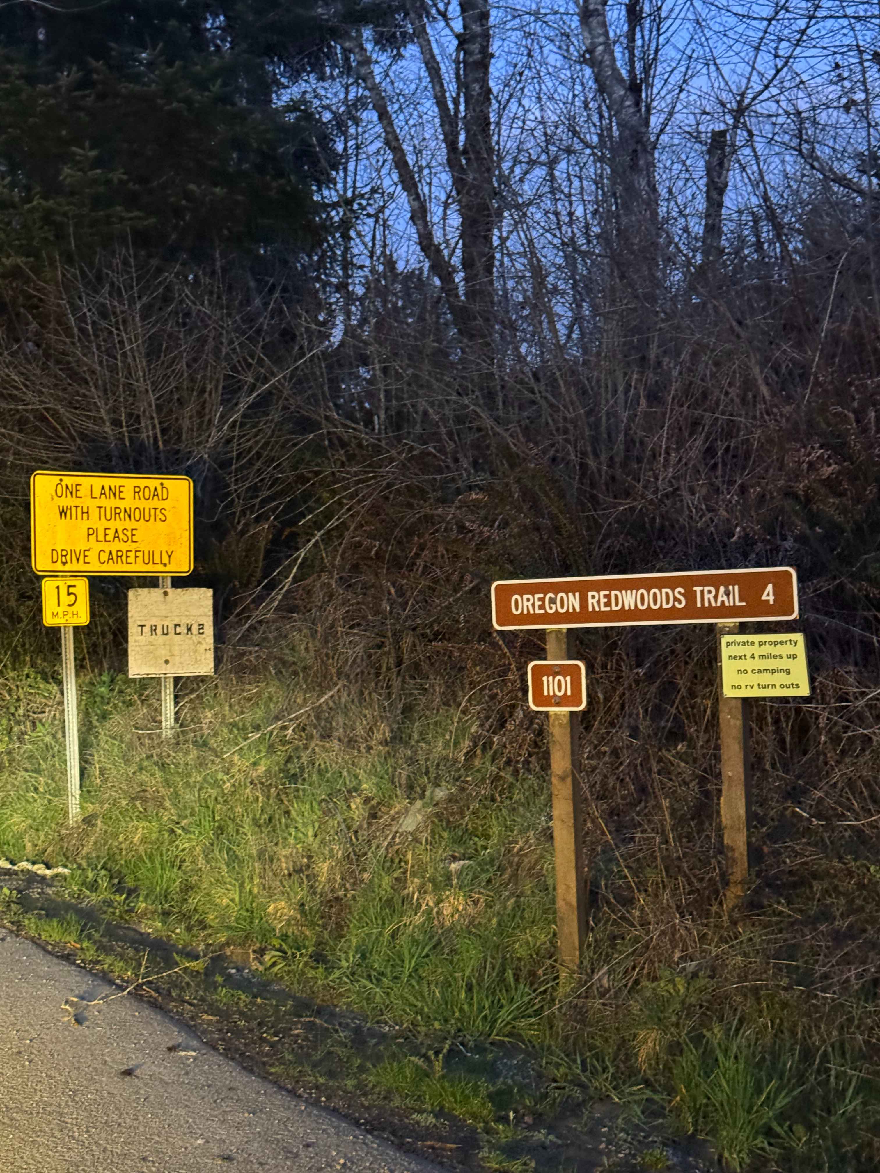
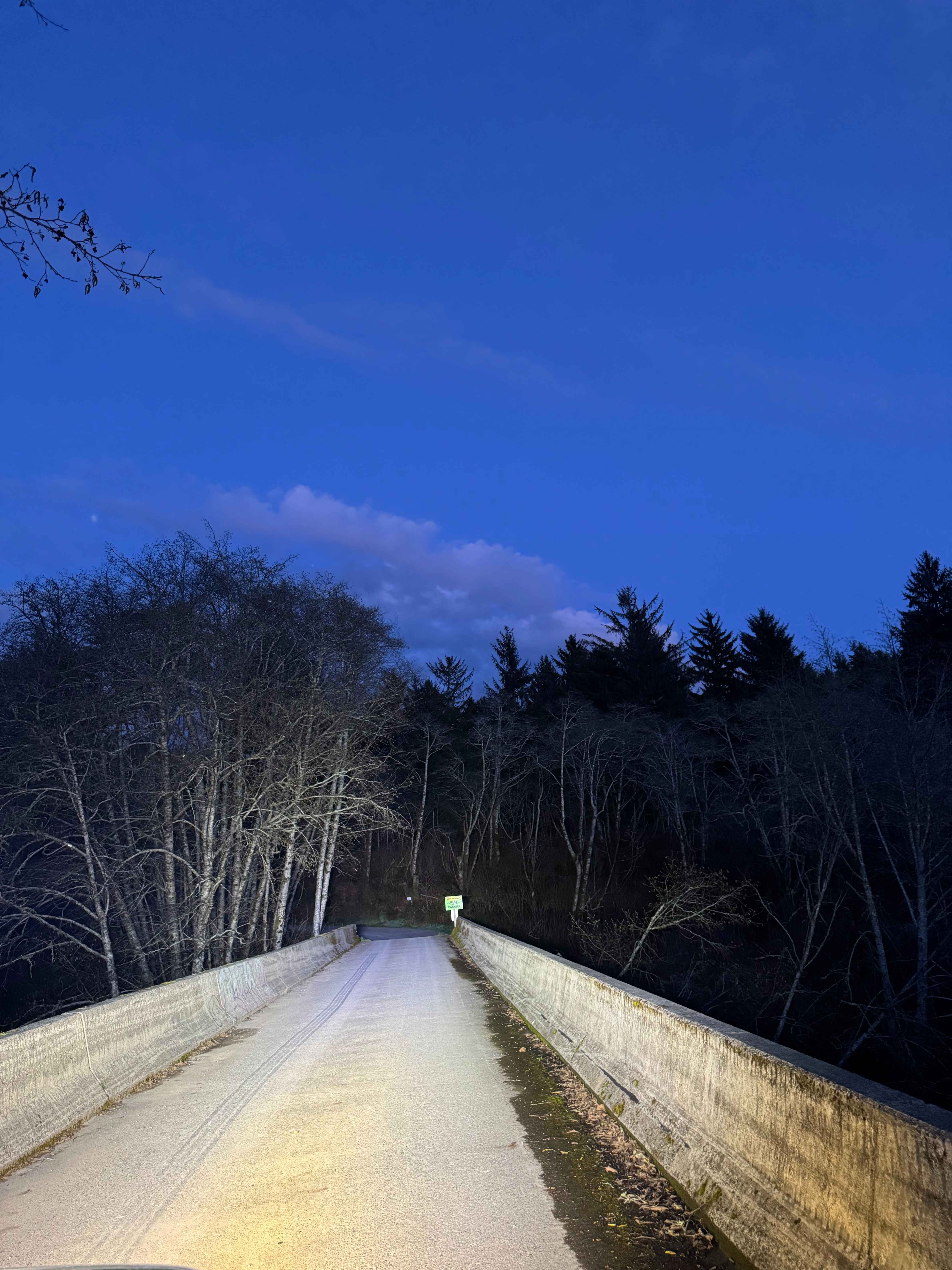
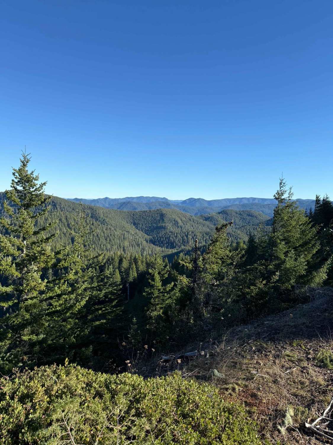
When you turn onto Peavine Ridge, this is the start of the trail. You cross the bridge over the creek, and the road turns to dirt and gravel. The trail climbs at a steady grade with Private Property on both sides of the road until you cross into the Siskiyou National Forest. Once you enter the National Forest, dispersed camping is available within 300 feet of the road. There are several potholes full of water and washes/ruts where you must pick a line; most vehicle types should be able to complete this with no issue. The road dead ends at the Oregon Redwoods hiking trail/trailhead, where there are vault toilet restrooms and parking for approximately 8 vehicles. The only trail off of this road is "Big Red," which leads you a short distance to the edge of the National Forest and into private property.
Photos of Oregon Redwoods Trail
Difficulty
One lane road with pull-outs to pass and moderate washes/ruts.
Status Reports
Oregon Redwoods Trail can be accessed by the following ride types:
- High-Clearance 4x4
- SUV
- SxS (60")
- ATV (50")
- Dirt Bike
Oregon Redwoods Trail Map
Popular Trails
Rocky Peak

Sherar Burn Road

North Fork Wolf Creek Road
The onX Offroad Difference
onX Offroad combines trail photos, descriptions, difficulty ratings, width restrictions, seasonality, and more in a user-friendly interface. Available on all devices, with offline access and full compatibility with CarPlay and Android Auto. Discover what you’re missing today!