NF-115
Total Miles
8.5
Technical Rating
Best Time
Summer, Fall
Trail Type
Full-Width Road
Accessible By
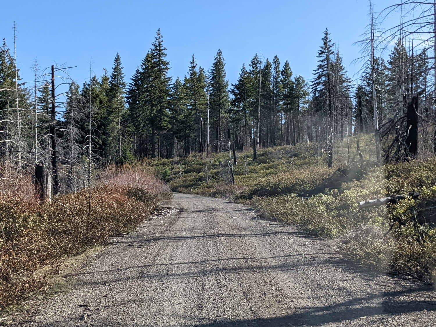
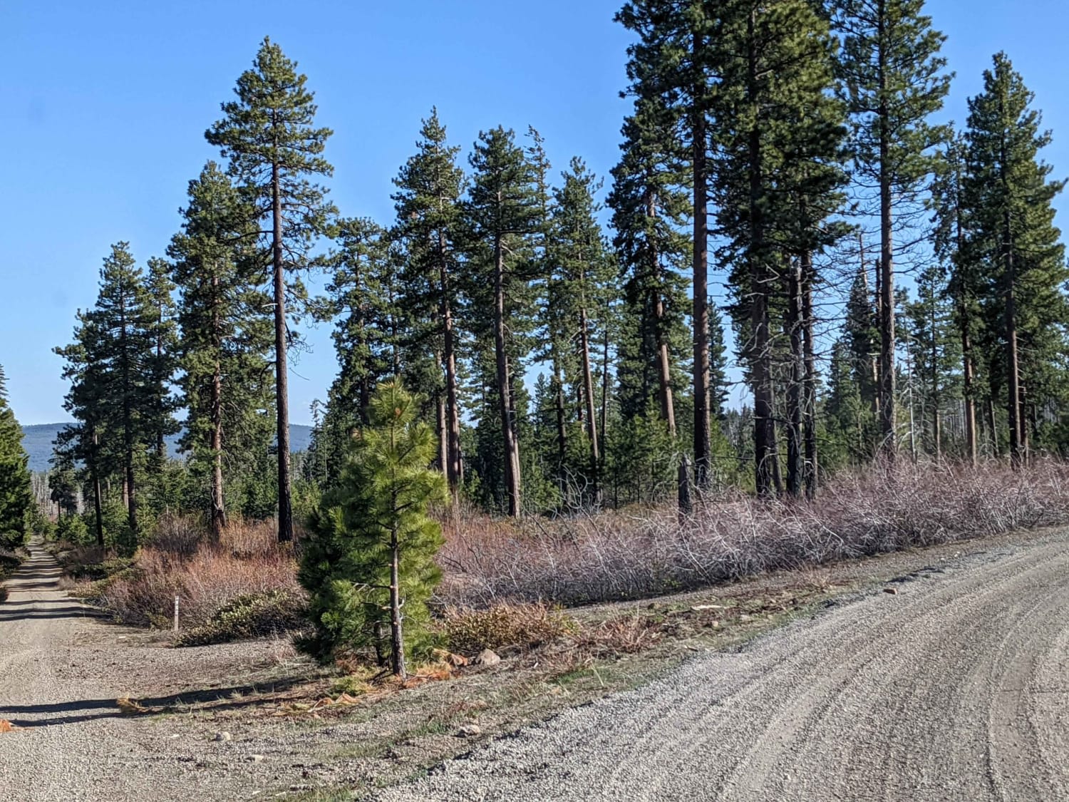
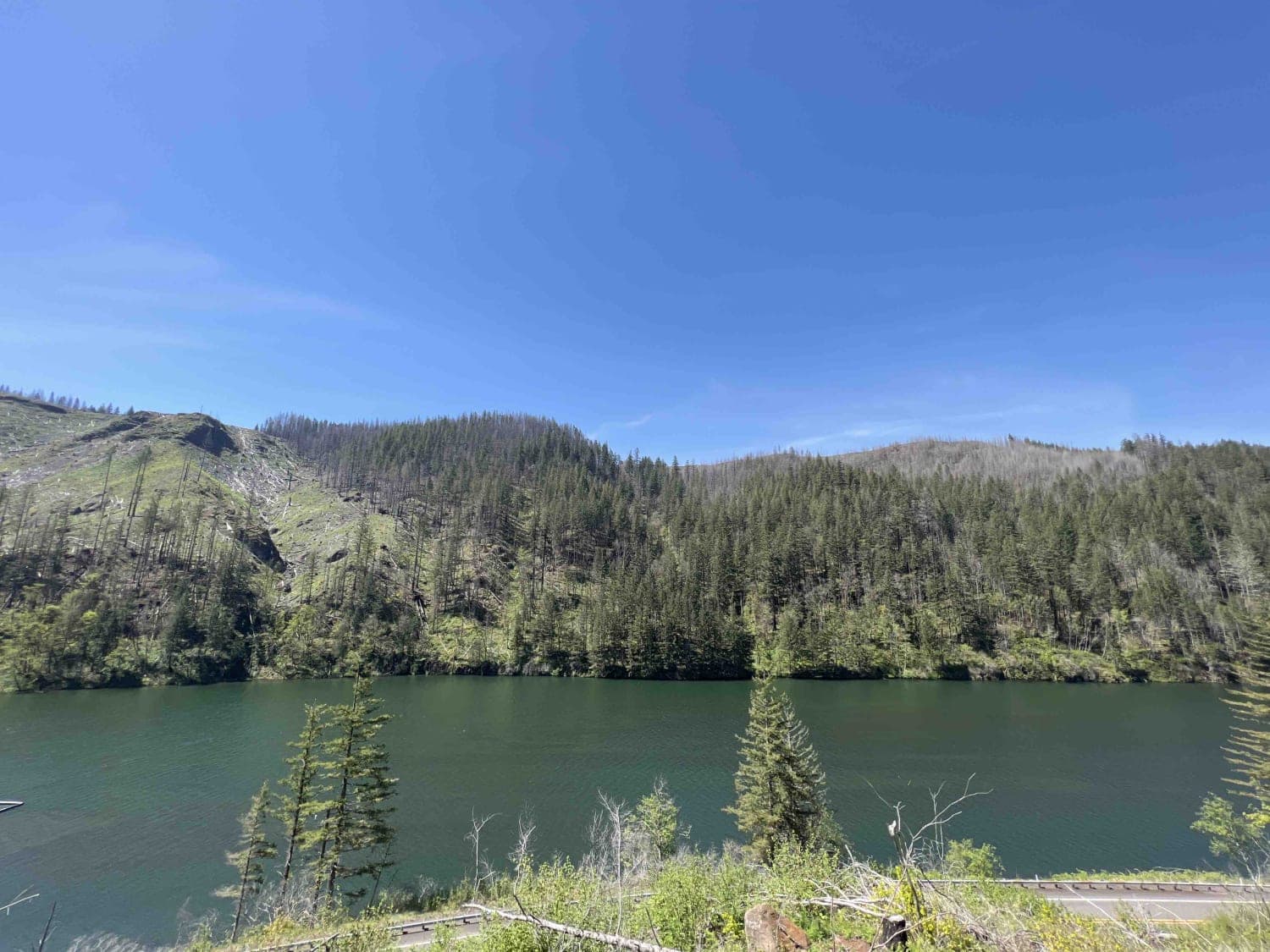
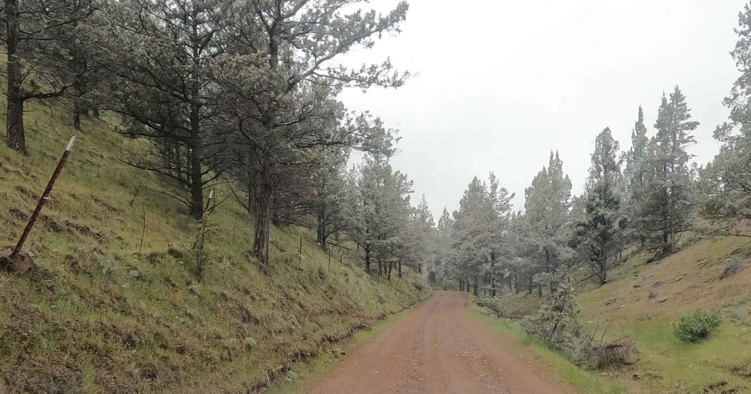
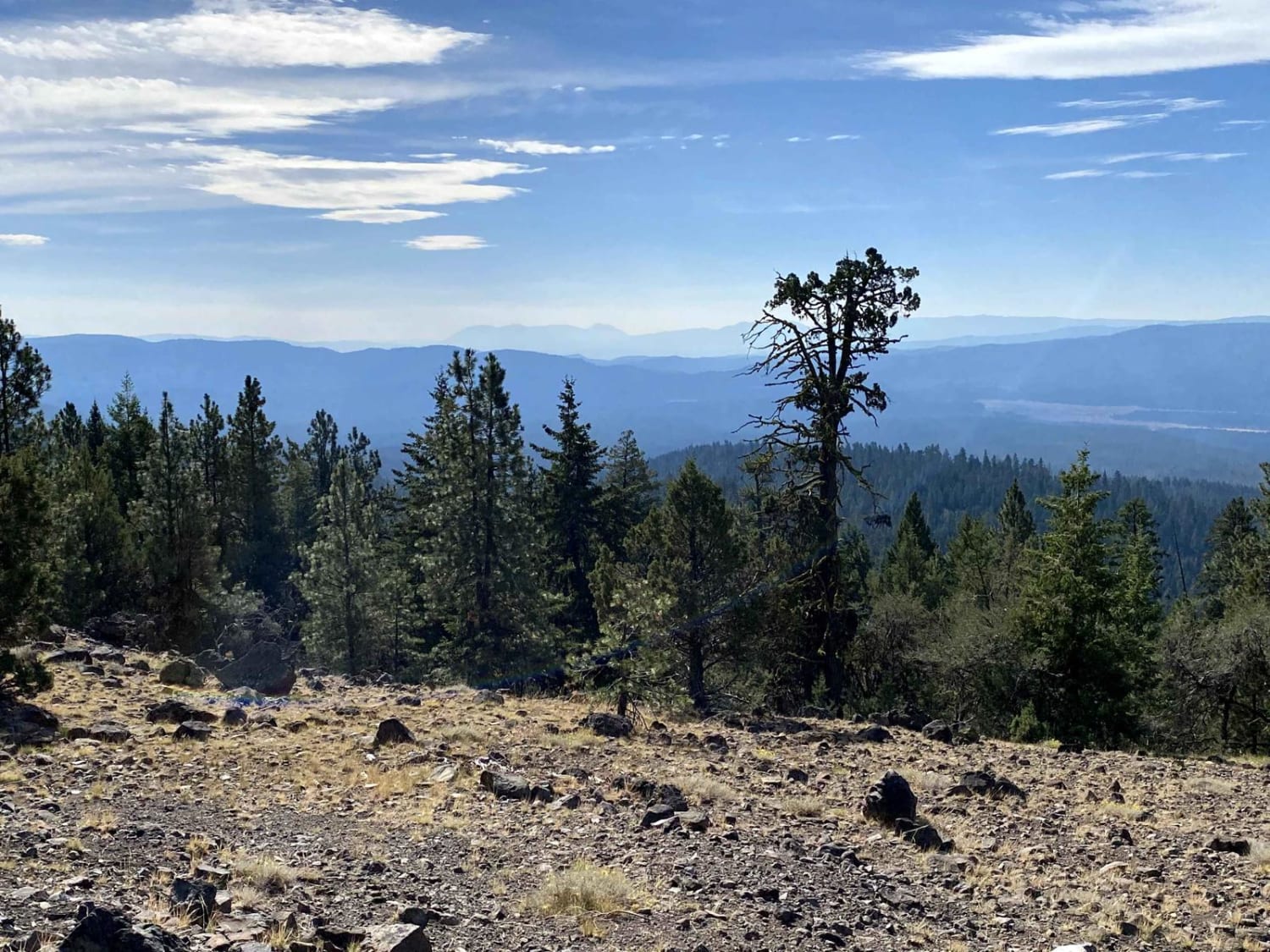
Trail Overview
Gravel Forest Service road winding through a landlocked section of the Deschutes National Forest above the Deschutes River. This section is accessible from the South and is surrounded by the nearby Jefferson Wilderness and Warm Springs Reservation. This road varies in elevation from 3500'-4000' in elevation and is usually snowbound between December and April. This area does not receive a great deal of use, so carry a chainsaw and expect to buck out fallen trees or be turned around.
Photos of NF-115
Difficulty
easy gravel road
Status Reports
NF-115 can be accessed by the following ride types:
- High-Clearance 4x4
- SUV
- SxS (60")
- ATV (50")
- Dirt Bike
NF-115 Map
Popular Trails
National Forest Development Road 4610
Skull Hollow - NF-5710

Firebreak 5 Jeep Badge of Honor Trail
The onX Offroad Difference
onX Offroad combines trail photos, descriptions, difficulty ratings, width restrictions, seasonality, and more in a user-friendly interface. Available on all devices, with offline access and full compatibility with CarPlay and Android Auto. Discover what you’re missing today!