McDonald's Crossing
Total Miles
1.6
Technical Rating
Best Time
Spring, Summer, Fall
Trail Type
Full-Width Road
Accessible By
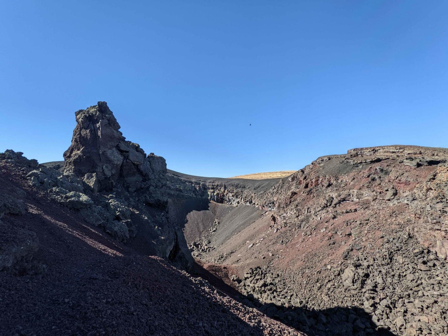
Trail Overview
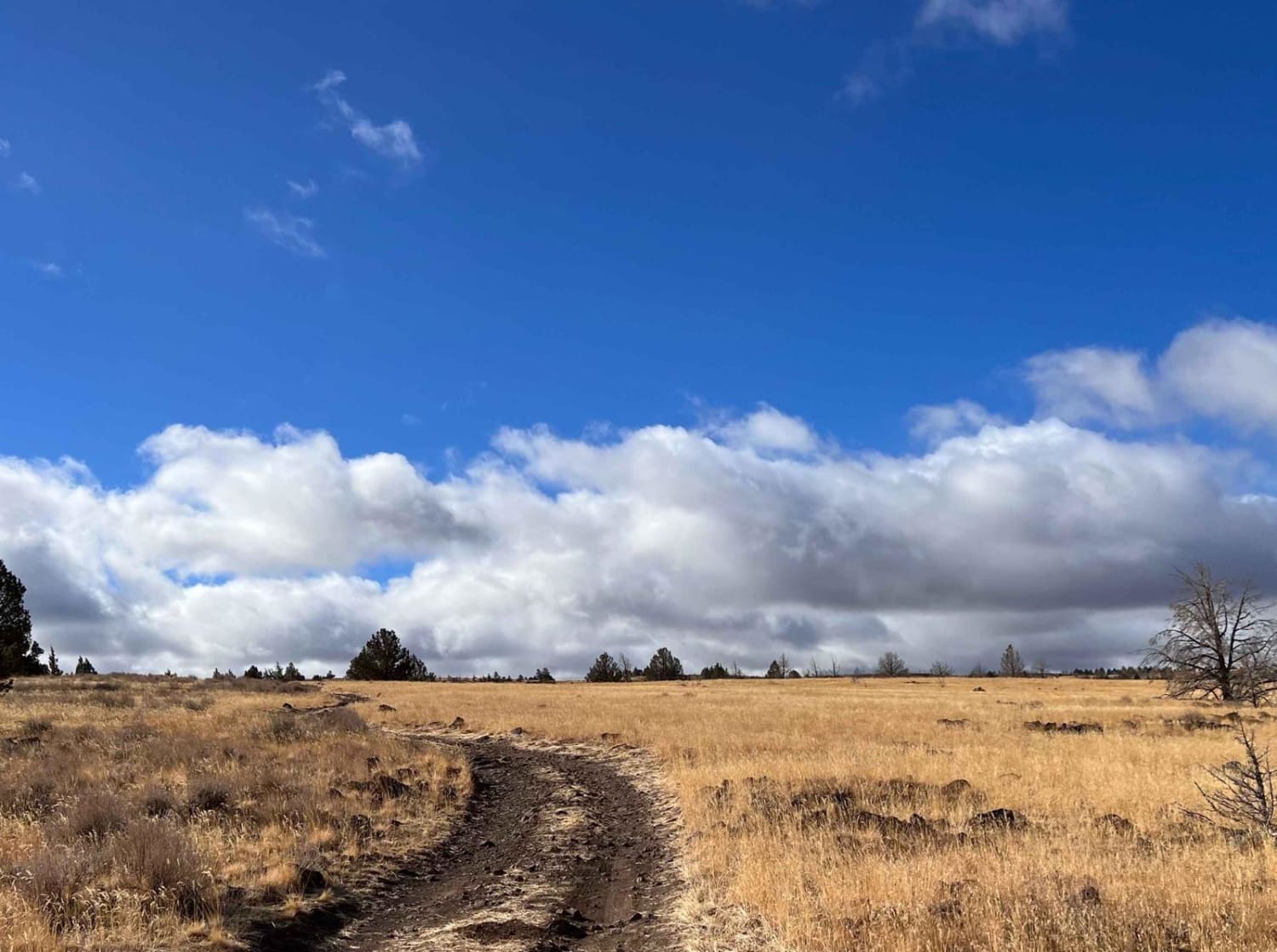
McDonald's Crossing is a Historical section where wagon trains from the Oregon Trail crossed the John Day River from 1843 - 1863. In 1858, a Ferry was established here, and in 1866, a Bridge was built nearby. Two separate trails can be located on the steep hillside overlooking the river, well-marked with white markers. This makes for a great opportunity to actually follow and explore the exact path of the Oregon Trail. The travelers would make their way down the steep section to the flat land at the bottom, usually camp for a few days, resting, making repairs, and gathering supplies, before crossing the river en route to The Dalles, Barlow Road, or other locations to be settled. The road to access McDonald's Crossing is usually washboard gravel that can get rather swampy in the wet season. Deer, coyotes, and an occasional antelope can be viewed here. The river is excellent for catching smallmouth bass and catfish in the deeper sections. In late summer, when the John Day River is flowing extremely low, it is great for swimming and relaxing. There is also a primitive campsite and a vault toilet.
Photos of McDonald's Crossing


Difficulty
The road can get rather swampy in the wet season. Please avoid making ruts.
Status Reports
McDonald's Crossing can be accessed by the following ride types:
- High-Clearance 4x4
- SUV
McDonald's Crossing Map
Popular Trails
Coffeepot Crater Road
Three Springs Road
The onX Offroad Difference
onX Offroad combines trail photos, descriptions, difficulty ratings, width restrictions, seasonality, and more in a user-friendly interface. Available on all devices, with offline access and full compatibility with CarPlay and Android Auto. Discover what you’re missing today!