Marble Creek Pass
Total Miles
16.6
Technical Rating
Best Time
Spring, Summer
Trail Type
Full-Width Road
Accessible By
Trail Overview
Marble Creek Pass is in the Elkhorn Mountain range west of Baker City in eastern Oregon. Marble Creek Road out of Baker City becomes forest road NF6510 (Marble Creek Pass Rd). It's approximately 9 miles to the top of the ridge in the Elkhorns, with an elevation of 7,542 feet. In early spring through summer, there is a good chance you'll see mountain goats around the top. This is also the southern trailhead for the Elkhorn Crest National Recreation Trail. The route from Baker City starts as an easy dirt road with a few minor water ruts crossing the road, then it transitions to steep and narrow in some sections. Approximately halfway up, just before the old mine, the road gets pretty rough and rocky, and high-clearance 4WD vehicles are strongly recommended. (Lockers are NOT necessary). Once over the pass, the remaining route is an easy dirt road with a few minor water ruts, steep and narrow in some sections. Take your time, enjoy all of the awesome views. The trail is closed during winter and can be completely snowed in well into spring. Some sections near the top will have snow through summer. During this same time of year, be aware of the hardpack snow drifts that may be blocking the road as you approach the top. Attempting to go over them is very dangerous and highly discouraged.
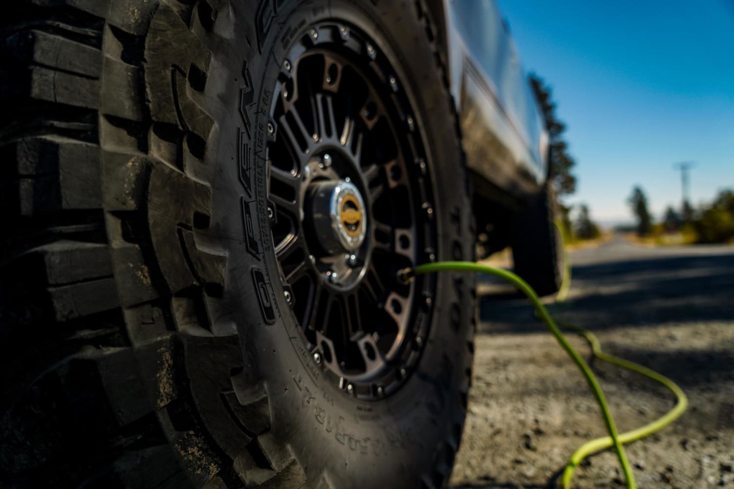
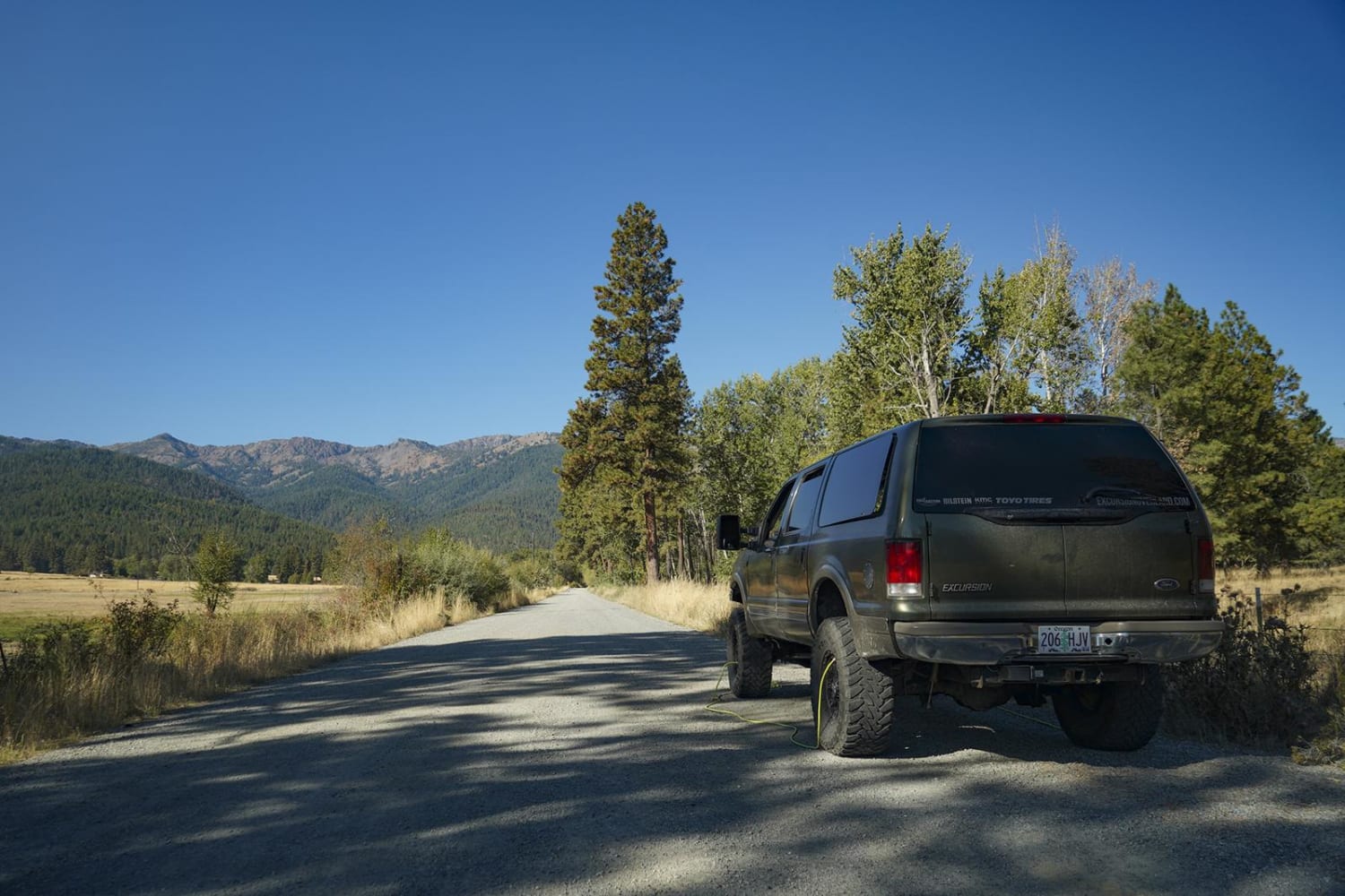
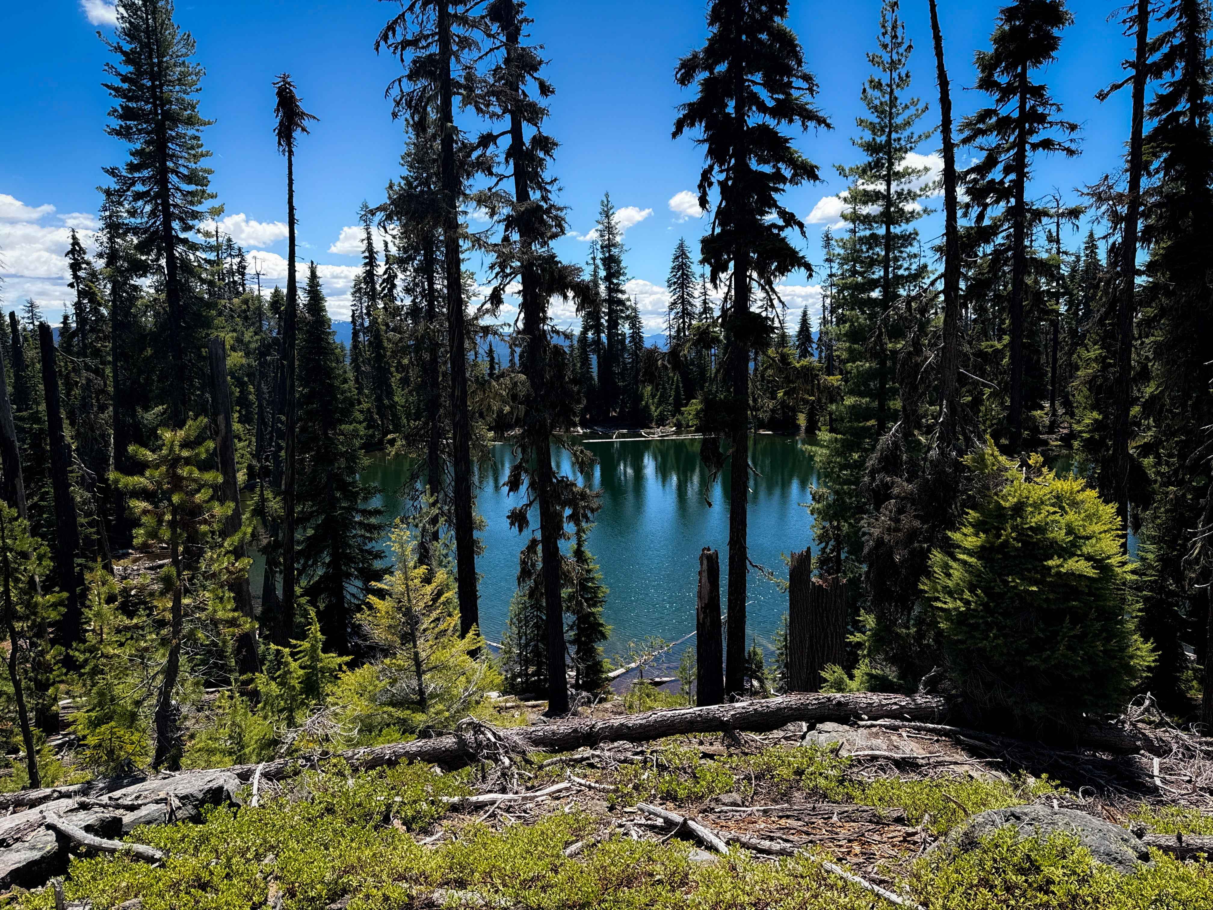
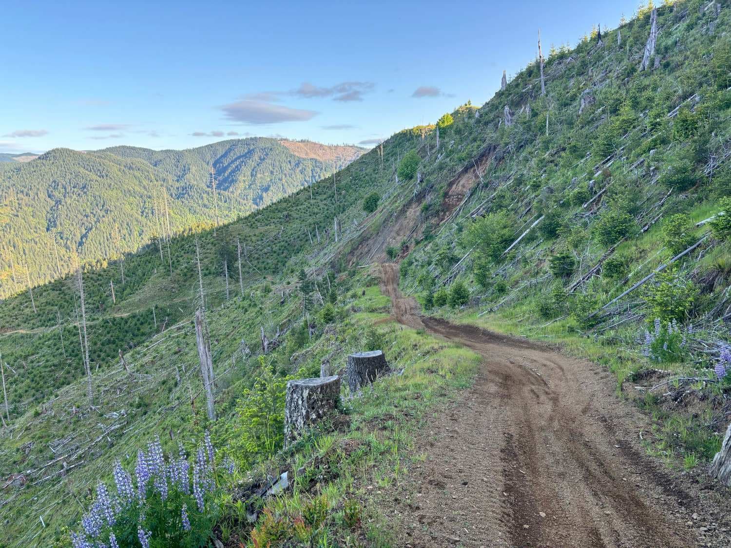
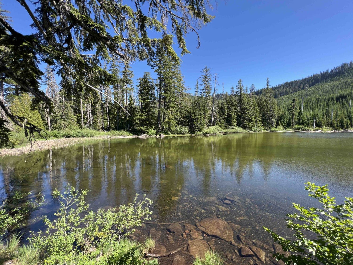
Photos of Marble Creek Pass
Difficulty
80% of the trail easy to moderate, with only a small section where high-clearance 4WD vehicles are strongly recommended.
Status Reports
Marble Creek Pass can be accessed by the following ride types:
- High-Clearance 4x4
- SUV
- ATV (50")
- Dirt Bike
Marble Creek Pass Map
Popular Trails
Calamut Lake

Jones Creek Road
Green Point - 2810
The onX Offroad Difference
onX Offroad combines trail photos, descriptions, difficulty ratings, width restrictions, seasonality, and more in a user-friendly interface. Available on all devices, with offline access and full compatibility with CarPlay and Android Auto. Discover what you’re missing today!