Summit Road NF2630
Total Miles
47.5
Technical Rating
Best Time
Spring, Summer, Fall
Trail Type
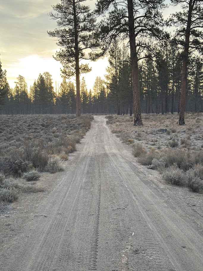
Full-Width Road
Accessible By
Trail Overview
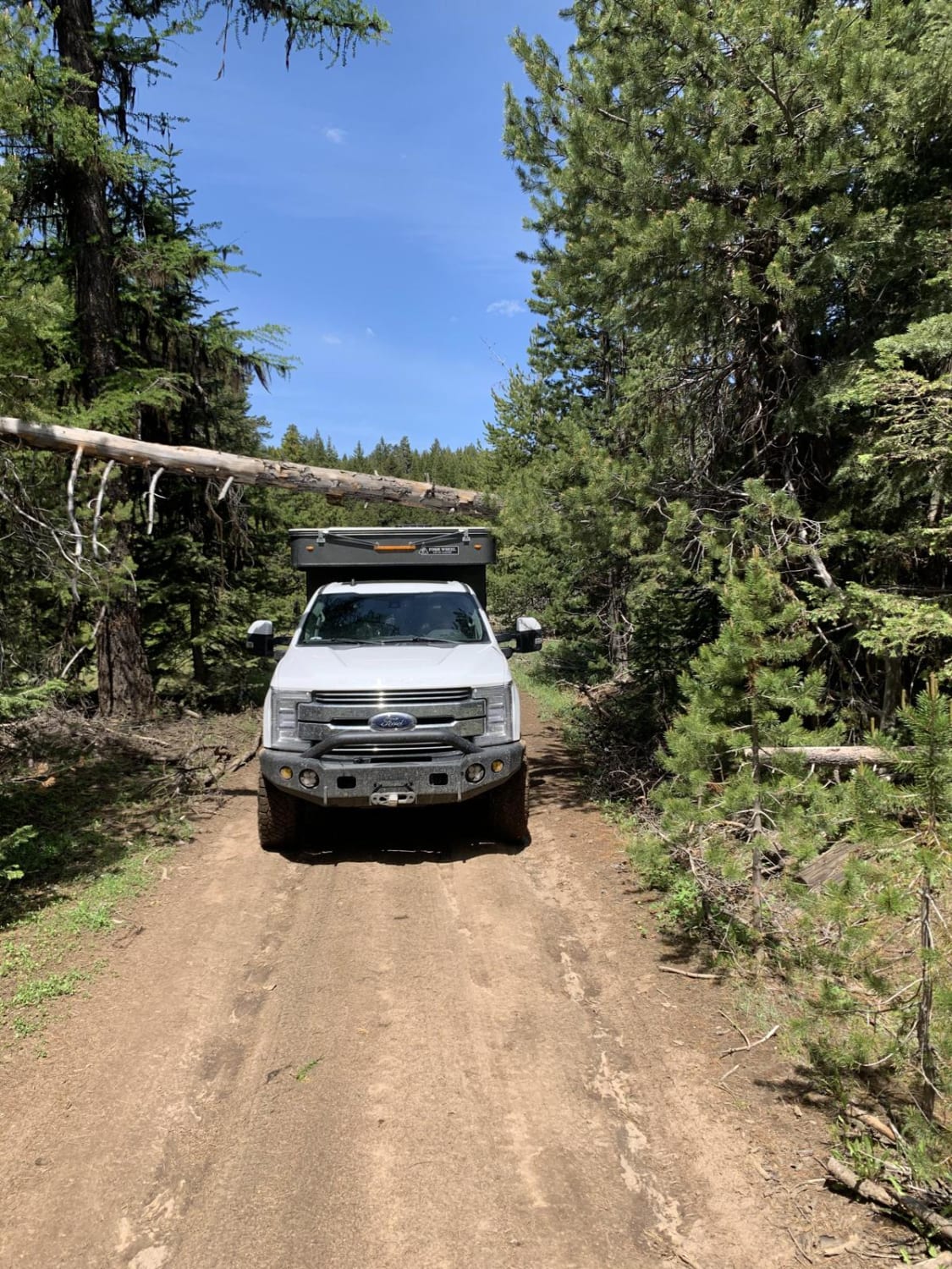
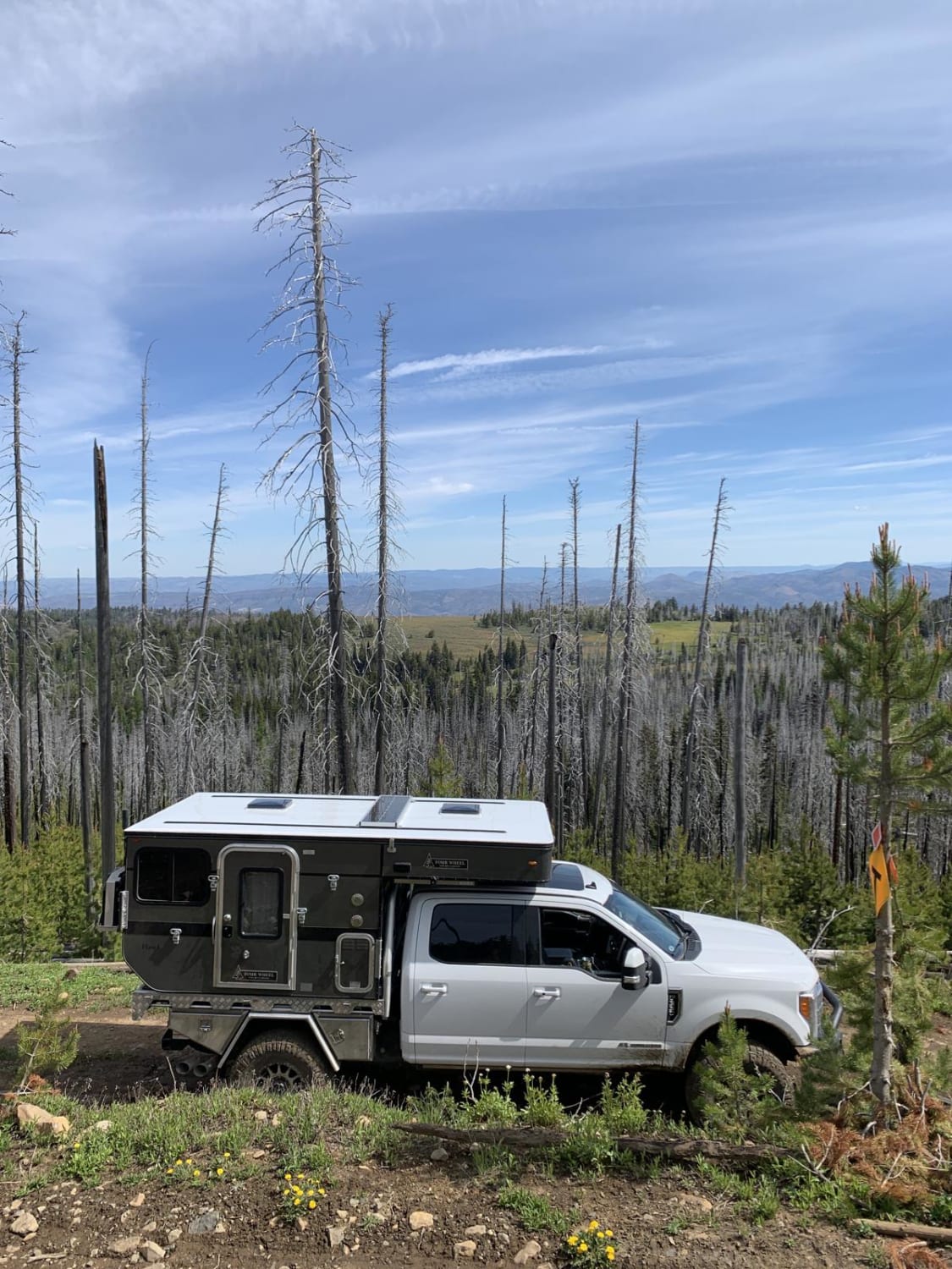
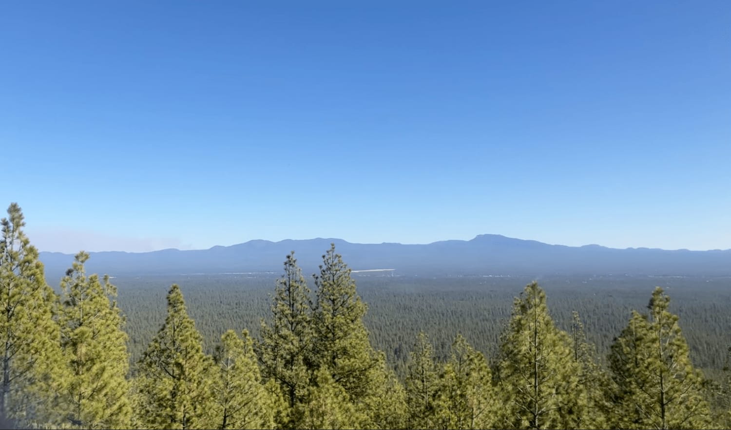
This route transports travelers from Highway 26 north of Prineville Oregon into the middle of the Ochoco National Forest. Along the way you'll find yourself navigating well-groomed forest service roads, fairly narrow and rocky road surfaces and a few small obstacles. You'll be rewarded with wonderful views of the forest and surrounding area as well as plenty of dispersed camping opportunities.This is a two-way road. Most of the way provides enough width for two vehicles to pass slowly in either direction. However there is a good amount of tree-lined sections that are wide enough for only one vehicle at a time. Obstacles like rocky surfaces, low hanging trees, small avoidable drop-offs and smaller seasonal mud pits are minimal, but there are a few spots that will require some attention and a high-clearance 4x4. There is little to no cell service so please be sure to download maps to your mobile device.
Photos of Summit Road NF2630
Difficulty
This route is very easy with over half being smooth gravel road. There are sections that are narrow, others that are very rough and some that are tight for large vehicles.
Status Reports
Summit Road NF2630 can be accessed by the following ride types:
- High-Clearance 4x4
- SUV
- SxS (60")
- ATV (50")
- Dirt Bike
Summit Road NF2630 Map
Popular Trails
Pringle Butte Trail

Mickey Alvord Wells Road
5-11A - Fort Rock to Hole in the Ground

FS 4140-000
The onX Offroad Difference
onX Offroad combines trail photos, descriptions, difficulty ratings, width restrictions, seasonality, and more in a user-friendly interface. Available on all devices, with offline access and full compatibility with CarPlay and Android Auto. Discover what you’re missing today!