Fisher Point 1164
Total Miles
7.3
Technical Rating
Best Time
Spring, Summer, Fall
Trail Type
Full-Width Road
Accessible By
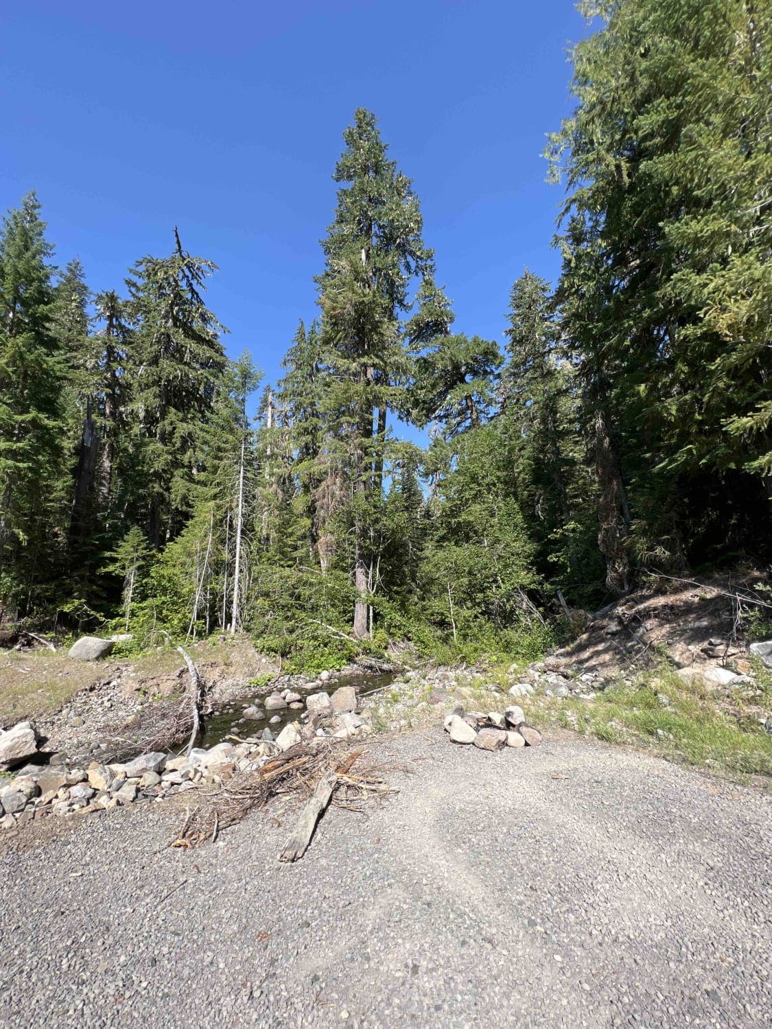
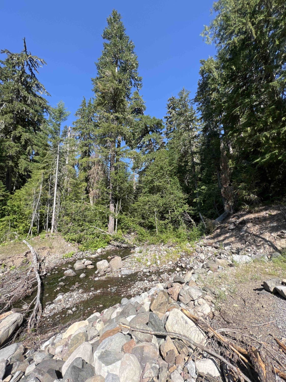
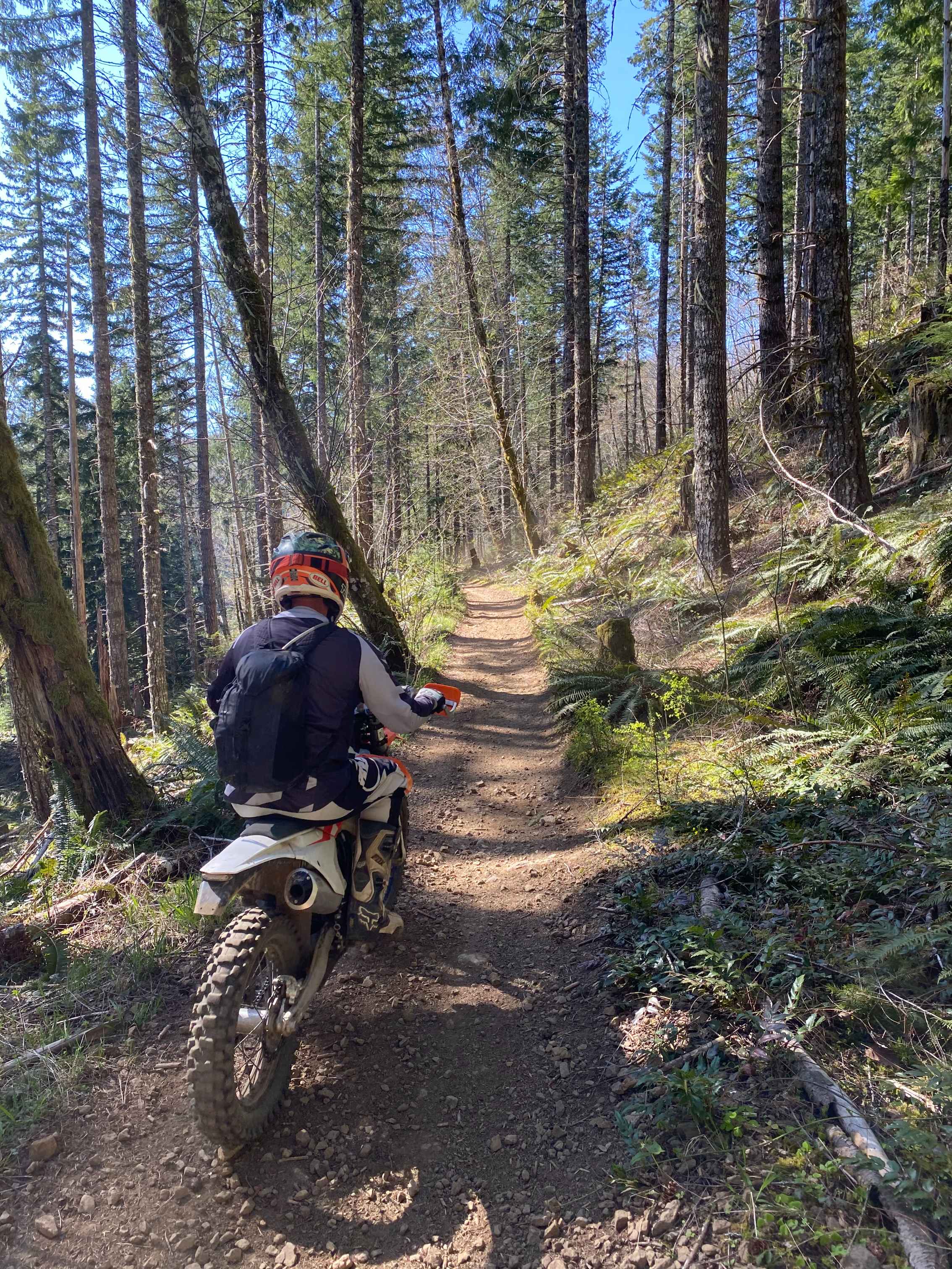
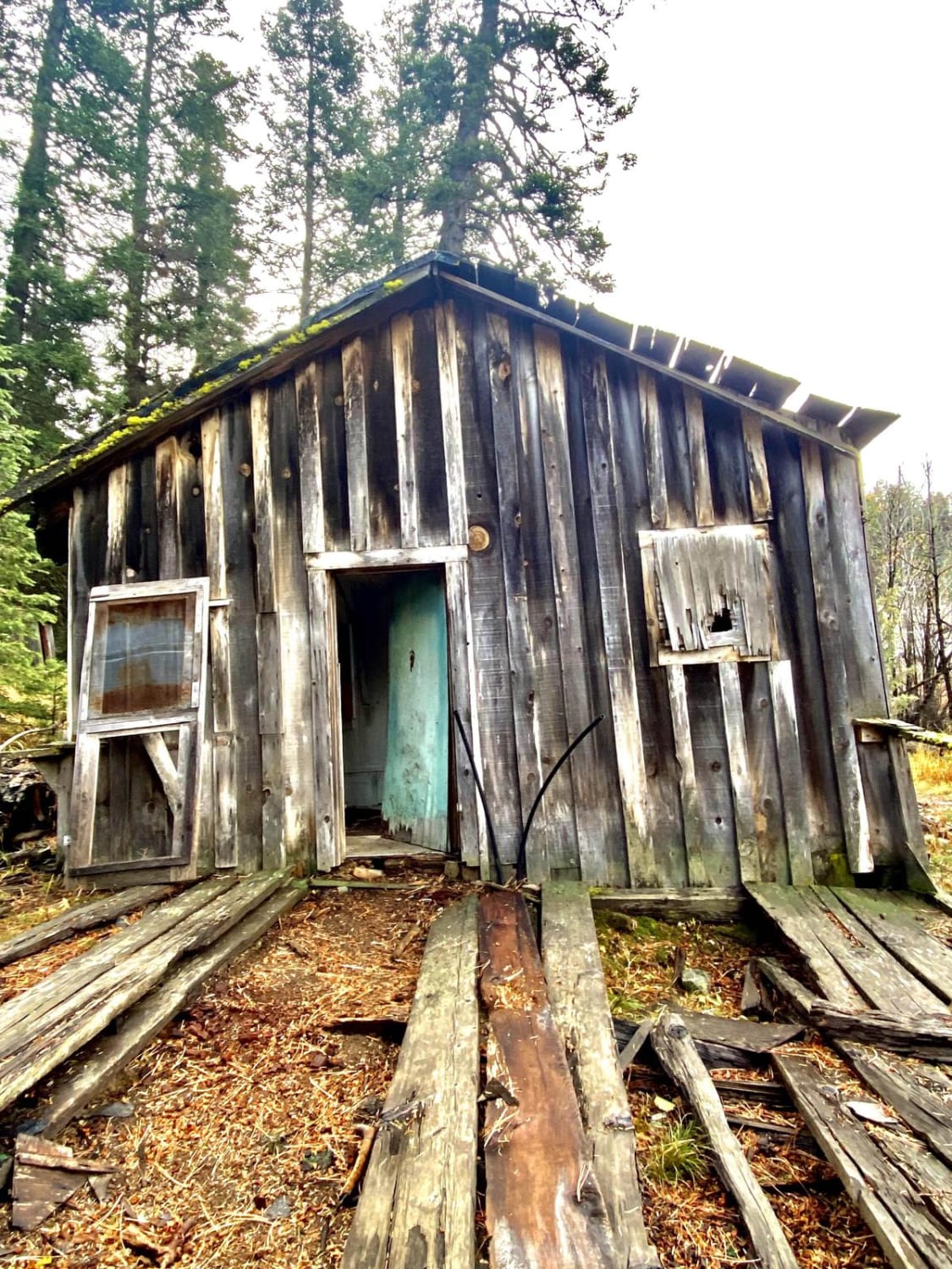
Trail Overview
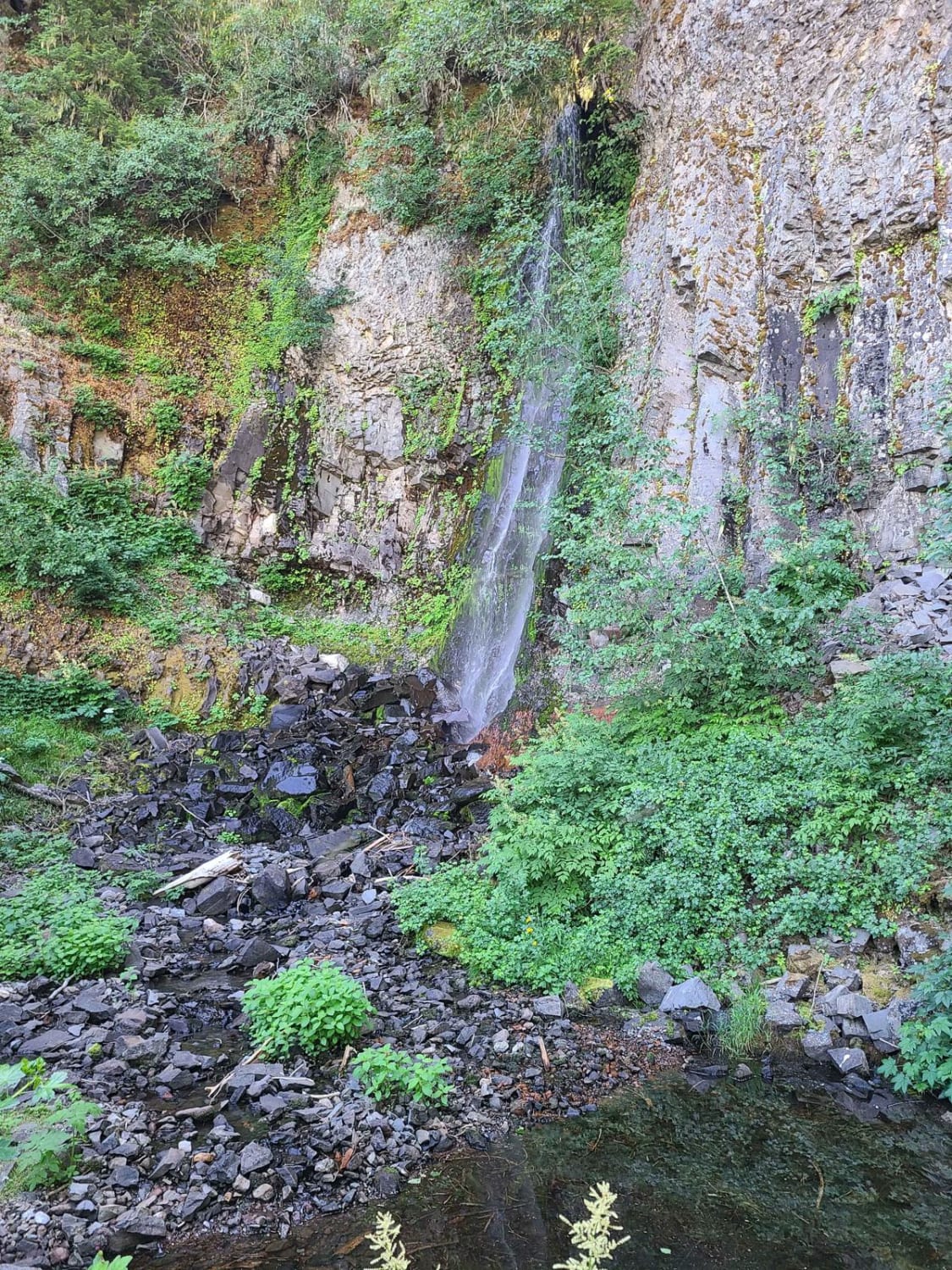
Fisher Point 1164 sits west of the Mount Jefferson Wilderness in the heart of the 1.7-million-acre Willamette National Forest. Mount Jefferson peaks at an elevation of 10,269 feet, the highest peak in the WNF, and can be seen throughout this route. Climbing to an elevation of 4,017 feet, adventurers will see views of massive peaks, long draws through the mountains, and waterfalls that flow over the road. This route in particular is very bumpy, with several potholes, large boulders in the road, overhanging trees, fallen trees, landslides, flash floods, washed-out sections, and falling debris. Active logging operations are taking place and extreme caution should be taken on blind corners. Radio channels are posted at the beginning of the trails. There are some off-the-road primitive campsites, however, there is no running water or restrooms. The WNF has posted signs asking explorers to pack it in and pack it out along with tread lightly principles with foot and vehicle traffic. Black bear habitats thrive in the WNF along with chipmunks, blue-grouse, mule deer, black-tailed deer, northern spotted owls, and red ants. Native to Western North America, Douglas fir is the prominent species of flora in the WNF, spanning over a hundred miles along with endless fields of wildflowers. Roads through this area are gated and open after March 1st and can be accessed until November 1st. Northwest Forest Recreation passes are required at all trailheads or you can download the recreation.gov/mobile-app to pay for the day-use fee.
Photos of Fisher Point 1164
Difficulty
This route is an easy gravel road, however, there are huge potholes, big boulders in the road, low clearance due to trees, the possibility of flash floods, sunken grades, and sheer vertical drop-offs of more than 1,000 feet.
History
Mount Jefferson is an active volcano and its domes were formed not very long ago, about 35,000 to 100,000 years ago. Although dormant, this mountain was once explosive, sending ash to Idaho. Here is some more history on the volcanos in this area. https://volcanoes.usgs.gov/observatories/cvo/Historical/LewisClark/Info/summary_mount_jefferson.shtml
Status Reports
Fisher Point 1164 can be accessed by the following ride types:
- High-Clearance 4x4
- SUV
- SxS (60")
- ATV (50")
- Dirt Bike
Fisher Point 1164 Map
Popular Trails
Trail 45 Log Jam - Leg 2
Little Badger Creek
Pioneer Gulch #2149
The onX Offroad Difference
onX Offroad combines trail photos, descriptions, difficulty ratings, width restrictions, seasonality, and more in a user-friendly interface. Available on all devices, with offline access and full compatibility with CarPlay and Android Auto. Discover what you’re missing today!