Malheur Ford
Total Miles
30.7
Technical Rating
Best Time
Summer, Spring, Fall
Trail Type
Full-Width Road
Accessible By
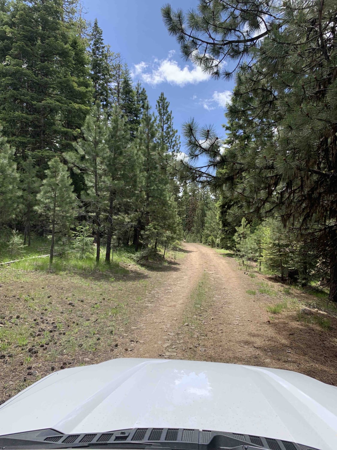
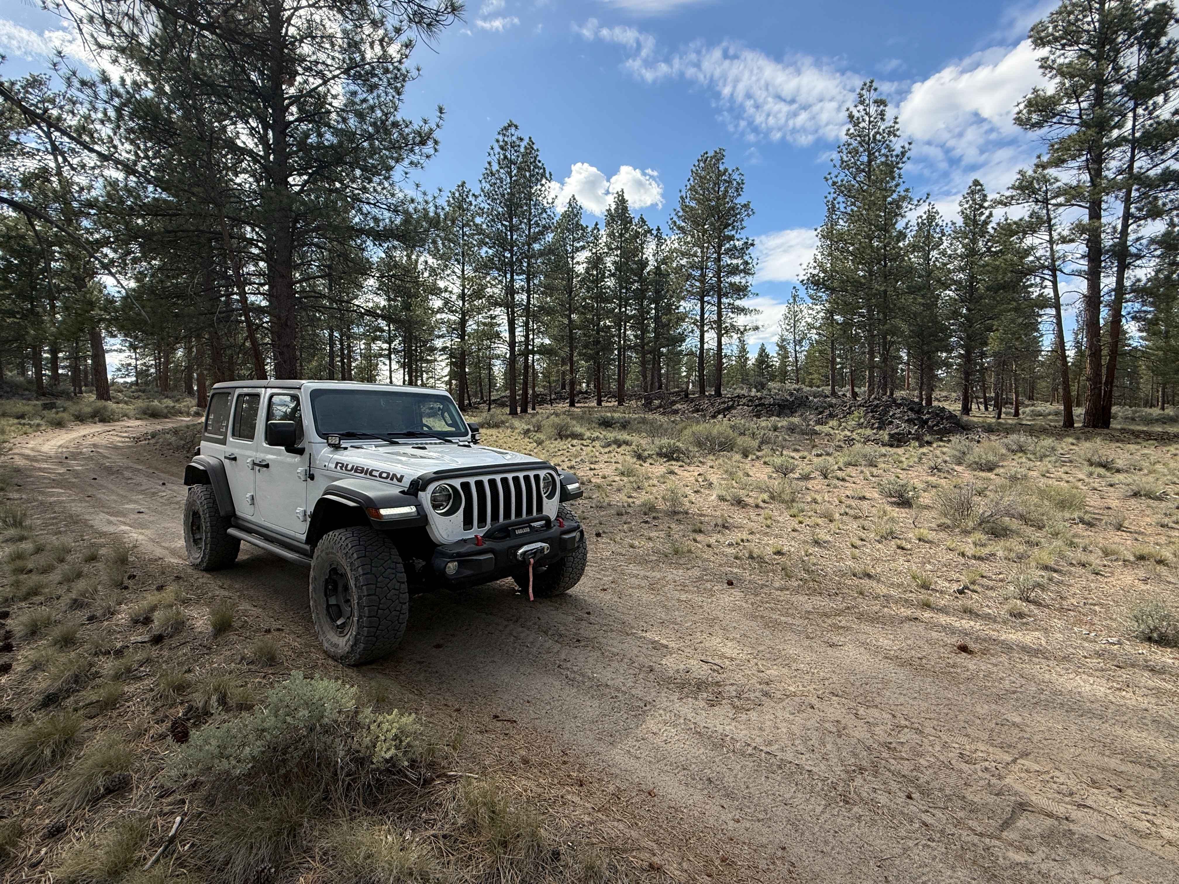
Trail Overview
This is a longer, more adventurous, alternative to the section on NF-16 that passes through Crane Prairie. Along the route you'll encounter a water crossing, numerous wild camping sites, and incredible views of the Malheur River. This route includes wide open higher speed gravel road as well as narrower - mildly challenging tracks. There are also may other roads in the area to explore, but please pay attention to closure signs as this area is sometimes subject to seasonal wildlife related closures and wild fire closures.
Photos of Malheur Ford

Difficulty
Overall the trail is pretty straight forward and easy for most 4x4s - however there is a water crossing that can be too deep for some lower clearance vehicles
Status Reports
Malheur Ford can be accessed by the following ride types:
- High-Clearance 4x4
- SUV
- SxS (60")
- ATV (50")
- Dirt Bike
Malheur Ford Map
Popular Trails

10 Mile OHV Trail

Backway to Hole-in-the-Ground from Flat Top

The onX Offroad Difference
onX Offroad combines trail photos, descriptions, difficulty ratings, width restrictions, seasonality, and more in a user-friendly interface. Available on all devices, with offline access and full compatibility with CarPlay and Android Auto. Discover what you’re missing today!